

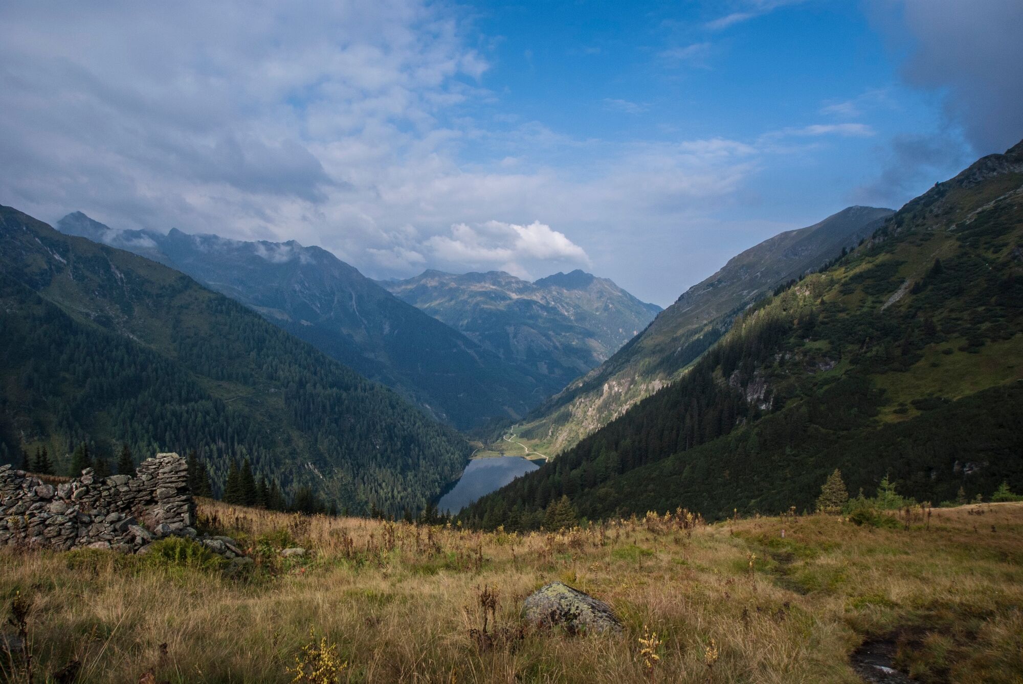
© Erlebnisregion Schladming-Dachstein - Schladming Dachstein

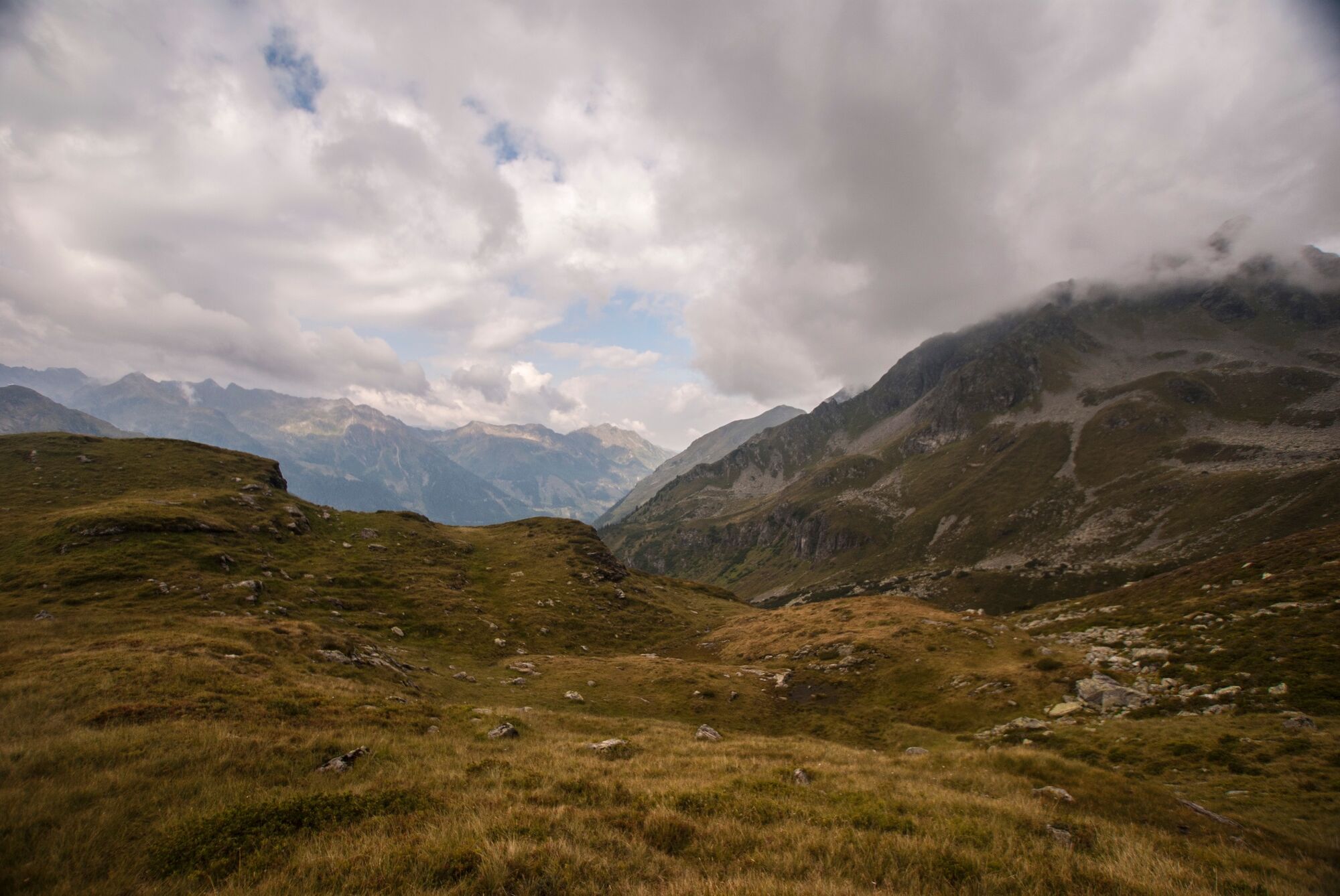
© Erlebnisregion Schladming-Dachstein - Gerhard Pilz

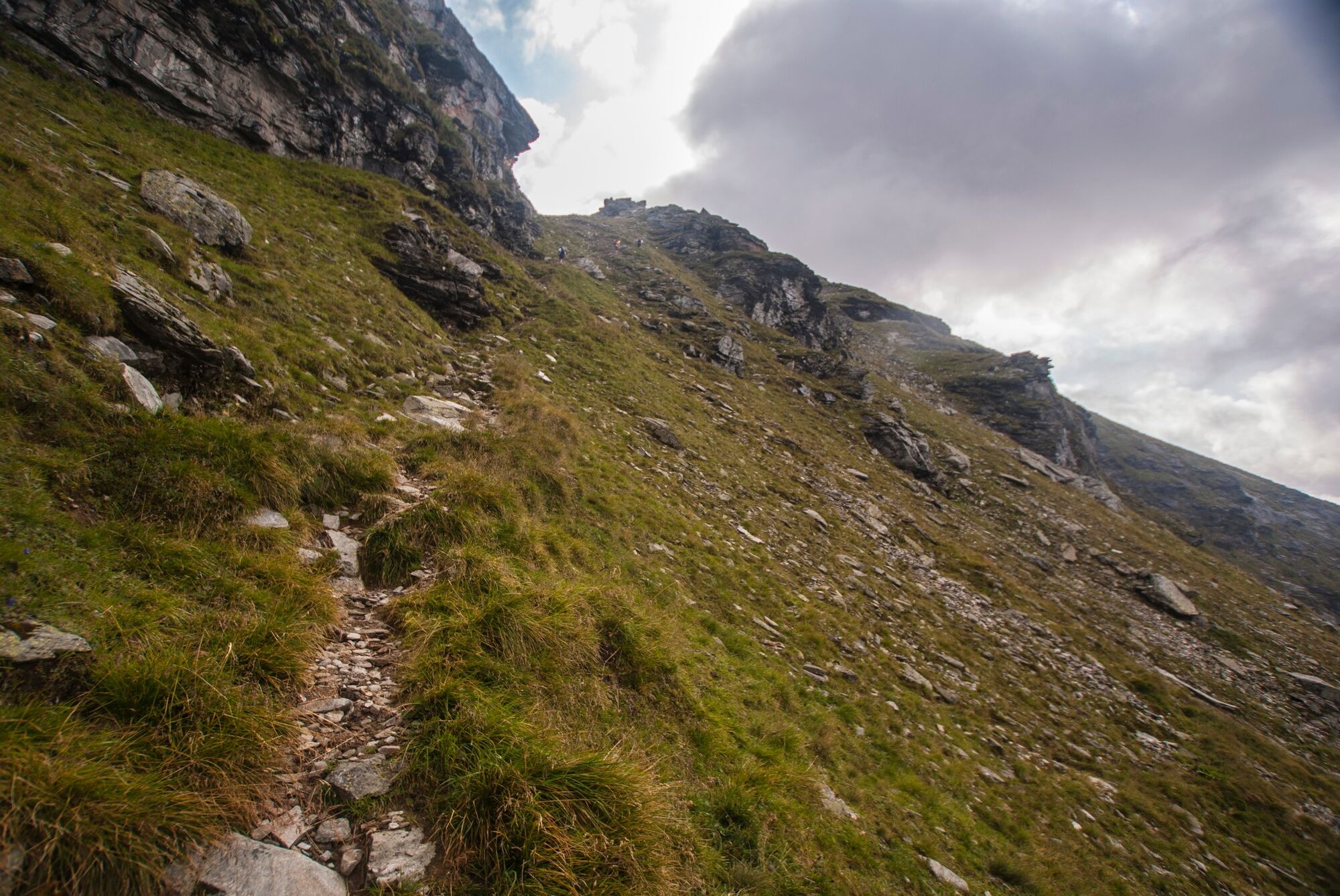
© Erlebnisregion Schladming-Dachstein - Gerhard Pilz

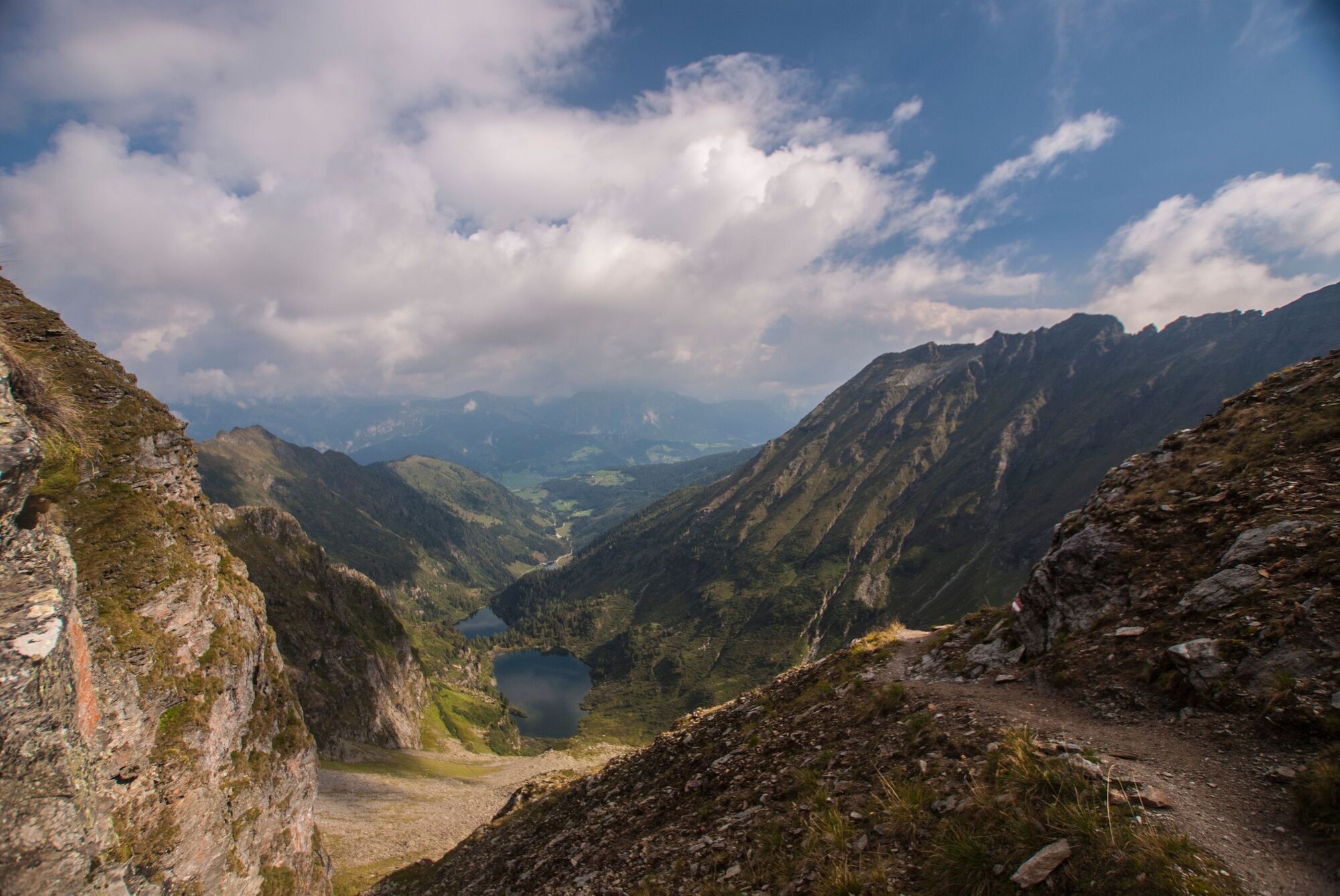
© Erlebnisregion Schladming-Dachstein - Gerhard Pilz

© Erlebnisregion Schladming-Dachstein - Gerhard Pilz

© Erlebnisregion Schladming-Dachstein - Gerhard Pilz

© Erlebnisregion Schladming-Dachstein - Gerhard Pilz

© Erlebnisregion Schladming-Dachstein - Gerhard Pilz

© Erlebnisregion Schladming-Dachstein - Gerhard Pilz

© Erlebnisregion Schladming-Dachstein - Gerhard Pilz
- Kort beskrivelse
-
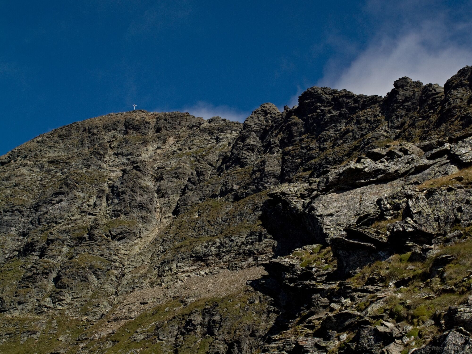
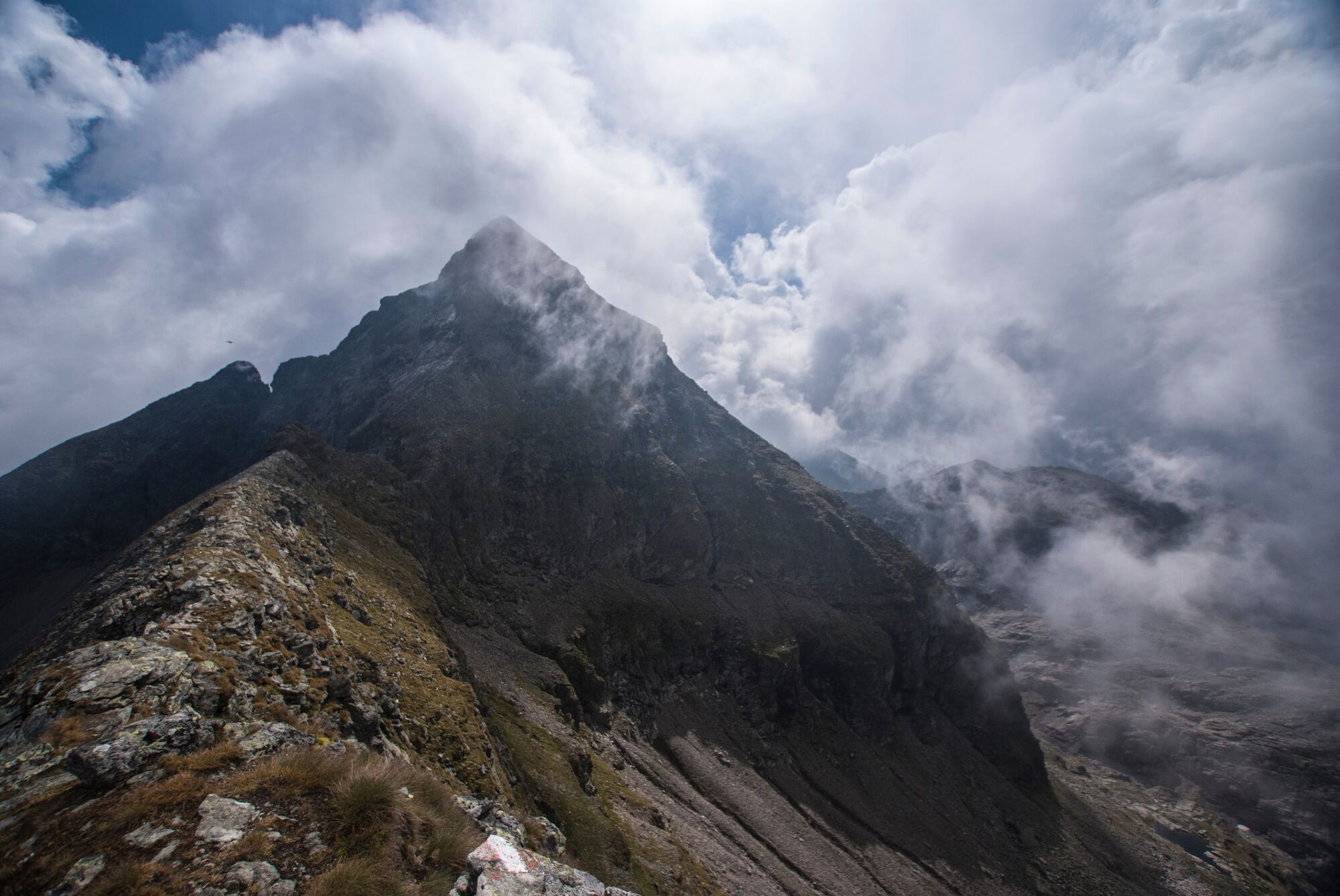
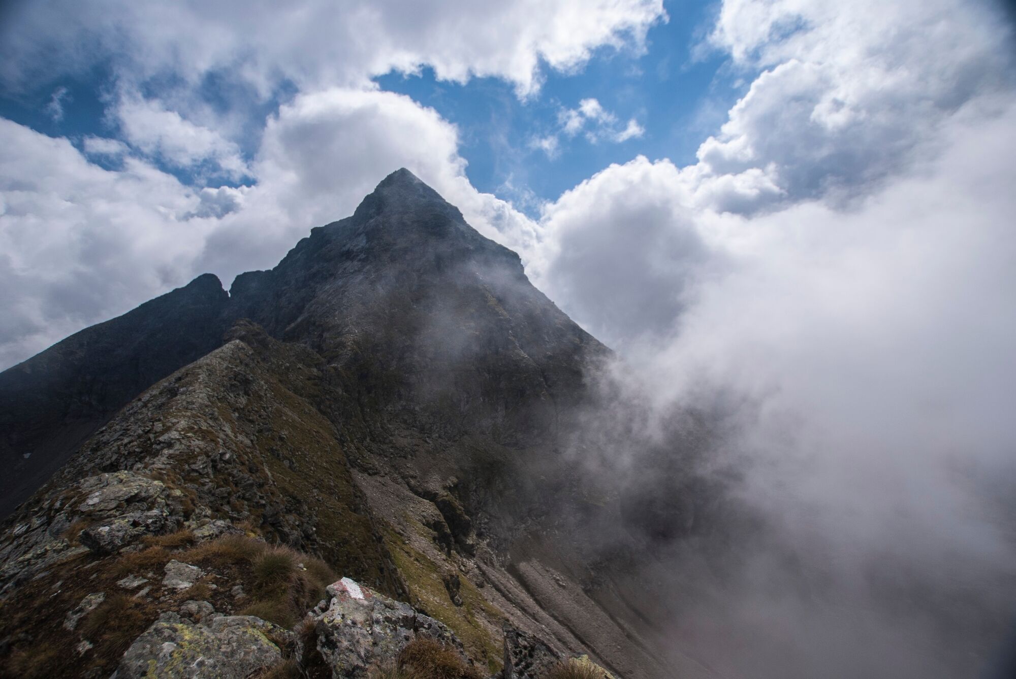
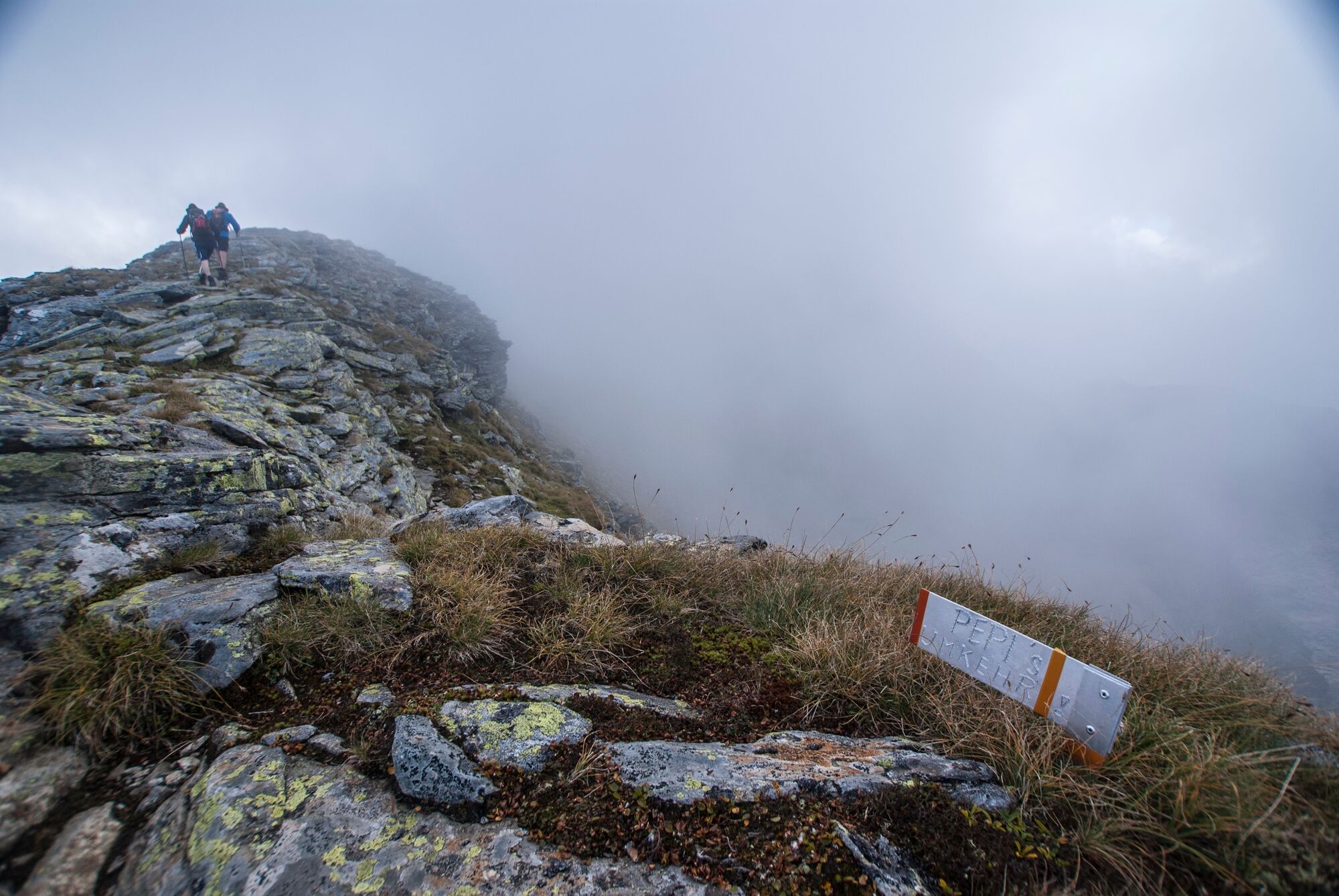
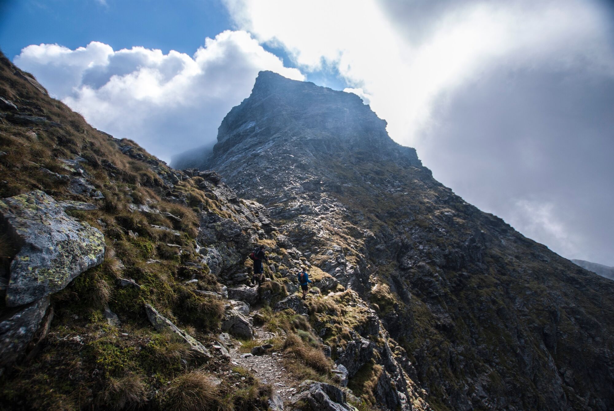
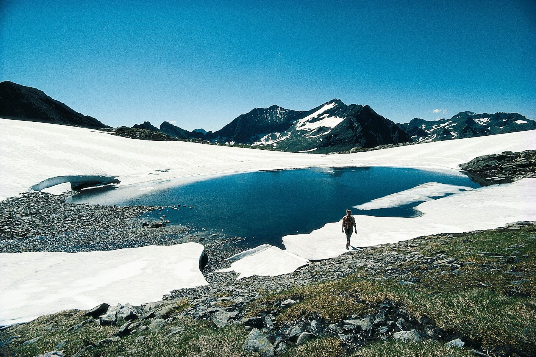
Rewarding, exhausting and not without danger!
- Sværhedsgrad
-
tung
- Evaluering
-
- Rute
-
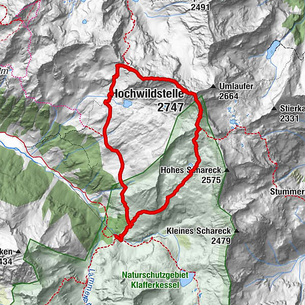
Waldhornalm0,0 kmWildlochscharte (2.488 m)3,3 kmHochwildstelle (2.747 m)4,1 kmSeewigscharte (2.555 m)4,5 kmKleine Wildstelle (2.577 m)4,8 kmPreintalerhütte (1.657 m)9,8 kmWaldhornalm9,8 km
- Bedste sæson
-
janfebmaraprmajjunjulaugsepoktnovdec
- Højeste punkt
- 2.734 m
- Destination
-
To the Hochwildstelle and back to the Preintalerhütte
- Højdeprofil
-


-

-
ForfatterRundvisningen The Hochwildstelle - 2.747m via the Preintalerhütte bruges af outdooractive.com forudsat.
GPS Downloads


Generel information
Forfriskningsstop
Insider-tip
Flora
Lovende
Flere ture i regionerne
-
Schladming - Dachstein
3001
-
Haus - Aich
1365
-
Haus im Ennstal
368


