
© © Stefan Leitner
© © Stefan Leitner

© © Stefan Leitner

© © Stefan Leitner

© © Stefan Leitner

- Kort beskrivelse
-
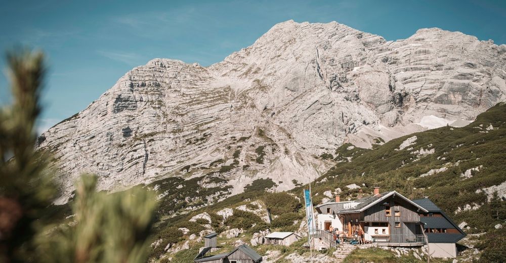
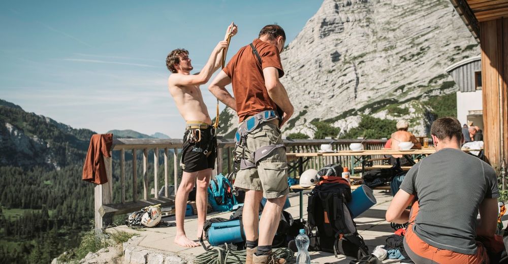
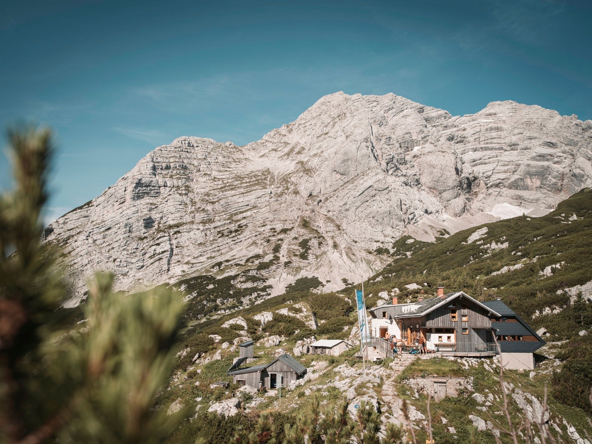
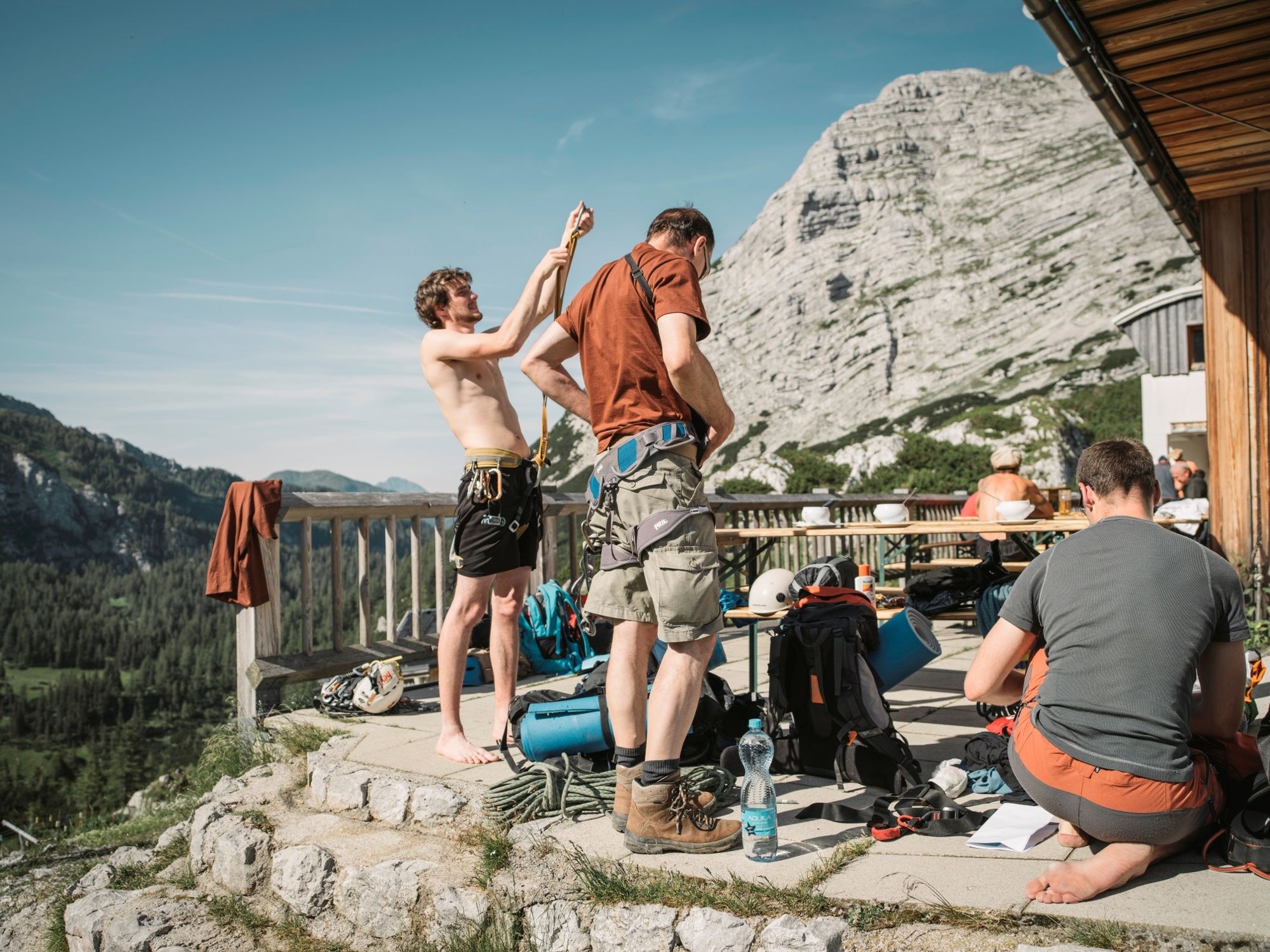
Classic hike in the Gesäuse National Park to the Heßhütte at the foot of the Hochtor.
- Sværhedsgrad
-
medium
- Evaluering
-
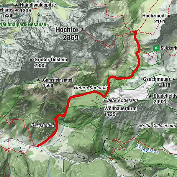
- Rute
-
Wolfbauer Wasserfall1,4 kmGamsbrunnen5,3 kmHesshütte6,0 kmWolfbauer Wasserfall10,6 km
- Bedste sæson
-
janfebmaraprmajjunjulaugsepoktnovdec
- Højeste punkt
- 1.698 m
- Destination
-
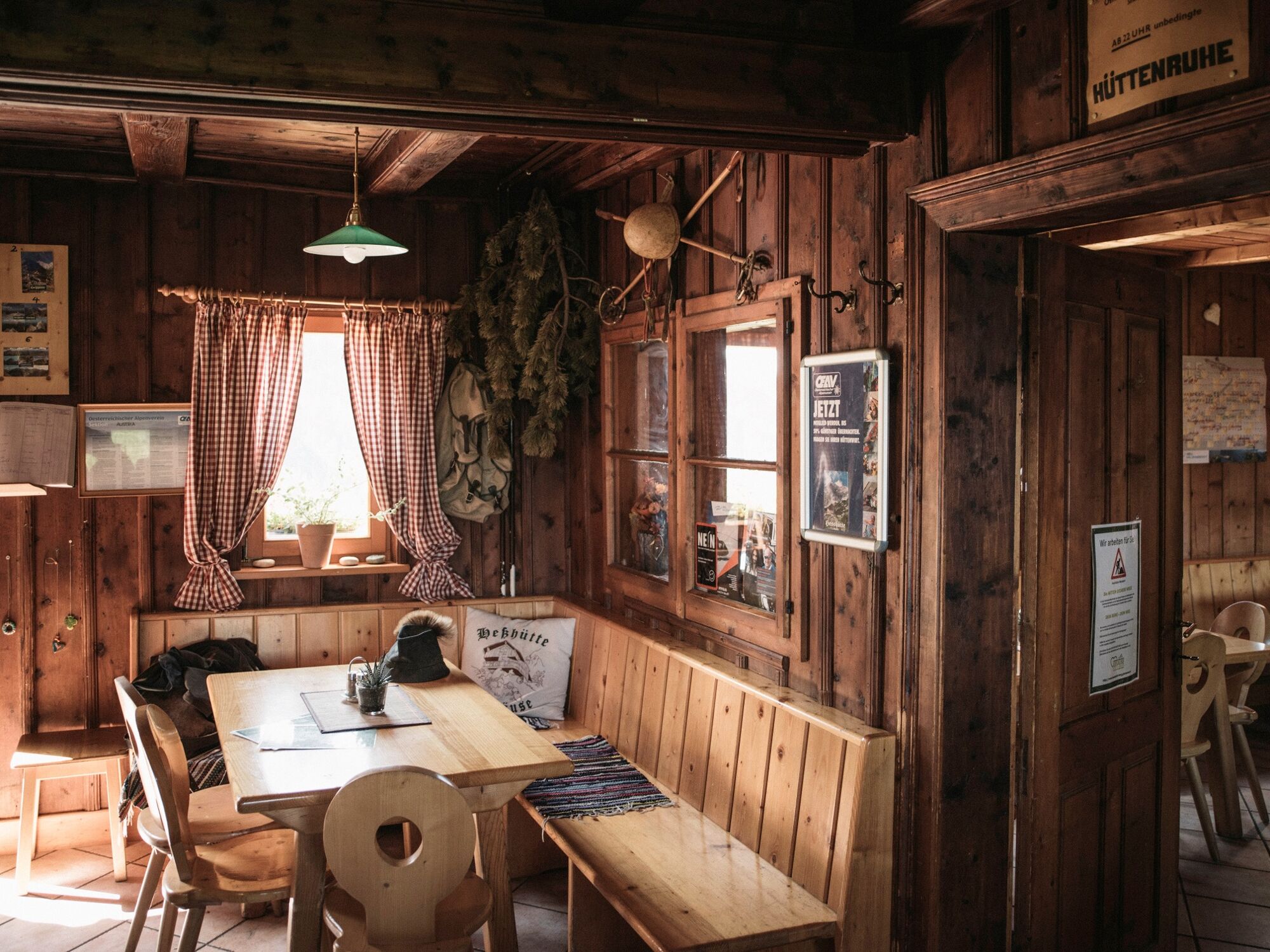
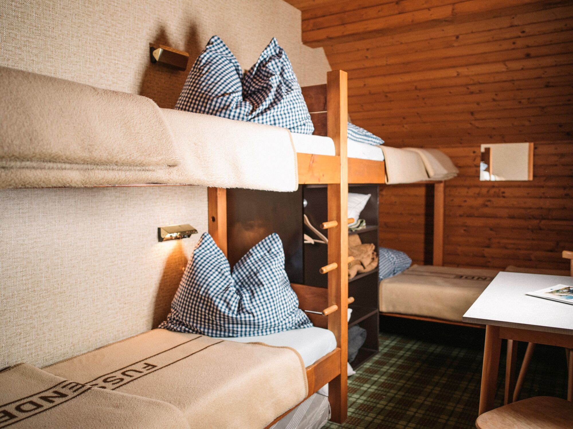
Heßhütte - 1.699 m
- Højdeprofil
-

-

-
ForfatterRundvisningen From Johnsbach to the Heßhütte bruges af outdooractive.com forudsat.
GPS Downloads


Generel information
Forfriskningsstop
Flora
Lovende


 & Kaiserschild (rechts)")


