

© Weges OG

© Weges OG

© Weges OG

© Weges OG

© Weges OG

© Weges OG

© Weges OG

© Weges OG

© Weges OG

© Weges OG

- Kort beskrivelse
- Sværhedsgrad
-
medium
- Evaluering
-
- Rute
-
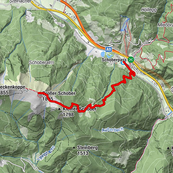
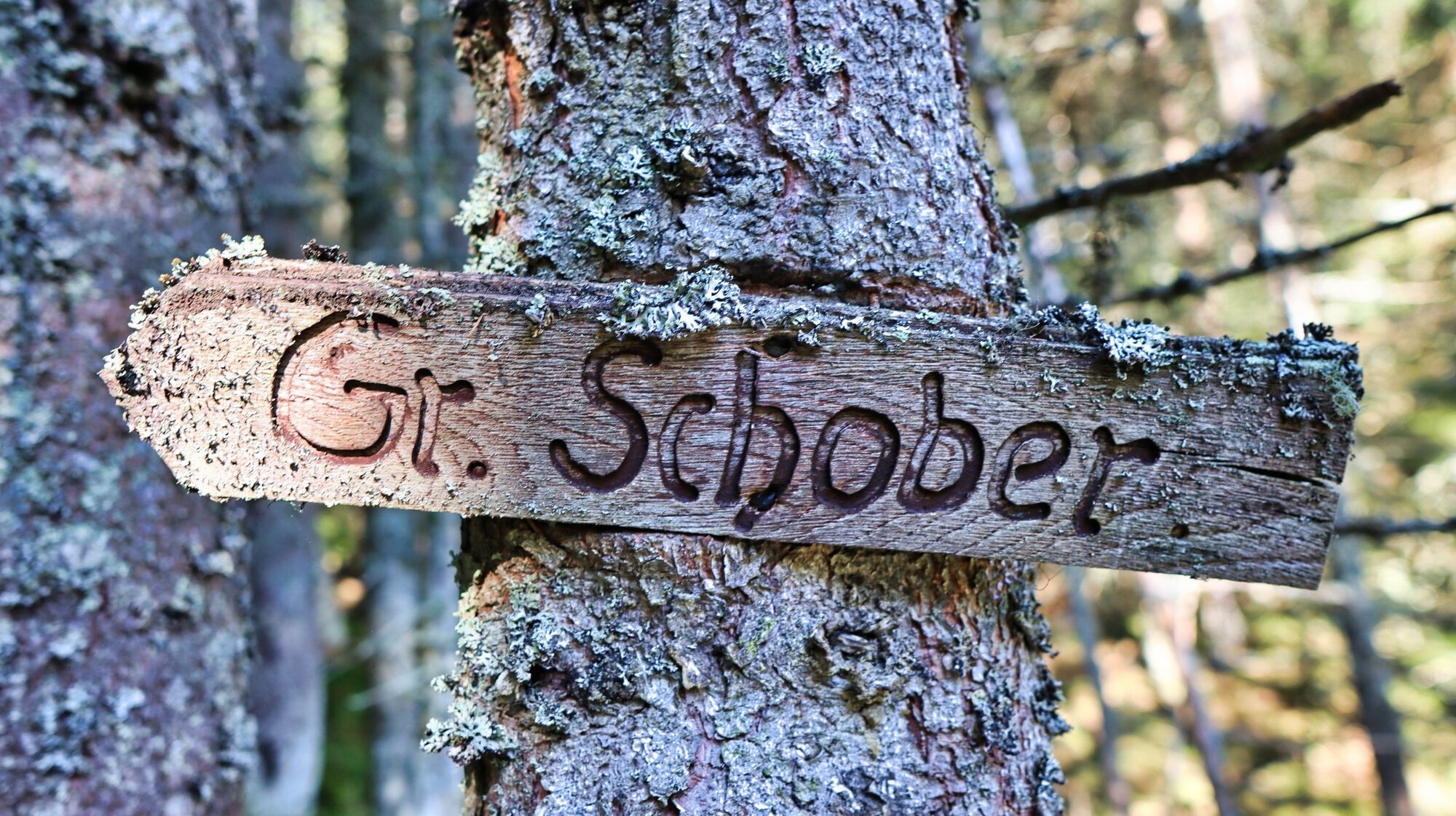
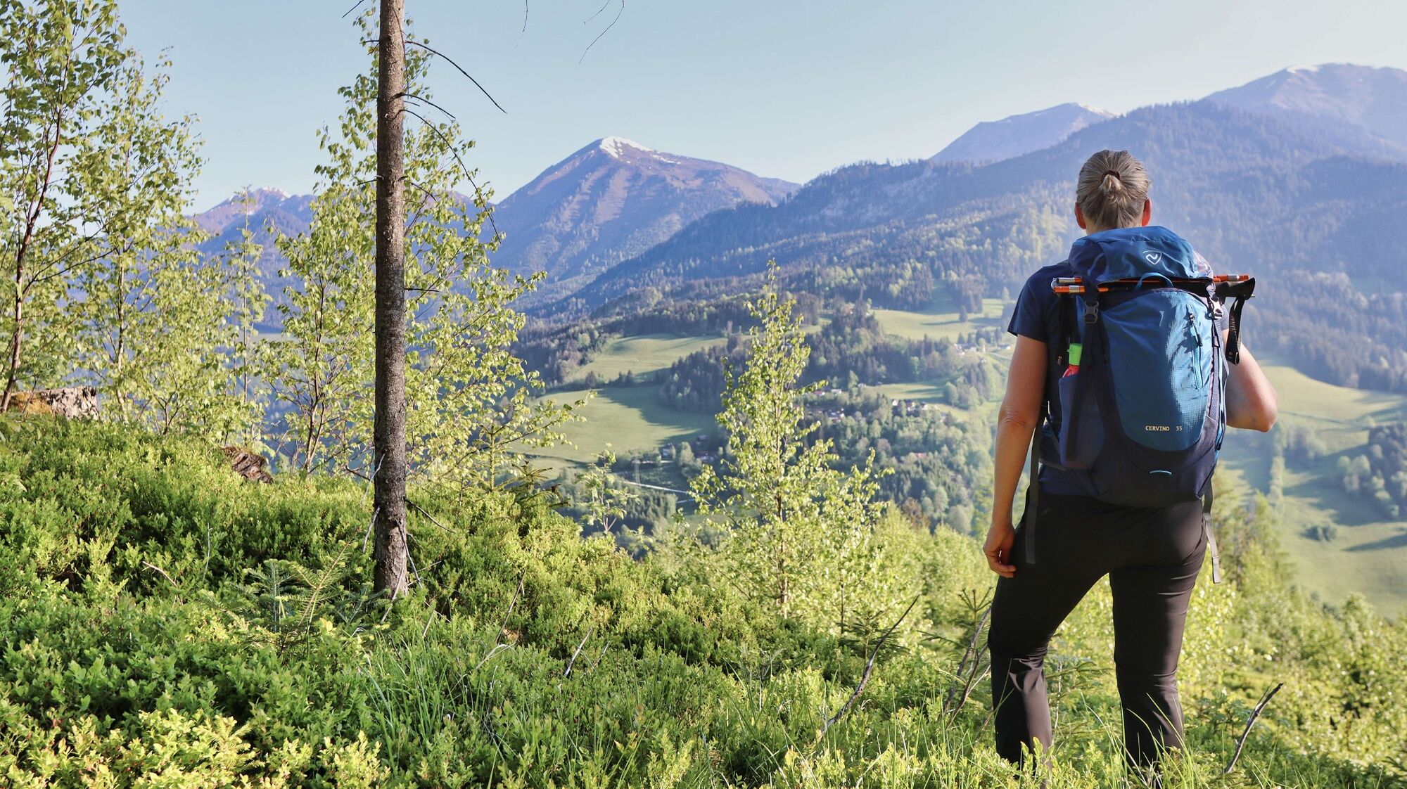
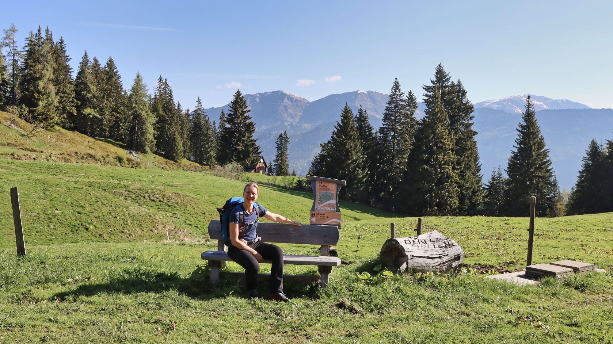
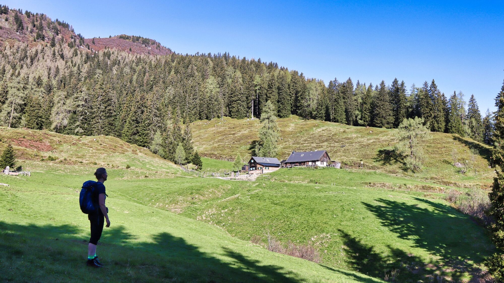
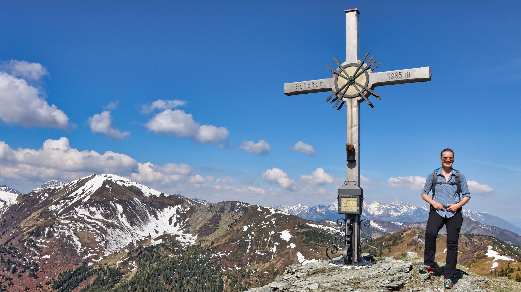
Wald am Schoberpass (849 m)0,0 kmWald am Schoberpaß (845 m)0,3 kmSchwarzbeeralm3,1 kmGroßer Schober (1.895 m)5,4 kmSchwarzbeeralm7,7 kmWald am Schoberpaß (845 m)10,6 kmWald am Schoberpass (849 m)10,9 km
- Bedste sæson
-
janfebmaraprmajjunjulaugsepoktnovdec
- Højeste punkt
- 1.876 m
- Destination
-
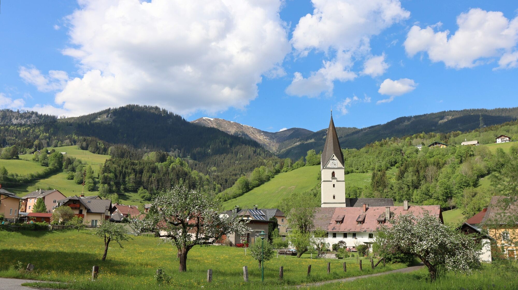
Wald am Schoberpass
- Højdeprofil
-


- Forfatter
-
Rundvisningen Großer Schober bruges af outdooractive.com forudsat.
GPS Downloads


Generel information
Forfriskningsstop
Lovende
Flere ture i regionerne
-
Gesäuse
2226
-
Wald am Schoberpass
274
")

 & Kaiserschild (rechts)")


