© TV Gamlitz - Harry Schiffer

© TV Gamlitz - Harry Schiffer

© TV Gamlitz - Harry Schiffer

© TV Gamlitz - Harry Schiffer

© TV Gamlitz - Harry Schiffer
- Kort beskrivelse
-
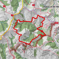
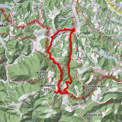
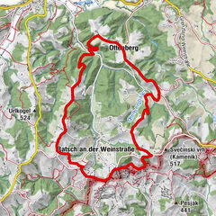
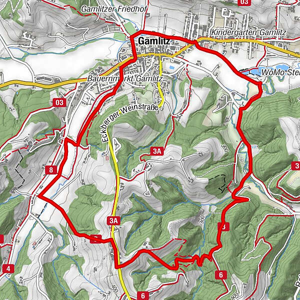
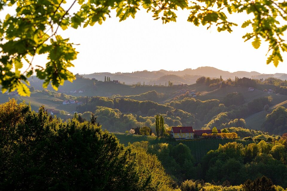
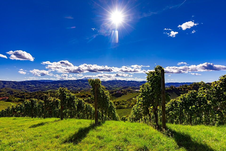
Panoramic circular hike through Gamlitz and the South Styrian Wine Route. Enjoy the view and stop for refreshments!
- Sværhedsgrad
-
let
- Evaluering
-
- Rute
-
Gamlitz0,2 kmWeinhof Nekrep4,5 kmGamlitz7,2 km
- Bedste sæson
-
janfebmaraprmajjunjulaugsepoktnovdec
- Højeste punkt
- 416 m
- Destination
-
Sportplatz Gamlitz
- Højdeprofil
-


-

-
ForfatterRundvisningen Gamlitz - Gaberhöhe - Steinbach, trail no. 3 bruges af outdooractive.com forudsat.
GPS Downloads


Generel information
Forfriskningsstop
Lovende
Flere ture i regionerne
-
Südsteiermark
1135
-
Maribor-Pohorje
263
-
Gamlitz
290