© Erlebnisregion Schladming-Dachstein - Barbara Luidold

© Erlebnisregion Schladming-Dachstein - Barbara Luidold

© Erlebnisregion Schladming-Dachstein - Barbara Luidold

© Erlebnisregion Schladming-Dachstein - Barbara Luidold
- Kort beskrivelse
-
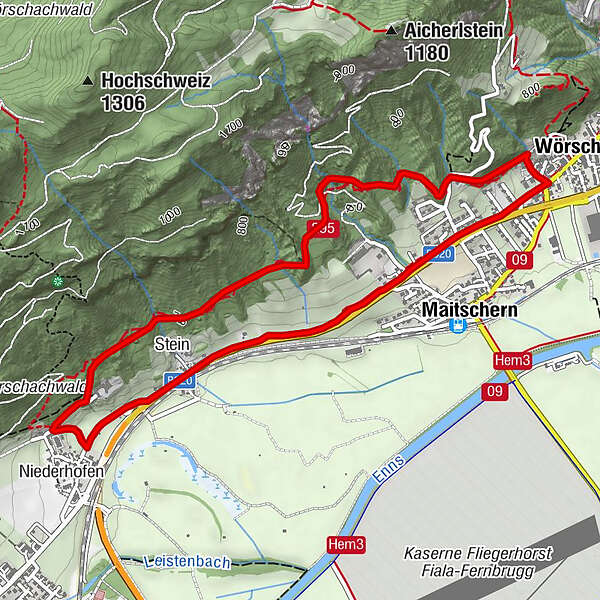
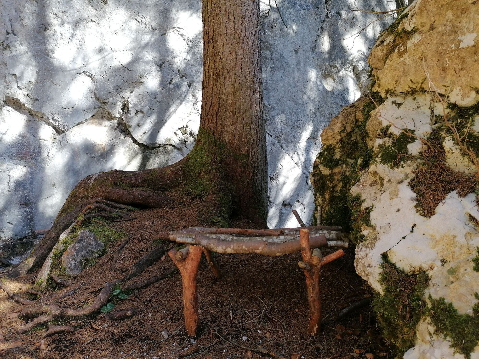
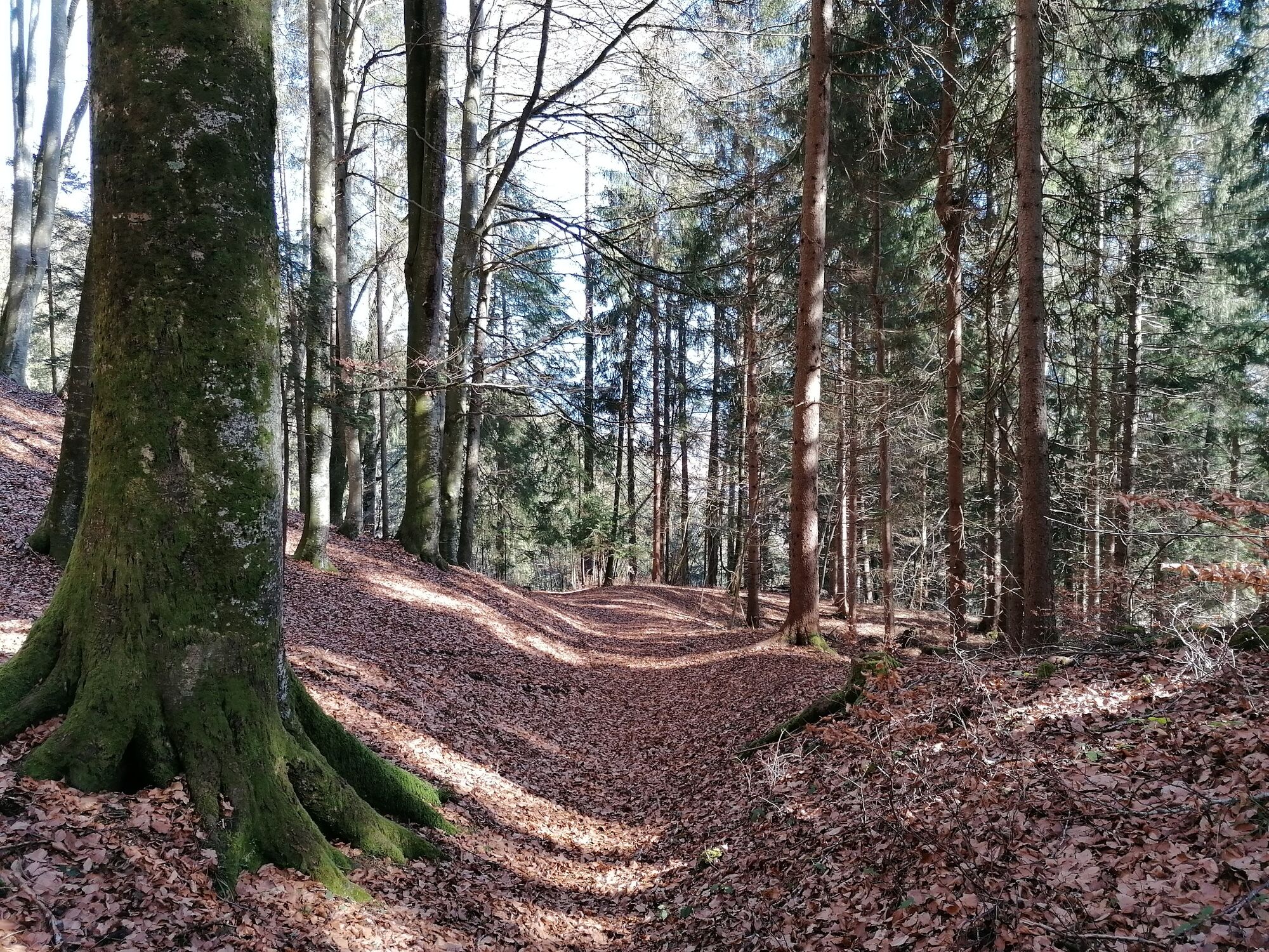
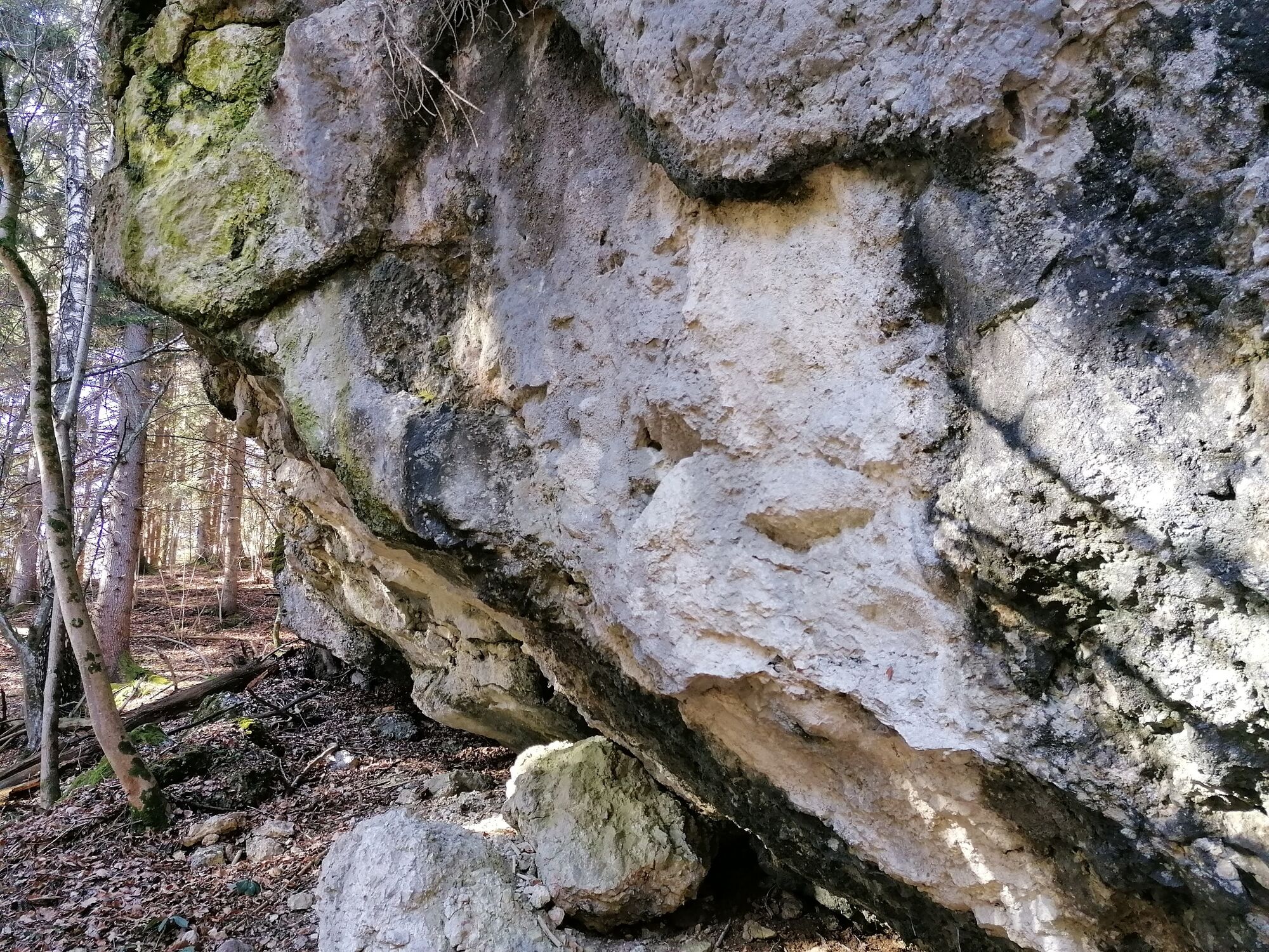
From Wörschach to Stainach goes the trail that leads through a beech forest and along rock walls and brooks.
- Sværhedsgrad
-
let
- Evaluering
-
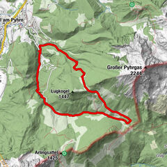
- Rute
-
WörschachGasthaus Weitgasser0,5 kmMaitschern0,6 kmRochus Kapelle2,9 kmNiederhofen3,2 kmStein3,6 kmMaitschern4,9 kmWörschach5,5 km
- Bedste sæson
-
janfebmaraprmajjunjulaugsepoktnovdec
- Højeste punkt
- 746 m
- Destination
-
Parkplace at the Municipal Office Wörschach.
- Højdeprofil
-


-

-
ForfatterRundvisningen Fürstenway bruges af outdooractive.com forudsat.
GPS Downloads


Generel information
Forfriskningsstop
Flere ture i regionerne