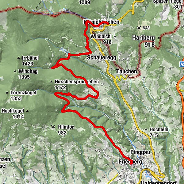
HWW-Hiking route: Mönichkirchen - Schaueregg/Fichtenhof - Koglreith - Friedberg


© Oststeiermark Tourismus - XKarin Hofer
- Kort beskrivelse
-
This HWW hiking route is part of the Wechselland Historical Long-Distance Hiking Trail (HWW), which tells the story of Wechselland along more than 100 HWW stations. More information can be found at www.wechsel-wandern.at.
- Sværhedsgrad
-
medium
- Evaluering
-
- Rute
-
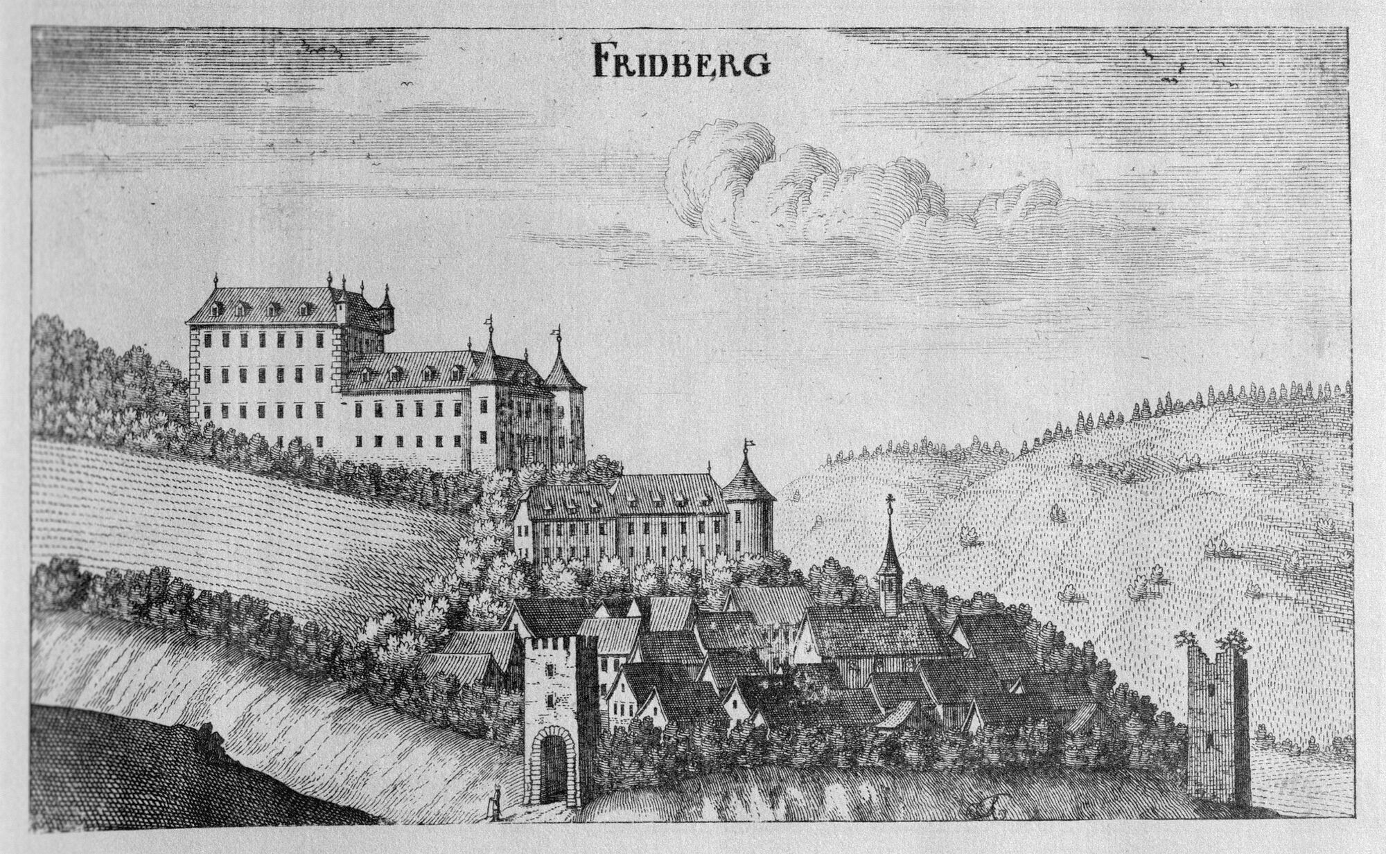
Mönichkirchen0,4 kmPfarrkirche Mönichkirchen0,4 kmBaumgarten9,9 kmKoglreith10,9 kmSpielplatz Burg Friedberg19,6 kmPfarrkirche hl. Jakobus der Ältere20,2 kmFriedberg20,2 km
- Bedste sæson
-
janfebmaraprmajjunjulaugsepoktnovdec
- Højeste punkt
- 1.048 m
- Destination
-
Mönichkirchen
- Højdeprofil
-

-

-
ForfatterRundvisningen HWW-Hiking route: Mönichkirchen - Schaueregg/Fichtenhof - Koglreith - Friedberg bruges af outdooractive.com forudsat.
GPS Downloads


Generel information
Kulturel/Historisk
Flere ture i regionerne
-
Wiener Alpen
3048
-
Kräuterregion Wechselland
1085
-
Mönichkirchen
358