© TV Gesäuse - Tourismusverband Gesäuse

© TV Gesäuse - Tourismusverband Gesäuse

© TV Gesäuse - Tourismusverband Gesäuse

© TV Gesäuse - Tourismusverband Gesäuse

© TV Gesäuse - Tourismusverband Gesäuse
© TV Gesäuse - Tourismusverband Gesäuse

© TV Gesäuse - Tourismusverband Gesäuse

© TV Gesäuse - Tourismusverband Gesäuse

© TV Gesäuse - Tourismusverband Gesäuse

© TV Gesäuse - Tourismusverband Gesäuse

- Kort beskrivelse
-
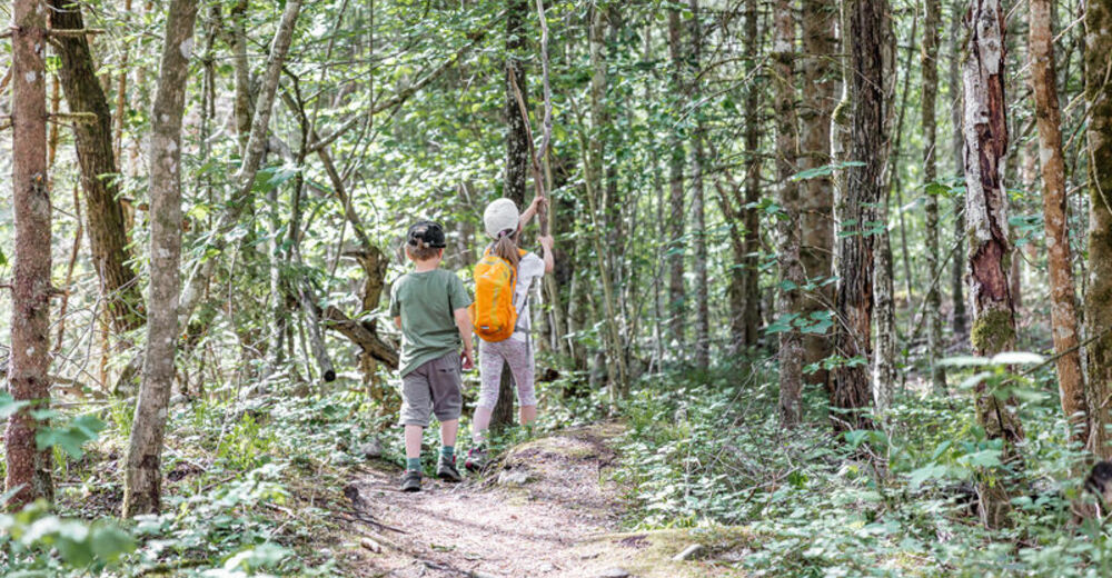
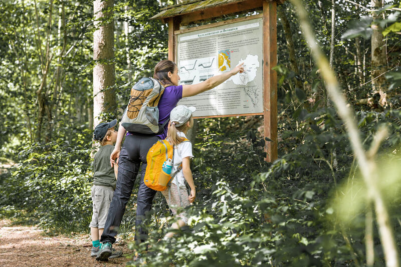
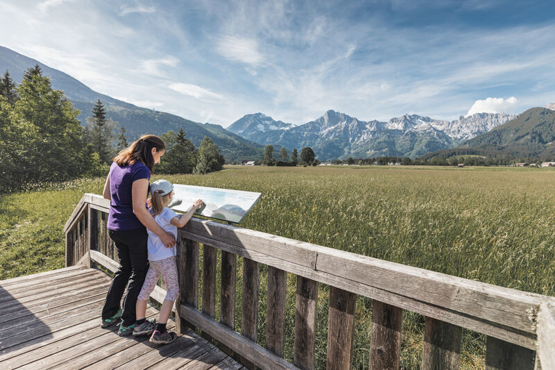
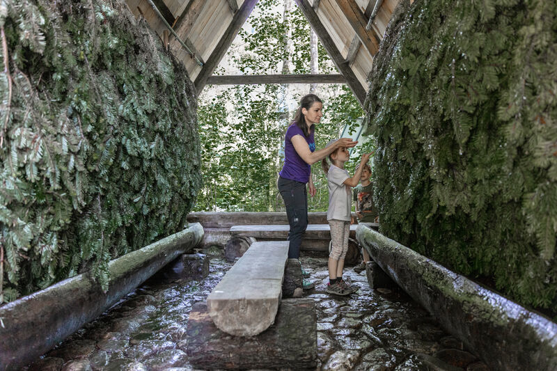
The very name HALL indicates the presence of salt. First mentioned in 931, the salt works were in operation from Hall until 1543. Grading plants originally served to increase the concentration of the salt water by trickling it over bundles of straw. The path to the Hall salt grading plant leads from the leisure park along the Eßling river into the Zirnitz and from there to the centre of Hall. Along the way there are 10 boards telling the history of salt.
- Sværhedsgrad
-
let
- Evaluering
-
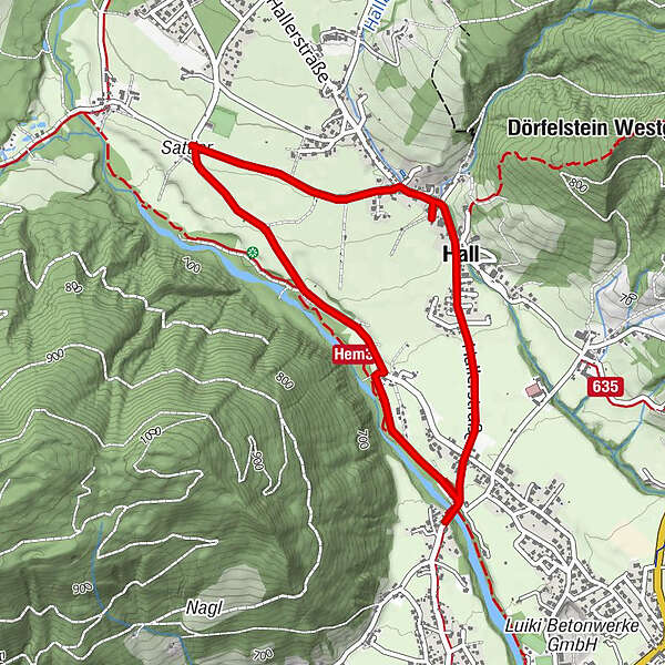
- Rute
-
Kirchenwirt3,1 kmHall3,2 km
- Bedste sæson
-
janfebmaraprmajjunjulaugsepoktnovdec
- Højeste punkt
- 691 m
- Destination
-
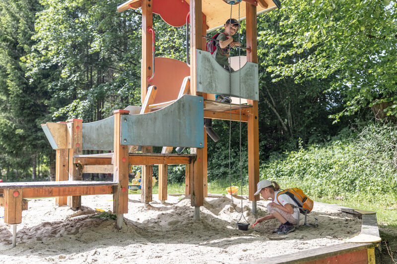
Freizeitpark Hall
- Højdeprofil
-


-

-
ForfatterRundvisningen Haller salt nature trail bruges af outdooractive.com forudsat.
GPS Downloads


Generel information
Forfriskningsstop
Kulturel/Historisk
Flora
Lovende
Flere ture i regionerne
-
Gesäuse
2224
-
Steyr und die Nationalpark Region
1371
-
Admont
293