© TV Hochsteiermark - Karin Ziegler

© TV Hochsteiermark - Karin Ziegler

© TV Hochsteiermark - Karin Ziegler

© TV Hochsteiermark - Karin Ziegler

- Kort beskrivelse
-
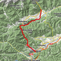
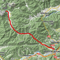
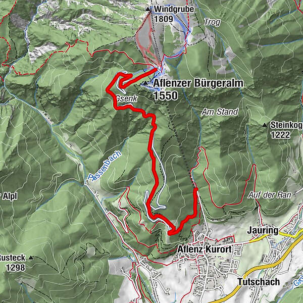
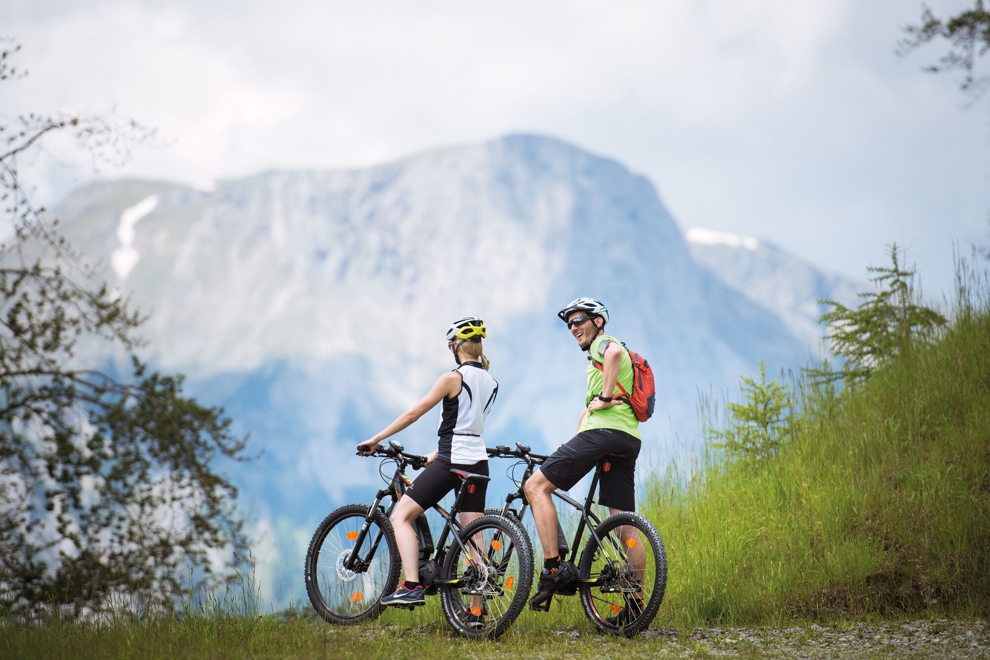
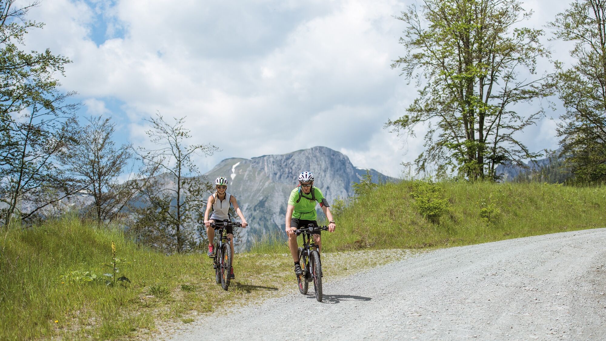
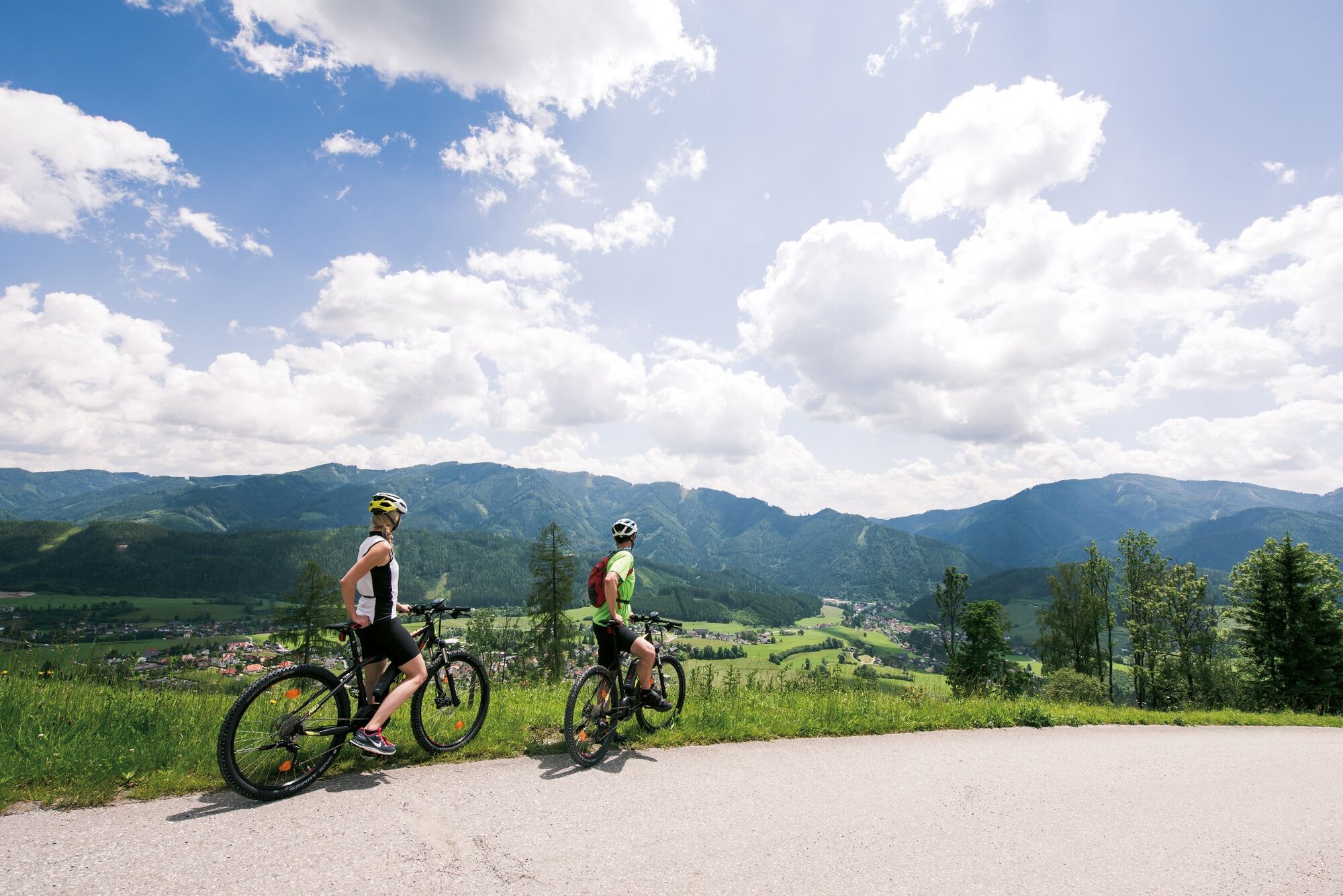
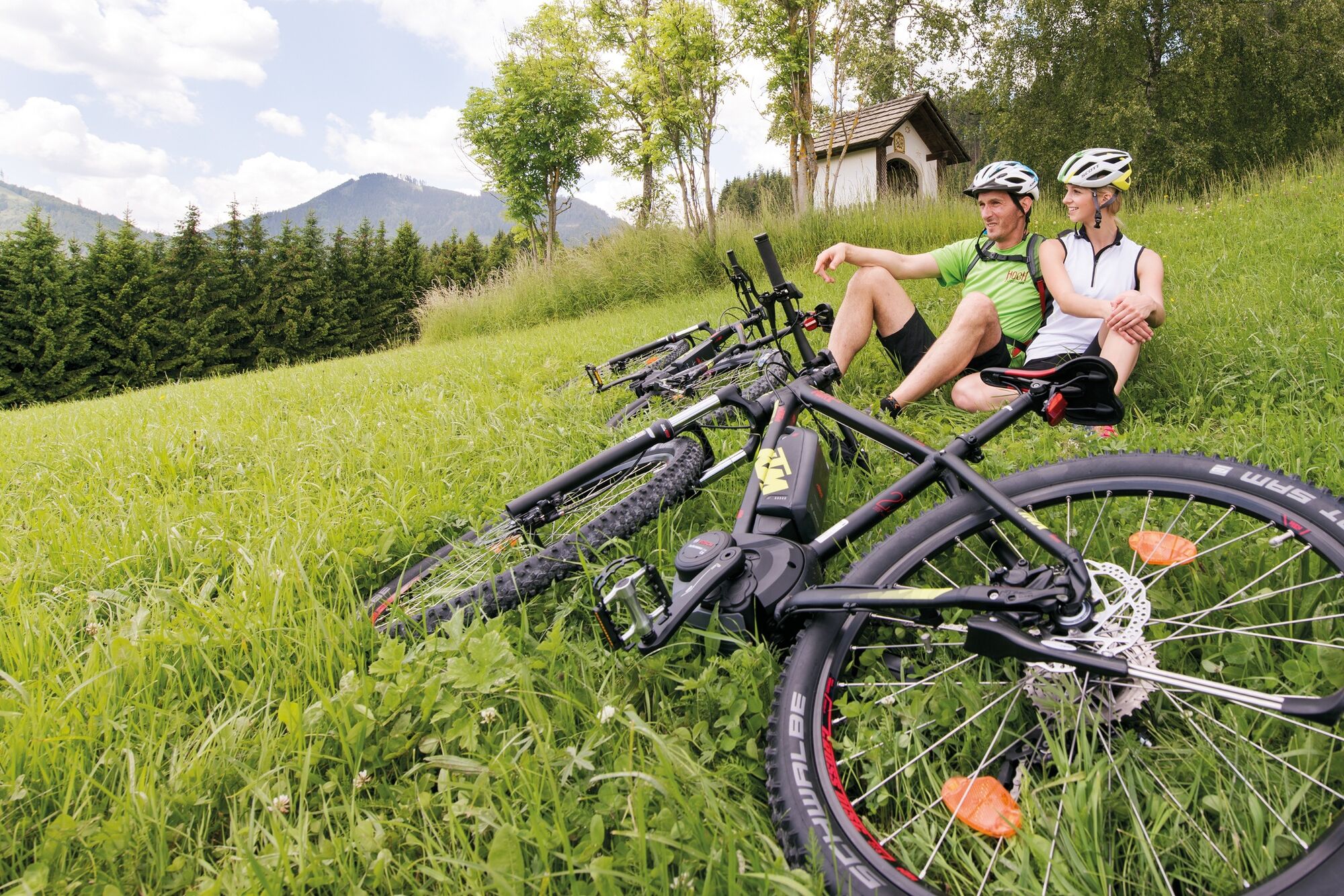
Popular mountain bike route via the panorama road (toll road - but toll-free for cyclists and mountain bikers!) to the extensive alpine pasture area of the Bürgeralm.
- Sværhedsgrad
-
medium
- Evaluering
-
- Rute
-
Liftbeisl0,0 kmPierergut1,2 kmEisentalbrunnen5,2 km
- Bedste sæson
-
janfebmaraprmajjunjulaugsepoktnovdec
- Højeste punkt
- 1.528 m
- Destination
-
Aflenzer Bürgeralm (1550 m)
- Højdeprofil
-

- Forfatter
-
Rundvisningen Gravel Bike-Tour auf die Aflenzer Bürgeralm bruges af outdooractive.com forudsat.
GPS Downloads


Generel information
Forfriskningsstop
Flora
Lovende
Flere ture i regionerne