© Verein Hohentauern - Herbert Raffalt

© Damira Slodnjak

© Damira Slodnjak

- Kort beskrivelse
-
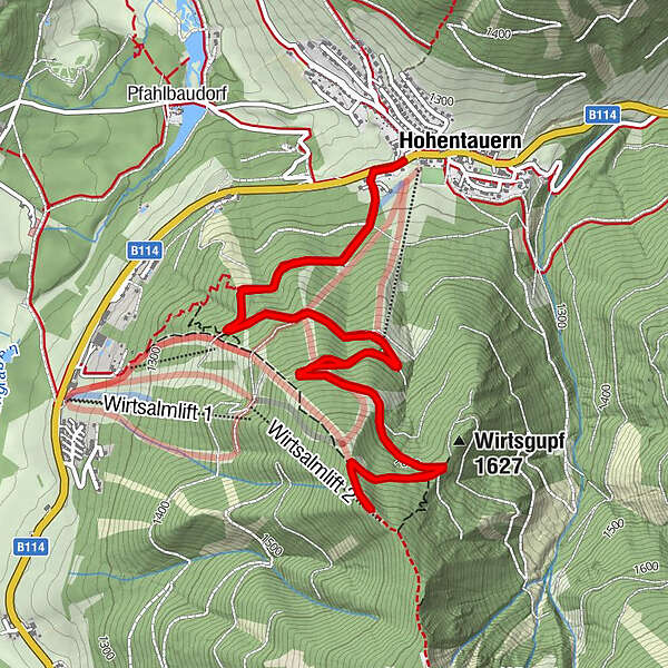
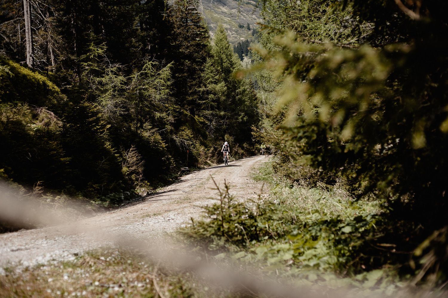
On forest roads (ski trails in winter) you always cross the ski slopes and after a continuous ascent of 3.7 km you reach the Wichtelhütte in the Murtal region, which is not open in summer.
- Sværhedsgrad
-
medium
- Evaluering
-
- Rute
-
Triebener Tauern (1.274 m)0,0 kmWinter Bergbuffet3,7 kmHimmlisches Platzerl - Fotopoint5,4 kmTriebener Tauern (1.274 m)7,4 kmHohentauern7,5 km
- Bedste sæson
-
janfebmaraprmajjunjulaugsepoktnovdec
- Højeste punkt
- 1.712 m
- Destination
-
Wichtelhütte
- Højdeprofil
-


-

-
ForfatterRundvisningen Tour H3 - MTB - Wichtelhütte bruges af outdooractive.com forudsat.
GPS Downloads


Generel information
Lovende
Flere ture i regionerne
-
Gesäuse
151
-
Grimming - Donnersbachtal
60
-
Hohentauern
7