


- Kort beskrivelse
-
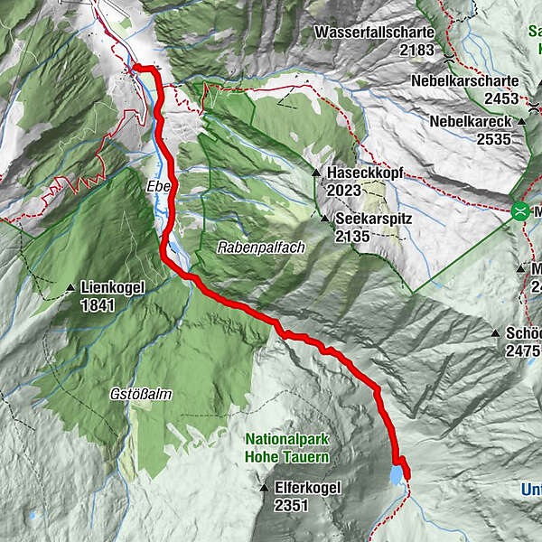
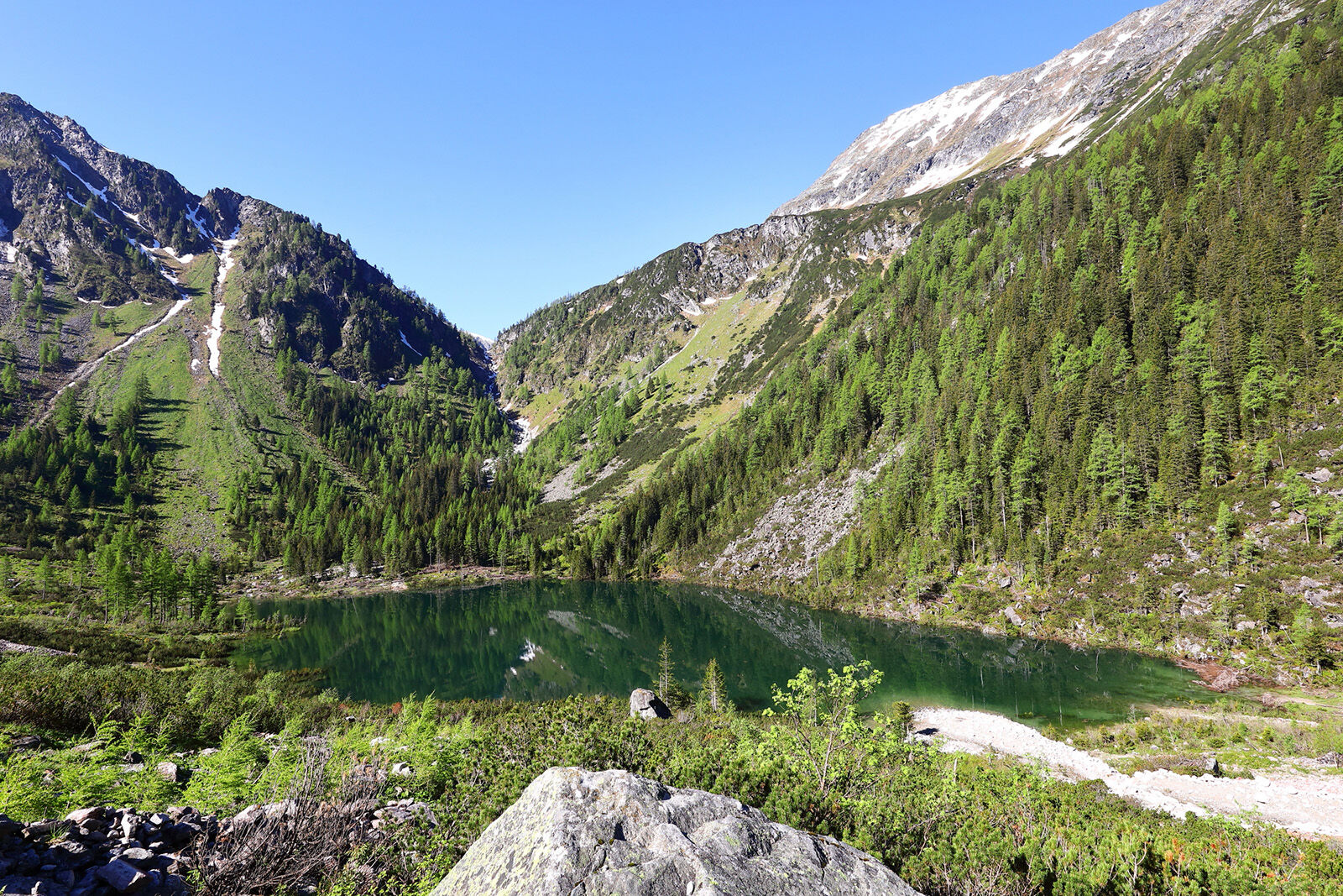
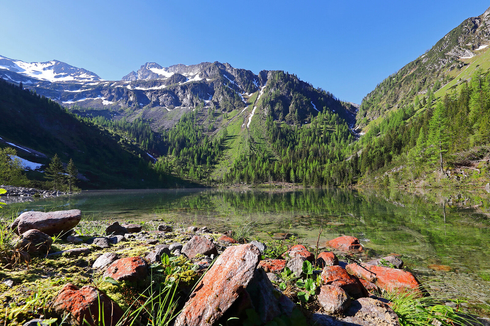
Hiking tour to the Schödersee, which is a periodical mountain lake.
- Sværhedsgrad
-
medium
- Evaluering
-
- Bedste sæson
-
janfebmaraprmajjunjulaugsepoktnovdec
- Højeste punkt
- 1.440 m
- Destination
-
Schödersee
- Højdeprofil
-

- Forfatter
-
Rundvisningen Hüttschlag: Schödersee bruges af outdooractive.com forudsat.
GPS Downloads


Generel information
Forfriskningsstop
Insider-tip
Flora
Flere ture i regionerne
-
Katschberg Lieser-Maltatal
2571
-
Großarltal
2154
-
Hüttschlag
839


