

© Wagrain-Kleinarl Tourismus/Eduardo Gellner - Eduardo Gellner
© Wagrain-Kleinarl Tourismus/Eduardo Gellner - Eduardo Gellner

© Wagrain-Kleinarl Tourismus/Eduardo Gellner - Eduardo Gellner

- Kort beskrivelse
-
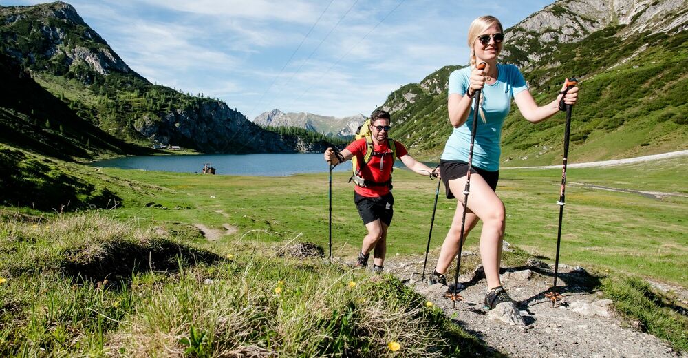
The hike to the lake is pleasantly shadowy and leads over wide hiking trail that get a bit steeper at times.
- Sværhedsgrad
-
medium
- Evaluering
-
- Rute
-
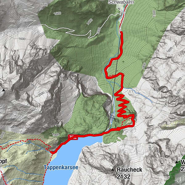
Tappenkarsee Alm4,2 km
- Bedste sæson
-
janfebmaraprmajjunjulaugsepoktnovdec
- Højeste punkt
- 1.767 m
- Destination
-
Schwabalm parking lot in Kleinarl
- Højdeprofil
-


-

-
ForfatterRundvisningen Tappenkarsee bruges af outdooractive.com forudsat.
GPS Downloads


Generel information
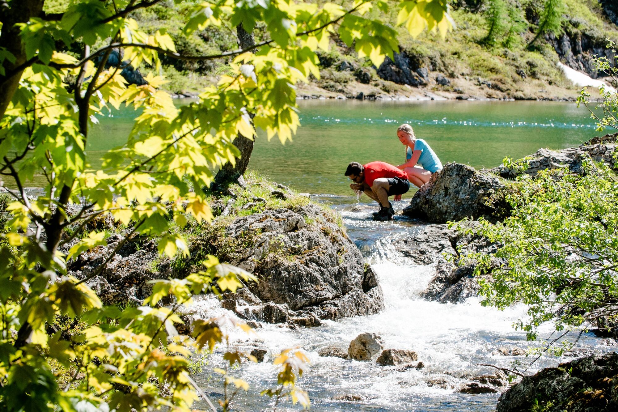
Forfriskningsstop
Flere ture i regionerne


