

© Piesendorf Niedernsill - Harry Liebmann

© Tourismusverband Piesendorf Niedernsill - Harry Liebmann

© Tourismusverband Piesendorf Niedernsill - Ferienregion Nationalpark Hohe Tauern - Harry Liebmann

© Tourismusverband Piesendorf Niedernsill - Harry Liebmann
- Kort beskrivelse
-
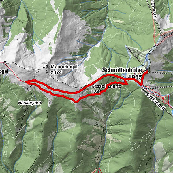
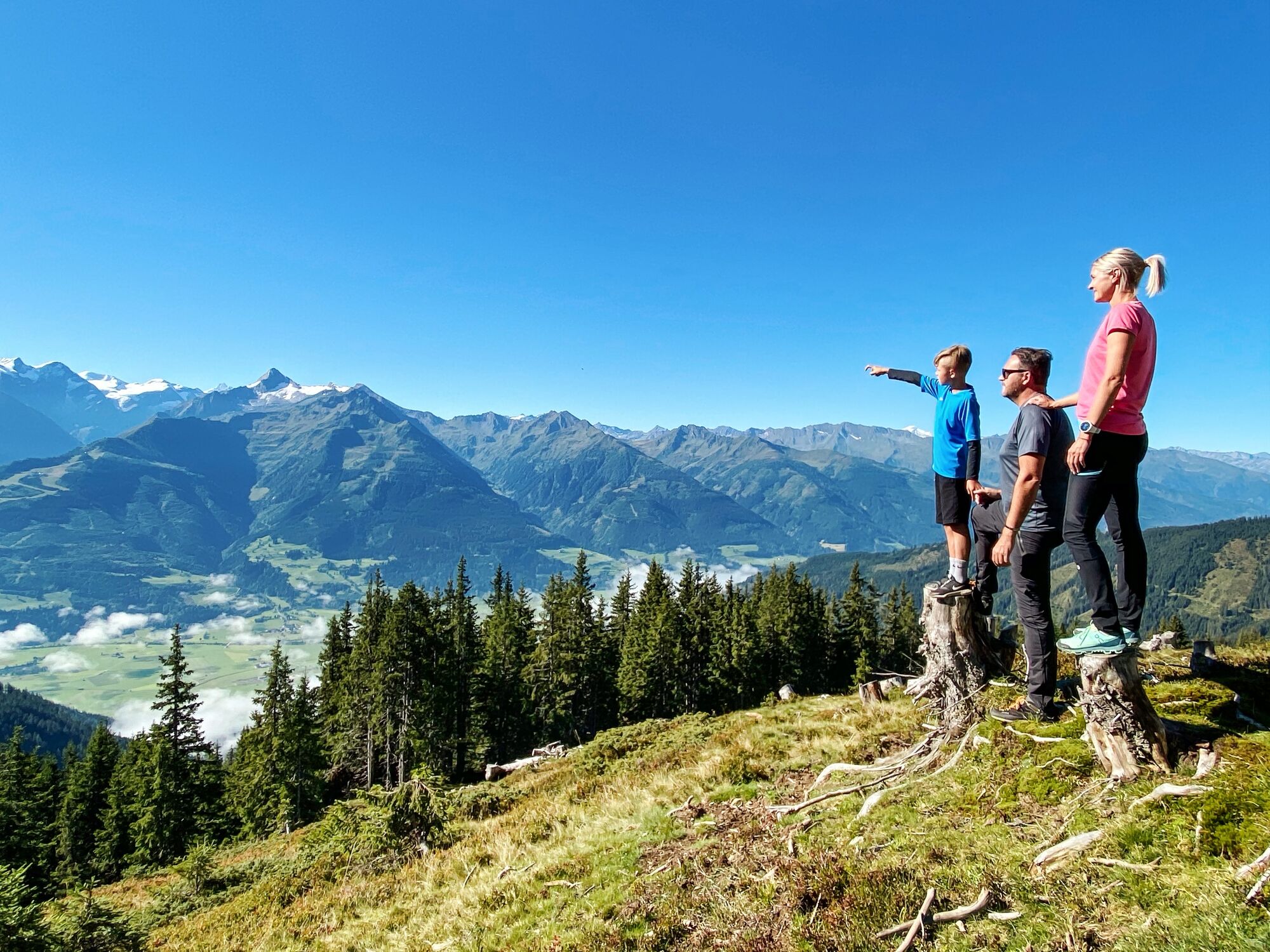
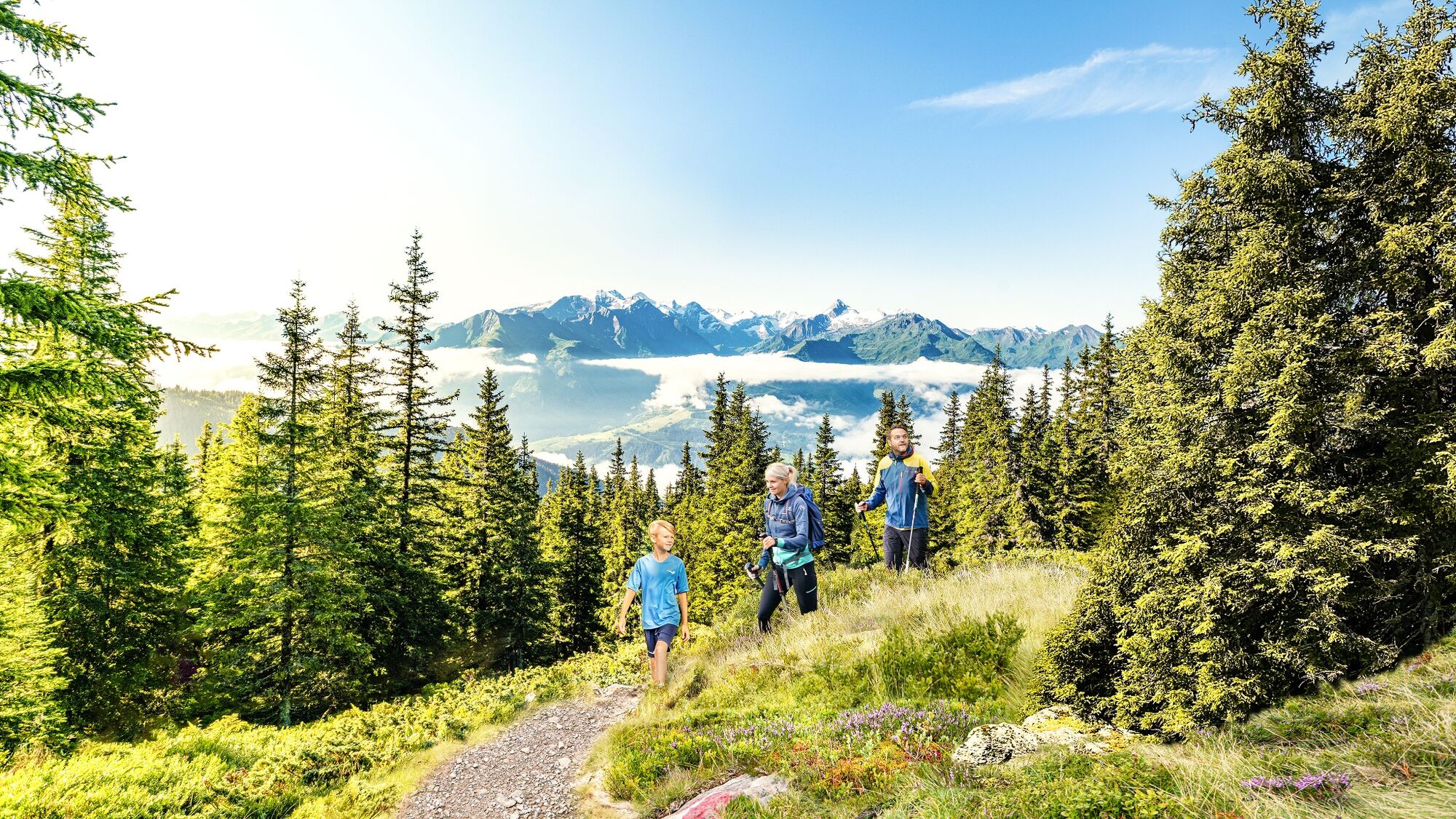
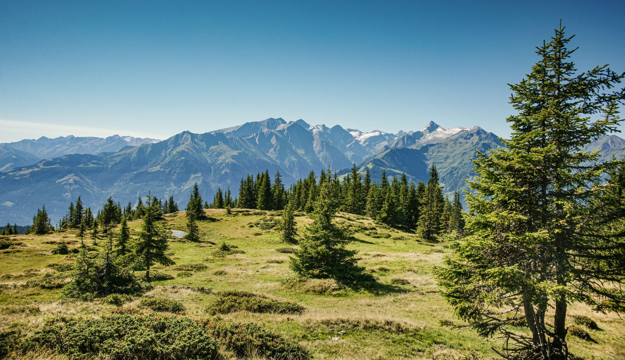
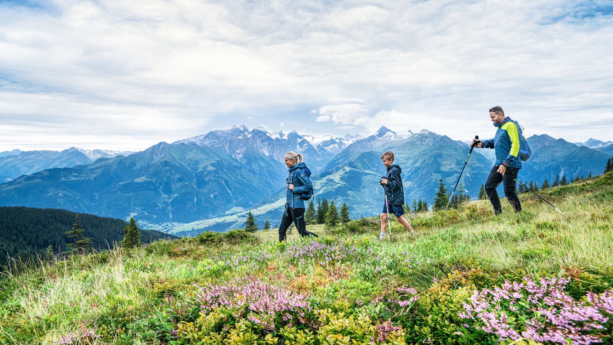
High-altitude circular trail, partly along the Pinzgauer Spaziergang trail with unique views of the surrounding mountains.
- Sværhedsgrad
-
medium
- Evaluering
-
- Rute
-
Berghotel SchmittenhöheElisabeth-Kapelle0,1 kmEderhütte0,9 kmKettingtörl (1.780 m)1,0 kmKettingkopf (1.865 m)1,5 kmKesselscharte (1.847 m)2,3 kmHochsonnbergalm4,6 kmPinzgauer Hütte6,9 kmKettingtörl (1.780 m)8,0 kmEderhütte8,1 kmElisabeth-Kapelle9,0 kmBerghotel Schmittenhöhe9,0 kmSchmittenhöhe (1.965 m)9,1 km
- Bedste sæson
-
janfebmaraprmajjunjulaugsepoktnovdec
- Højeste punkt
- 1.947 m
- Destination
-
Schmittenhöhe Zell am See
- Højdeprofil
-

- Forfatter
-
Rundvisningen Schmittenhöhe - Hochsonnbergalm - Pinzgauer Hütte bruges af outdooractive.com forudsat.
GPS Downloads


Generel information
Forfriskningsstop
Flora
Fauna
Lovende
Flere ture i regionerne
-
Zell am See - Kaprun
1504
-
Viehhofen
505


