© Zell am See-Kaprun Tourismus GmbH - Birgit Arnold

© Zell am See-Kaprun Tourismus GmbH - Birgit Arnold

© Zell am See-Kaprun Tourismus GmbH - Birgit Arnold

© Zell am See-Kaprun Tourismus GmbH - Birgit Arnold

© Zell am See-Kaprun Tourismus GmbH - Birgit Arnold

- Kort beskrivelse
-
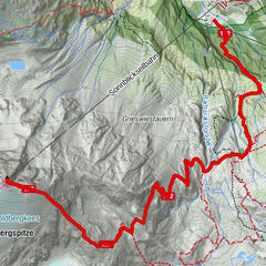
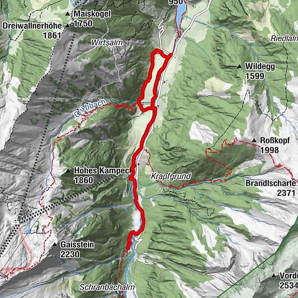
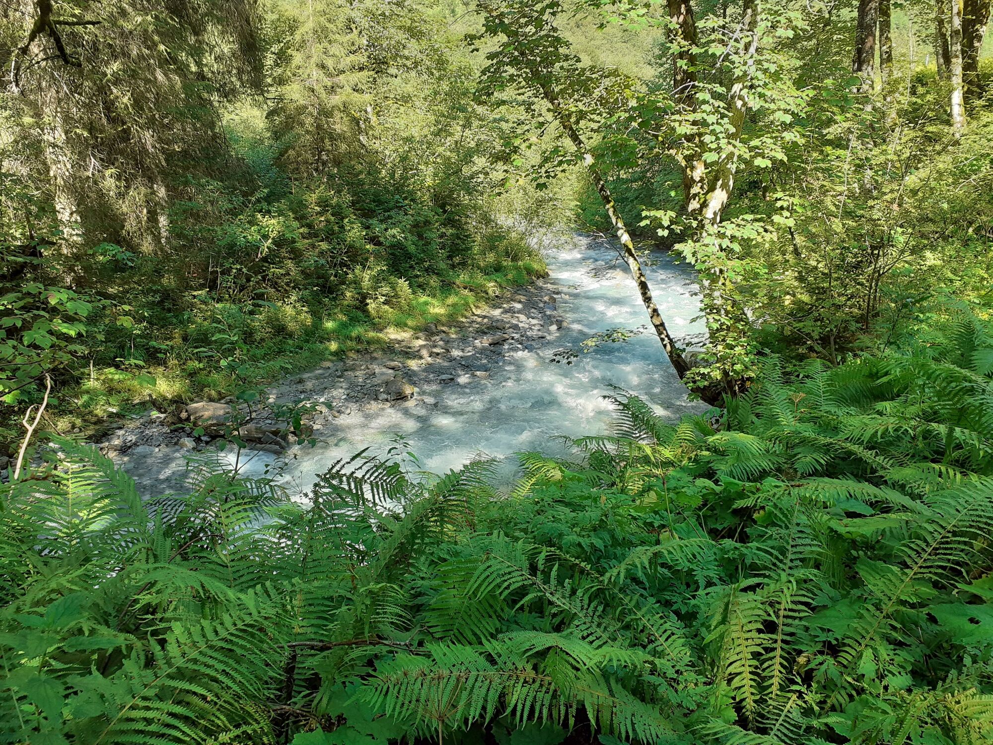
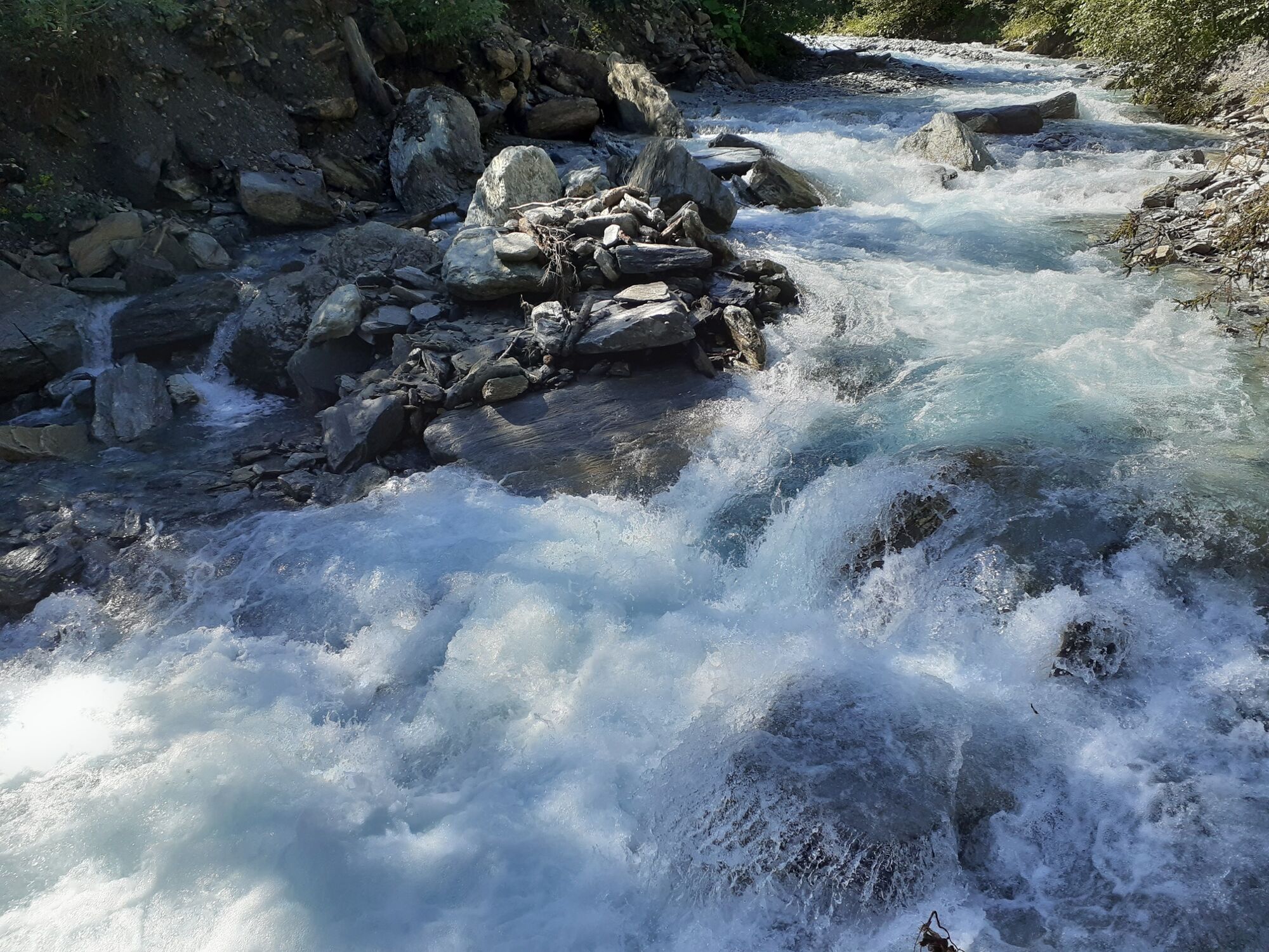
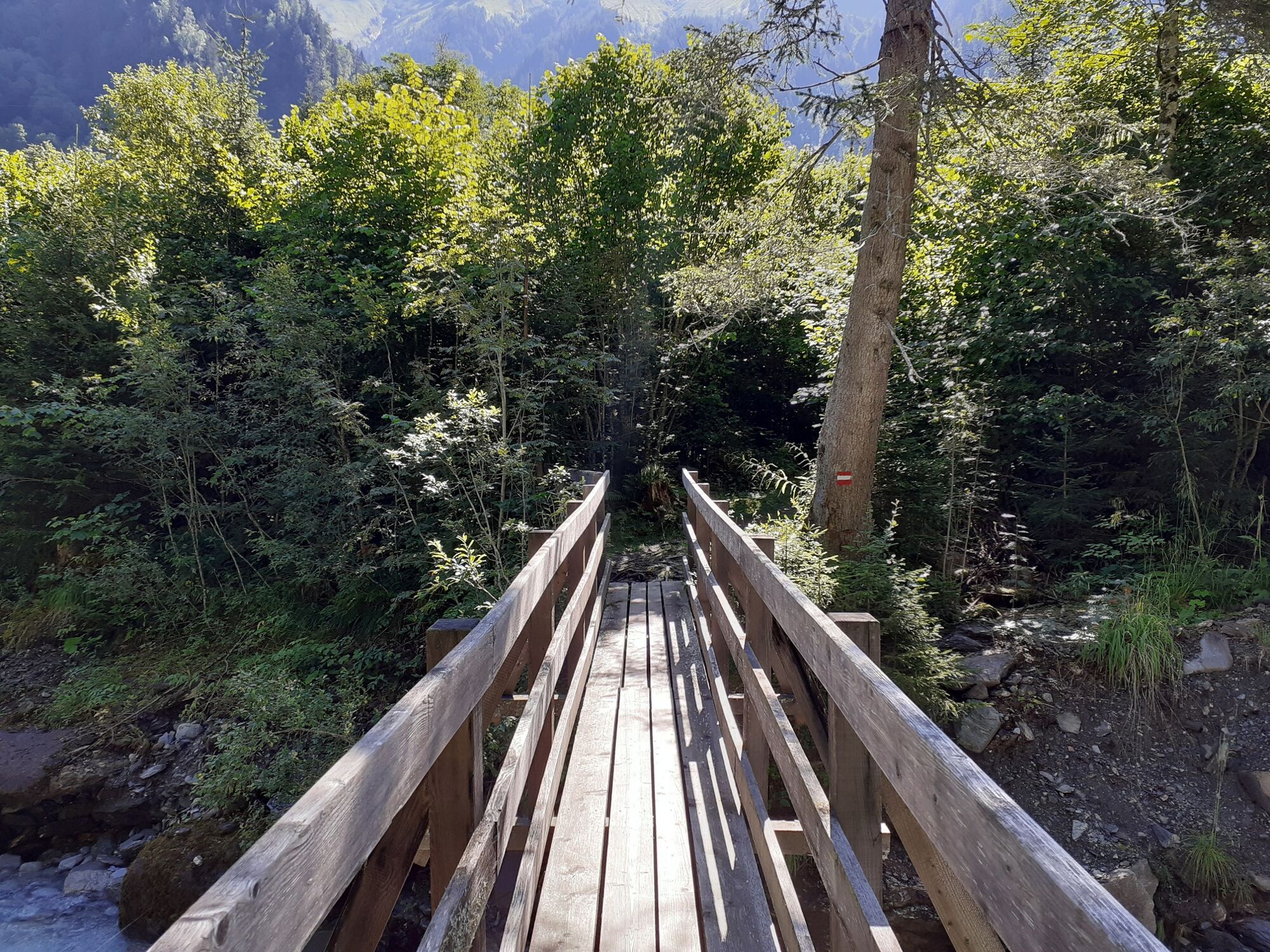
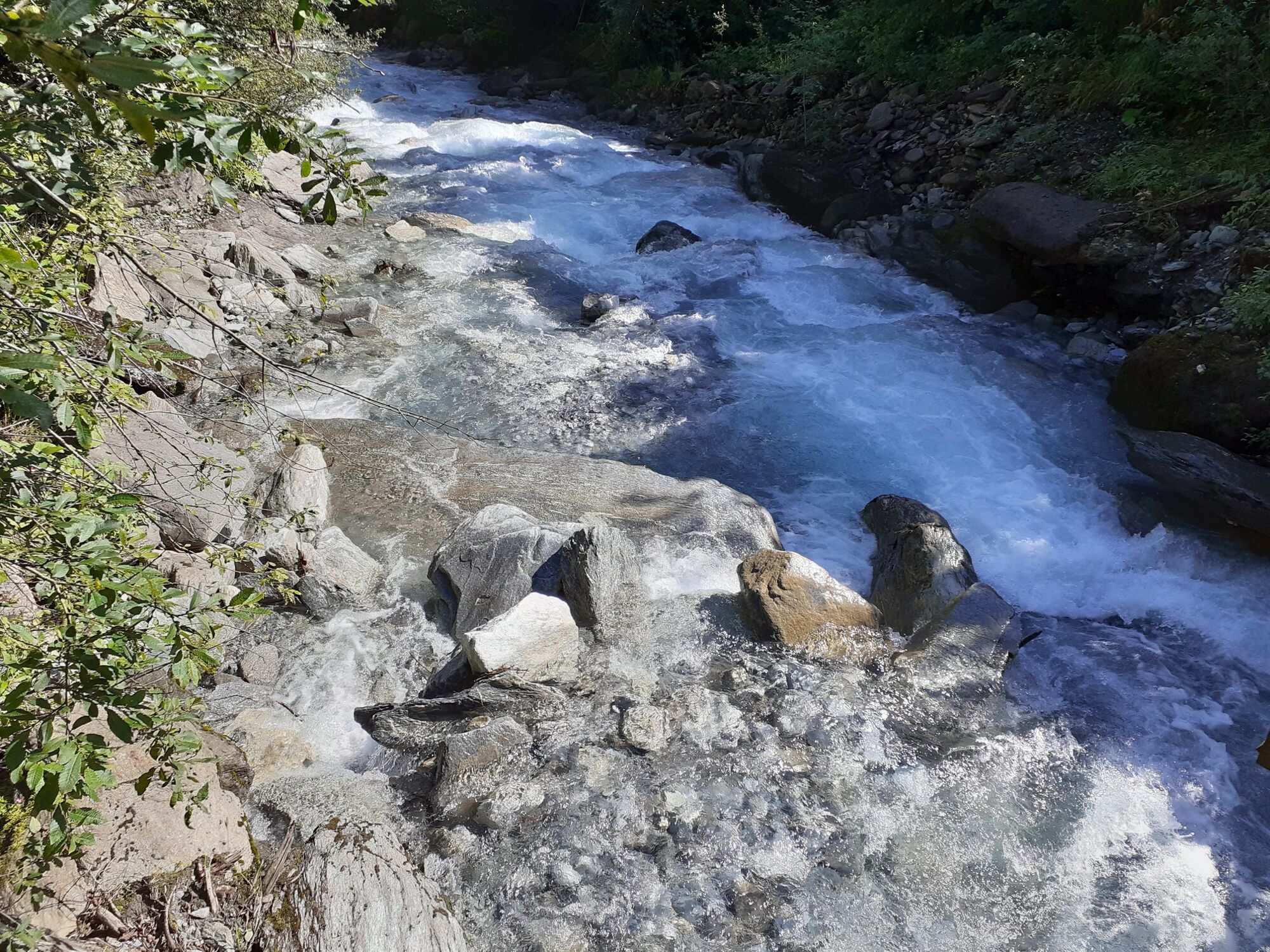
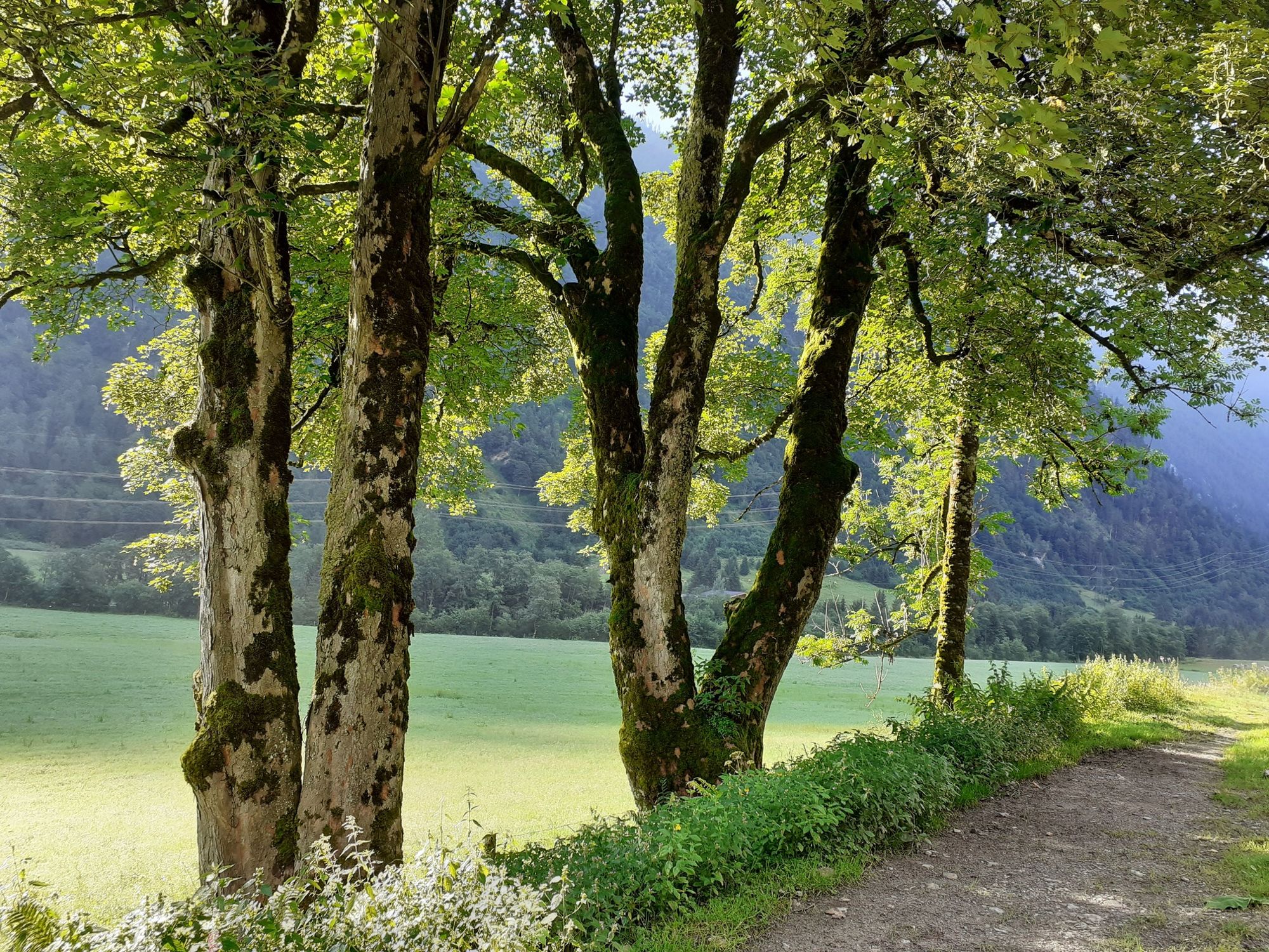
Beautiful valley end tour along the Kapruner Ache with a waterfall view (Kesselfall) at the end.
- Sværhedsgrad
-
let
- Evaluering
-
- Rute
-
kitz900m4,8 kmGletscherjet I (911 m)4,8 km
- Bedste sæson
-
janfebmaraprmajjunjulaugsepoktnovdec
- Højeste punkt
- 1.032 m
- Destination
-
Kesselfall. Alternatively, return using bus no. 660
- Højdeprofil
-

-

-
ForfatterRundvisningen Wüstlauweg to Alpenhaus Kesselfall bruges af outdooractive.com forudsat.
GPS Downloads


Generel information
Forfriskningsstop
Flere ture i regionerne