


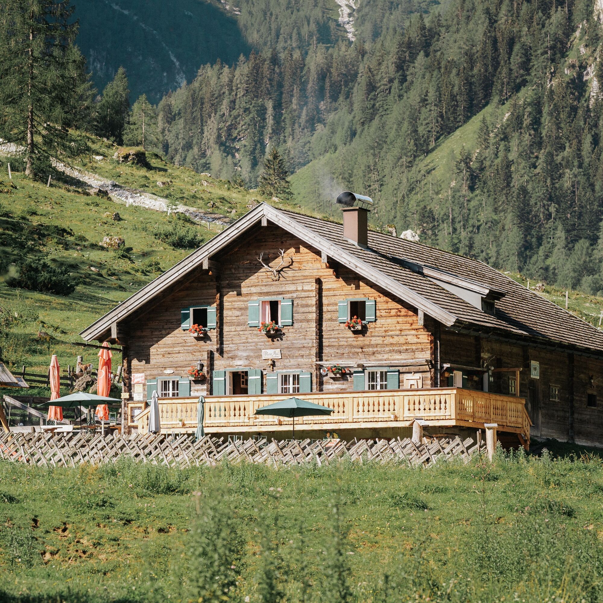
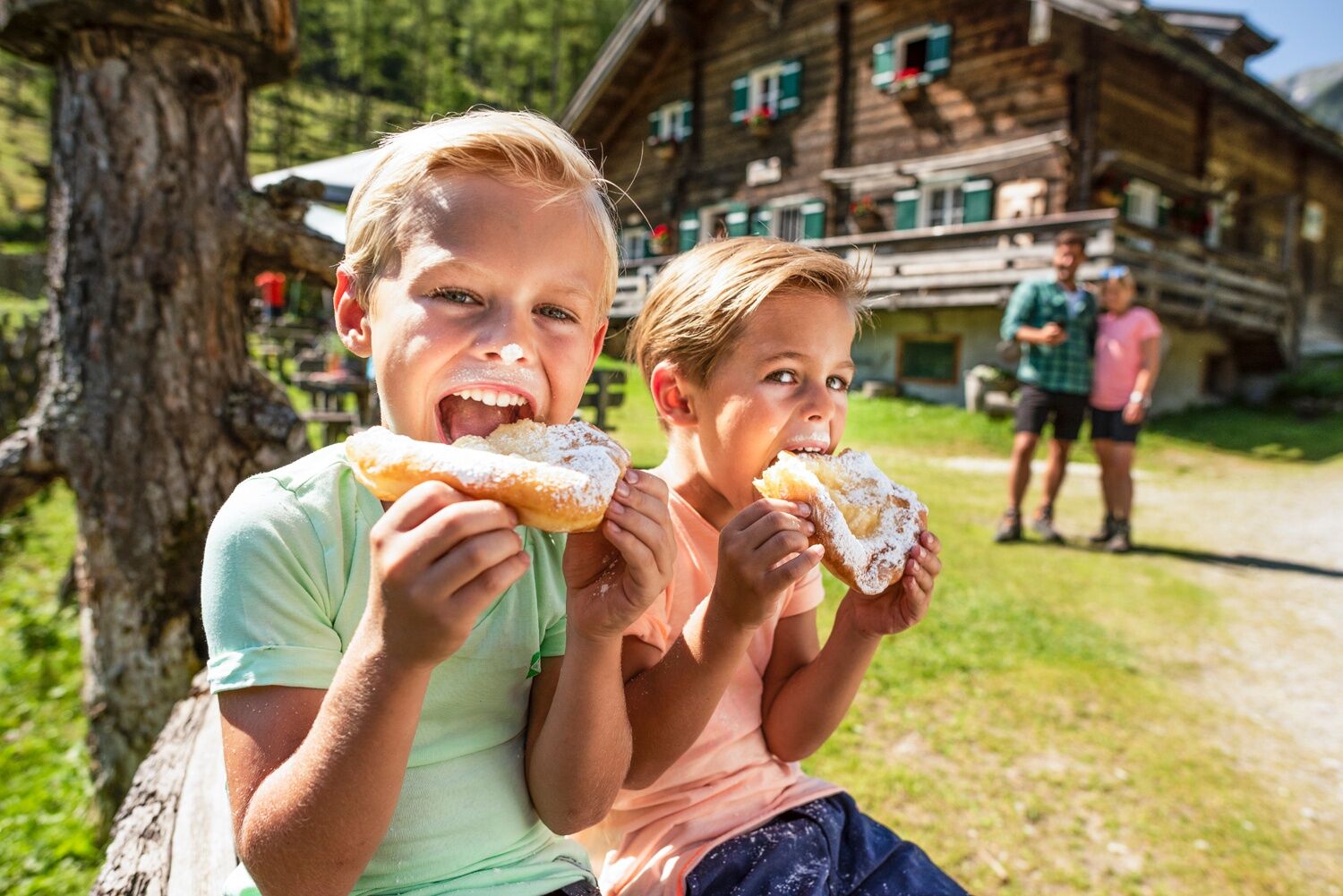
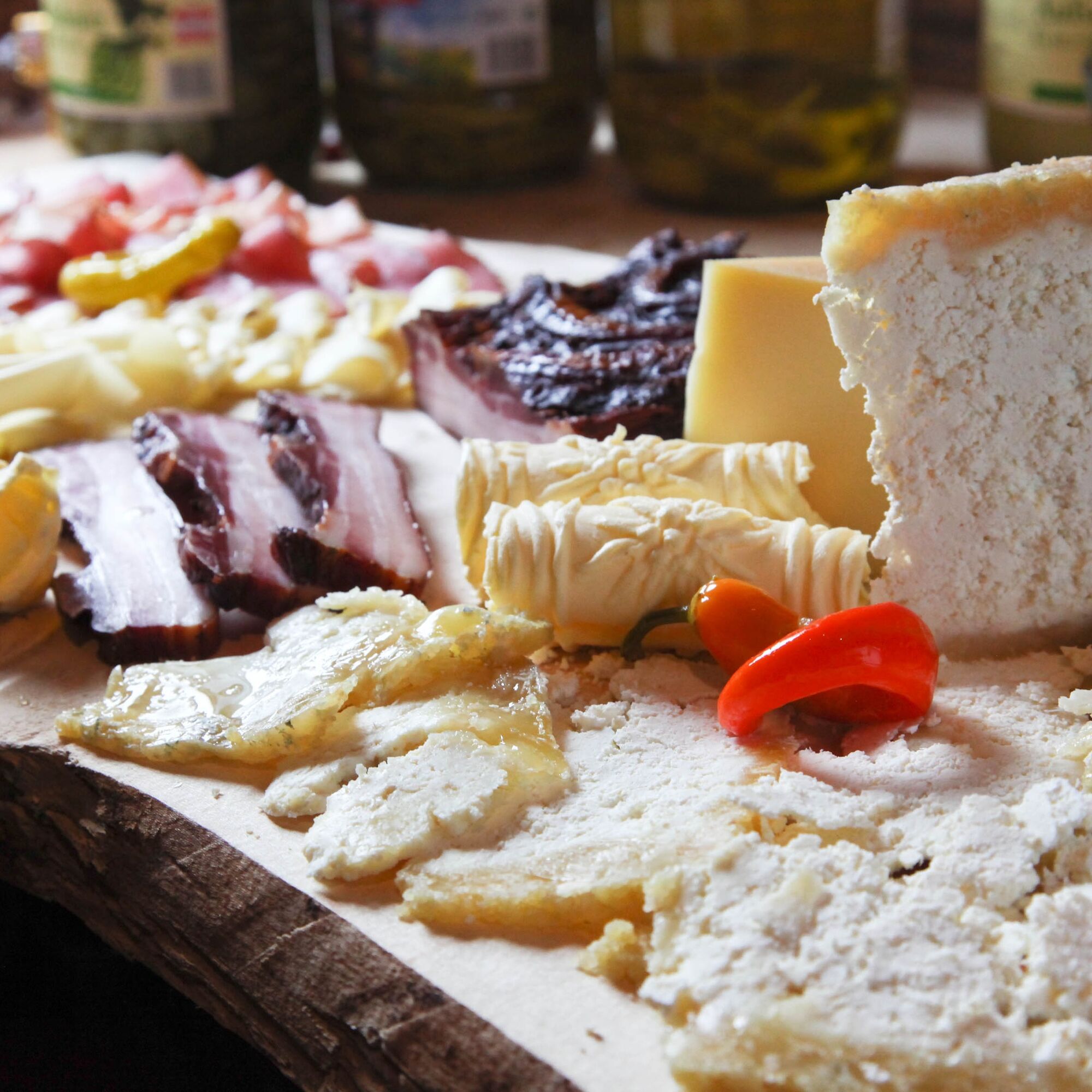
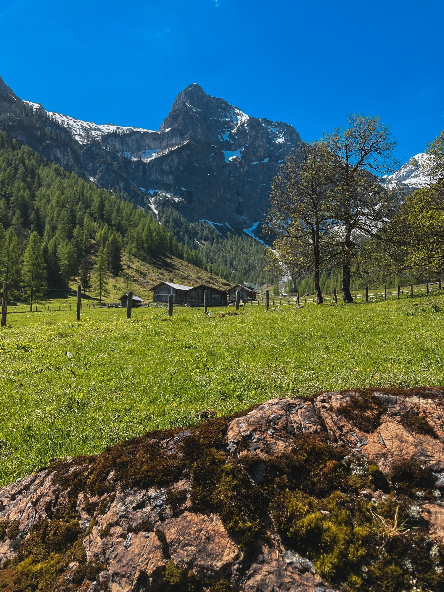
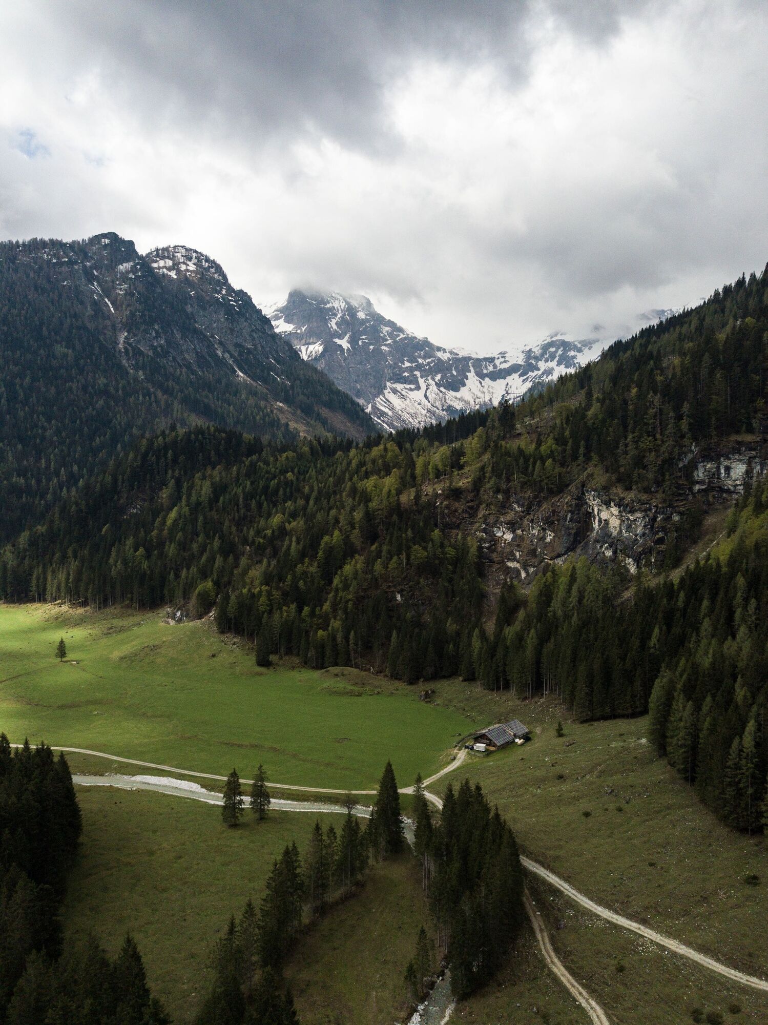
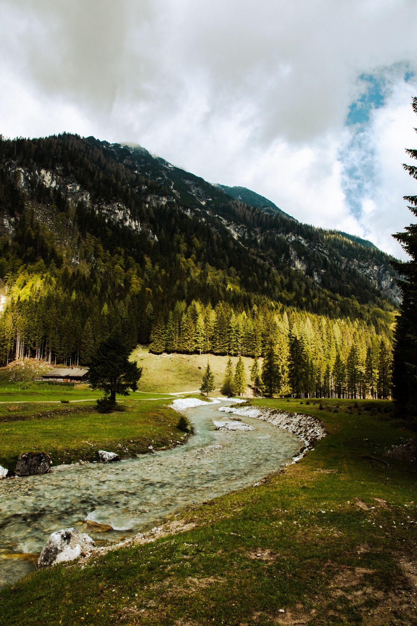
Alpine idyll at the foot of the Faulkogel. In Flachauwinkl, you will find one of the most beautiful alpine valleys in the Salzburg region. Along a crystal-clear mountain stream on a not too steep path,...
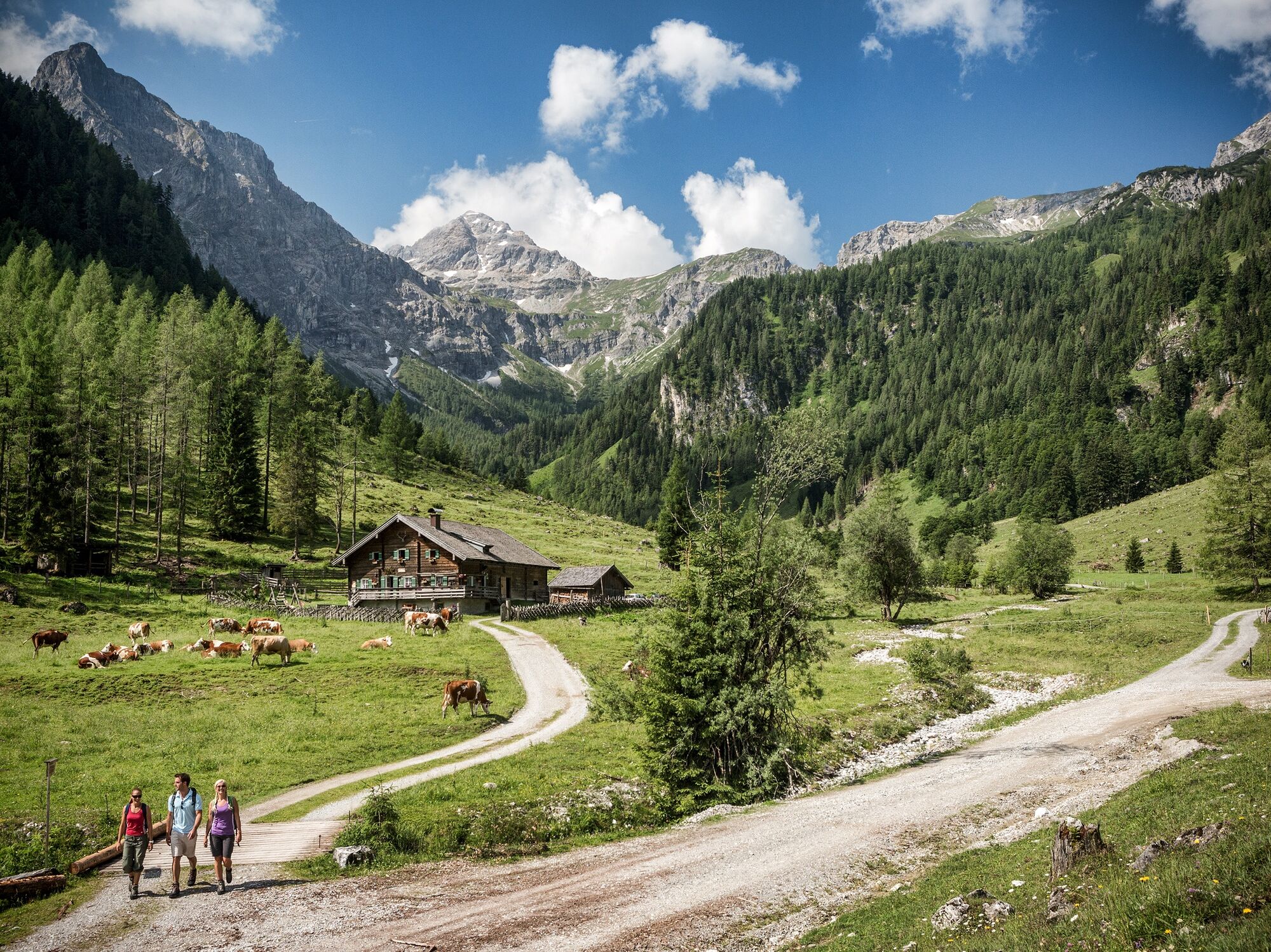
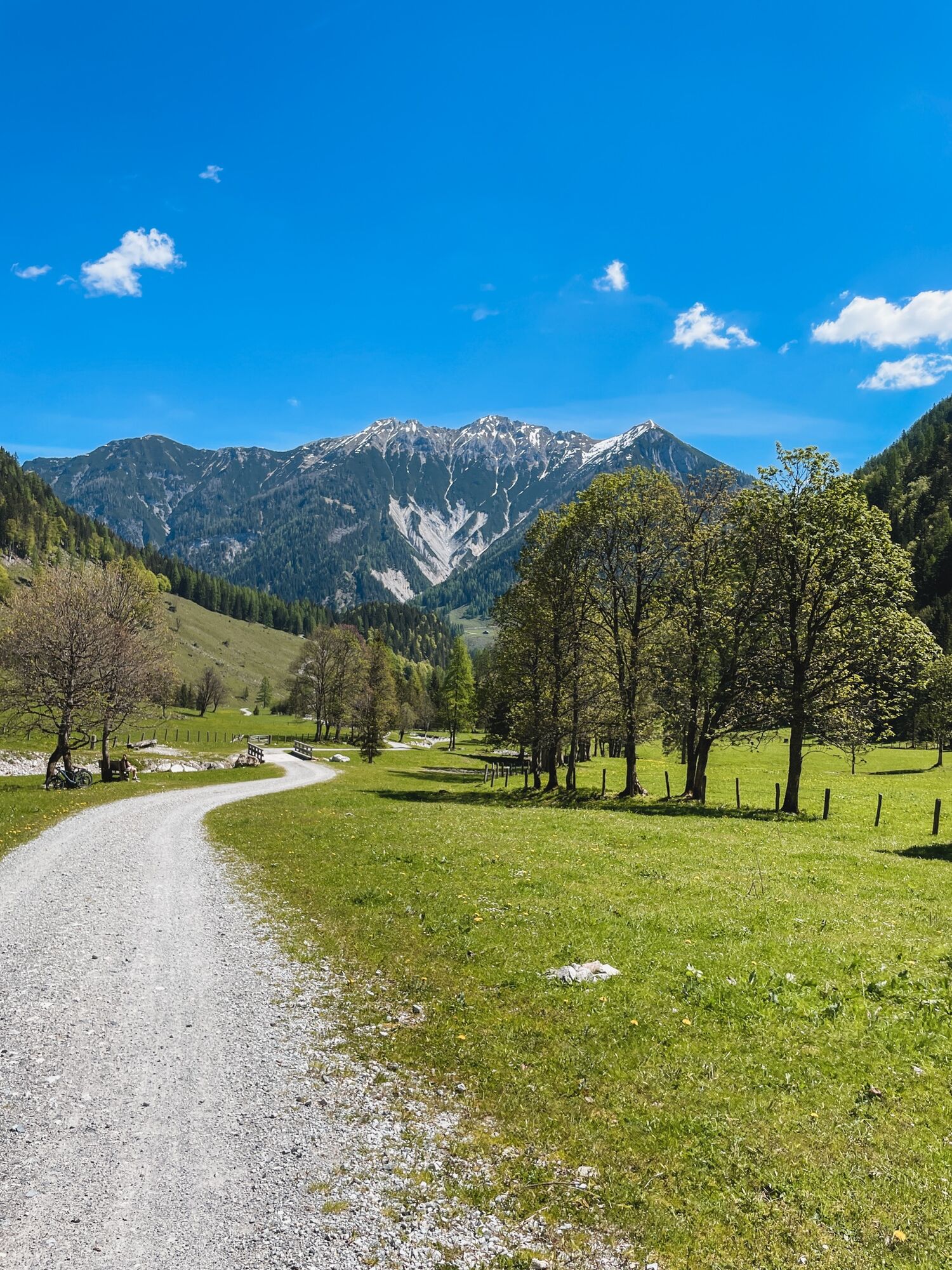
Alpine idyll at the foot of the Faulkogel. In Flachauwinkl, you will find one of the most beautiful alpine valleys in the Salzburg region. Along a crystal-clear mountain stream on a not too steep path, you will reach, through a charming landscape of forest and alpine meadows, the idyllic alpine huts where homemade delicacies are served.
Refreshment options: Prechtlhütte, Ennslehenalm

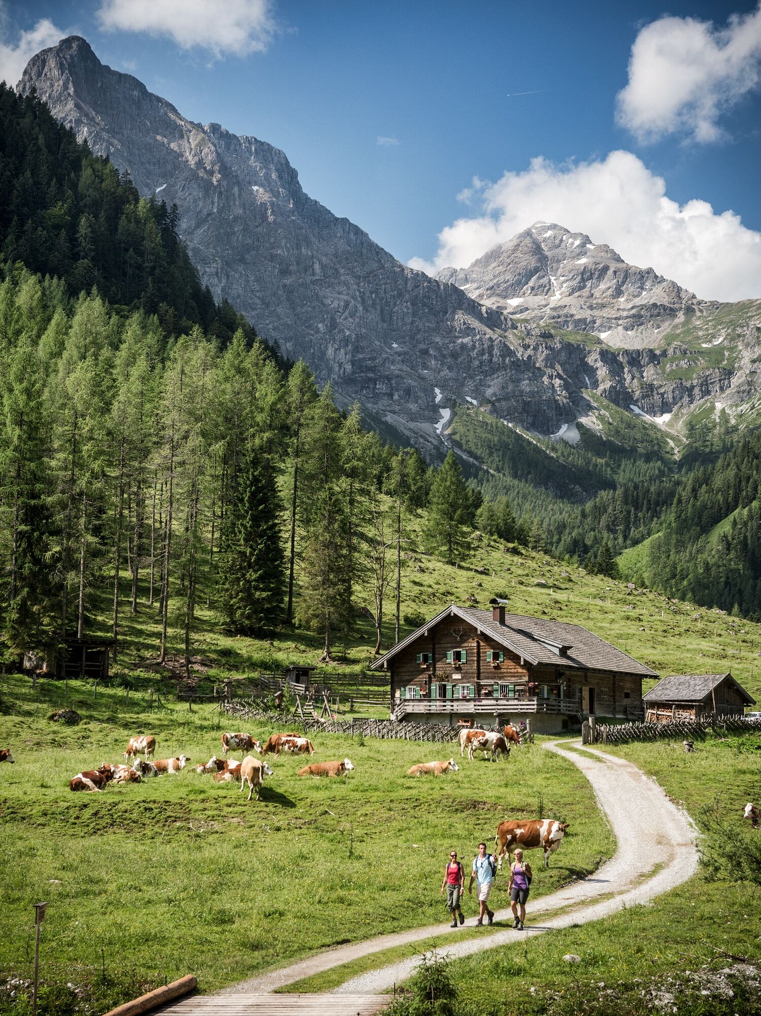
Junction Marbachalm in Flachauwinkl - Trail No. 730 - Front Marbachalm - Rear Marbachalm - return on the same route.
Tip: From the Rear Marbachalm, hikes to Ursprungalm (not operated) and further to the guesthouse plateau with Neukarsee (2065 m), Faulkogel (2654 m), and Mosermandl (2680 m) are possible.
Ja
Ja
Ja
Sneakers are completely sufficient on the way to the alpine pastures.
For the connecting hikes towards the guesthouse plateau, good footwear (mountain boots) is required; optionally, hiking poles can be used. Sufficient liquids should be taken along.
Surefootedness is necessary on the connecting hikes.
Planning & preparation: A precise route planning is recommended before every mountain hike. Information from locals such as mountain guides or hut keepers as well as hiking maps will help you.
Check weather forecast: A must-do before every hike. The weather can change surprisingly fast in the mountains. Observe current weather conditions at: www.zamg.ac.at.
Important tips:
do not overestimate yourself manage your strength and endurance well assess surefootedness and freedom from dizziness do not dislodge stones turn back in time if the weather changes
Mountain rescue number: The phone number 140 is the emergency number for alpine accidents in Austria
From Flachau via Flachauwinklstraße to the parking lot at the junction to the Marbach valley
Sportwelt bus to Flachauwinkl Marbachalm
From June to September, the Sportwelt bus is the ideal shuttle and return service for your hiking tours in the entire region (Flachau, Wagrain-Kleinarl, St. Johann-Alpendorf, Radstadt, Altenmarkt-Zauchensee, Eben, Filzmoos, Obertauern, Großarl & Hüttschlag).
With the "Guest Mobility Ticket," you can use the Sportwelt bus for free. You receive the ticket from your host.
More information can be found at: https://www.flachau.com/de/info/vor-ort/sportweltbus.html
Other bus connections: www.salzburg-verkehr.at
Parking lot at the junction of Marbach valley
More about hiking in Flachau can be found at: https://www.flachau.com/sommer/wandern/
Local weather information: https://www.flachau.com/live/ or www.zamg.ac.at
The Marbach valley is a popular meeting place to have a cozy picnic around the clear mountain stream. Especially on hot days, the trees provide a soothing shade and the stream offers necessary cooling.
Populære ture i området
-
4.5
Mosermandl Windischscharte, Salzburger Land/Österreich
tungVandring 14.6 km -
4.2
Ennskraxn (2410m)
tungVandring 14.7 km -
4.3
Glöcknerin
tungVandring 5.60 km -
4.6
Ski route Lackenkogel
MediumSkitour 7.82 km -
4.2
Großarl: Unterwandalm - Karseggalm - Breitenebenalm
MediumVandring 5.93 km -
5.0
Rundwanderweg von der Fallhausalm und Vögeialm übers Klamml zur Oberhütte am See
MediumVandring 10 km -
4.4
Ski tour Liebeseck
tungSkitour 14.1 km -
4.5
Penkkopf via Kleinarler hut from Kleinarl
MediumSkitour 4.35 km -
4.8
Obertauern to the Johannes Waterfall
MediumVandring 9.39 km -
5.0
Twengsee
MediumVandring 9.66 km
Vandring og sporing


Gå ikke glip af tilbud og inspiration til din næste ferie
Din e-mailadresse er blevet tilføjet til mailinglisten.