Forest road to the Weisssteinalm

Logo Forest road to the Weisssteinalm
Turnédatoer
8,55km
773 - 1.543m
Distanz
756hm
20hm
Opstigning
02:55h
 
Varighed
Kort beskrivelse

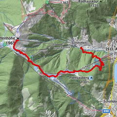
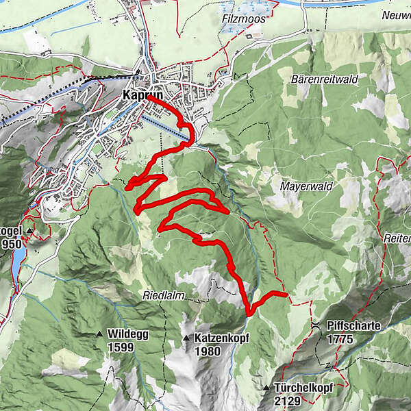
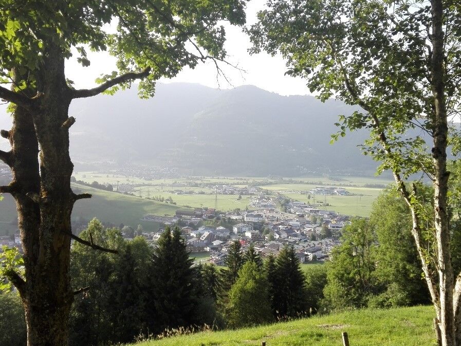
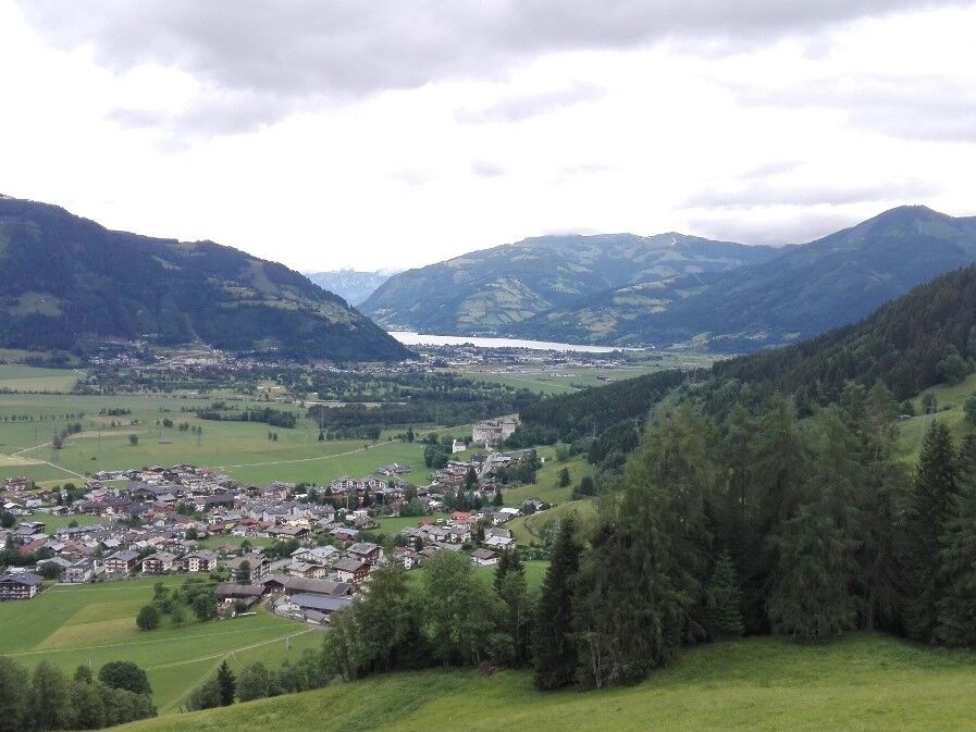
Through beautiful mixed forest with a view of Kaprun, the castle and Lake Zell.

Sværhedsgrad
let
Evaluering
Teknologi
Kondition
Landskab
Erfaring
Rute
Kaprun
Lechnerdörfl
0,4 km

Bedste sæson
jan
feb
mar
apr
maj
jun
jul
aug
sep
okt
nov
dec
Højeste punkt
1.543 m
Destination

to the Imbachsteig 723

Højdeprofil

Forfatter
Rundvisningen Forest road to the Weisssteinalm bruges af outdooractive.com forudsat.

Samlet vurdering

5

0

%

4

0

%

3

0

%

2

0

%

1

0

%

Fejl
Der er opstået en fejl. Prøv venligst igen.
Tak for din anmeldelse

Bedømmelsen blev slettet

GPS Downloads
  • GPX GPS Exchange Format (XML)
  • KML Google Earth, Google Maps
QR-downloadkoder til mobiltelefoner

Generel information

Lovende

Populære ture i området

Rundwanderung Sonnkogel - Schmittenhöhe

medium
14,82km | 1100hm | 04:00h

Saalachtaler Höhenweg EAST (Asitz -Biberg)

medium
13,07km | 299hm | 04:30h

Schmittenhöhe-Abstieg nach Zell

let
8,4km | 22hm | 02:30h

Pfarrachhöhe ab Gries

medium
11,14km | 1196hm | 05:24h