© Salzburger Saalachtal Tourismus - Salzburger Saalachtal

© Alpenverein Zell am See - Bernhard Gritsch
- Kort beskrivelse
-
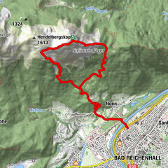
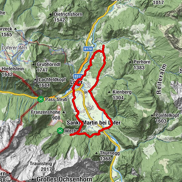
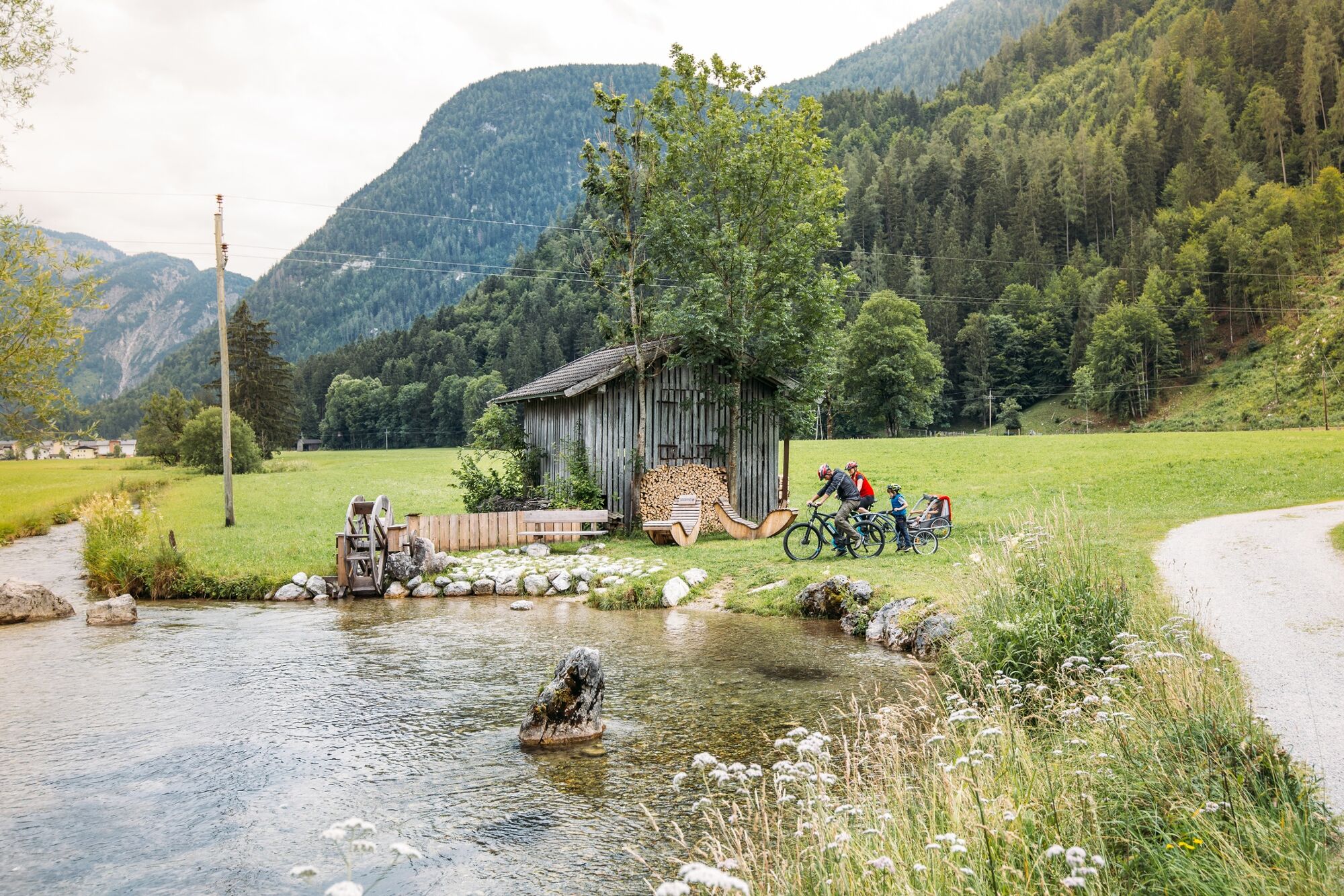
Hiking on the route of the gorges: 1st hiking day
On old pilgrims' paths to Maria Kirchental to Au and back to Lofer.
- Sværhedsgrad
-
let
- Evaluering
-
- Rute
-
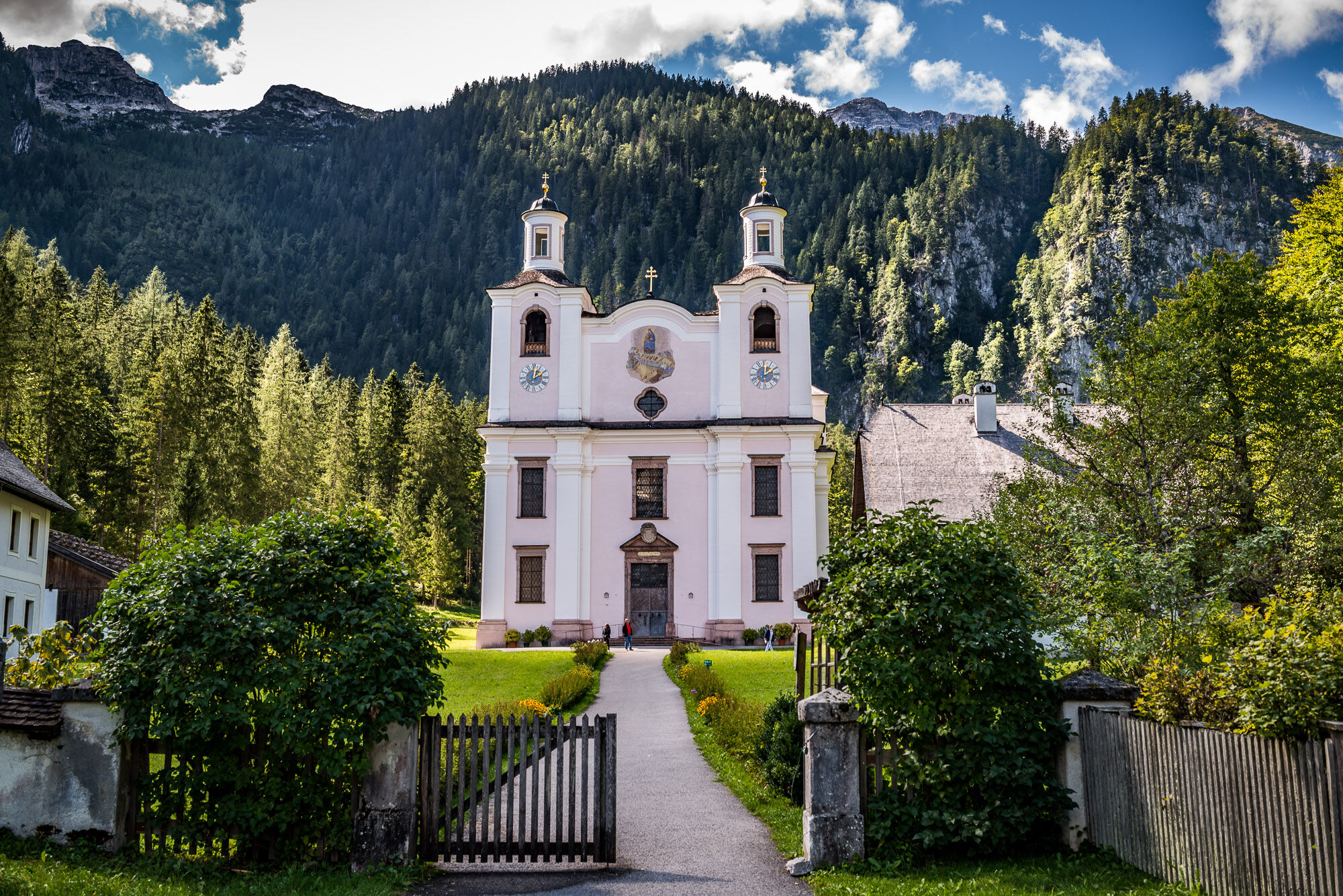
Pfarrkirche Hll Maria und Leonhard0,1 kmLofer0,3 kmKirchental4,2 kmSankt Martin bei Lofer6,3 kmStrohwolln7,2 kmScheffsnoth10,0 kmAu12,3 kmAntoniuskapelle12,6 kmBairau14,8 kmTeufelssteg15,5 kmKreuzkirche Lofer15,8 kmLofer15,9 kmPfarrkirche Hll Maria und Leonhard16,0 km
- Bedste sæson
-
janfebmaraprmajjunjulaugsepoktnovdec
- Højeste punkt
- 881 m
- Destination
-
Lofer tourist information office
- Højdeprofil
-


-

-
ForfatterRundvisningen Route of the Gorges - Hikingday no. 1 bruges af outdooractive.com forudsat.
GPS Downloads


Generel information
Forfriskningsstop
Kulturel/Historisk
Lovende
Flere ture i regionerne