

- Kort beskrivelse
-
Moderatly steep hiking trails and forest roads;
Caution: after rainy days, the paths are partly wet and slippery.
- Sværhedsgrad
-
medium
- Evaluering
-
- Rute
-
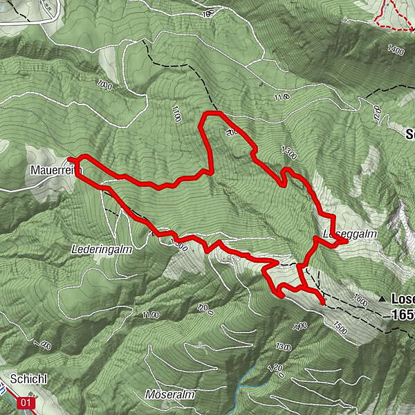
Mauerreith0,1 kmMahdalm2,4 kmLangfeldhütte3,3 kmMauerreith6,1 km
- Bedste sæson
-
janfebmaraprmajjunjulaugsepoktnovdec
- Højeste punkt
- 1.528 m
- Destination
-
Maurreith parking lot
- Højdeprofil
-

-

-
ForfatterRundvisningen Mahdalm and Loseggalm bruges af outdooractive.com forudsat.
GPS Downloads


Generel information
Forfriskningsstop
Flere ture i regionerne


