

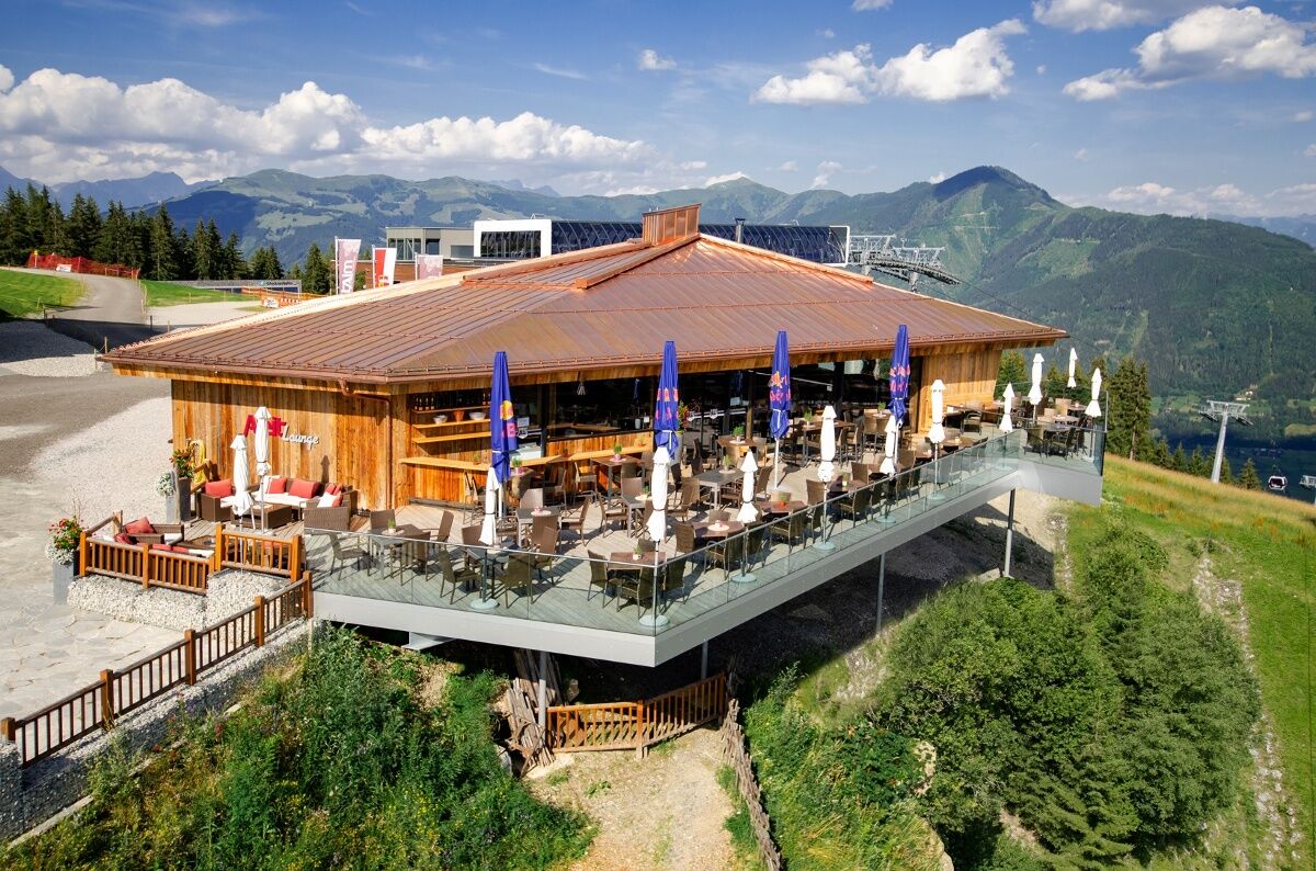
© Areit Lounge

- Kort beskrivelse
-
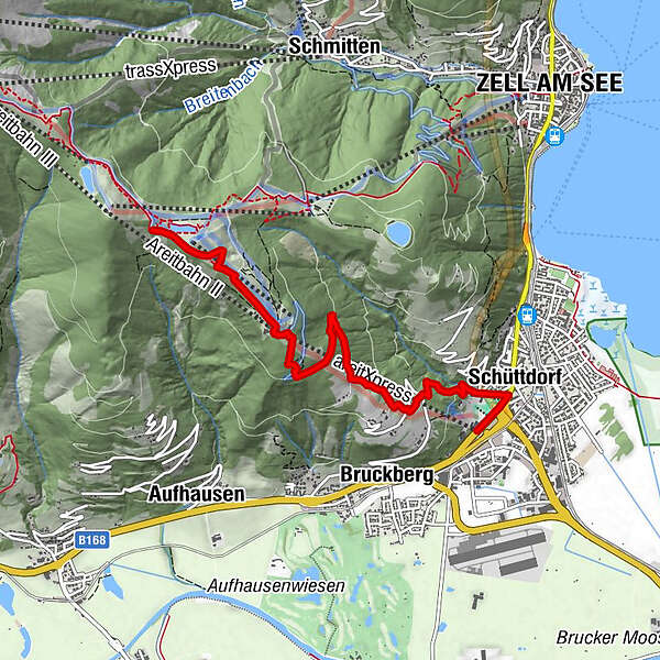
From Schüttdorf on a freight road, past the Schoberlam and a forest trail to the Areitalm. Descent with the areitXpress or continue uphill towards Schmittenhöhe.
- Sværhedsgrad
-
medium
- Evaluering
-
- Rute
-
Südtirolersiedlung0,4 kmSchüttdorf0,4 kmSchüttgut0,6 kmAreit Lounge3,9 kmGlocknerhaus5,4 km
- Bedste sæson
-
janfebmaraprmajjunjulaugsepoktnovdec
- Højeste punkt
- 1.574 m
- Destination
-
Glockneralm
- Højdeprofil
-

-

-
ForfatterRundvisningen Areitweg bruges af outdooractive.com forudsat.
GPS Downloads


Generel information
Forfriskningsstop
Flora
Lovende
Flere ture i regionerne
-
Zell am See - Kaprun
1502
-
Schmittenhöhe
522


