


- Kort beskrivelse
-
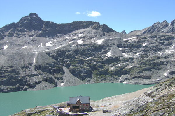
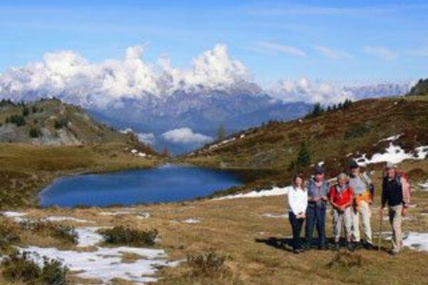
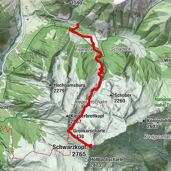
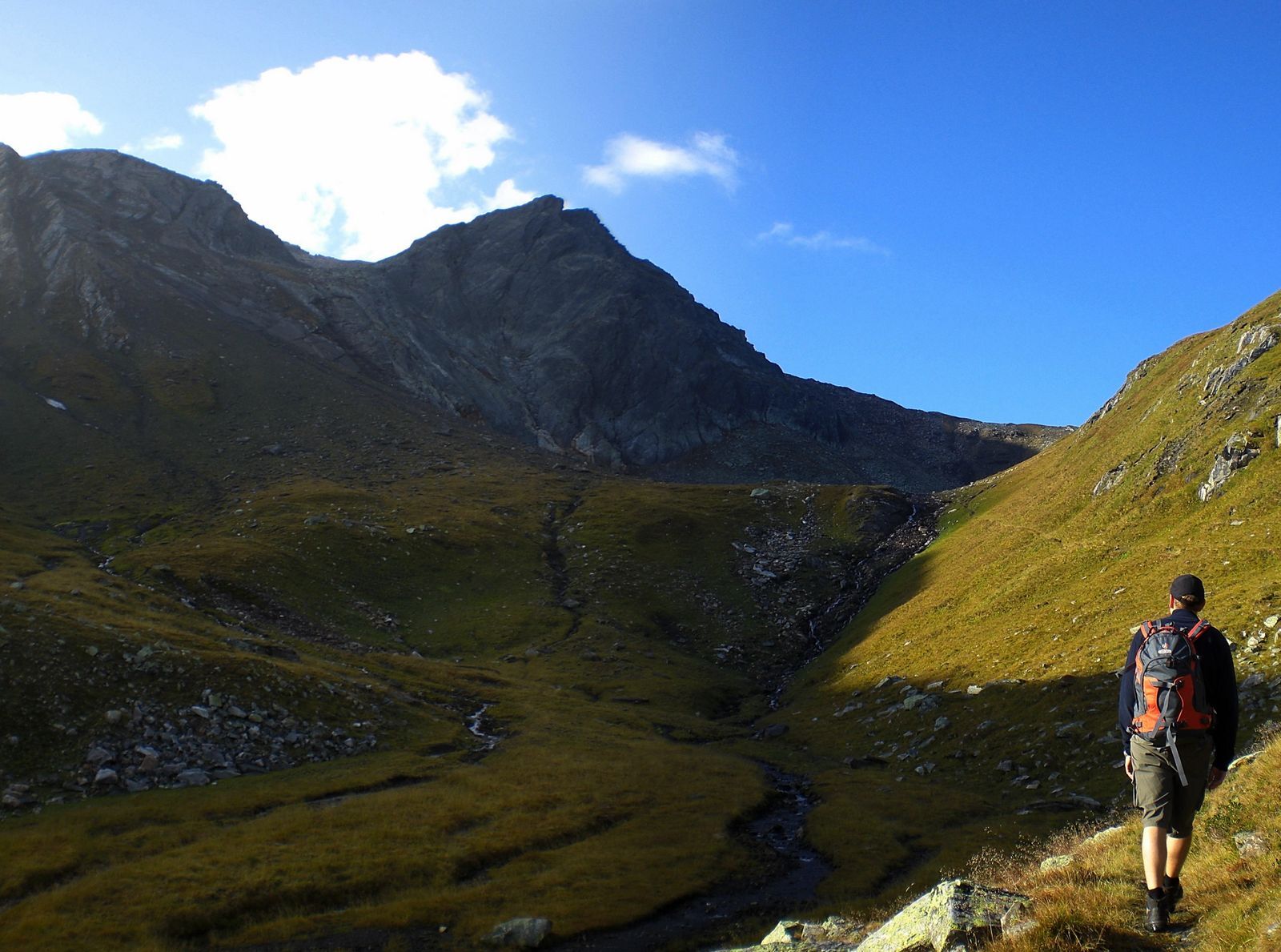
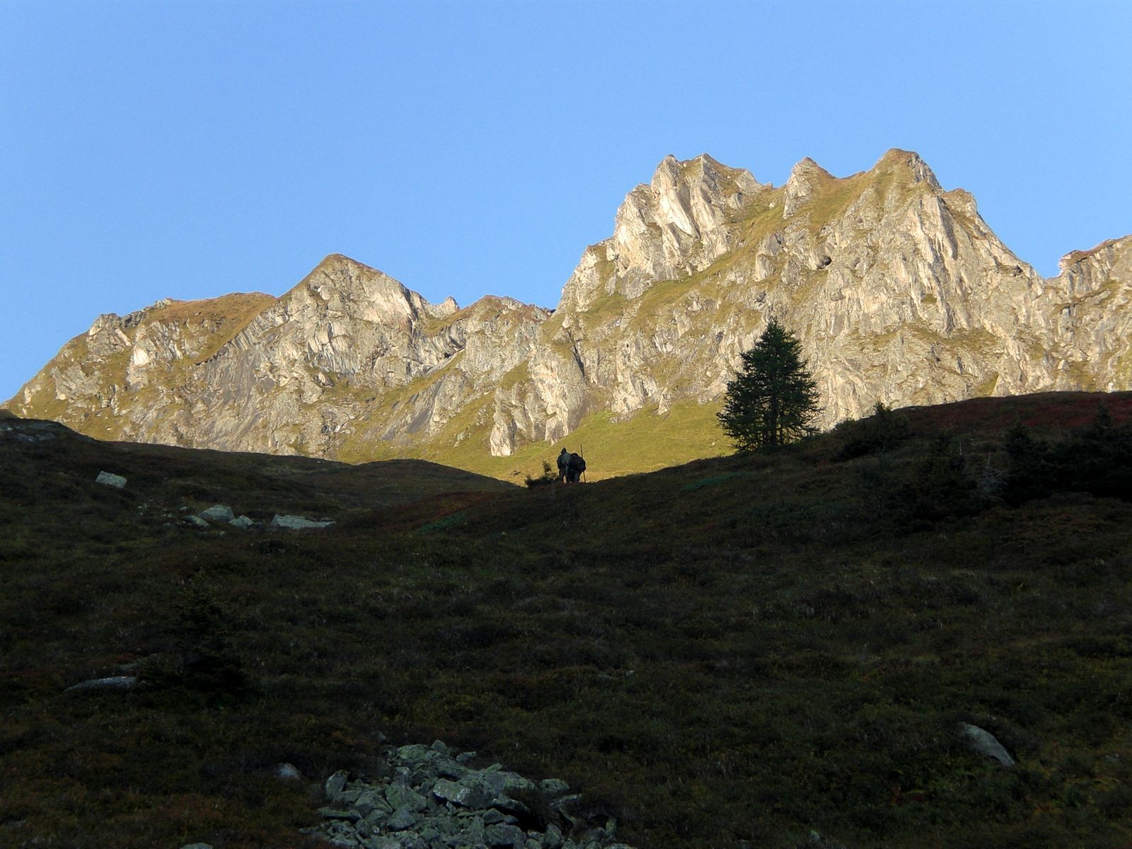
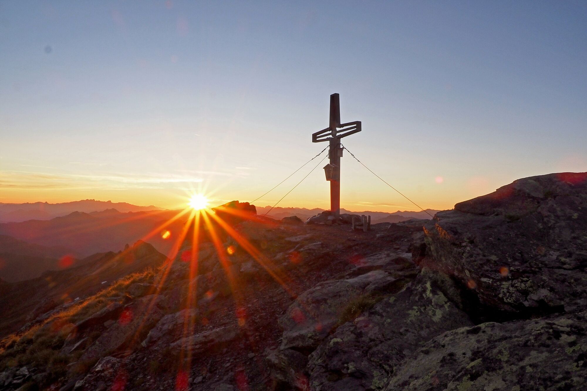
Wunderschöne Wanderung bis auf 2.764 m Seehöhe. Beeindruckende Gipfelaussicht auf Glockner- und Sonnblickgruppe, die Kalkalpen bis zum Wilden Kaiser und zum Dachstein.
- Sværhedsgrad
-
tung
- Evaluering
-
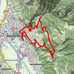
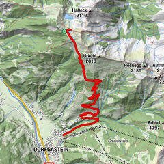
- Rute
-
Bad Fusch0,1 kmAugenheilquelle0,1 kmSt. Wolfgang0,1 kmGrünkarscharte (2.438 m)5,9 kmSchwarzkopf (2.765 m)7,1 km
- Bedste sæson
-
janfebmaraprmajjunjulaugsepoktnovdec
- Højeste punkt
- 2.703 m
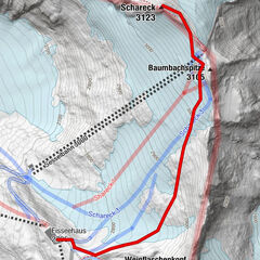
- Destination
-
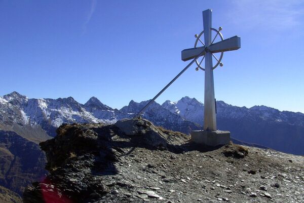
Schwarzkopf
- Højdeprofil
-


- Forfatter
-
Rundvisningen Fusch: 2H | Schwarzkopf ab Bad Fusch bruges af outdooractive.com forudsat.
GPS Downloads


Stiens tilstand
Sten
Generel information
Fauna
Lovende
Flere ture i regionerne