

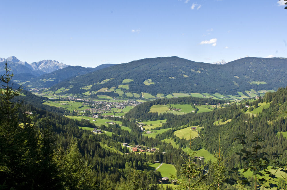
© Altenmarkt-Zauchensee Tourismus
- Kort beskrivelse
-
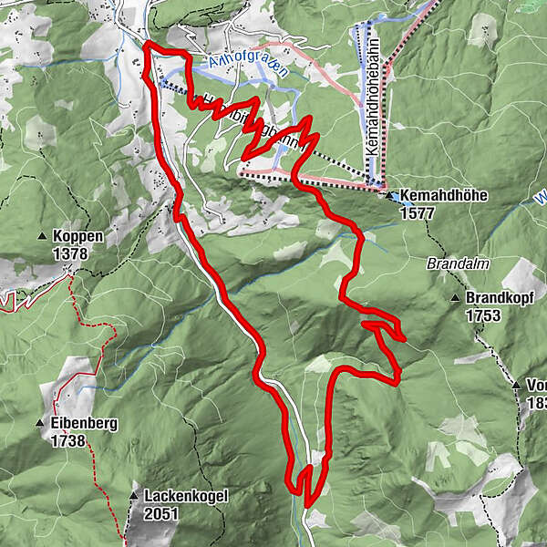
The Steinwand circular trail leads south-east in the low mountain range over a forest ridge.
- Sværhedsgrad
-
medium
- Evaluering
-
- Rute
-
Plum Restaurant0,0 kmGasthof Neuhäusl14,0 kmPlum Restaurant15,6 km
- Bedste sæson
-
janfebmaraprmajjunjulaugsepoktnovdec
- Højeste punkt
- 1.523 m
- Destination
-
Start point Ameisenberg recreational area information board on Rettenbach road
- Højdeprofil
-

-

-
ForfatterRundvisningen Steinwand Circuit bruges af outdooractive.com forudsat.
GPS Downloads


Generel information
Forfriskningsstop
Flere ture i regionerne


