© Tourenportal Berchtesgadener Land - Sepp Wurm

© Tourenportal Berchtesgadener Land - Franz Renoth

© Tourenportal Berchtesgadener Land - Franz Renoth
- Kort beskrivelse
-
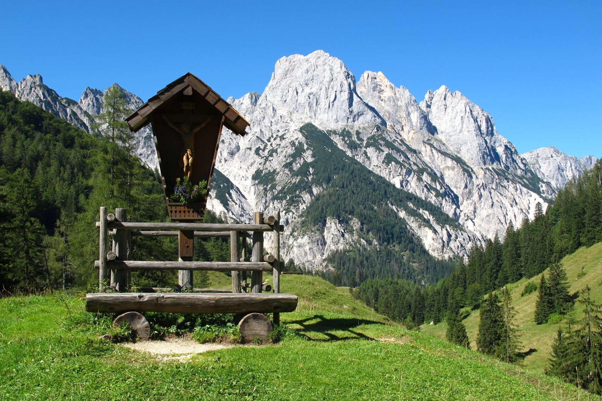
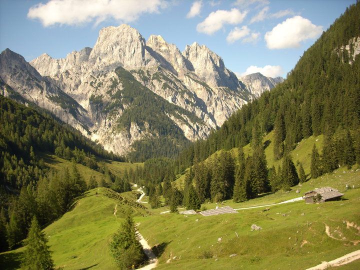
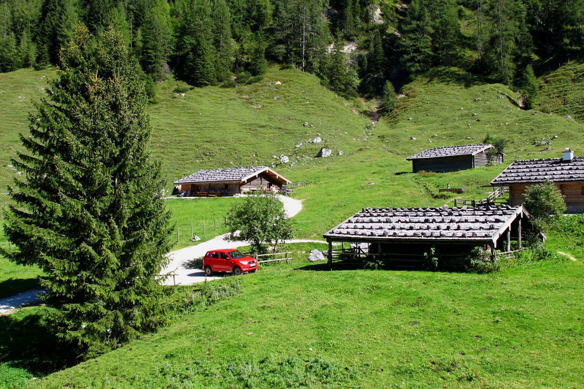
From Hirschbichl to the Bindalm and on through the Klausbach valley to the idyllic Hintersee (481)
- Sværhedsgrad
-
medium
- Evaluering
-
- Rute
-
HirschbichlBindalm0,5 kmMösler-Kaser0,5 kmHängebrücken3,5 kmAuzinger7,8 km
- Bedste sæson
-
janfebmaraprmajjunjulaugsepoktnovdec
- Højeste punkt
- 1.134 m
- Destination
-
Hintersee
- Højdeprofil
-

-

-
ForfatterRundvisningen Hirschbichl - Bindalm - Hintersee bruges af outdooractive.com forudsat.
GPS Downloads


Generel information
Forfriskningsstop
Flere ture i regionerne