© A. Meurer

© Salzburger Saalachtal Tourismus - Salzburger Saalachtal

© Achim Meurer

© A. Meurer - Achim Meurer
- Kort beskrivelse
-
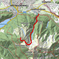
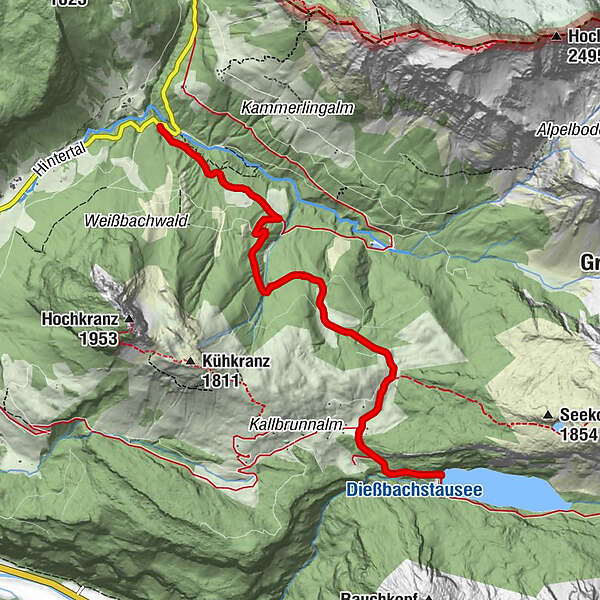
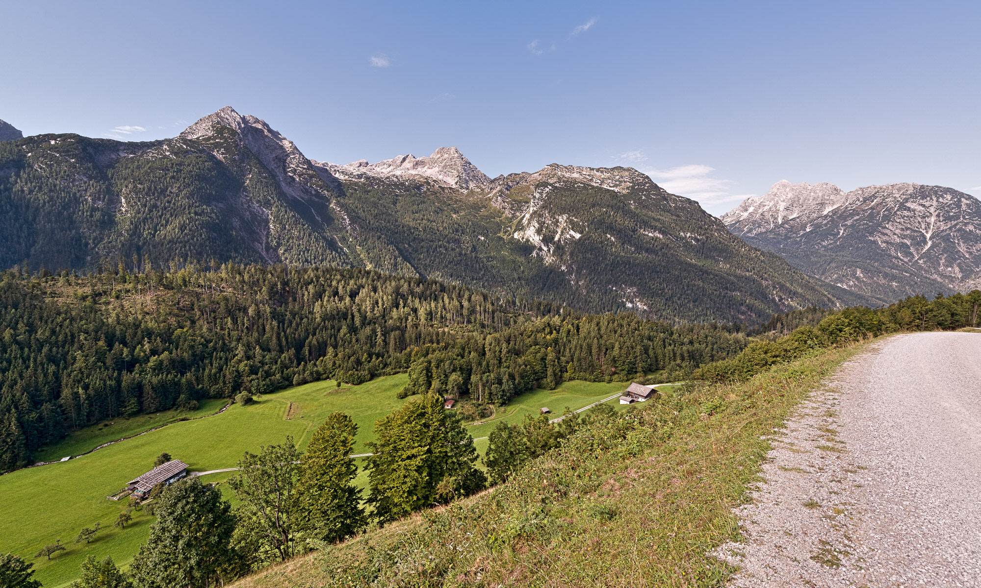
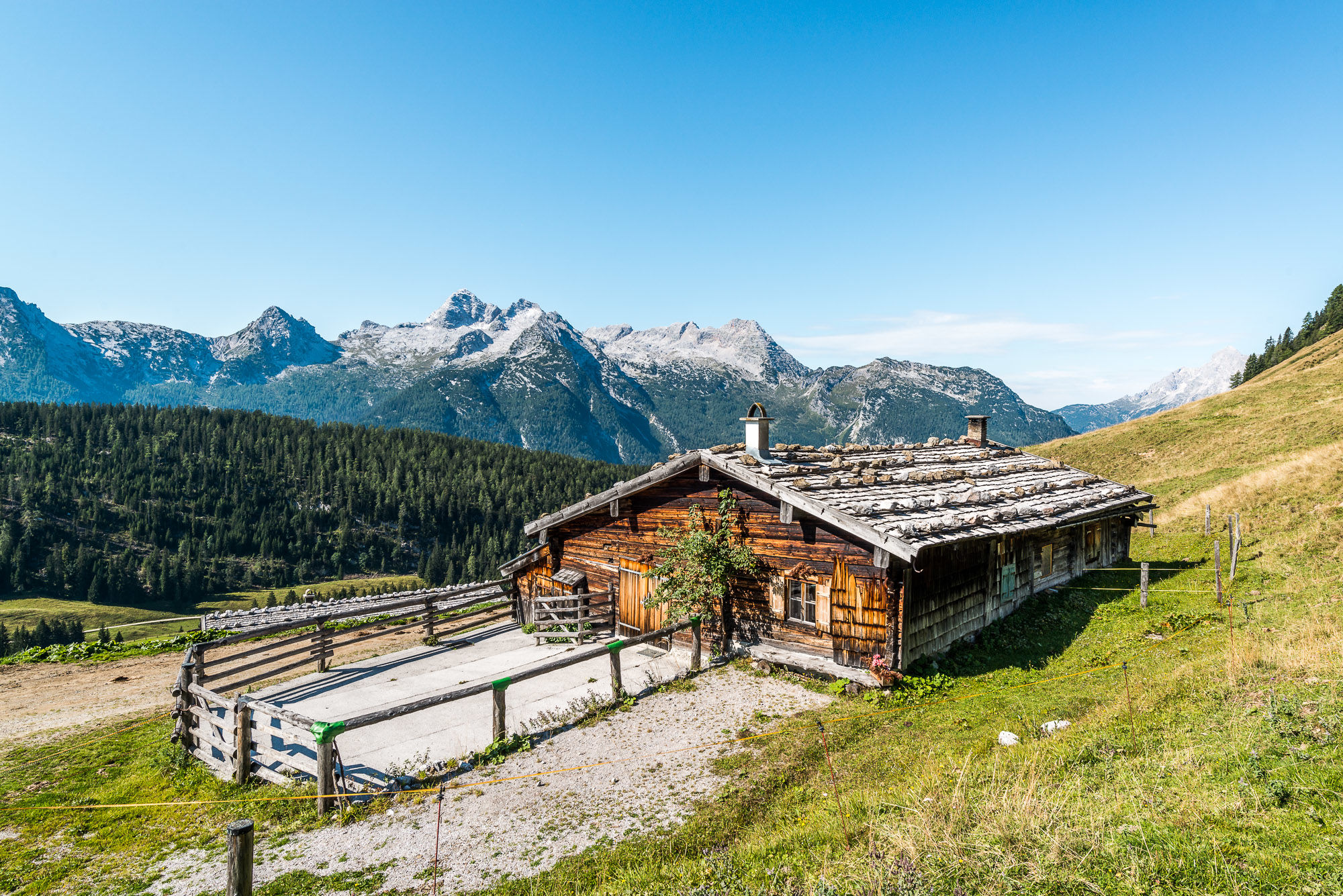
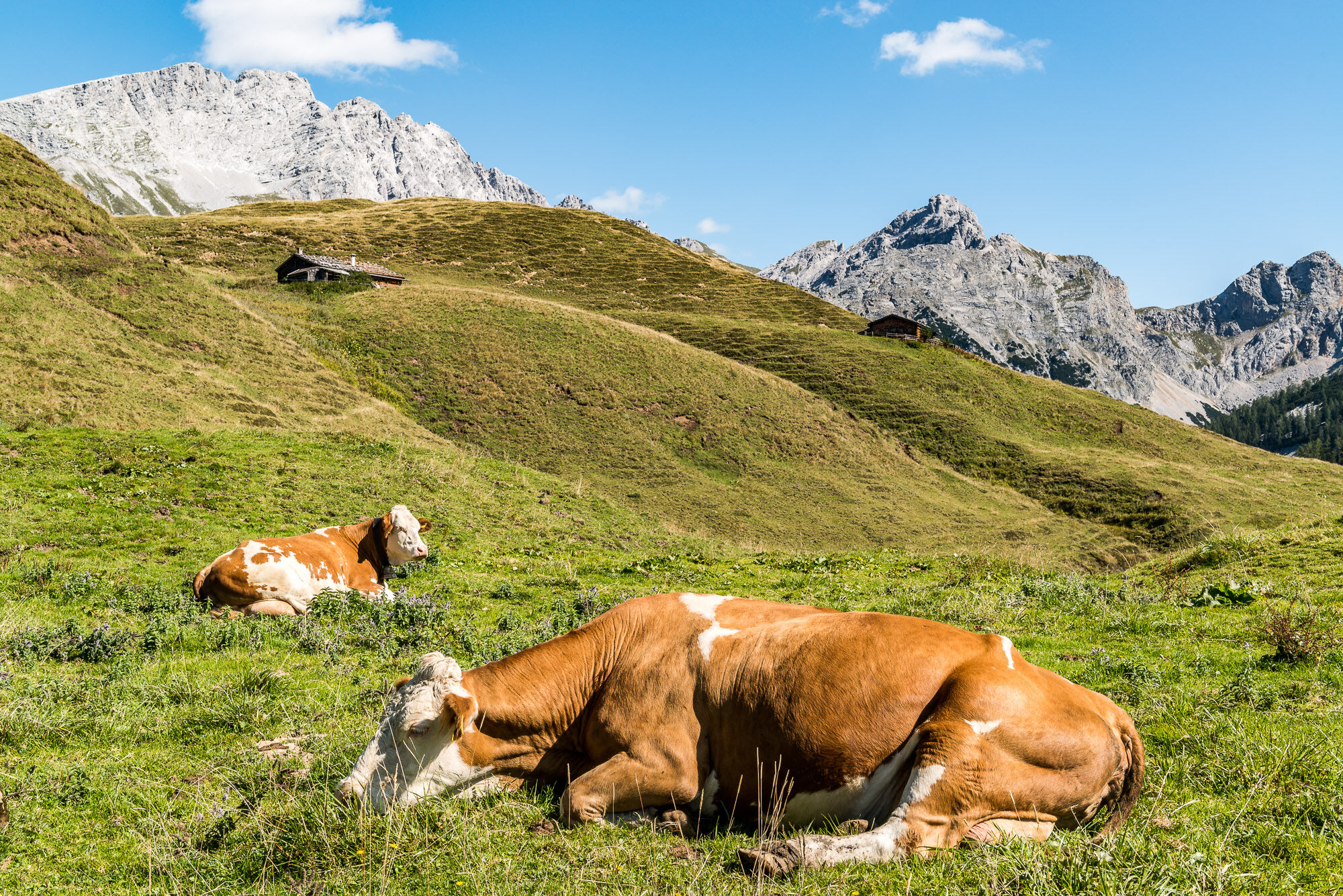
On the forest road via the Kallbrunnalm to the Dießbach reservoir
- Sværhedsgrad
-
medium
- Evaluering
-
- Bedste sæson
-
janfebmaraprmajjunjulaugsepoktnovdec
- Højeste punkt
- 1.468 m
- Destination
-
Dießbach dam
- Højdeprofil
-


-

-
ForfatterRundvisningen Wanderung Kallbrunnalm (from Waltlmühlsäge) bruges af outdooractive.com forudsat.
GPS Downloads


Generel information
Forfriskningsstop
Lovende
Flere ture i regionerne
-
Saalfelden - Leogang
1787
-
Weißbach bei Lofer
327