© Tourismusverband Filzmoos - Christine Schober

- Kort beskrivelse
-
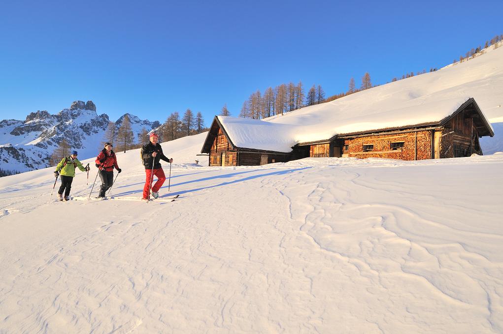
Beautiful, popular and easy ski tour for the whole winter. Not only very rewarding with powder snow but also with Firn.
- Sværhedsgrad
-
medium
- Evaluering
-
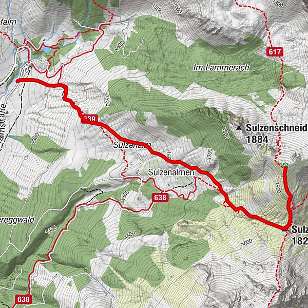
- Rute
-
Sulzenalmen1,6 kmSulzenhals (1.824 m)2,8 km
- Bedste sæson
-
augsepoktnovdecjanfebmaraprmajjunjul
- Højeste punkt
- 1.966 m
- Destination
-
Oberhofalm
- Exposition
- Højdeprofil
-

- Forfatter
-
Rundvisningen Backcountry Skitour Sulzenschneid bruges af outdooractive.com forudsat.
GPS Downloads


Generel information
Forfriskningsstop
Lovende
Flere ture i regionerne
-
Schladming - Dachstein
250
-
Ramsau am Dachstein
130
-
Filzmoos
54