© Salzburger Saalachtal Tourismus - Naturpark Weißbach


© Salzburger Saalachtal Tourismus - Naturpark Weißbach


© Salzburger Saalachtal Tourismus - Naturpark Weißbach

- Kort beskrivelse
-
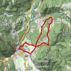
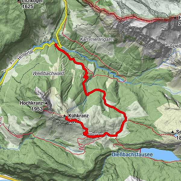
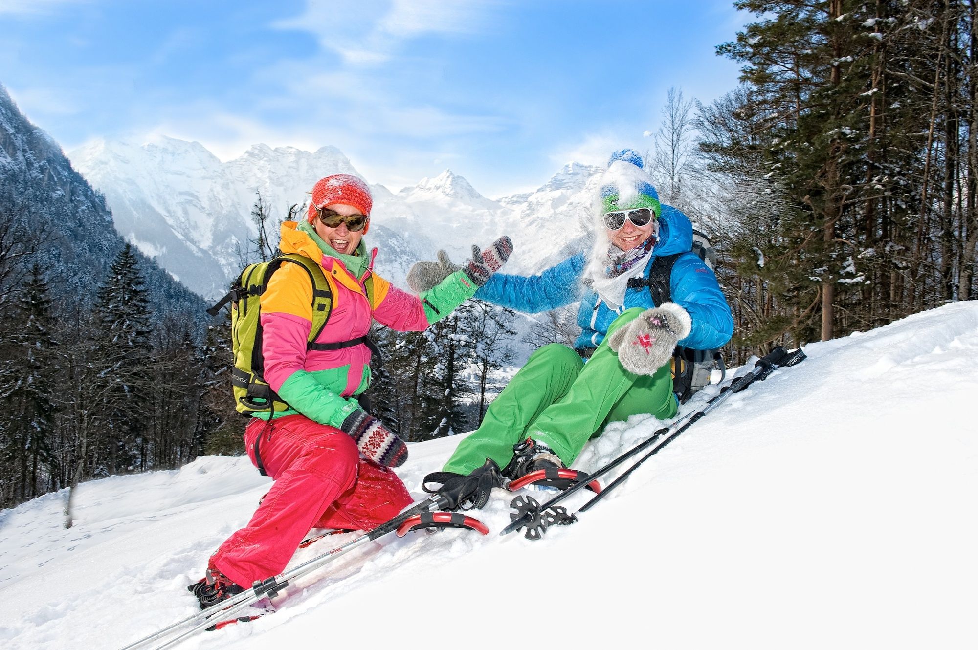
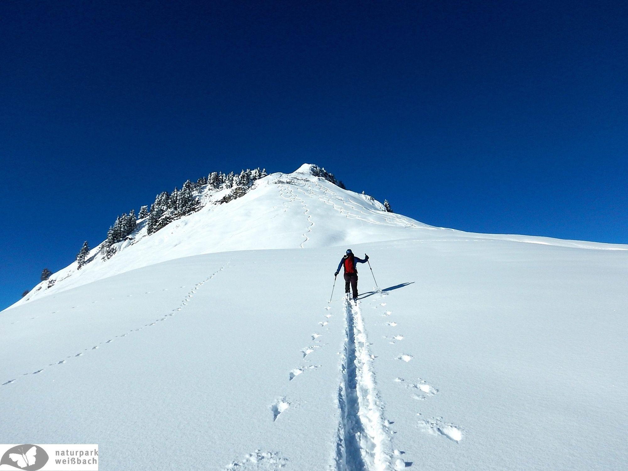
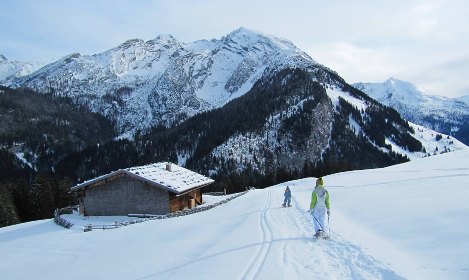
Beautiful snowshoe hike from the Waltlmühlsäge car park via the Kallbrunnalm to the Kuhkranz and back.
- Sværhedsgrad
-
medium
- Evaluering
-
- Bedste sæson
-
augsepoktnovdecjanfebmaraprmajjunjul
- Højeste punkt
- 1.787 m
- Destination
-
Weißbach - Waltlmühlsäge car park
- Højdeprofil
-


-

-
ForfatterRundvisningen Snowshoe Hike to the Kuhkranz bruges af outdooractive.com forudsat.