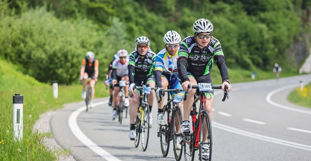
© Tourismusverband Radstadt/Heiko Mandl - Heiko Mandl


- Kort beskrivelse
-
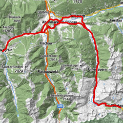
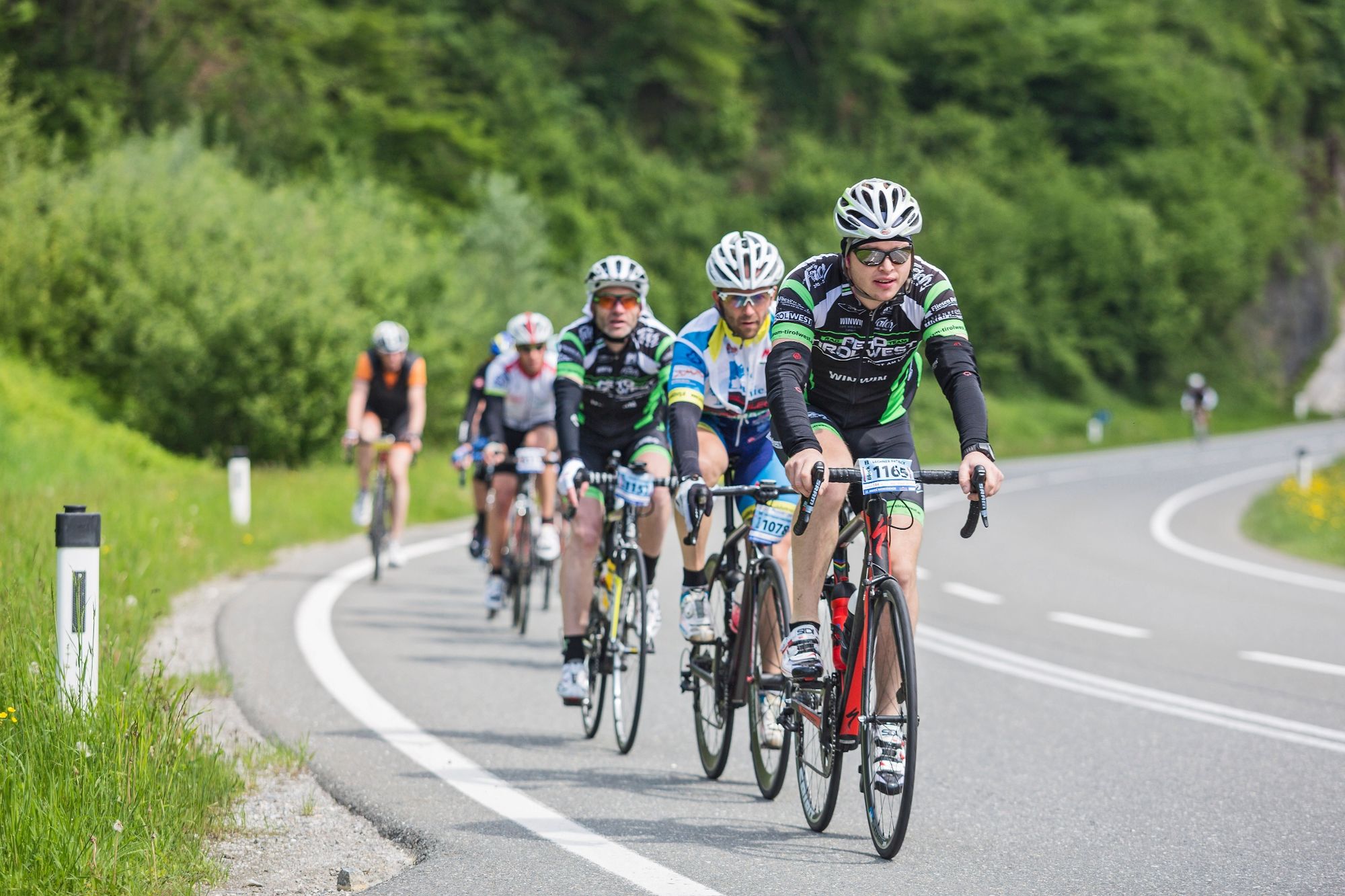
Tour to the end of the Flachau valley with a steady slight climb.
- Sværhedsgrad
-
let
- Evaluering
-
- Rute
-
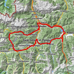
Radstadt (858 m)0,1 kmKrallinger2,9 kmAltenmarkt im Pongau3,6 kmReitdorf6,9 kmFlachau10,3 kmFlachauwinkl15,6 kmOfentürl16,4 kmOfentürl28,8 kmFlachauwinkl29,7 kmFlachau34,7 kmReitdorf38,2 kmAltenmarkt im Pongau41,6 kmKrallinger42,2 kmRadstadt (858 m)45,1 km
- Bedste sæson
-
janfebmaraprmajjunjulaugsepoktnovdec
- Højeste punkt
- 1.186 m
- Destination
-
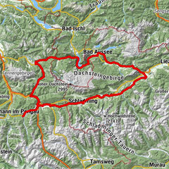
Radstadt post office
- Højdeprofil
-

-

-
ForfatterRundvisningen Head of the Valley in Flachau bruges af outdooractive.com forudsat.
GPS Downloads


Generel information
Forfriskningsstop
Flere ture i regionerne