
- Kort beskrivelse
-
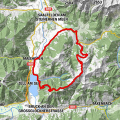
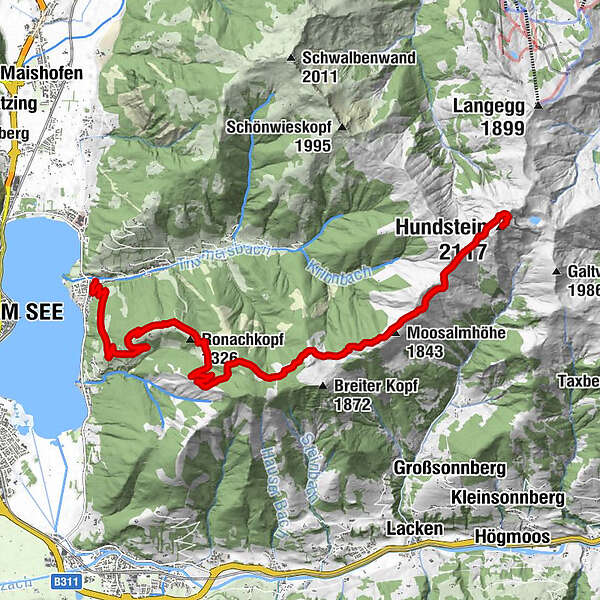
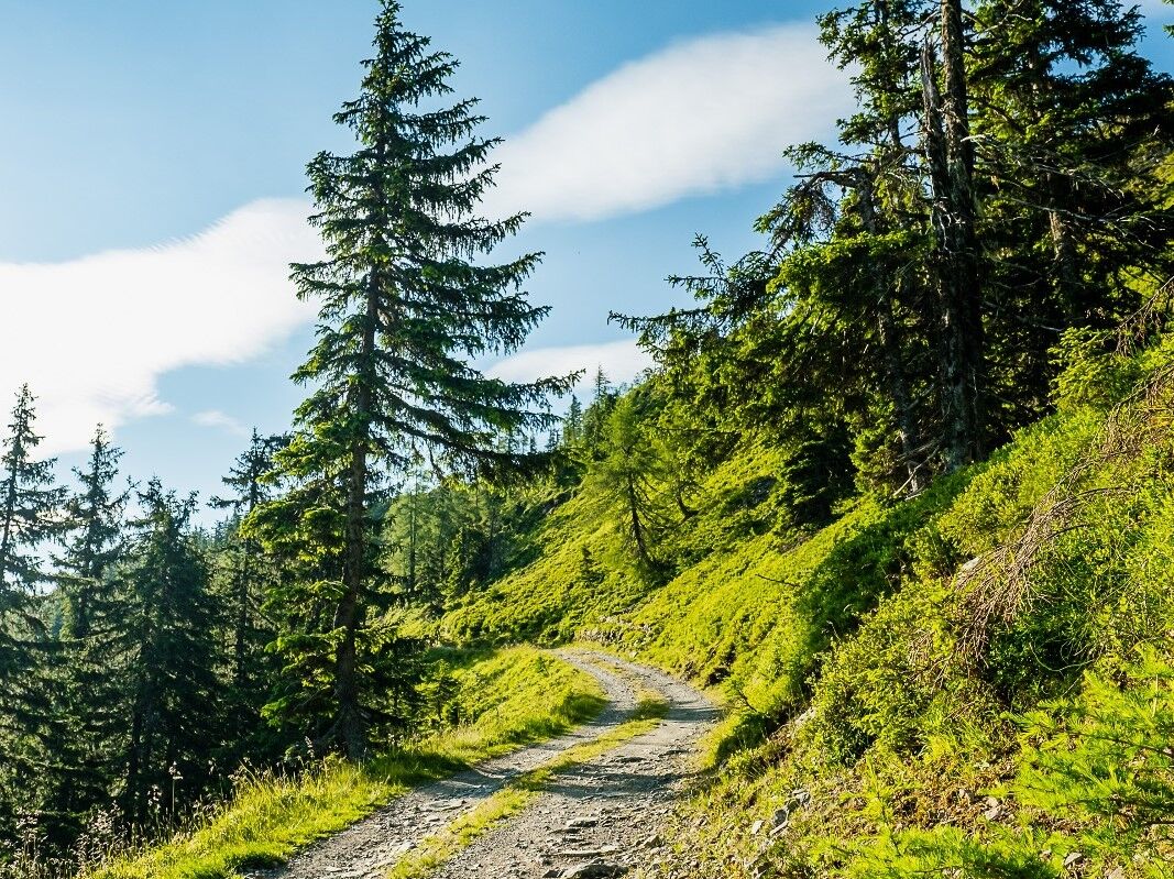
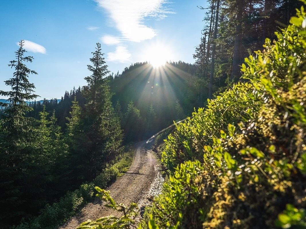
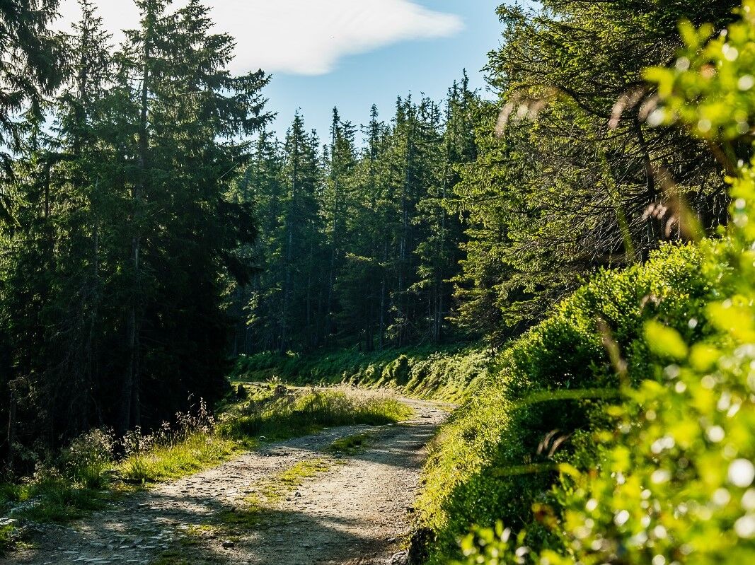
Challenging tour uphill to the Hundstein - Statzerhaus 2.117 m height.
- Sværhedsgrad
-
tung
- Evaluering
-
- Rute
-
Thumersbach0,1 kmEnzianhütte4,5 kmMoosalmhöhe (1.843 m)10,9 kmHundstein (2.117 m)14,3 kmStatzerhaus14,3 km
- Bedste sæson
-
janfebmaraprmajjunjulaugsepoktnovdec
- Højeste punkt
- 2.099 m
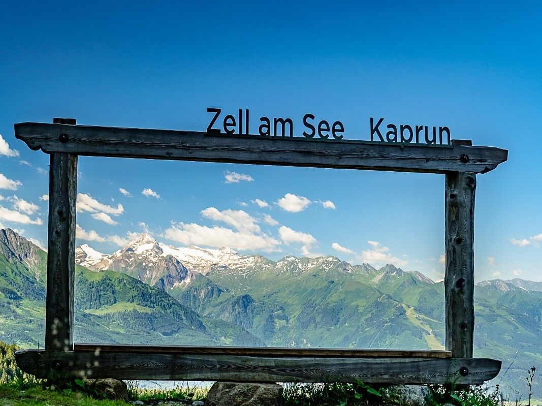
- Destination
-
Hunstein - Statzerhaus
- Højdeprofil
-


-

-
ForfatterRundvisningen MTB-Trail ZE8 Thumersbach-Hundstein bruges af outdooractive.com forudsat.
GPS Downloads


Generel information
Forfriskningsstop
Flora
Fauna
Lovende
Flere ture i regionerne