© Tourismusbetrieb der Stadt Oberharz am Brocken - © Mandy Leonhardt

© Tourismusbetrieb der Stadt Oberharz am Brocken - Mandy Leonhardt

© Tourismusbetrieb der Stadt Oberharz am Brocken - Mandy Leonhardt

© Tourismusbetrieb der Stadt Oberharz am Brocken - Mandy Leonhardt

© Tourismusbetrieb der Stadt Oberharz am Brocken - Mandy Leonhardt

© Tourismusbetrieb der Stadt Oberharz am Brocken - Mandy Leonhardt

© Tourismusbetrieb Oberharz am Brocken - Mandy Leonhardt

© Tourismusbetrieb der Stadt Oberharz am Brocken - © Mandy Leonhardt

© Tourismusbetrieb der Stadt Oberharz am Brocken - Mandy Leonhardt

© Tourismusbetrieb der Stadt Oberharz am Brocken - © Mandy Leonhardt

- Kort beskrivelse
-
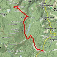
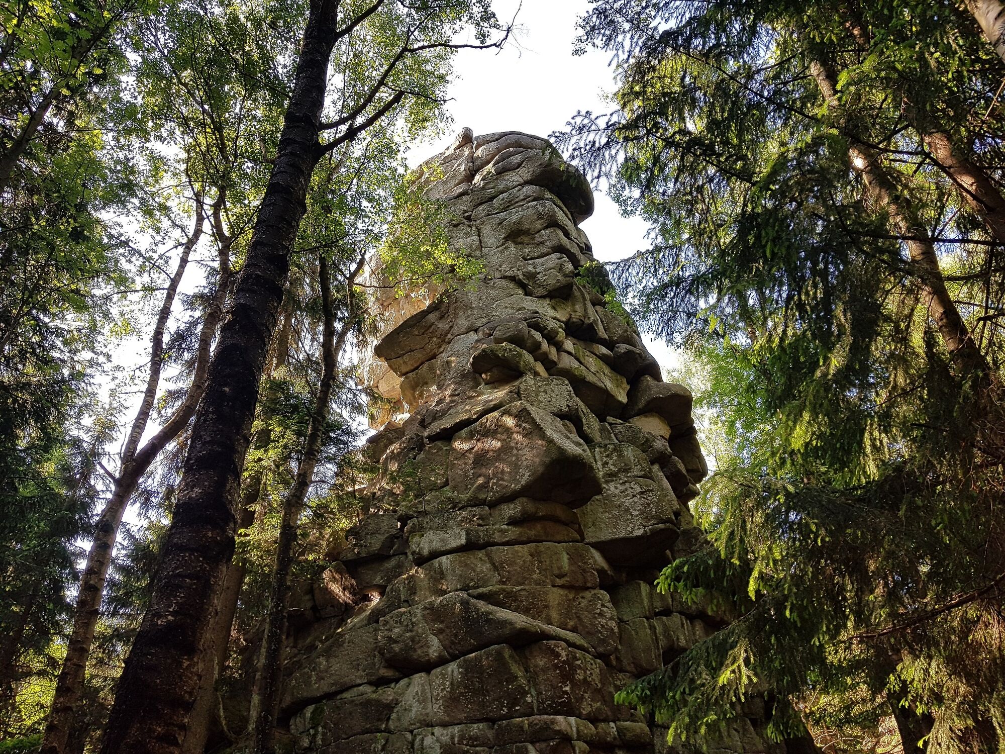
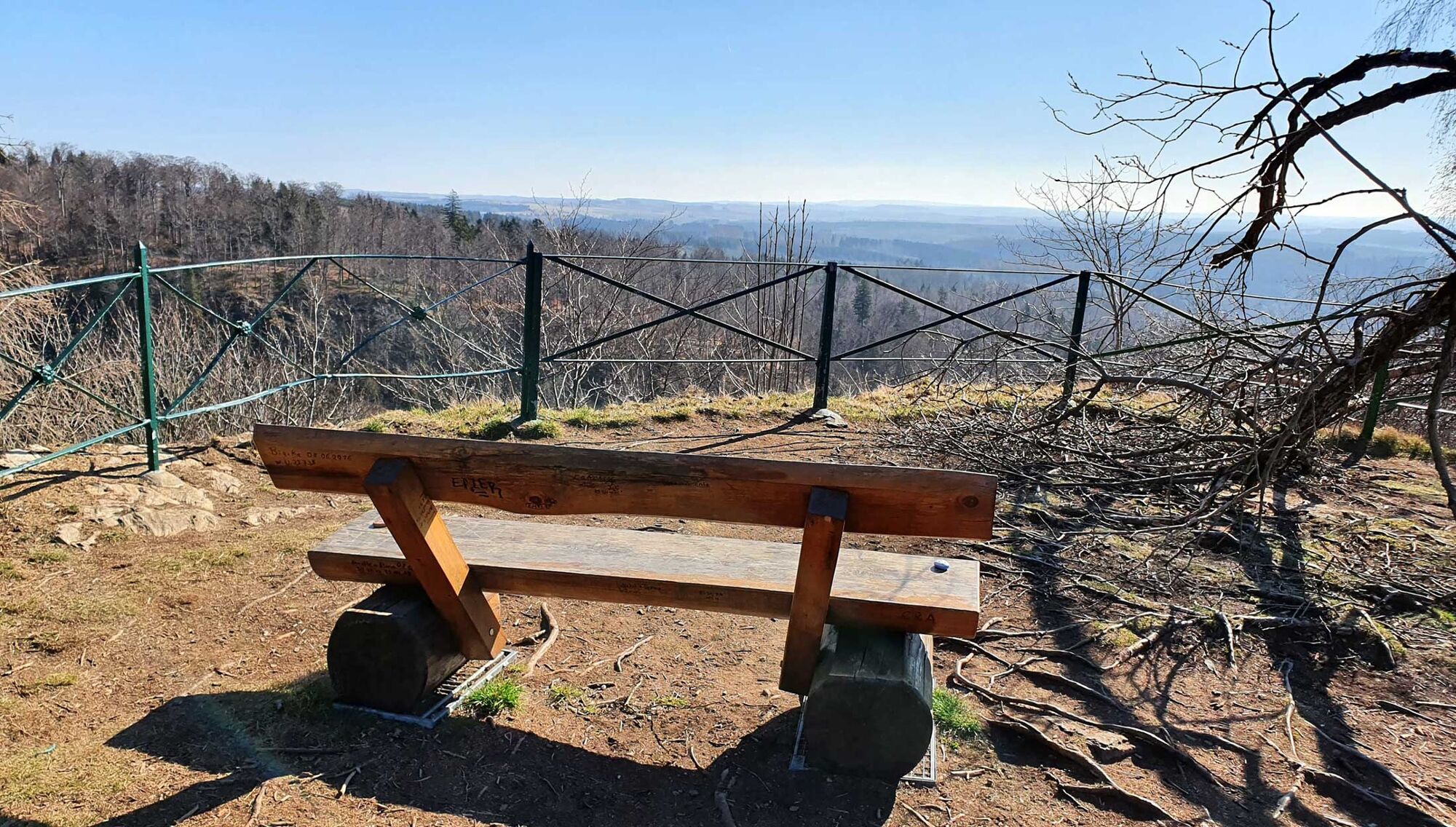
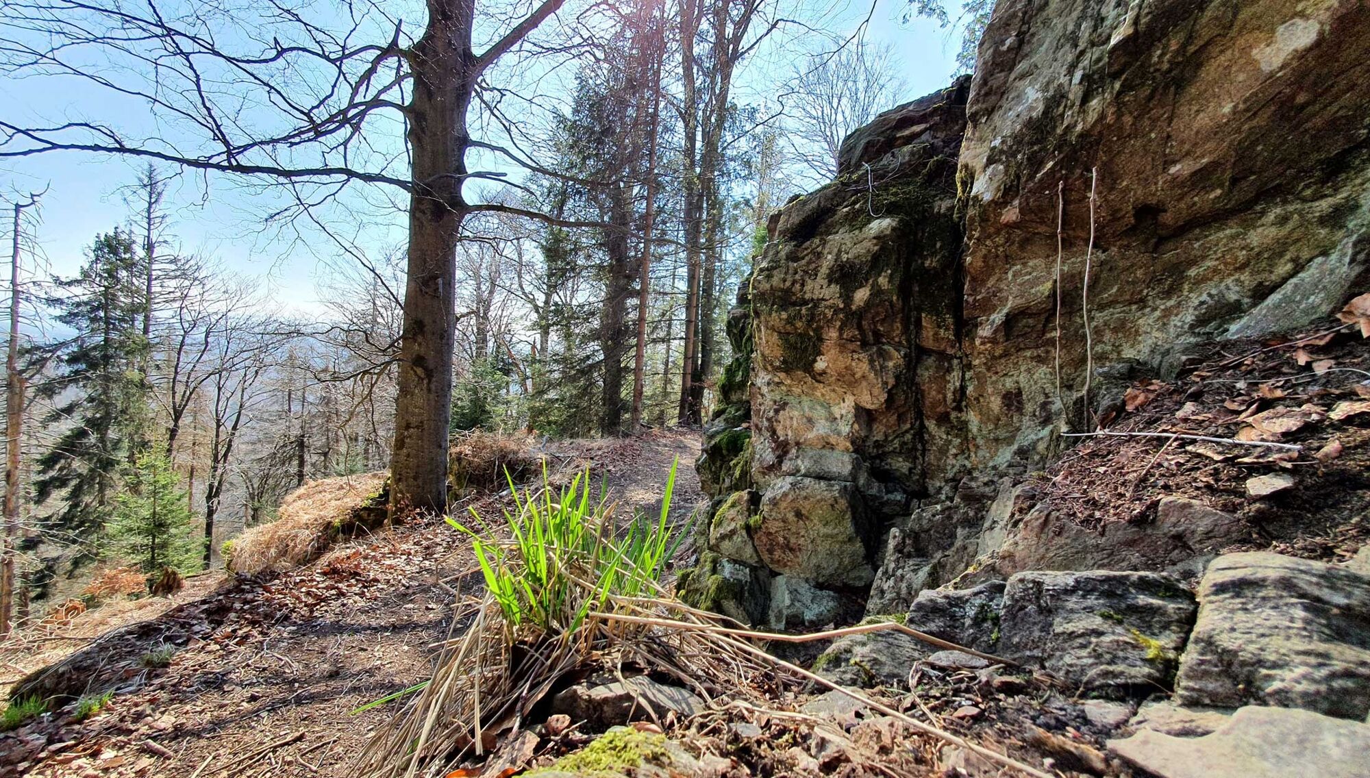
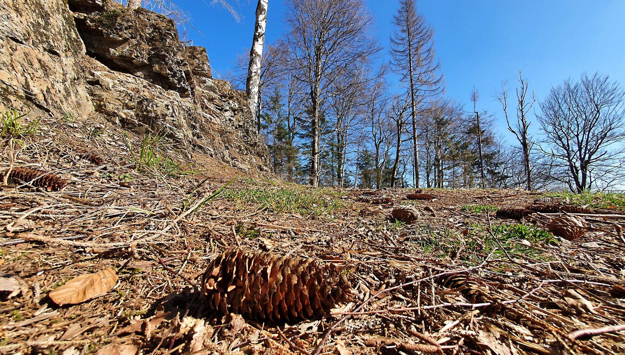
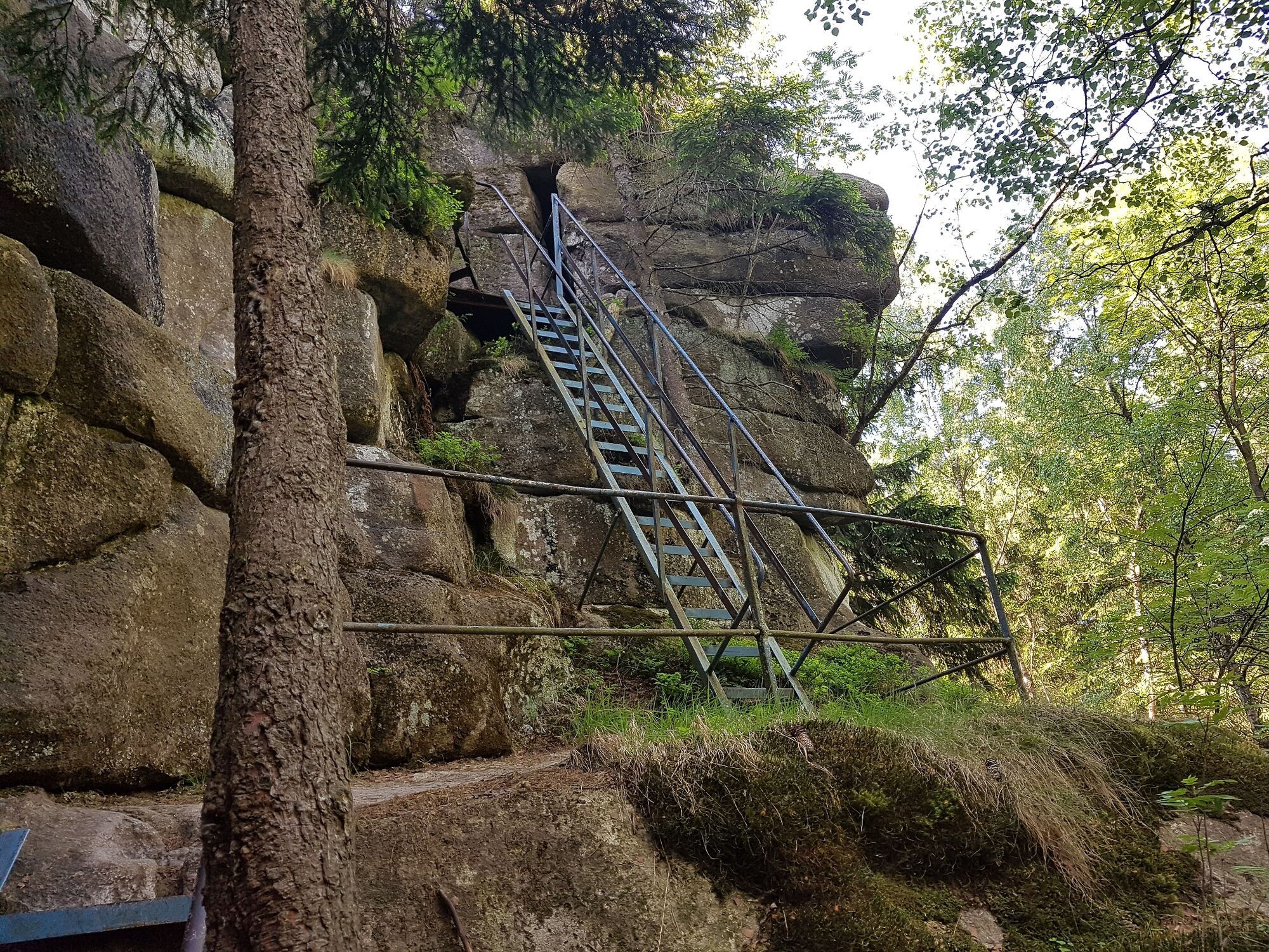
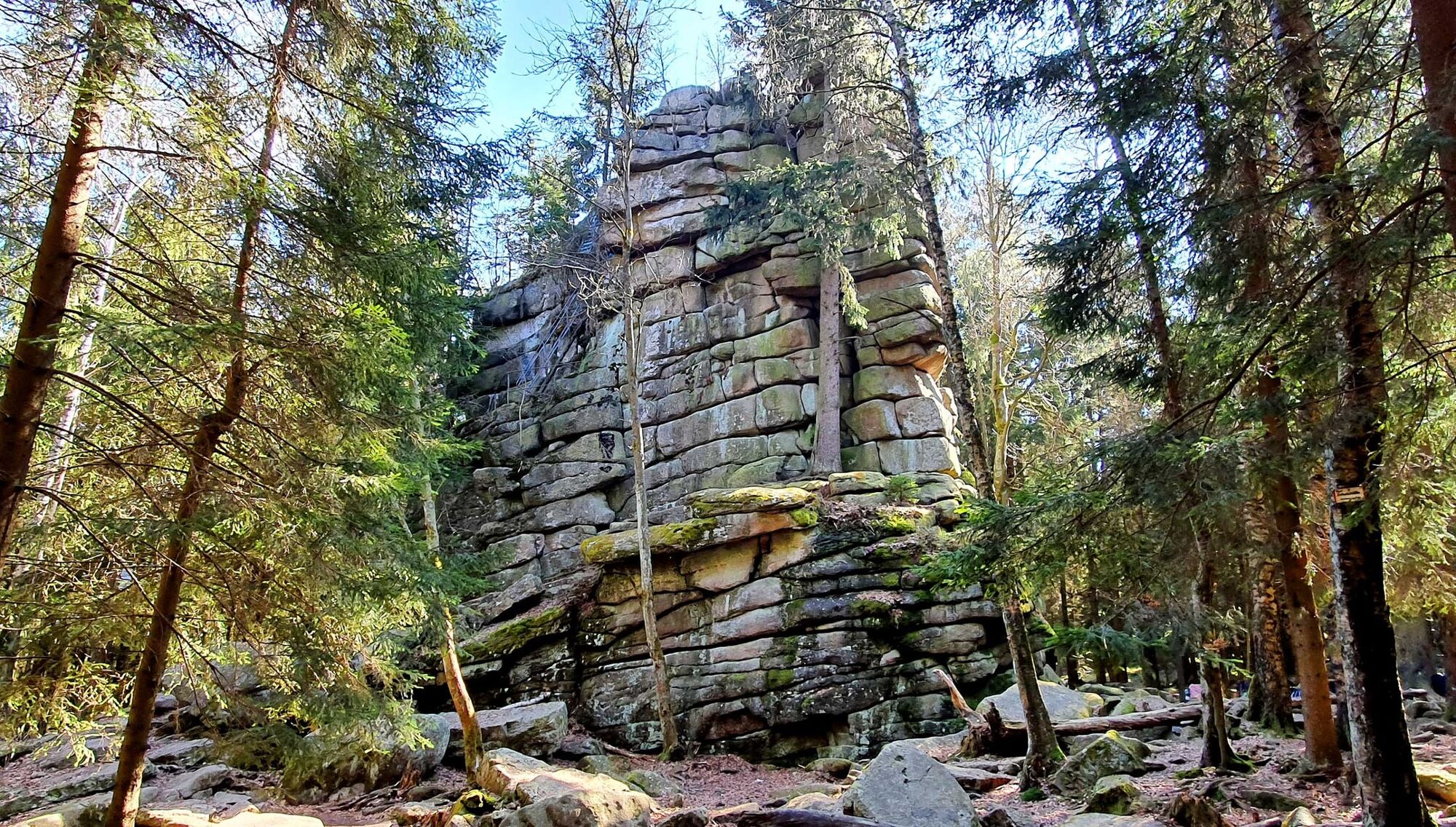
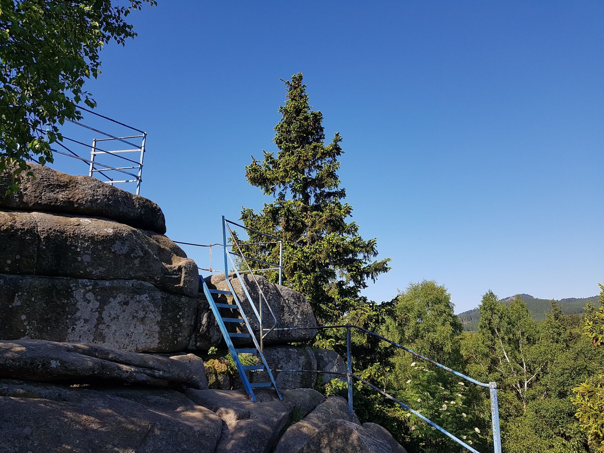
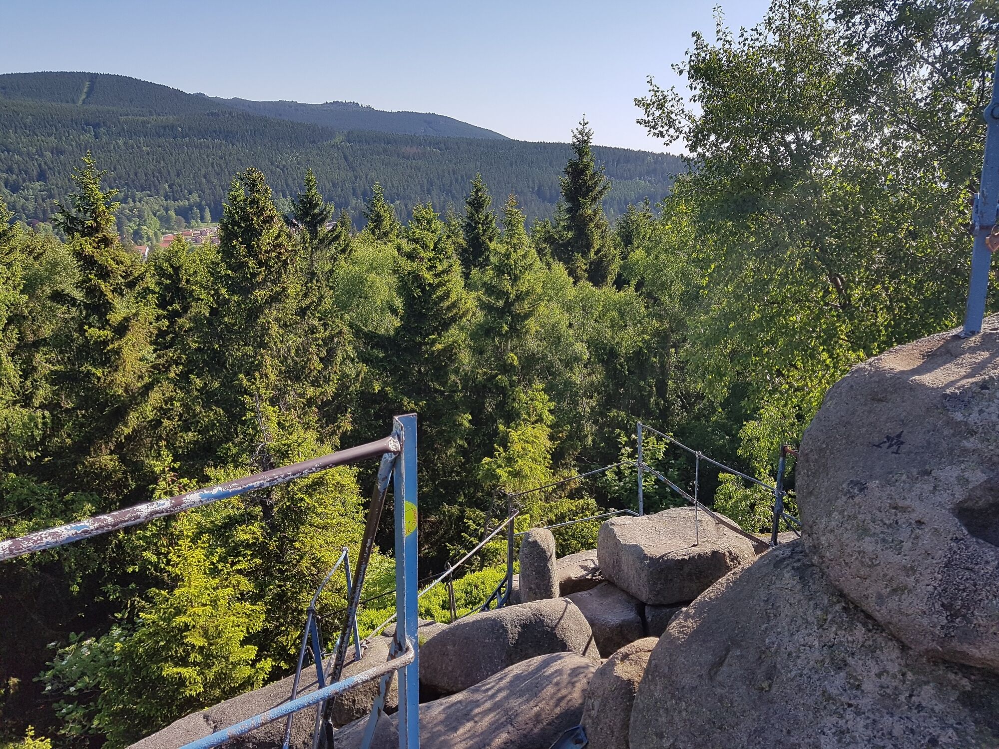
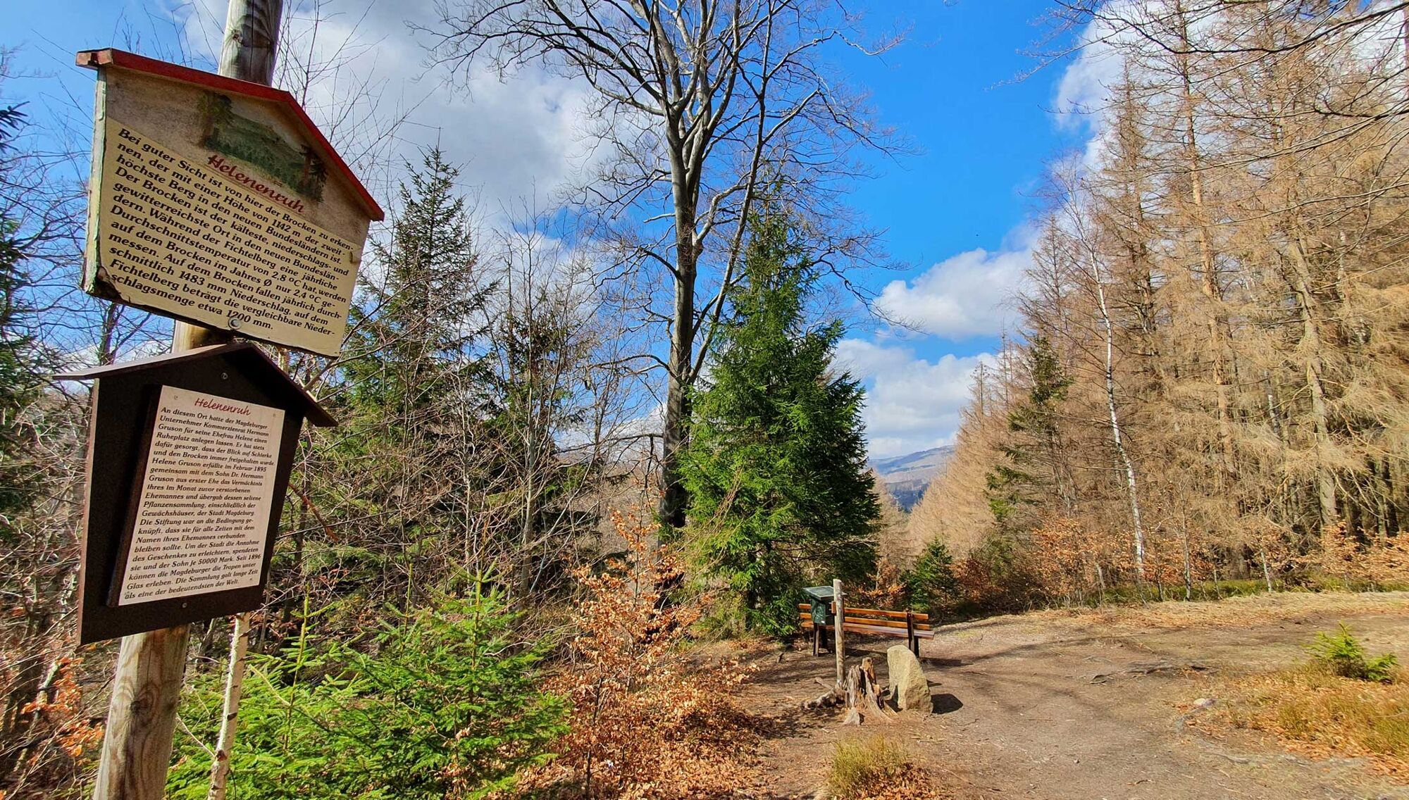
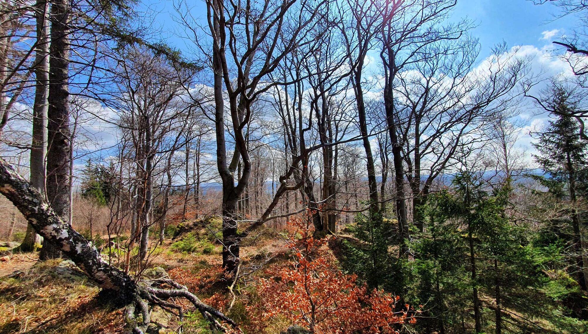
The adventurous and scenic hike to the "Snoring Cliffs" is one of the most popular routes from the Harz town of Elend.
- Sværhedsgrad
-
medium
- Evaluering
-
- Rute
-
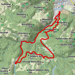
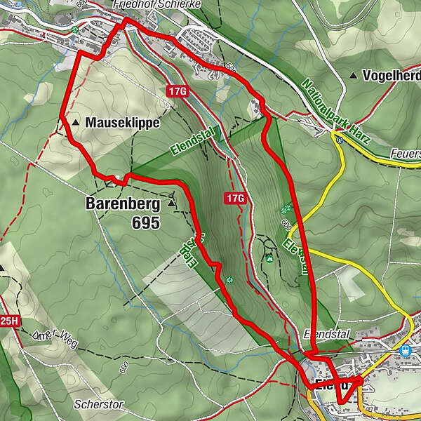
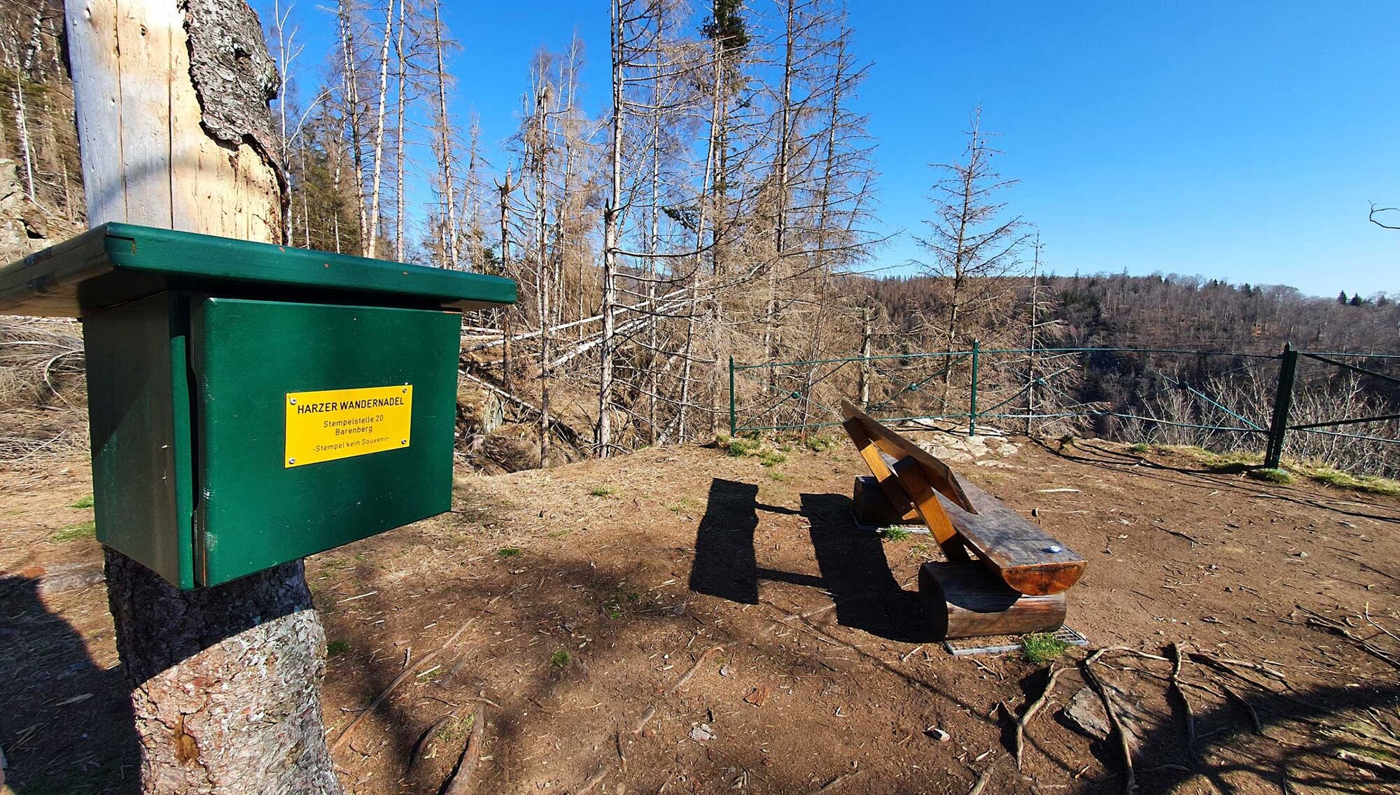
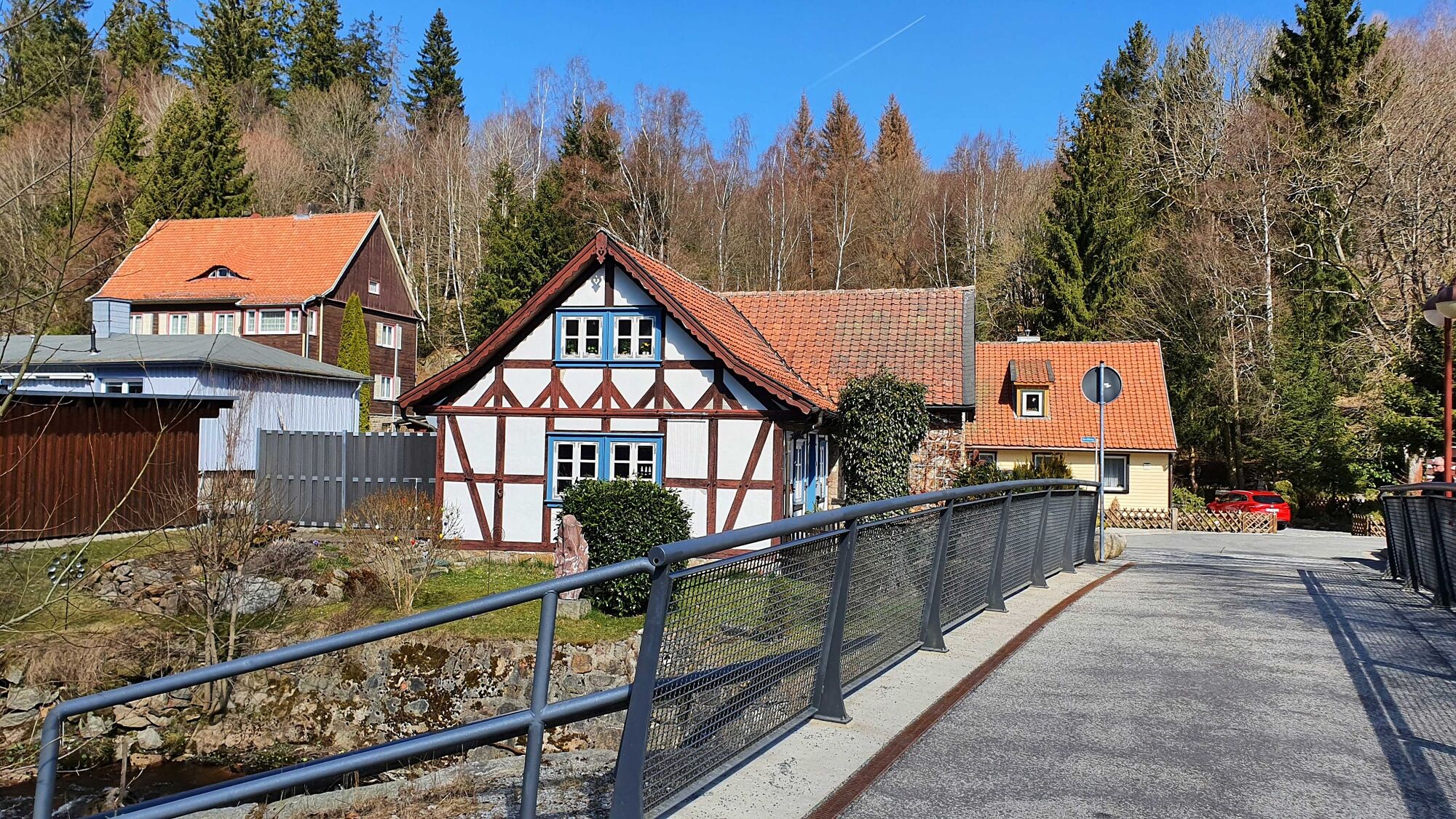
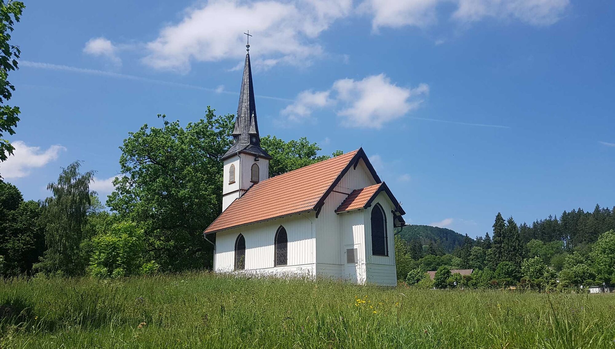
Kirche Elend0,1 kmHotel Waldmühle Harz0,3 kmElend (490 m)0,3 kmAussichtskanzel Barenberg1,3 kmBarenberg (695 m)1,7 kmSchnarcherklippe2,3 kmSüdliche Schnarcherklippe2,3 kmNördliche Schnarcherklippe2,3 kmSchierke (617 m)3,2 kmElend (490 m)6,4 km
- Bedste sæson
-
janfebmaraprmajjunjulaugsepoktnovdec
- Højeste punkt
- 673 m
- Destination
-
Elend, parking spot at the roundabout (main street)
- Højdeprofil
-
 © outdooractive.com


-

-
ForfatterRundvisningen To the "snorring cliffs" (HWN 14, 20 & 21, 9953) bruges af outdooractive.com forudsat.
GPS Downloads


Generel information
Forfriskningsstop
Lovende
Flere ture i regionerne
-
Der Harz/ Niedersachsen
1061
-
Oberharz
685
-
Schierke
378