© Tourismus Zentrale Saarland, Frank Polotzek

© Tourismus Zentrale Saarland, Frank Polotzek

© Tourismus Zentrale Saarland, Frank Polotzek

© Rüdiger Andres

© Tourismus Zentrale Saarland, Frank Polotzek

© Rüdiger Andres

© Rüdiger Andres

© Rüdiger Andres


- Kort beskrivelse
-
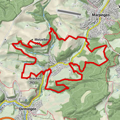
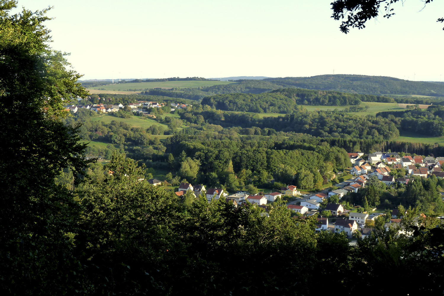
This loop is called ‘Smuggler’s Path‘ for historical reasons since it leads through a former border region. It also features wonderful views on pretty villages and mellow hills.
- Sværhedsgrad
-
medium
- Evaluering
-
- Rute
-
Hofeld-MauschbachPinsweiler1,4 kmGehweiler (362 m)2,8 kmGehweiler (362 m)9,1 kmLeidensattelberg (495 m)9,7 kmMetzenberg (475 m)11,0 kmFurschweiler11,2 kmHofeld-Mauschbach12,8 km
- Bedste sæson
-
janfebmaraprmajjunjulaugsepoktnovdec
- Højeste punkt
- 475 m
- Højdeprofil
-
 © outdooractive.com


- Forfatter
-
Rundvisningen Smuggler’s Path bruges af outdooractive.com forudsat.
GPS Downloads


Generel information
Kulturel/Historisk
Lovende
Flere ture i regionerne