© Touristik & Freizeit Sankt Wendeler Land, Eike Dubois

© Tourismus Zentrale Saarland, Frank Polotzek

© Tourismus Zentrale Saarland, Frank Polotzek

© Tourismus Zentrale Saarland, Frank Polotzek

© Tourismus Zentrale Saarland, Klaus Wallach

© Touristik & Freizeit Sankt Wendeler Land, Eike Dubois

© Touristik & Freizeit Sankt Wendeler Land, Eike Dubois

© Touristik & Freizeit Sankt Wendeler Land, Eike Dubois

© Saarland - Frank Polotzek

- Kort beskrivelse
-
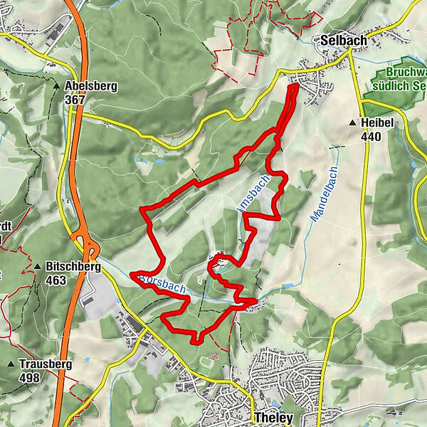
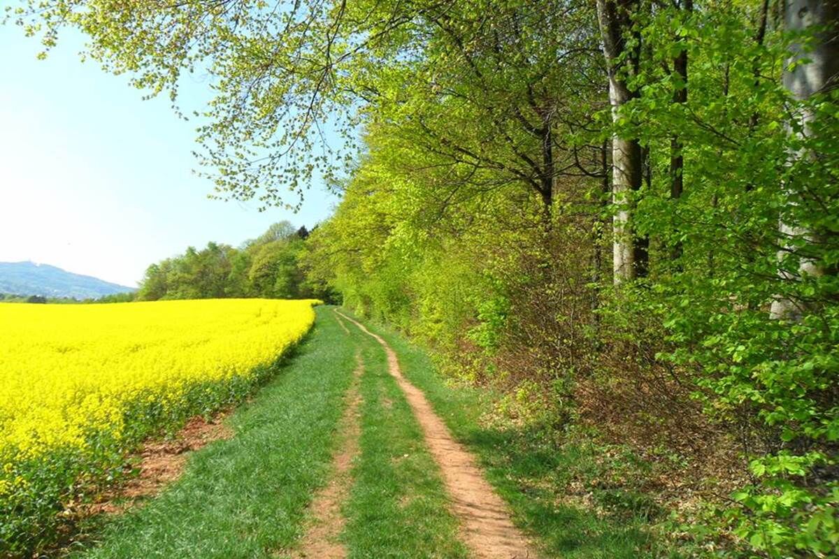
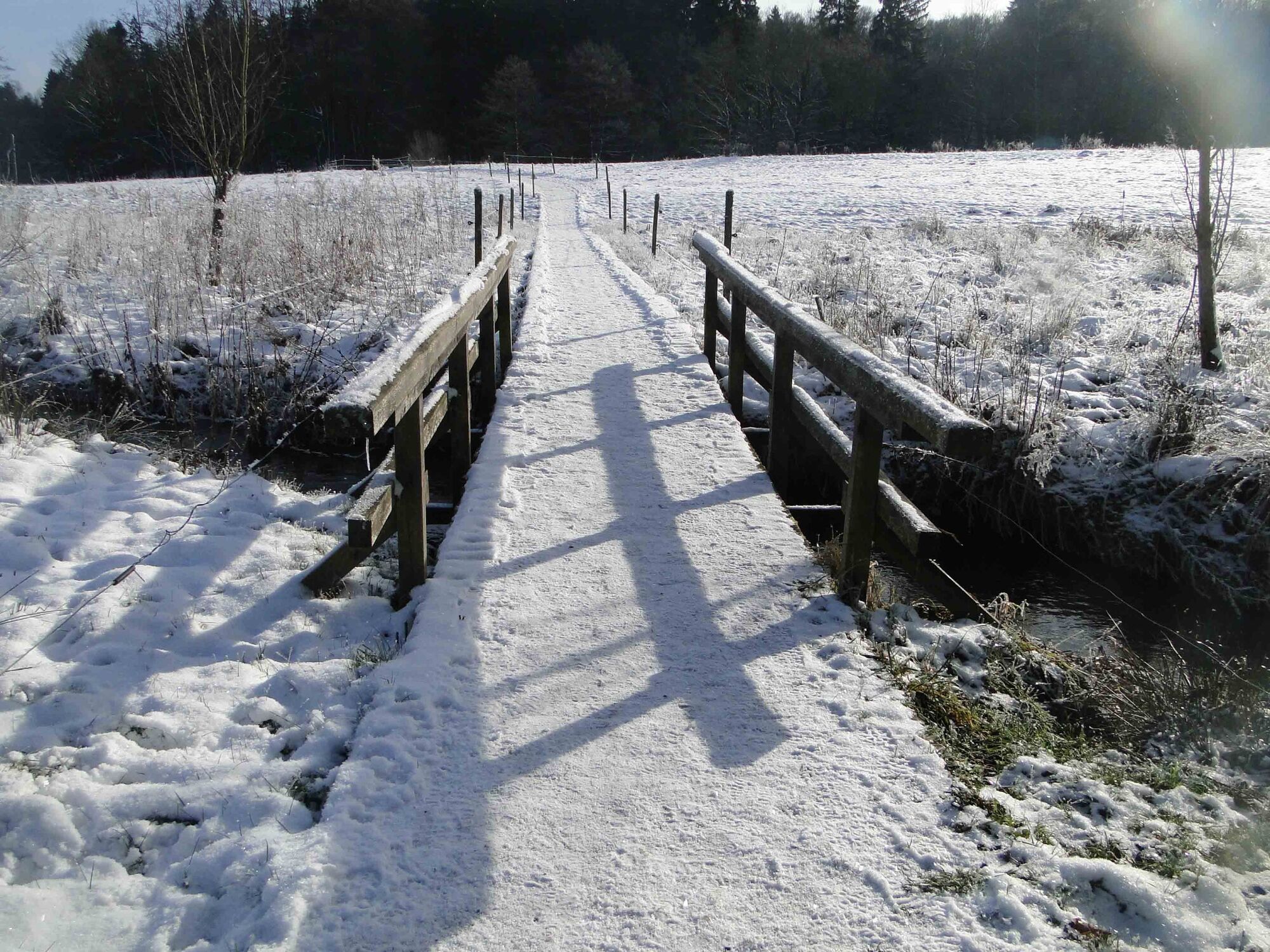
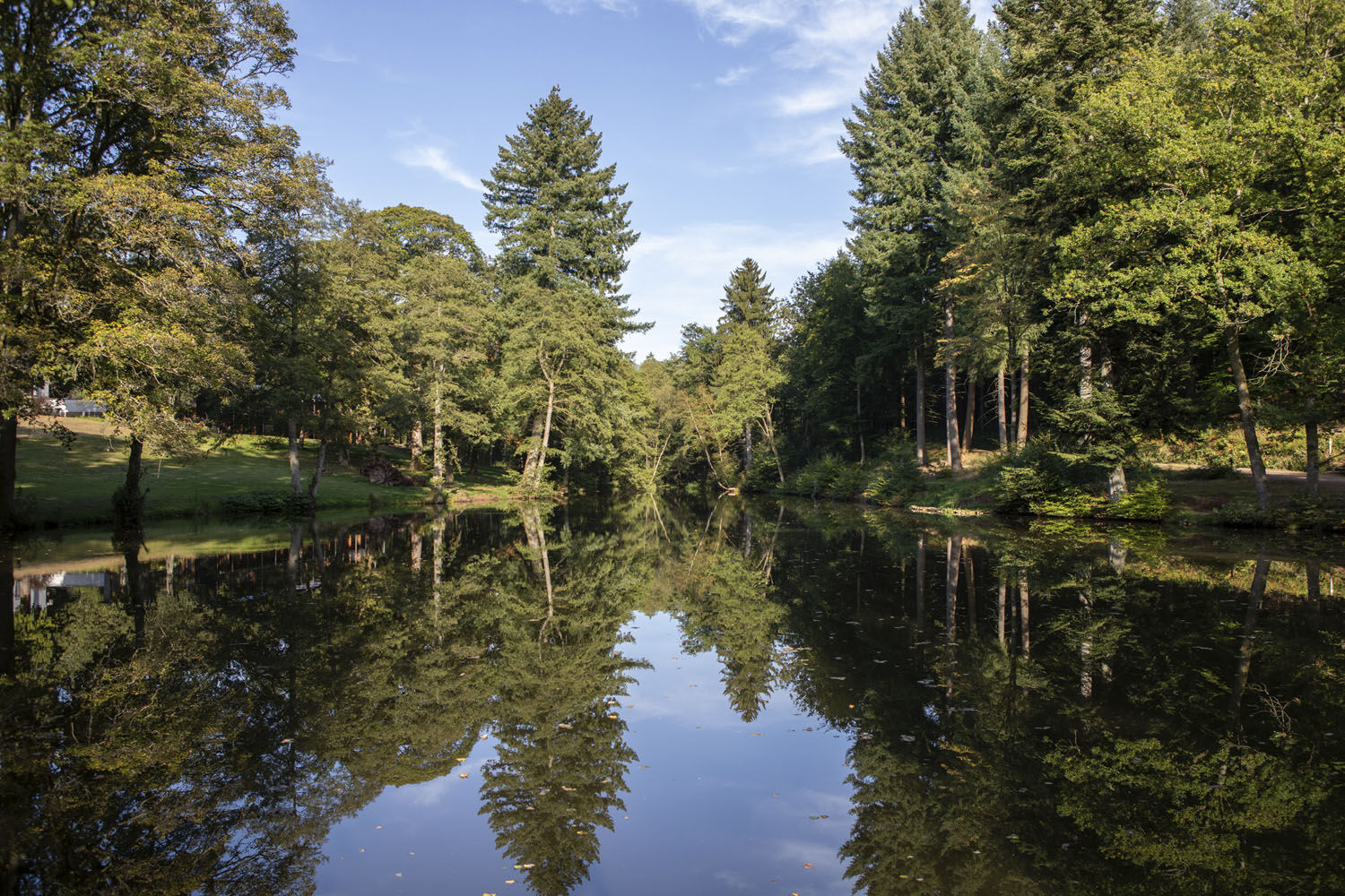
This trail features grand views on the Schaumberger Land region and frequent changes between forest and open country. Don’t miss the old boundary stones marking the border between the former ‘Saargebiet‘ and German Reich which you’ll come across along the way.
- Sværhedsgrad
-
medium
- Evaluering
-
- Rute
-
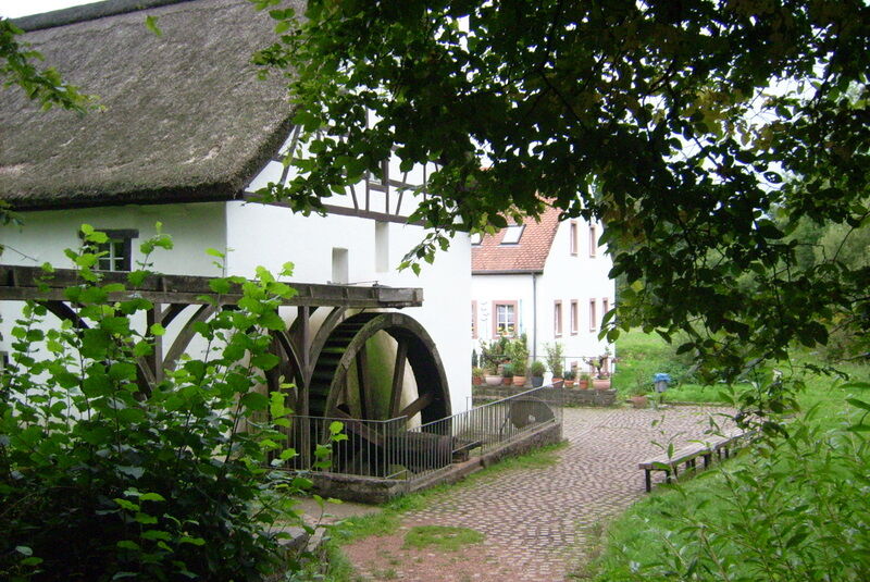
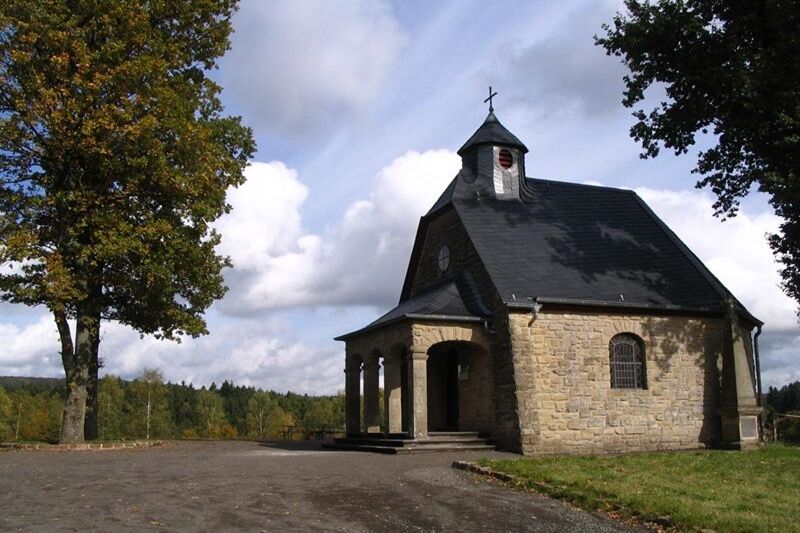
Lapointe0,0 kmImsbachstube0,0 kmHofgut Imsbach0,1 kmBruderborn2,6 kmJohann-Adams-Mühle10,0 kmHofgut Imsbach11,1 kmLapointe11,1 km
- Bedste sæson
-
janfebmaraprmajjunjulaugsepoktnovdec
- Højeste punkt
- 462 m
- Destination
-
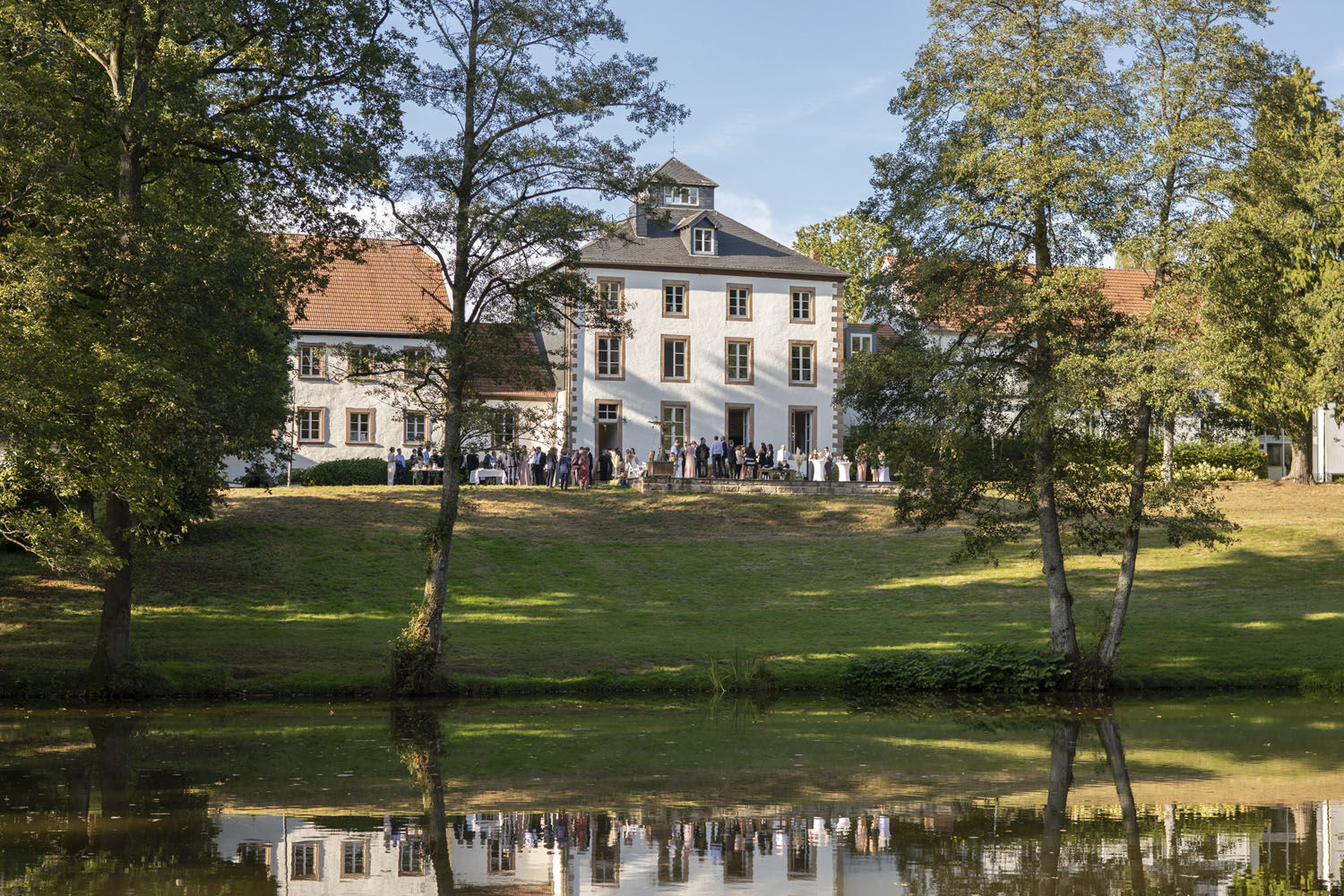
Parkplatz am Hofgut Imsbach
- Højdeprofil
-
 © outdooractive.com

- Forfatter
-
Rundvisningen Officer’s Path bruges af outdooractive.com forudsat.
GPS Downloads


Generel information
Forfriskningsstop
Kulturel/Historisk
Lovende
Flere ture i regionerne