- Kort beskrivelse
-
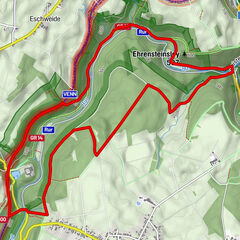
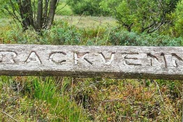
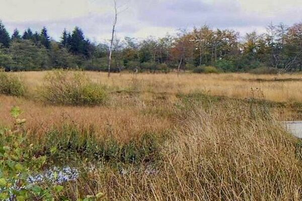
Eine abwechselungsreiche Rundwanderung über Holzstege und Moorpfade durchs Hohe Venn.
- Sværhedsgrad
-
medium
- Evaluering
-
- Rute
-
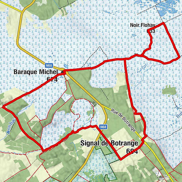
Fontaine Périgny0,6 kmNoir Flohay3,2 kmLe Signal de Botrange8,5 kmSignal de Botrange (694 m)8,6 kmBaltia-Hügel (700 m)8,7 kmMichelshütte (674 m)15,6 kmChapel Fischbach15,7 kmMichelshütte15,8 km
- Bedste sæson
-
janfebmaraprmajjunjulaugsepoktnovdec
- Højeste punkt
- 696 m
- Destination
-
Baraque Michel
- Højdeprofil
-
 © outdooractive.com
- Forfatter
-
Rundvisningen Um die Baraque Michel bruges af outdooractive.com forudsat.
GPS Downloads


Generel information
Forfriskningsstop
Helbredende klima
Flora
Fauna
Lovende
Flere ture i regionerne
-
Eifel/ Rheinland-Pfalz
1056
-
Hohes Venn
601
-
Malmedy
116