© Naheland-Touristik GmbH - P. Bender
© Naheland-Touristik GmbH - P. Bender
© Naheland Touristik GmbH - P. Bender
© Naheland-Touristik GmbH - P. Bender
© Naheland-Touristik GmbH - P. Bender
© 3x3 Salinental - Michael Vesper
© 3x3 Salinental - Michael Vesper
© 3x3 Salinental - Matthias Luhn

© 3x3 Salinental - König
© 3x3 Salinental - Michael Vesper
- Kort beskrivelse
-
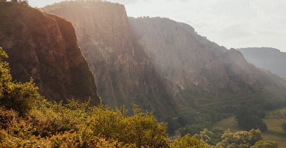
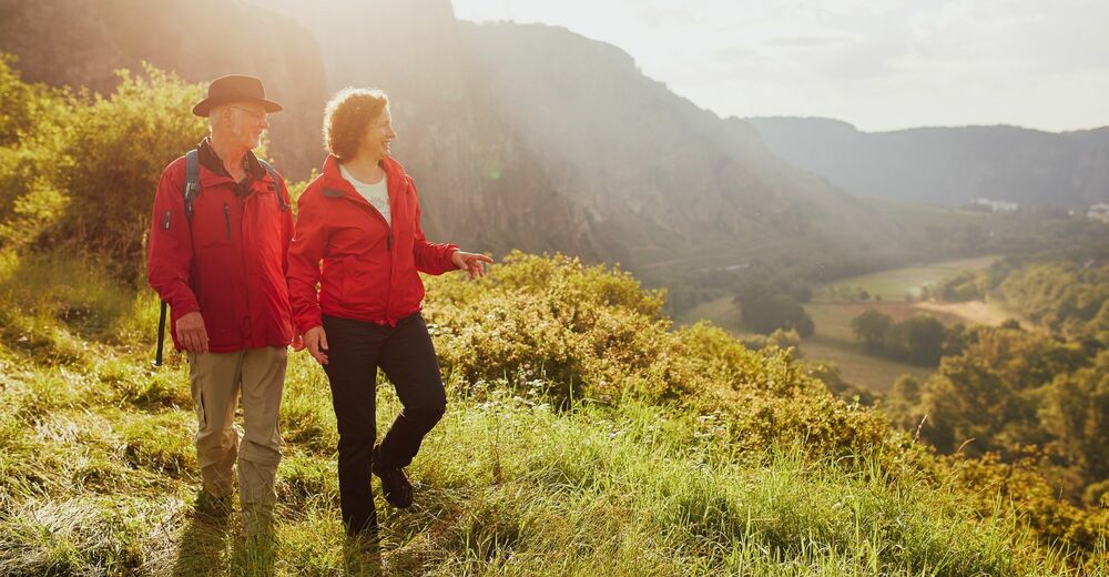
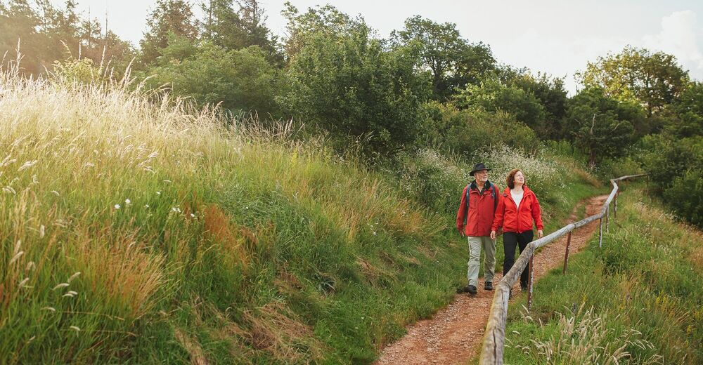
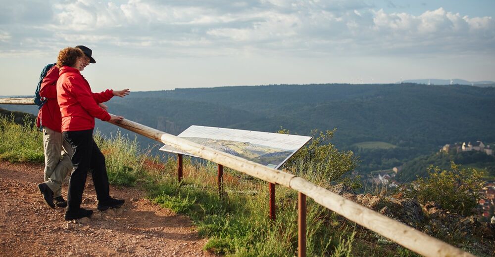
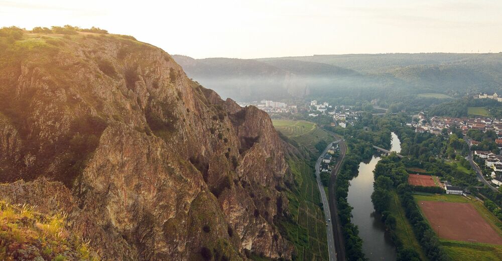
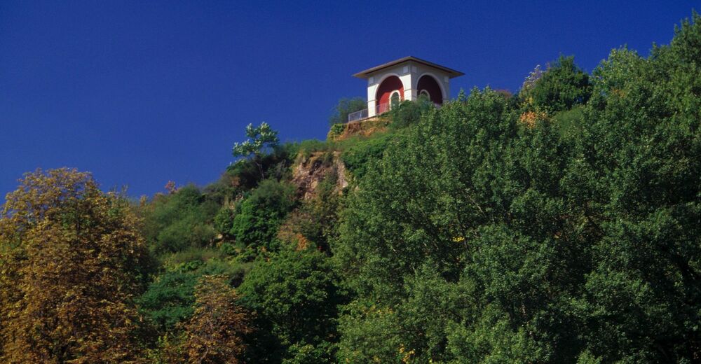
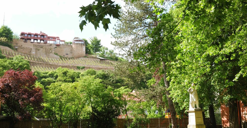
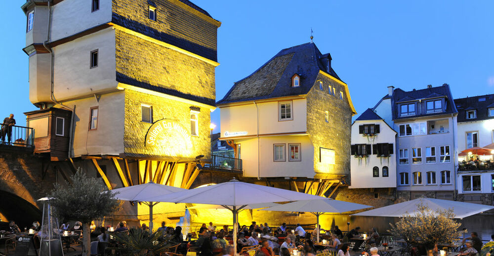
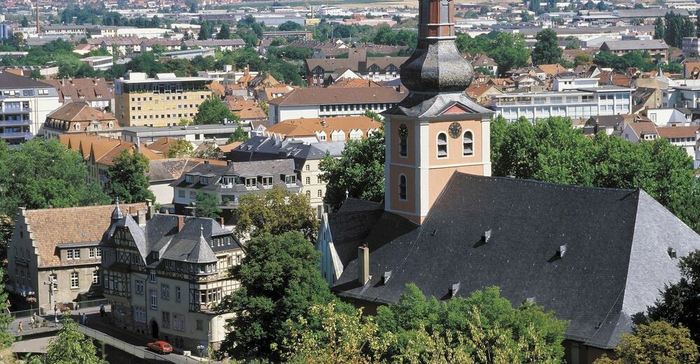
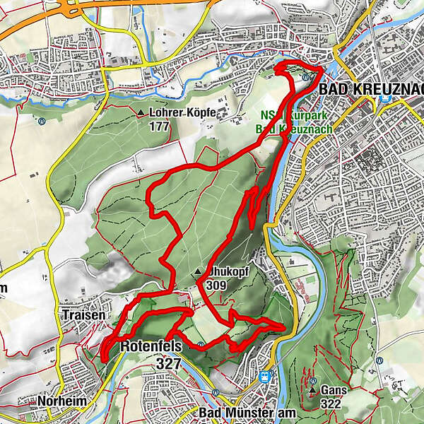
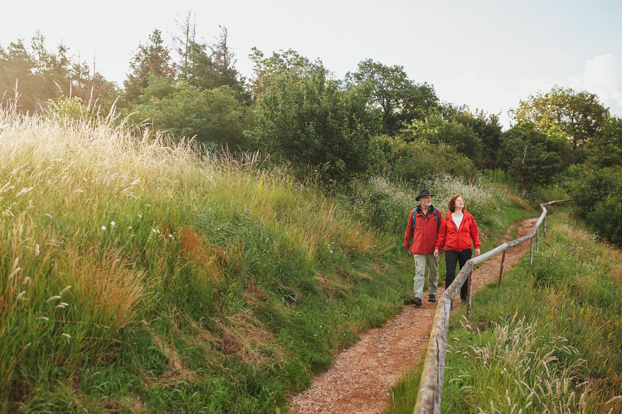
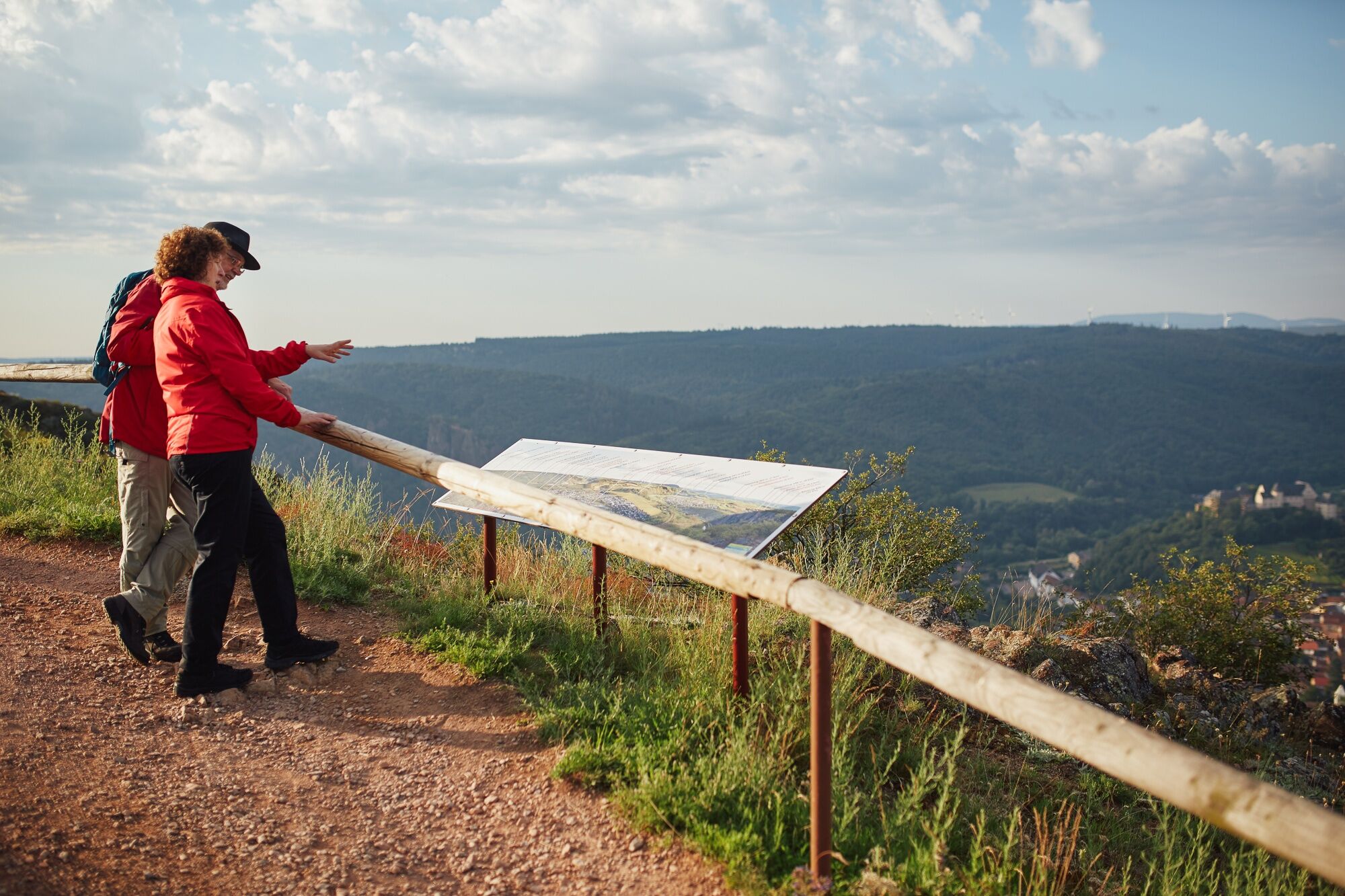
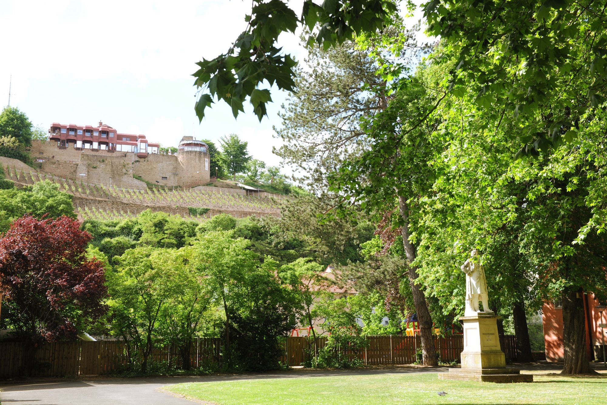
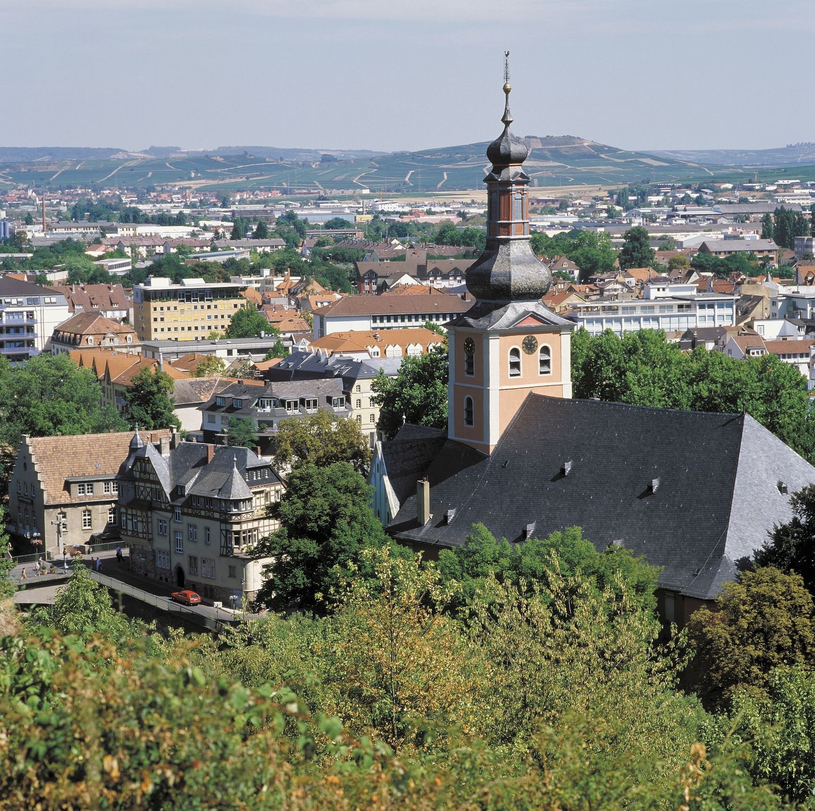
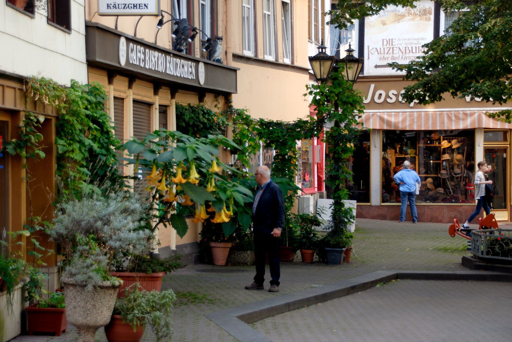
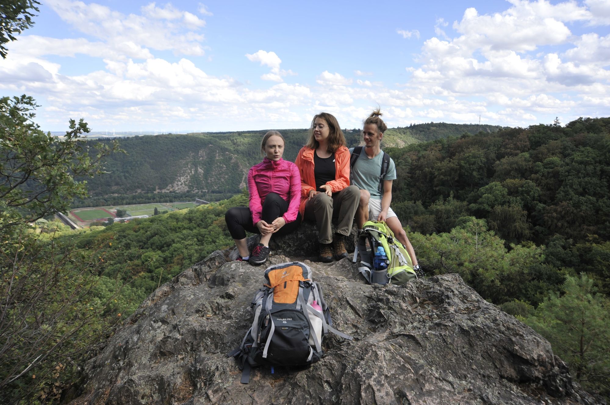
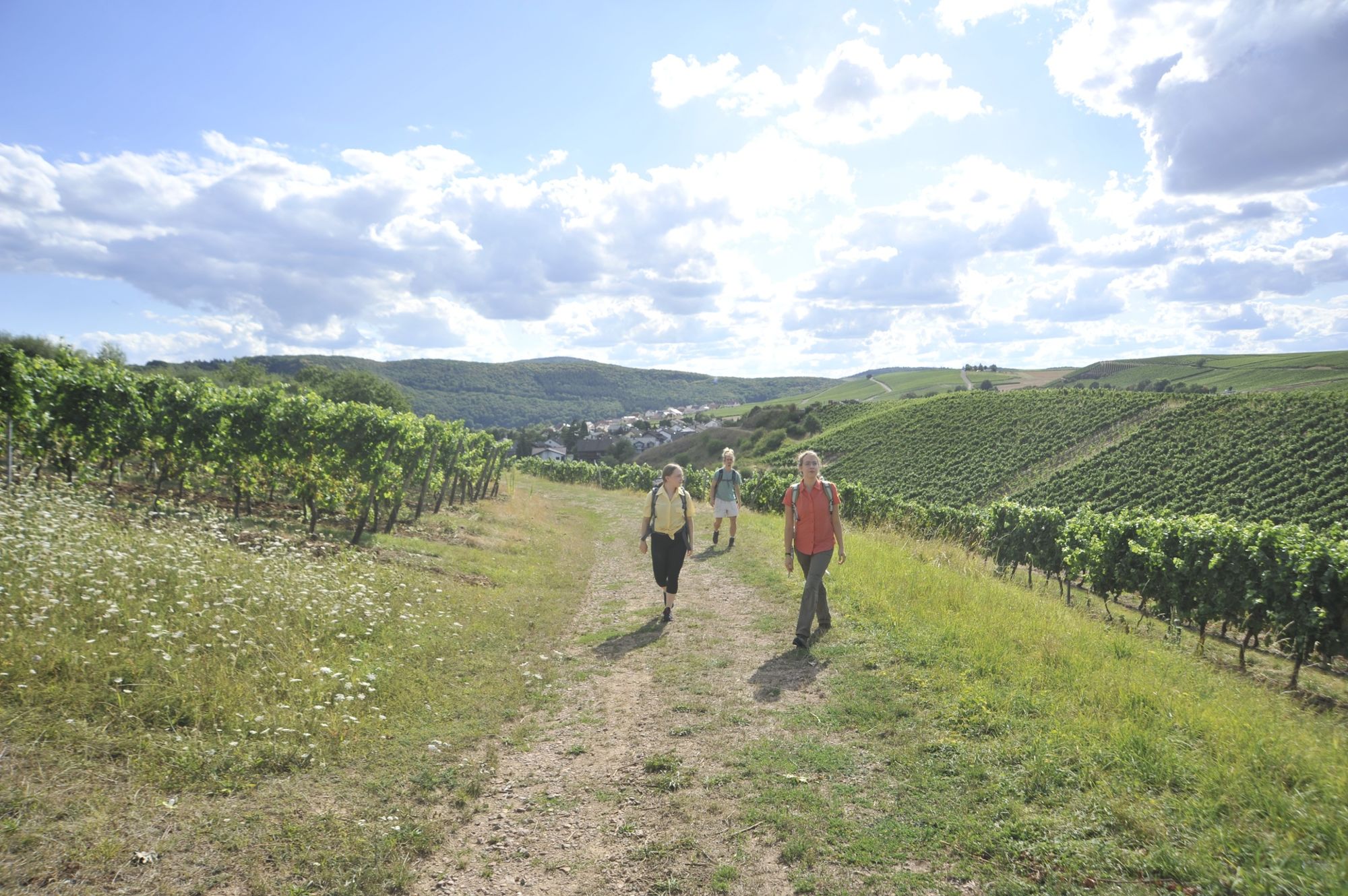
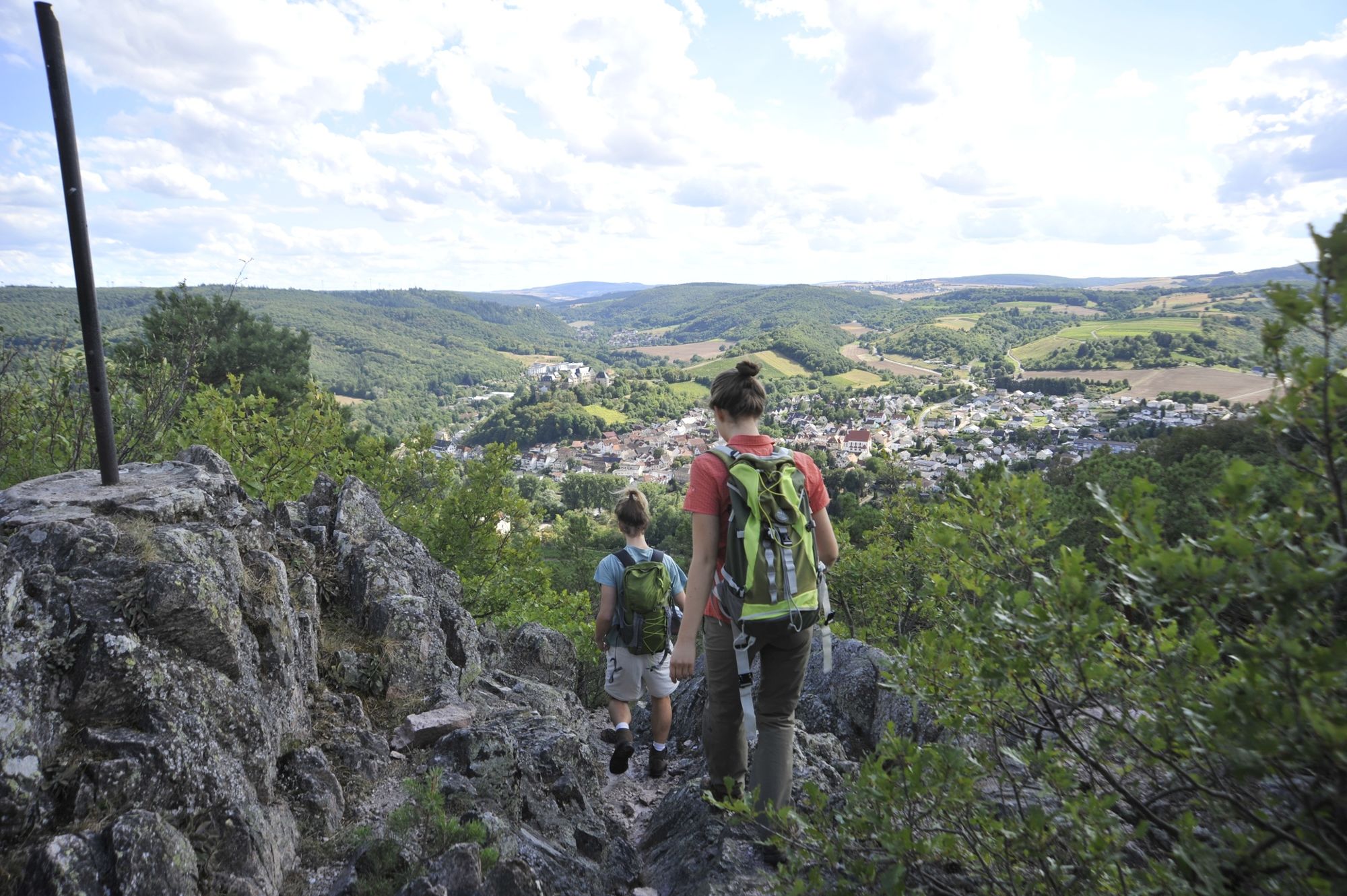
The tour leads from the Rotenfels rock through the city forest to the Kauzenberg and into the new town of Bad Kreuznach. Passing the spa area, the trail leads back to Rotenfels along forest paths.
- Sværhedsgrad
-
tung
- Evaluering
-
- Rute
-
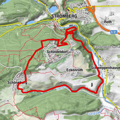
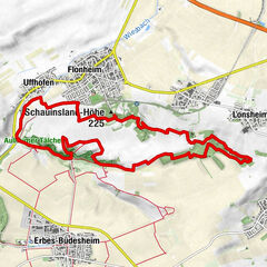
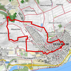
Götzenfelsblick1,5 kmTraisen1,7 kmSchanzenkopf (321 m)3,4 kmDachskopf (277 m)4,3 kmBad Kreuznach (104 m)8,0 kmvan Recums Blick10,9 kmUhukopf (309 m)12,1 kmStegfels13,5 kmRotenfels (327 m)15,6 kmPanoramatafel15,6 kmBastei (300 m)16,1 km
- Bedste sæson
-
janfebmaraprmajjunjulaugsepoktnovdec
- Højeste punkt
- 317 m
- Destination
-
Car park Rotenfels or "Alte Nahebrücke" Bad Kreuznach
- Højdeprofil
-
 © outdooractive.com


- Forfatter
-
Rundvisningen 3x3Salinental: VitalTour Rotenfels bruges af outdooractive.com forudsat.
GPS Downloads


Generel information
Forfriskningsstop
Kulturel/Historisk
Flora
Fauna
Lovende
Flere ture i regionerne