


The 7-Höfe route passes through the typical small farm settlements of the Nordpfälzer Bergland, small hamlets with 10 to 100 inhabitants, whose history dates back to the Middle Ages. It offers magnificent...
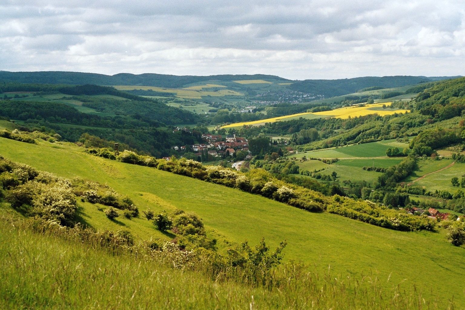
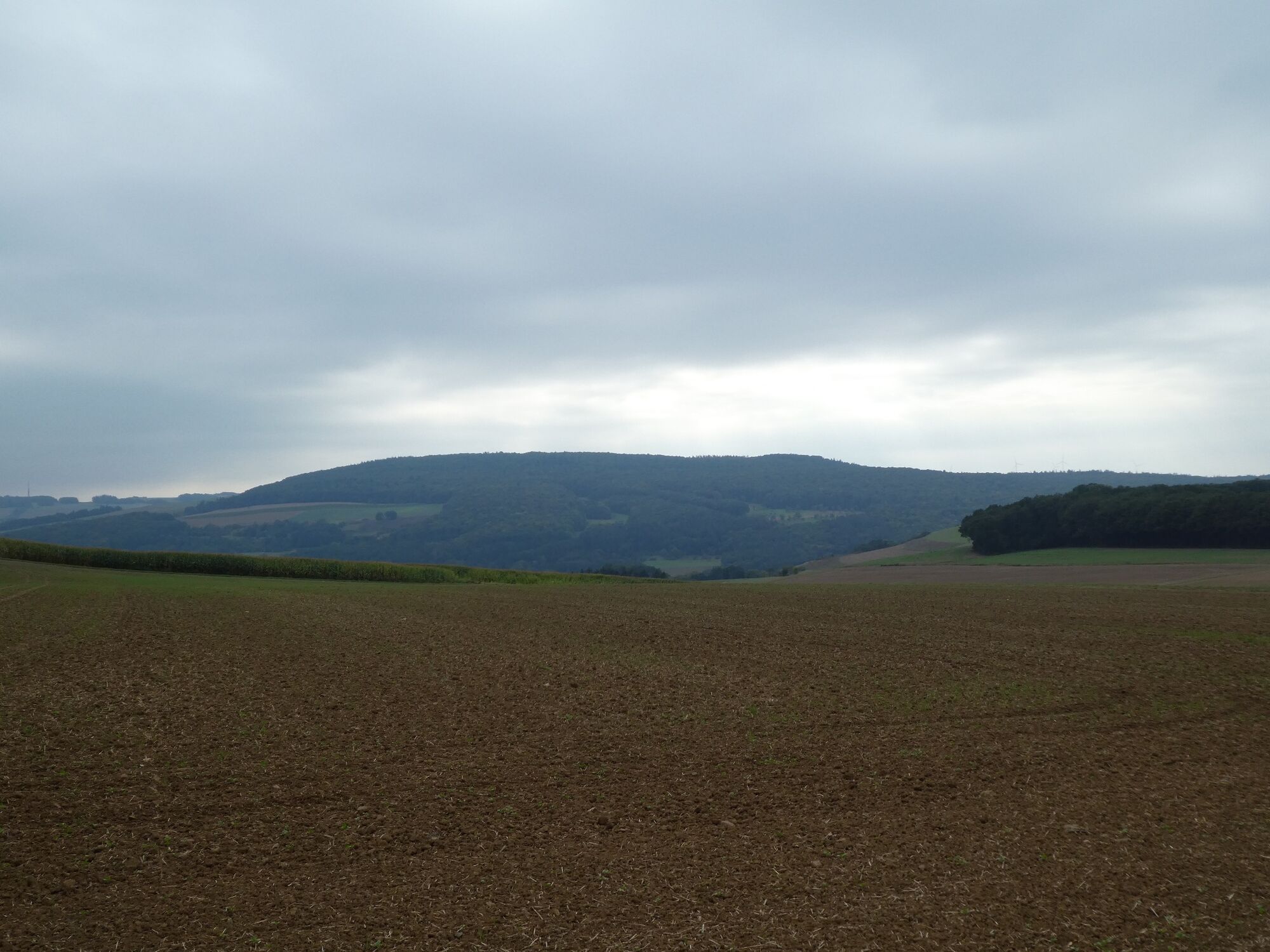
The 7-Höfe route passes through the typical small farm settlements of the Nordpfälzer Bergland, small hamlets with 10 to 100 inhabitants, whose history dates back to the Middle Ages. It offers magnificent panoramic views of the Donnersberg and, between Stolzenbergerhof and Morsbacherhof, also of the rock face of the Rotenfels near Bad Münster am Stein. At 202 meters, this is the highest steep rock face north of the Alps. The starting point of the circular hike is the Schmalfelderhof. From there, the route leads on the ridge between the Alsenz and Appeltal valleys over Leiningerhof, Hengstbacherhof, Hofherhof, Stolzenbergerhof, Morsbacherhof, and Bremricherhof back to the starting point.


The 7-Höfe route is designed as a circular path and is signposted in both directions. The signage consists of a white sign with black lettering and the abbreviation "7-H-T".
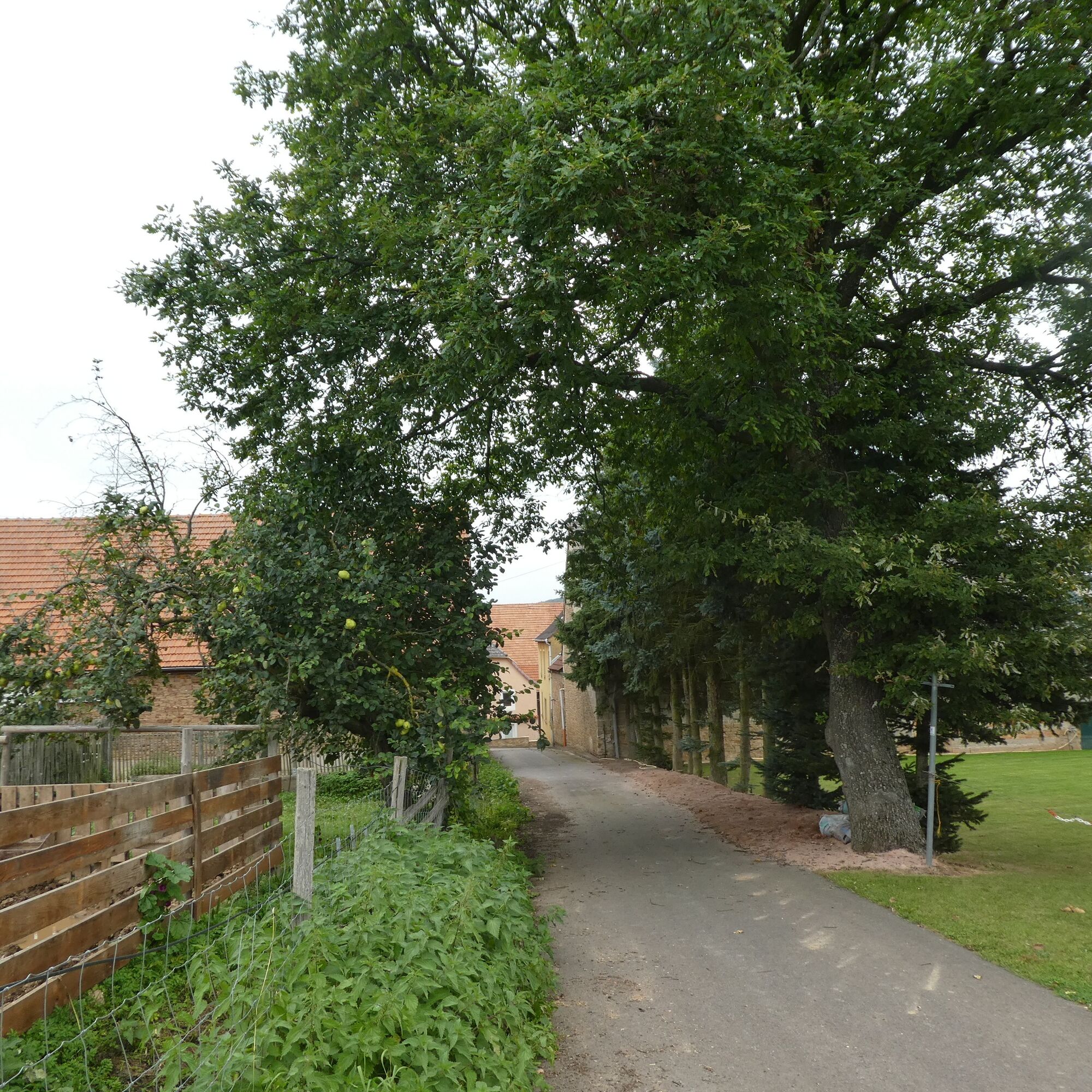
We start our hike at the Hengstbacherhof in front of the information board for the route, which is attached to a wall on the right side of Hofstraße. We follow the road and, after a few meters, turn right following the signpost. On an asphalt road between the houses, we quickly leave the farm behind and follow a gravel field path straight ahead into the open field.
At the first crossroads, we follow the signpost to the left. After about 500 meters, a shortcut to the right leads off – the 4-Höfe route. However, we follow the sign straight ahead towards the Hoferhof.
We pass through the village and turn right before the last house. We leave the farm behind and follow the slightly ascending, asphalted path until the view opens up into the valley in front of us.
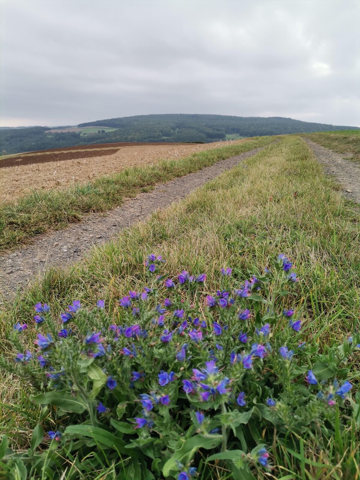
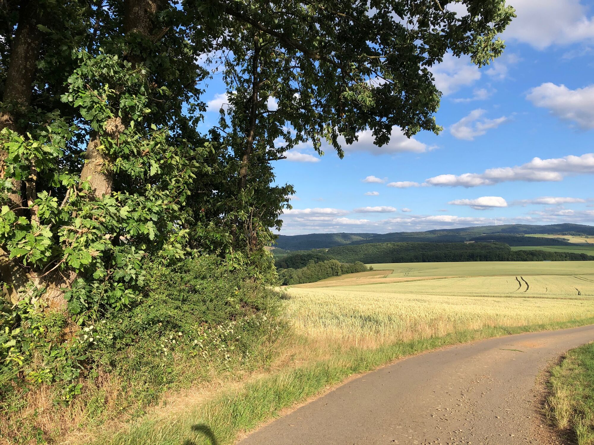
Continuing straight ahead, we turn left at the next signpost onto a narrow field path that offers great views of the surrounding villages.
The path makes a right curve, past an old boundary stone, leading us to a hill. Past a paragliding launch site, the path at the next signpost turns left.
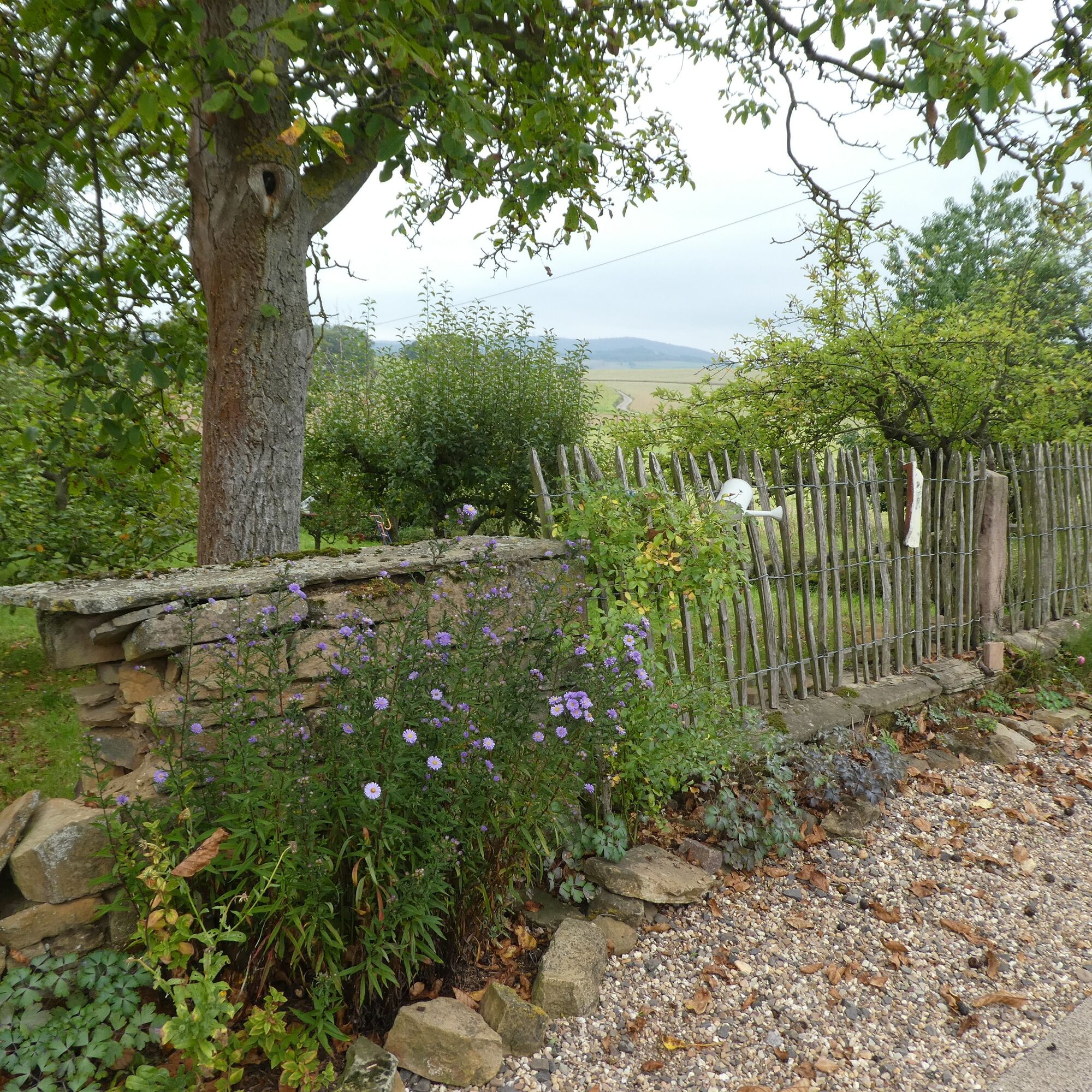
Gently downhill, the route turns right at the next signpost and now runs for about 1.5 km along the Stolzenberger Hang. To the left, there is a panoramic view. A bench invites you to pause.
After a left curve through the forest, we reach an asphalt road, where we turn right towards the Stolzenbergerhof.
At a fork, you can now either follow the signpost directly left towards Morsbacherhof or take a small detour and go straight towards "Schöne Aussicht" (Beautiful View). In this case, you pass a small settlement of a few houses (Stolzenberg 1-3), follow the road past an old tree (natural monument) to the next signpost, which points right to the viewpoint. After an easy and short ascent, it goes past a barrier into the Stolzenberg Nature Reserve and the "Schöne Aussicht" viewpoint, where two benches invite you to rest with a magnificent view of Bayerfeld-Steckweiler.
If we stay on the main route, the path turns left as described and gently downhill until we reach the sports field in Mannweiler-Cölln. At the following intersection, we turn left and then right. Morsbacherhof is already visible.
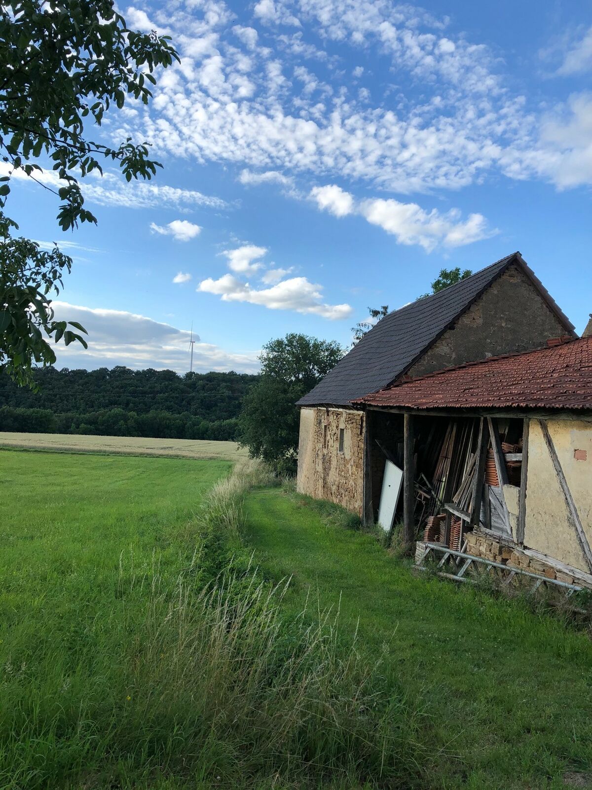
We follow the road through the peaceful village and leave it on a gravel path that passes pasture areas.
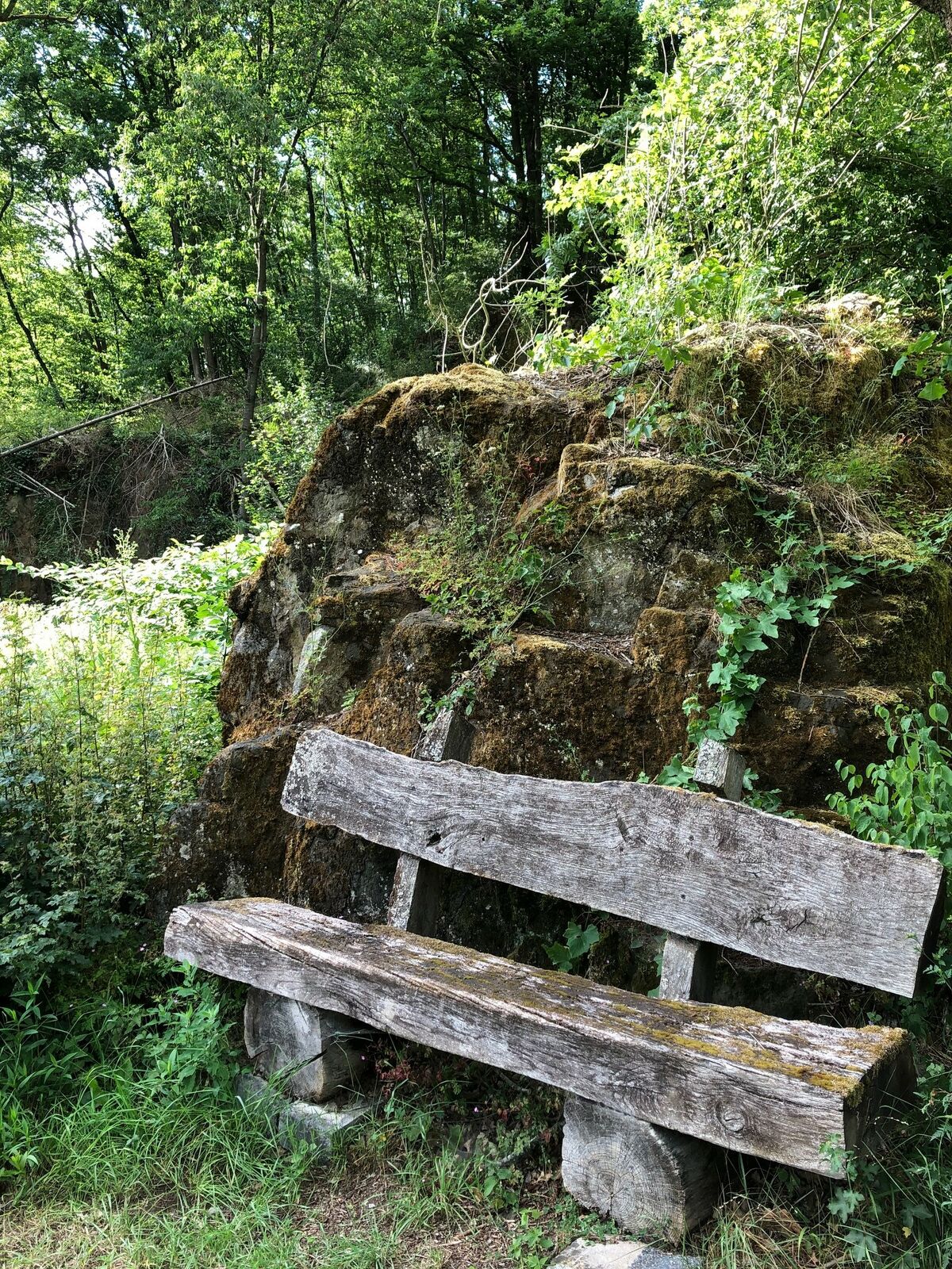
On the left side, a seating area appears in front of an impressive rock formation. After it, you follow the route to the right. The following section winds as a meadow path to the left, then becomes quite steep for a short stretch. The ascent leads through a shady little forest.
Once you leave this, you walk between fields on a grass path for just a few hundred meters to reach the Bremricherhof. We turn left and pass house number 4, a beautifully renovated half-timbered house, which is probably the oldest on the farm.
Here, the shorter 4-Höfe route also merges again with the 7-Höfe route.
We leave the village on an asphalt road, which we leave after a left curve onto a forest path. Under the trees, the path leads to a clearing, where the signpost directs us to the right, towards Schmalfelderhof.
We are led through the forest, with the Elzer Graben far below to the right. To the left we reach the Schmalfelderhof.
There we follow Brunnenstraße and soon turn right into Friedhofstraße. There, the Ilo Jung pottery invites you to visit. At the next T-junction, signs direct us to the right. The path leads through Leiningerhof.
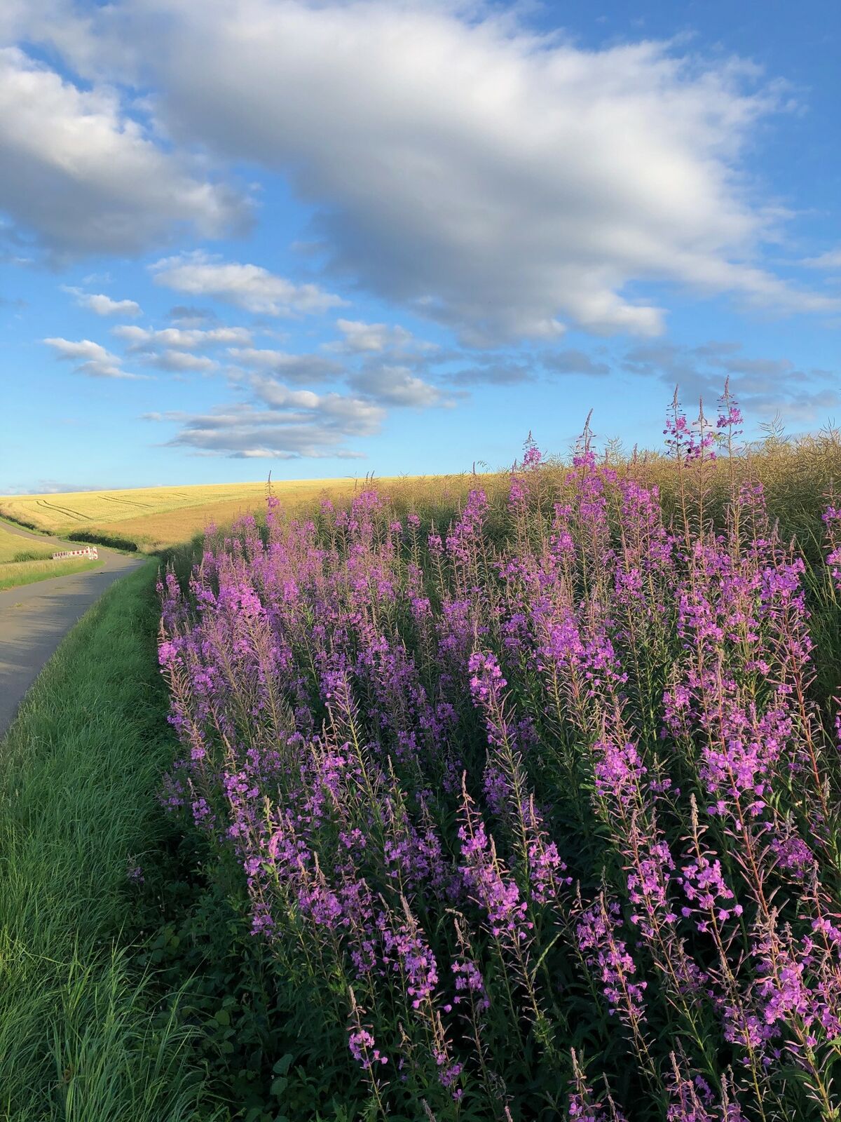
After the village, there is again a wide view of the surrounding area, which can also be enjoyed on a bench. After about 150 meters, we switch to a field path with a gentle ascent on the left and pass an old water house.
The last few meters go steeply downhill on an asphalt route before we reach the starting point of our hike, Hengstbacherhof.
Ja
Sturdy footwear and suitable clothing as well as provisions, as there is unfortunately no opportunity to dine along the way.
In summer, bring enough drinks and sun protection; for cooler seasons, don't forget scarf and hat, as the route mostly goes over open areas.
From Mainz via A 61 and B 420, then country or district road
At the street in the center of Hengstbacherhof or in the parking lot of Stiftung Lebensraum (outside opening hours)
Populære ture i området
-
Palatinate Ridgeway Stage 02 Dannenfels - Bastenhaus
MediumLangdistance-vandresti 15.2 km -
Pfälzer Höhenweg complete route
MediumLangdistance-vandresti 114.9 km -
Pfälzer Höhenweg Stage 01 Winnweiler-Dannenfels
MediumLangdistance-vandresti 16.6 km -
Palatinate High Trail Stage 05 Obermoschel - Meisenheim
MediumLangdistance-vandresti 12.9 km -
Glan-Blies cycle path - Stage 5 (Meisenheim - Staudernheim)
lysLangdistance-cykelsti 12.8 km -
Palatinate Heights Trail Stage 06 Meisenheim - Lauterecken
lysLangdistance-vandresti 15.3 km -
Rund um Dannenfels
MediumVandring 14.7 km -
Katzenbacher Höhenweg
MediumVandring 12.6 km -
Drehenthaler Hof Trekking: Site 11 Drehenthaler Hof to Site 10 Imsbach
MediumVandring 14.2 km -
Ausbacherhof - Schloß Veldenz in Lauterecken - Veldenz-Wanderweg – Stage 5 (Leading-Quality-Trail - Best of Europe)
tungLangdistance-vandresti 14.5 km
Vandring og sporing


Gå ikke glip af tilbud og inspiration til din næste ferie
Din e-mailadresse er blevet tilføjet til mailinglisten.