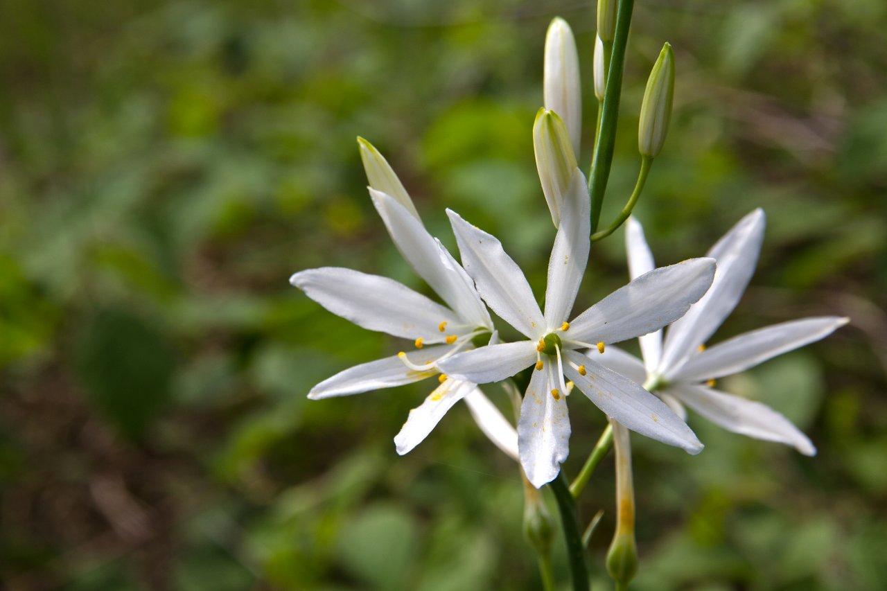
© Eifelverein e. V. - Hans-Eberhard Peters

© Eifelverein e. V. - Hans-Eberhard Peters

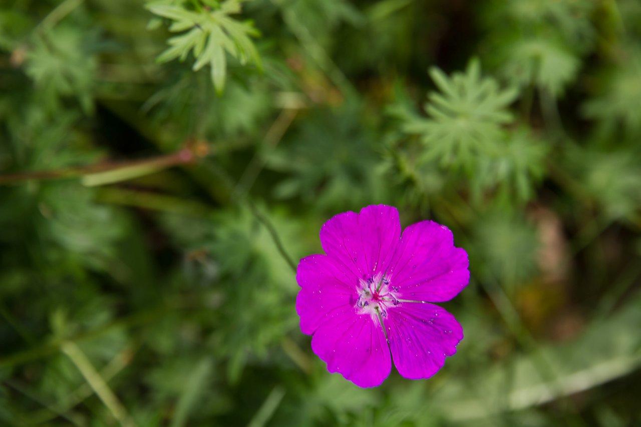
© Eifelverein e. V. - Ursula Peters

© Eifelverein e. V. - Hans-Eberhard Peters

© Eifelverein e. V. - Ursula Peters

© Eifelverein e. V. - Hans-Eberhard Peters

© Eifelverein e. V. - Hans-Eberhard Peters

© Eifelverein e. V. - Hans-Eberhard Peters

© Eifelverein e. V. - Hans-Eberhard Peters

© Eifelverein e. V. - Hans-Eberhard Peters
- Kort beskrivelse
-
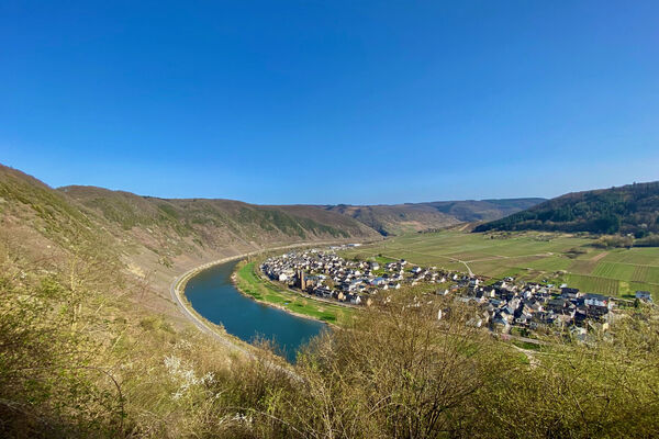
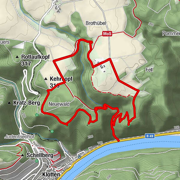
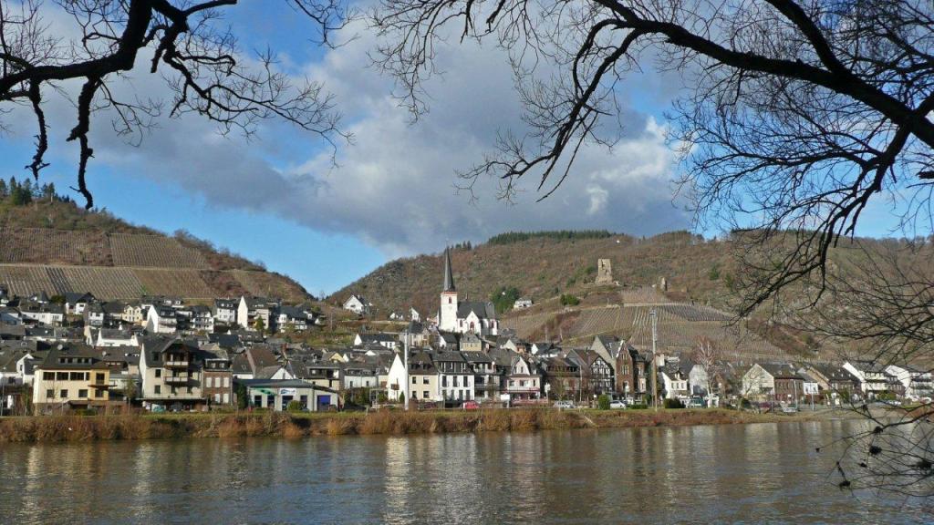
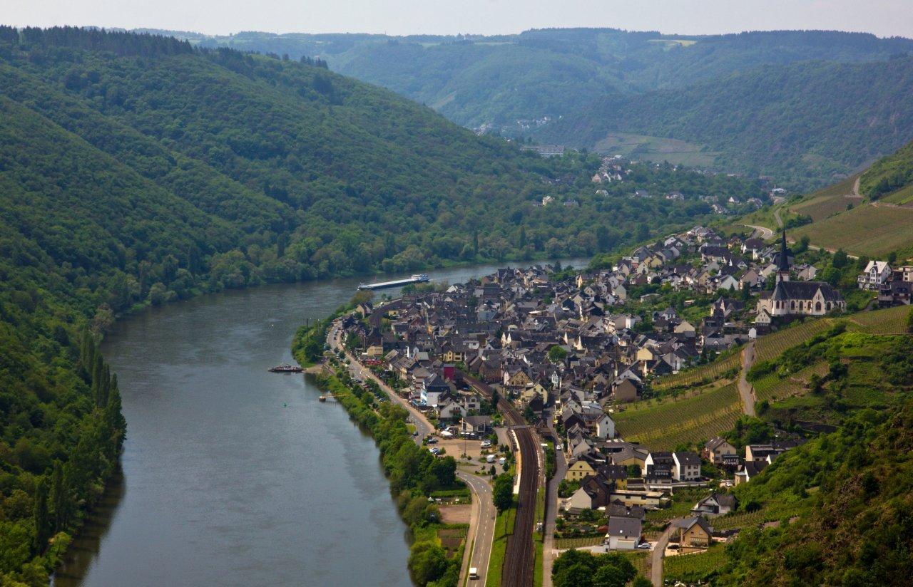
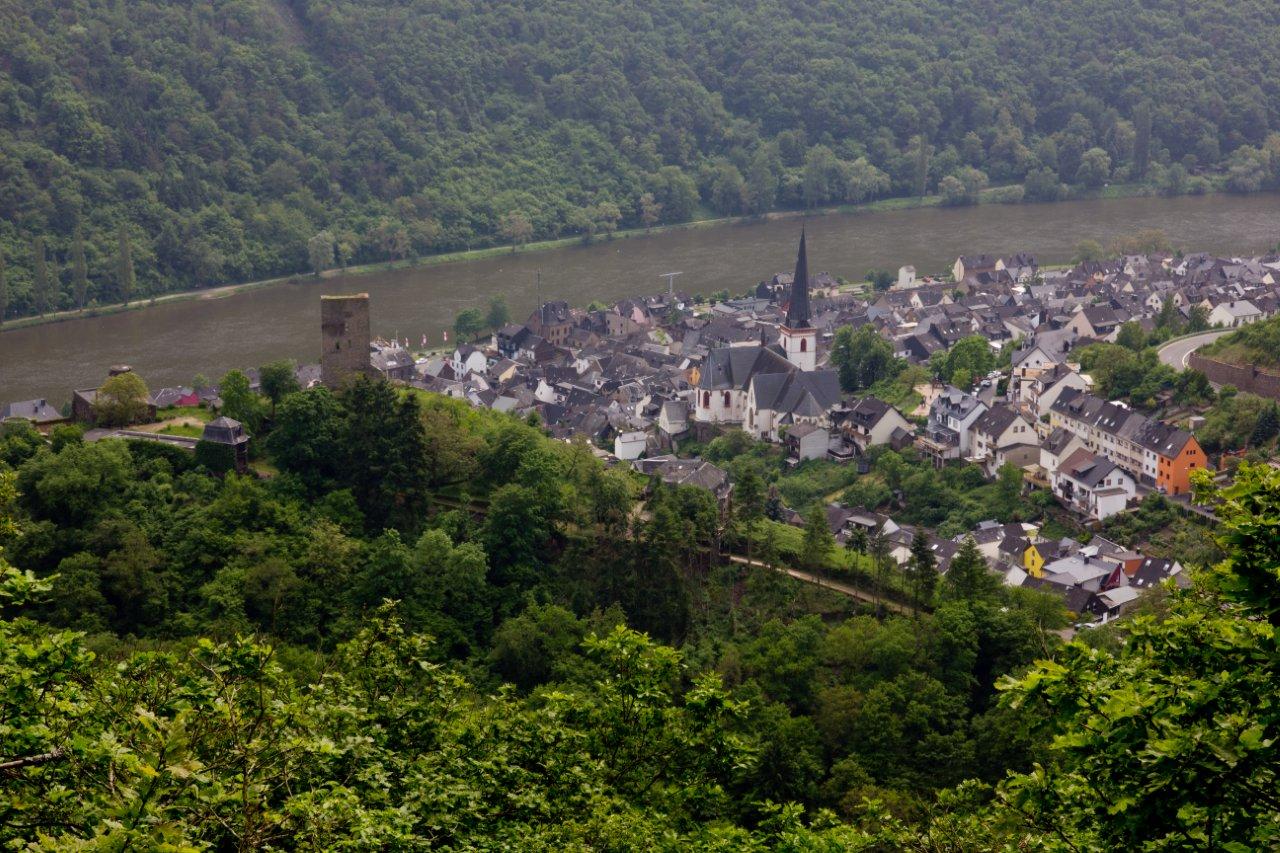
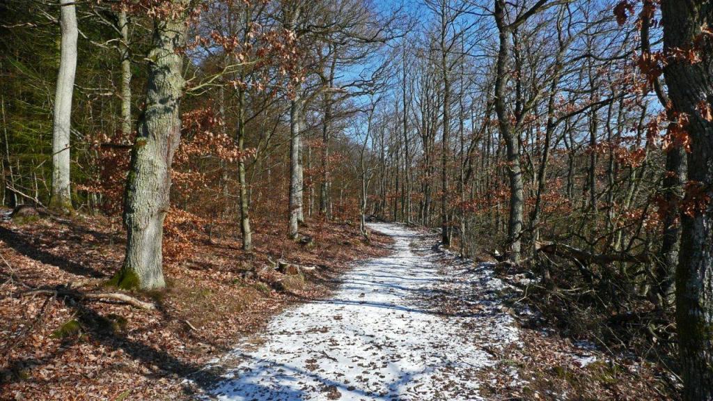
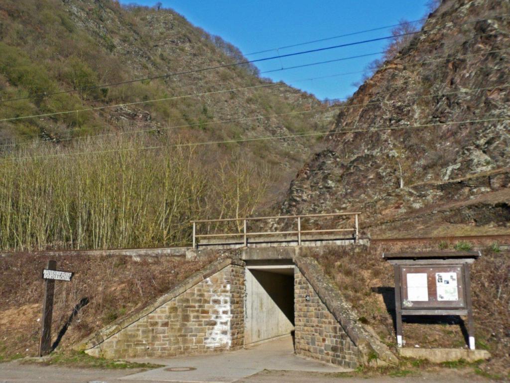
Wanderung aus dem Moseltal durch das Naturschutzgebiet Dortebachtal.
- Sværhedsgrad
-
medium
- Evaluering
-
- Rute
-
Off'm Kasteschkopp1,0 kmDortebach Wasserfall6,1 km
- Bedste sæson
-
janfebmaraprmajjunjulaugsepoktnovdec
- Højeste punkt
- 315 m
- Destination
-
Startpunkt
- Højdeprofil
-
 © outdooractive.com


-

-
ForfatterRundvisningen Dortebachtal bruges af outdooractive.com forudsat.
GPS Downloads


Generel information
Insider-tip
Flere ture i regionerne
-
Mosel-Saar
1078
-
Ferienland Cochem
581