- Kort beskrivelse
-
"The opportunity to enjoy a magnificent landscape in the peace and quiet, to leave everyday life and all creature comforts behind, to travel with only the essentials on your back and to immerse yourself in the simplicity and mindfulness of being".
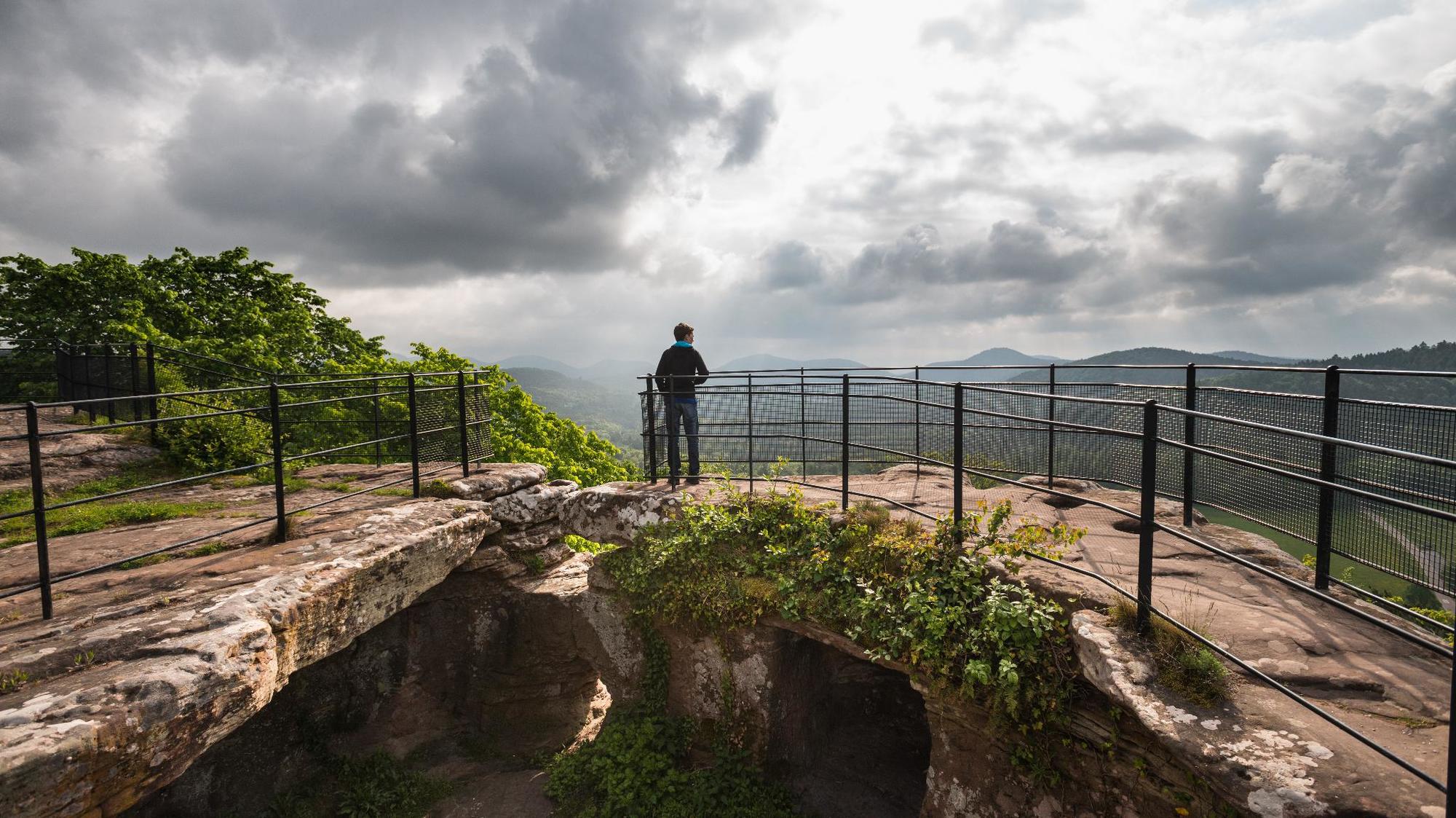
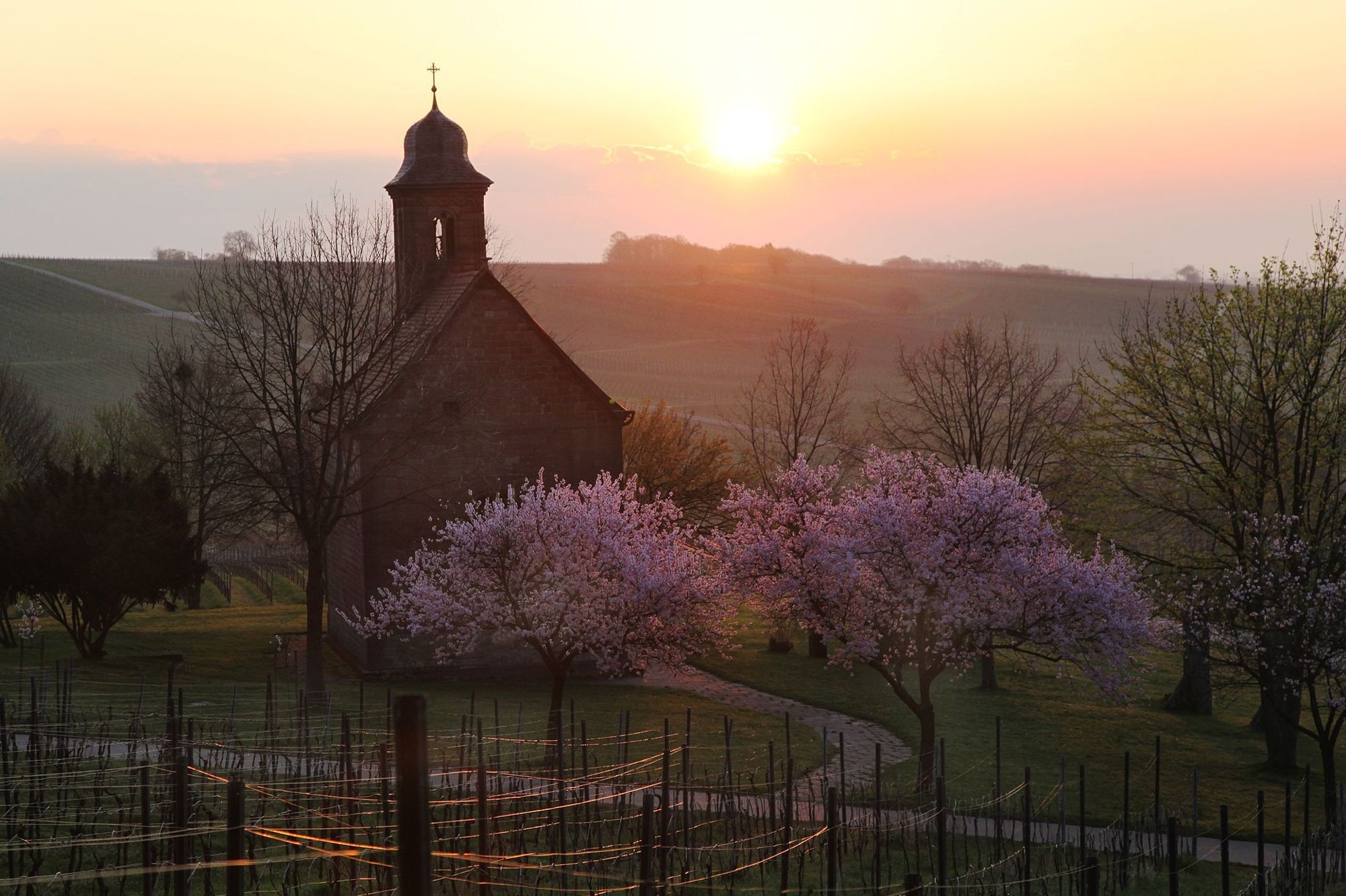
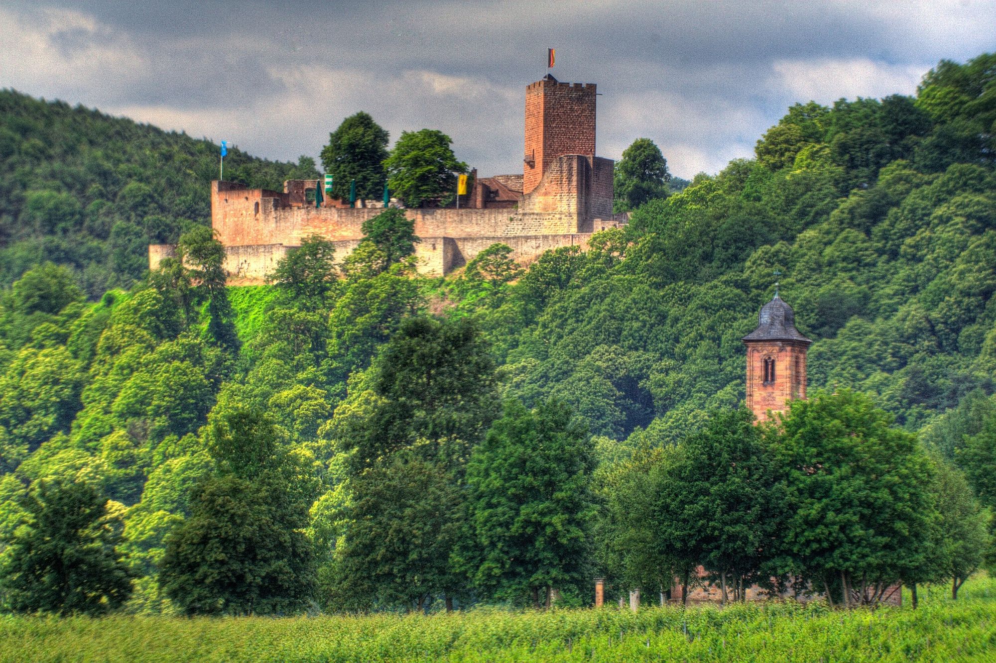
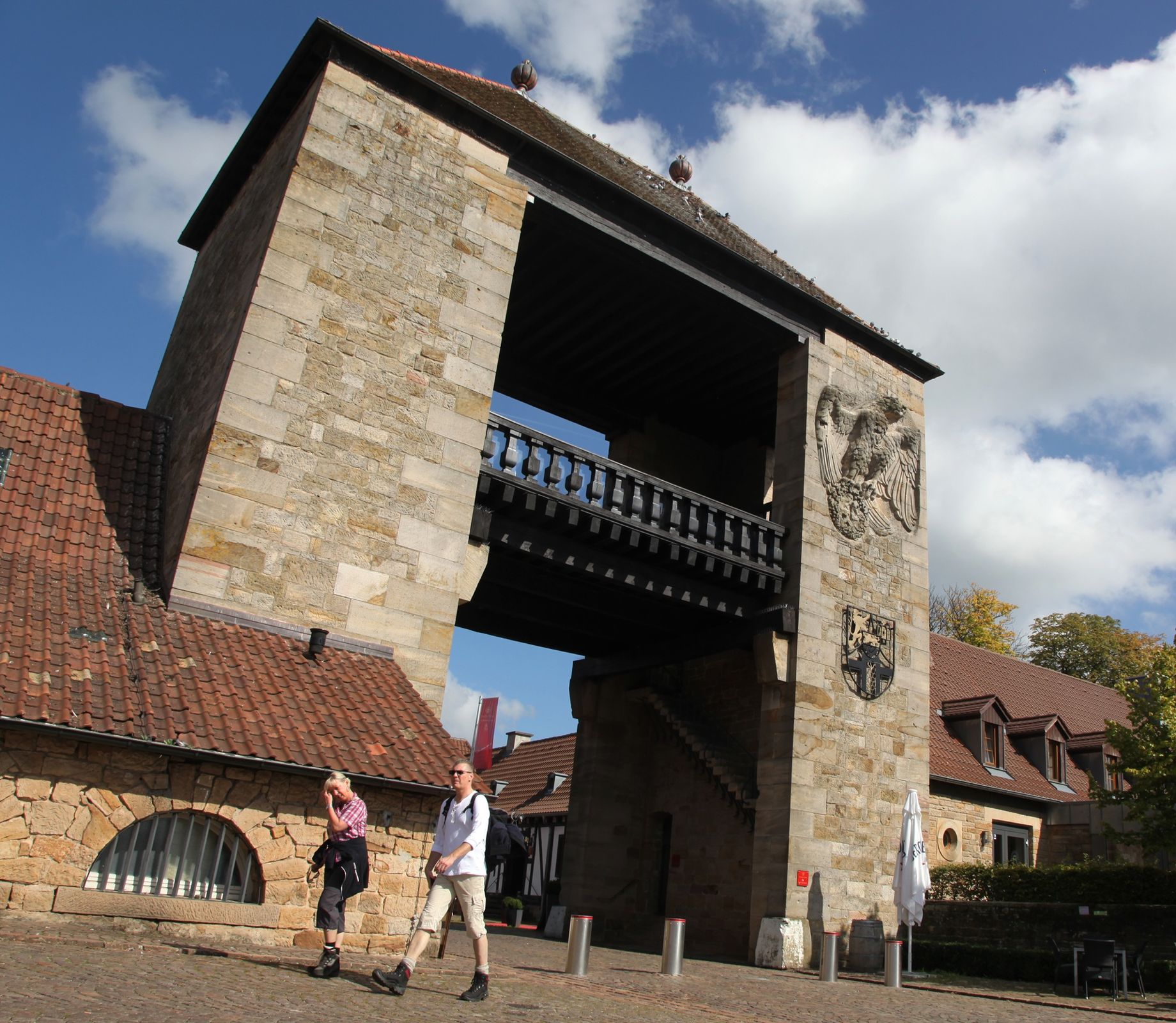
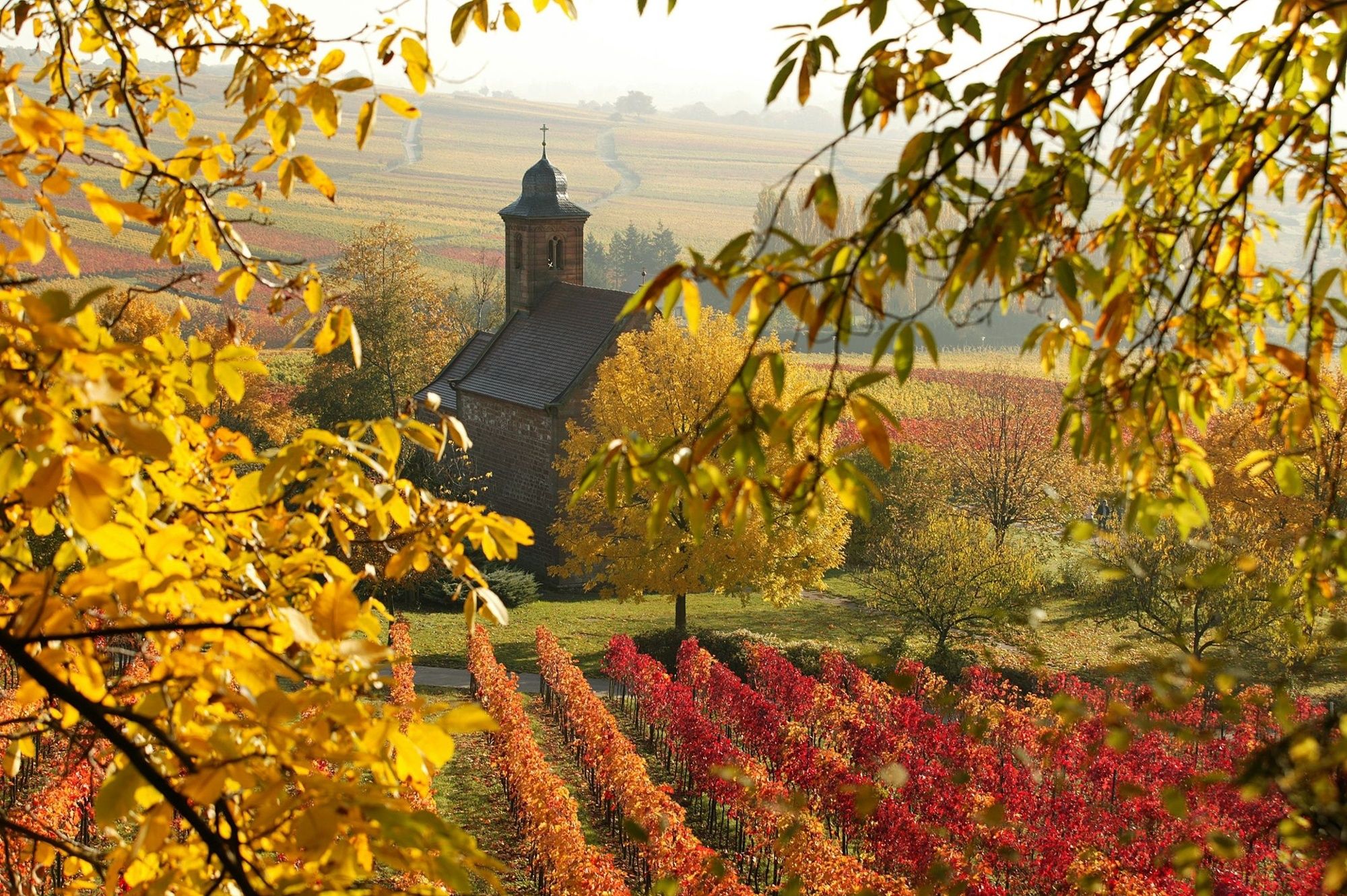
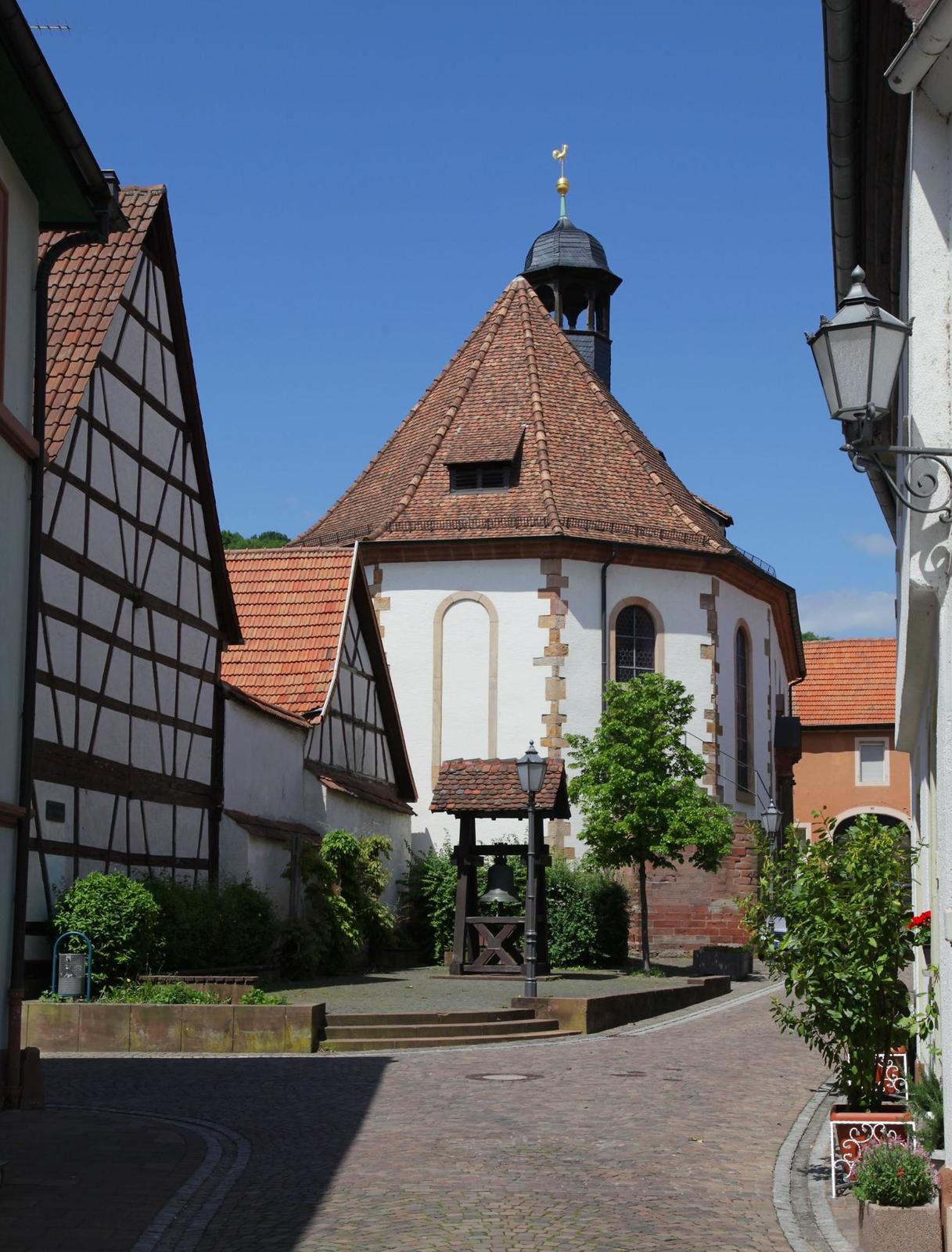
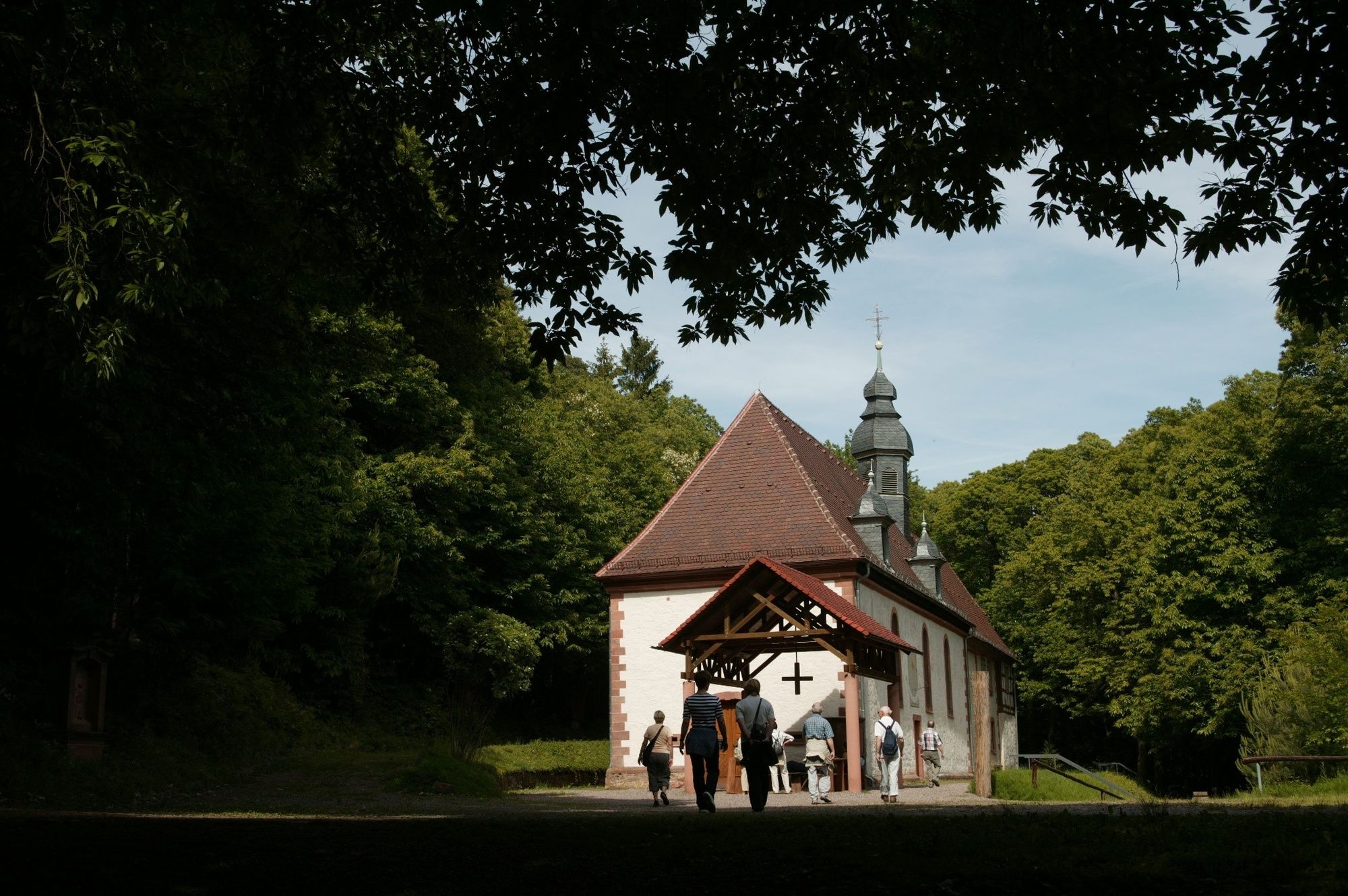
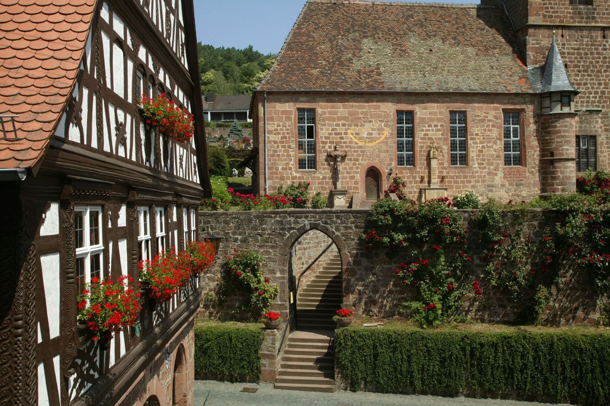
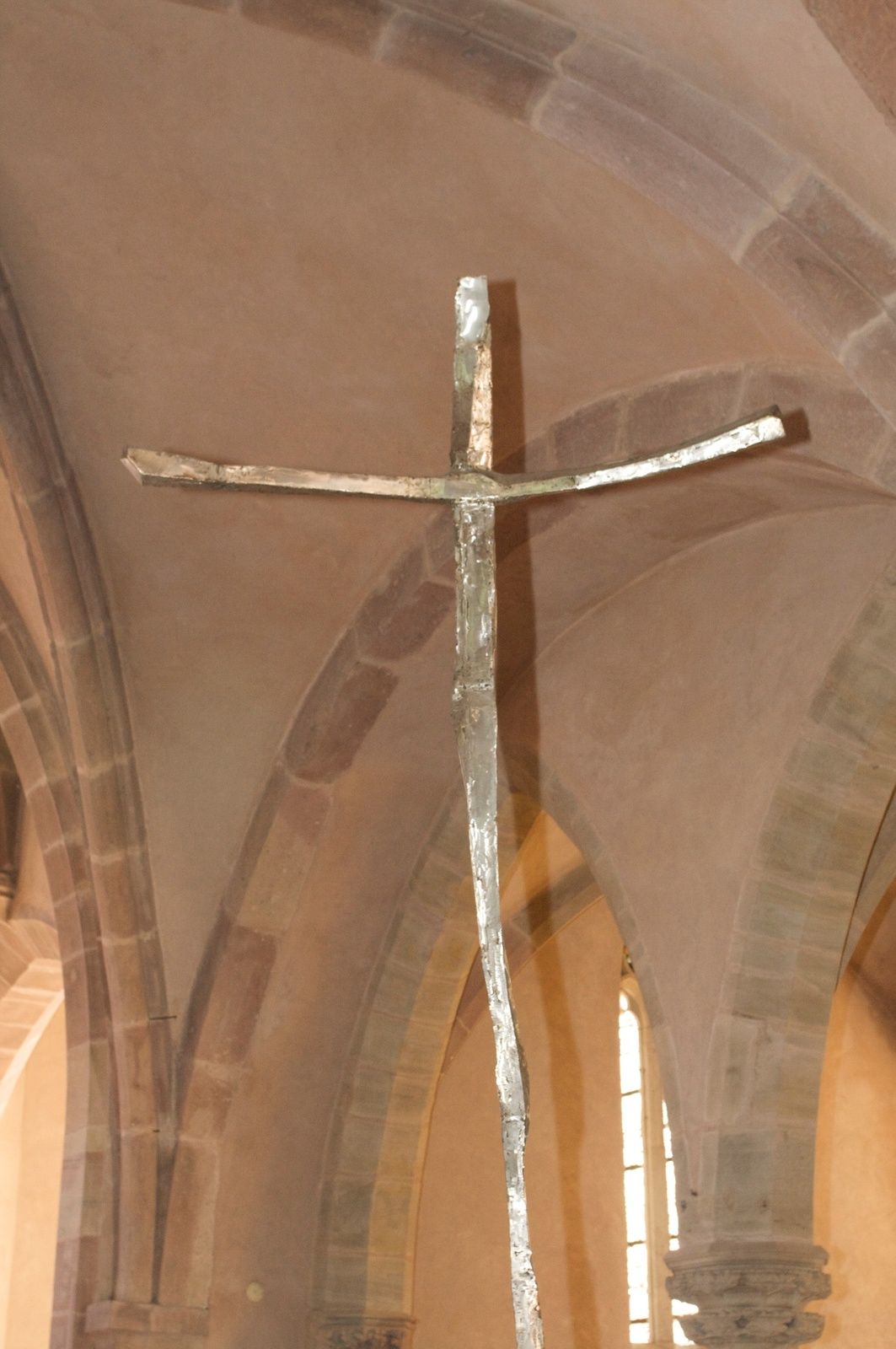
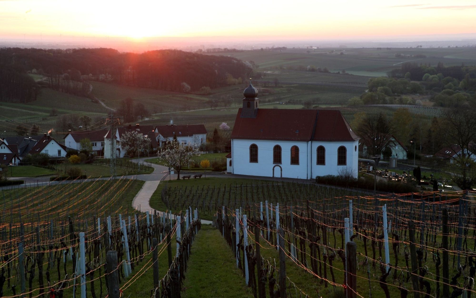
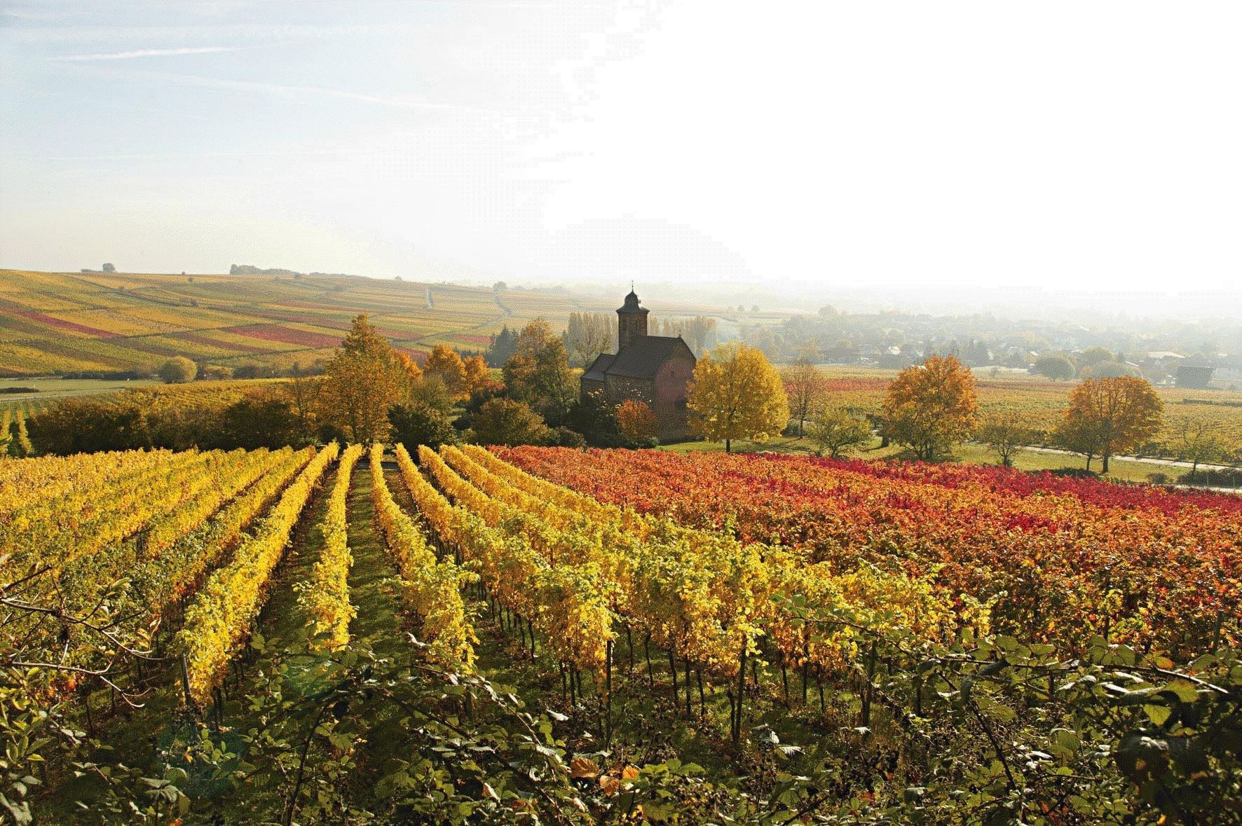
- A pilgrimage is more than just walking: It is a path inwards – to oneself. We will immerse ourselves in the charming landscape of the Southern Wine Route and the Palatinate Forest. The chapel pilgrimage trail touches on churches and chapels that invite you in to experience tranquillity and reflection and crosses charming landscapes between deep forests and a sea of vines! We will enjoy wonderful views, delight in castles and towers, right into nearby France (Alsace). Father Unkrich, the initiator of this path of mindfulness, sees this as liberation for the pilgrim, who is brought back to themselves. "Just enjoy the silence, smell the forest and, through this, discover your own oasis! If nothing else works – then walk!".
- Sværhedsgrad
-
tung
- Evaluering
-
- Rute
-
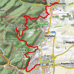
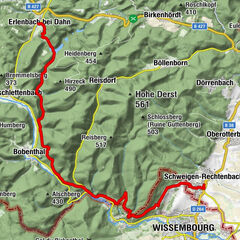
Bad Bergzabern0,6 kmPleisweiler3,5 kmGleiszellen-Gleishorbach (216 m)5,2 kmAm Seicheneck6,6 kmGleiszellen-Gleishorbach (216 m)10,4 kmEv. Kirche11,1 kmZum Lam11,3 kmWeinlokal Muskatellerhof11,4 kmProtestantische Kirche Klingenmünster12,7 kmKlingenmünster (168 m)12,8 kmNikolauskapelle13,7 kmJohanna-Quelle13,9 kmWasgaublick20,0 kmAbtskopf (486 m)21,7 kmSilzer Linde (372 m)23,8 kmWaldgaststätte Cramerhaus28,5 kmLindelbrunn28,5 kmOberschlettenbach (250 m)31,3 kmVorderweidenthal34,0 kmBethof36,7 kmNaturfreundehaus Bethof36,7 kmLauterschwan37,3 kmBreitenberg (410 m)42,6 kmHirzeck (490 m)44,4 kmHirzeckhaus45,2 kmSchillersbrunnen47,4 kmSankt Germanshof54,6 kmCarrefour de Langenberg (227 m)57,0 kmBannholz (250 m)58,3 kmProtestantische Kirchengemeinde61,1 kmAlfred-Wasner-Platz62,3 kmSchweigen-Rechtenbach62,7 kmKanzelberg (532 m)69,2 kmFarrenberg (489 m)70,5 kmStäffelsberg (480 m)72,0 kmKolmerkapelle73,4 kmKöhlerbrunnen73,5 kmDörrenbach74,4 kmBad Bergzabern77,1 km
- Bedste sæson
-
janfebmaraprmajjunjulaugsepoktnovdec
- Højeste punkt
- 502 m
- Destination
-
Rundwanderweg, verschiedene Touren
- Højdeprofil
-
 © outdooractive.com


-
-
ForfatterRundvisningen Kapellen-Pilgerweg bruges af outdooractive.com forudsat.


Generel information
-
Pfalz
1512
-
Bad Bergzaberner Land
832