© KUT
© KUT

- Kort beskrivelse
-
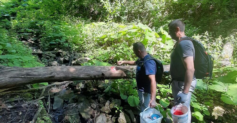
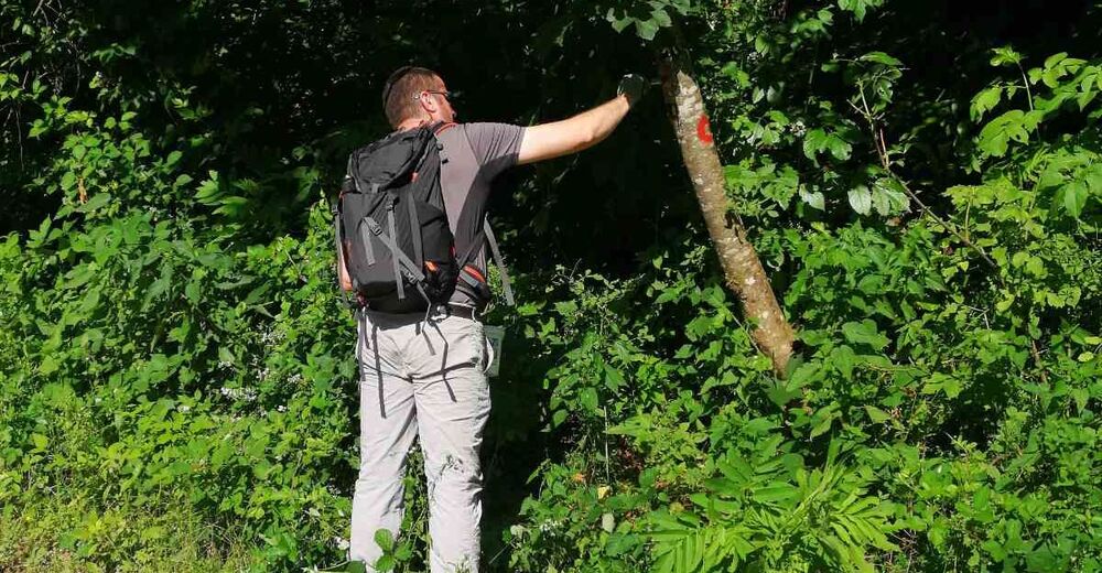
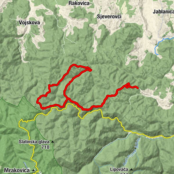
This section Resanovci - Bunik - Pašini Konaci - Strmac is marked completely, and is part of the Kozara Ultra Trail that is about to be finaly marked in summer 2020.
- Højeste punkt
- 608 m
- Højdeprofil
-
 © outdooractive.com


-
-
ForfatterRundvisningen Kozara (Resanovci - Bunik - Pašini Konaci - Strmac) bruges af outdooractive.com forudsat.