© TILT COM’SEIL - Lionel Terrail

© TILT COM’SEIL - Lionel Terrail

© TILT COM’SEIL - Lionel Terrail

© TILT COM’SEIL - Lionel Terrail

© TILT COM’SEIL - Lionel Terrail

© TILT COM’SEIL - Brice Milbergue
Turnédatoer
75,44km
787
- 2.329m
2.366hm
1.828hm
08:26h

TILT COM’SEIL
- Kort beskrivelse
-
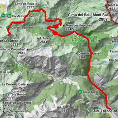
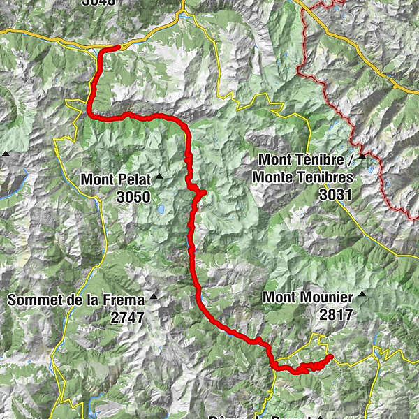
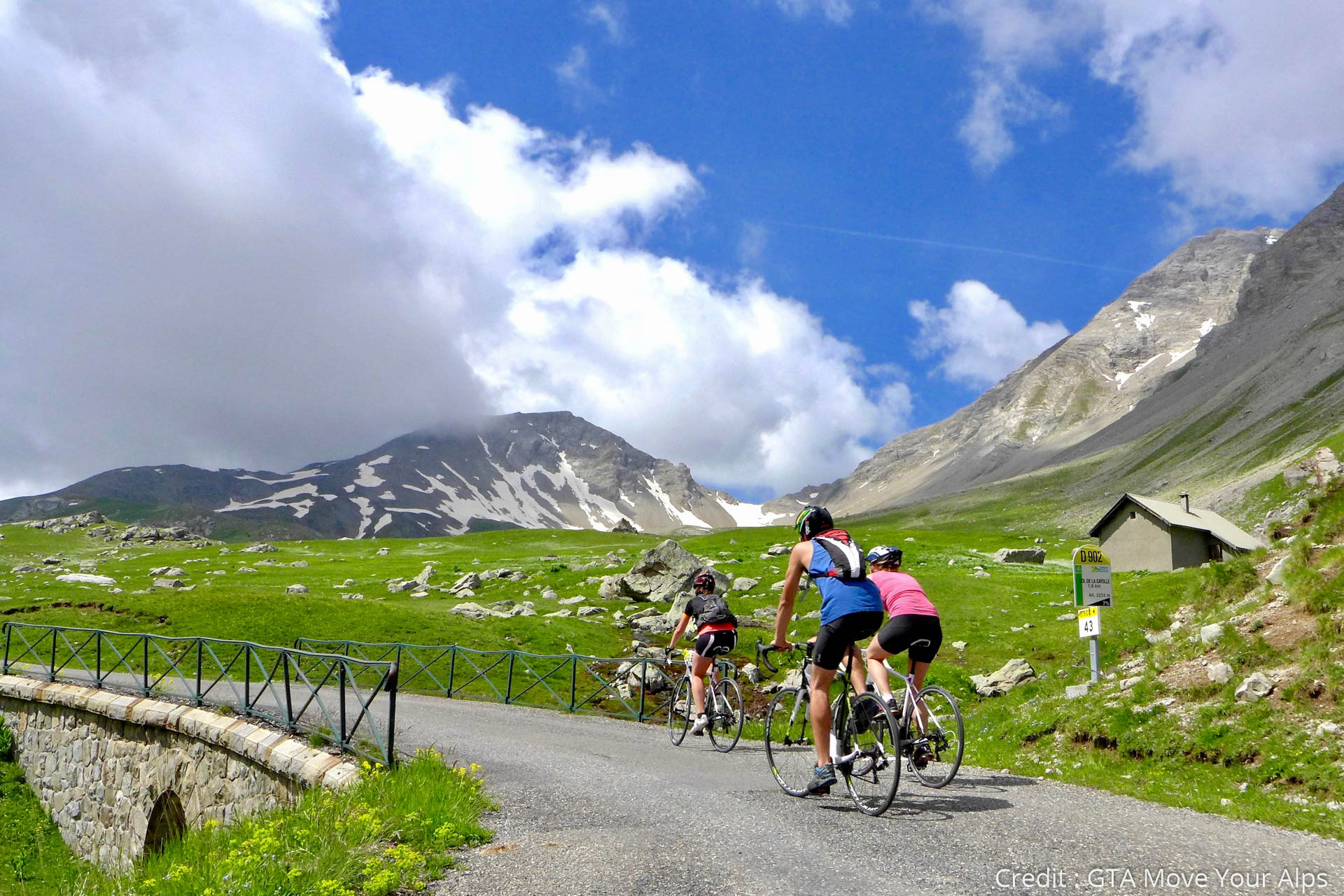
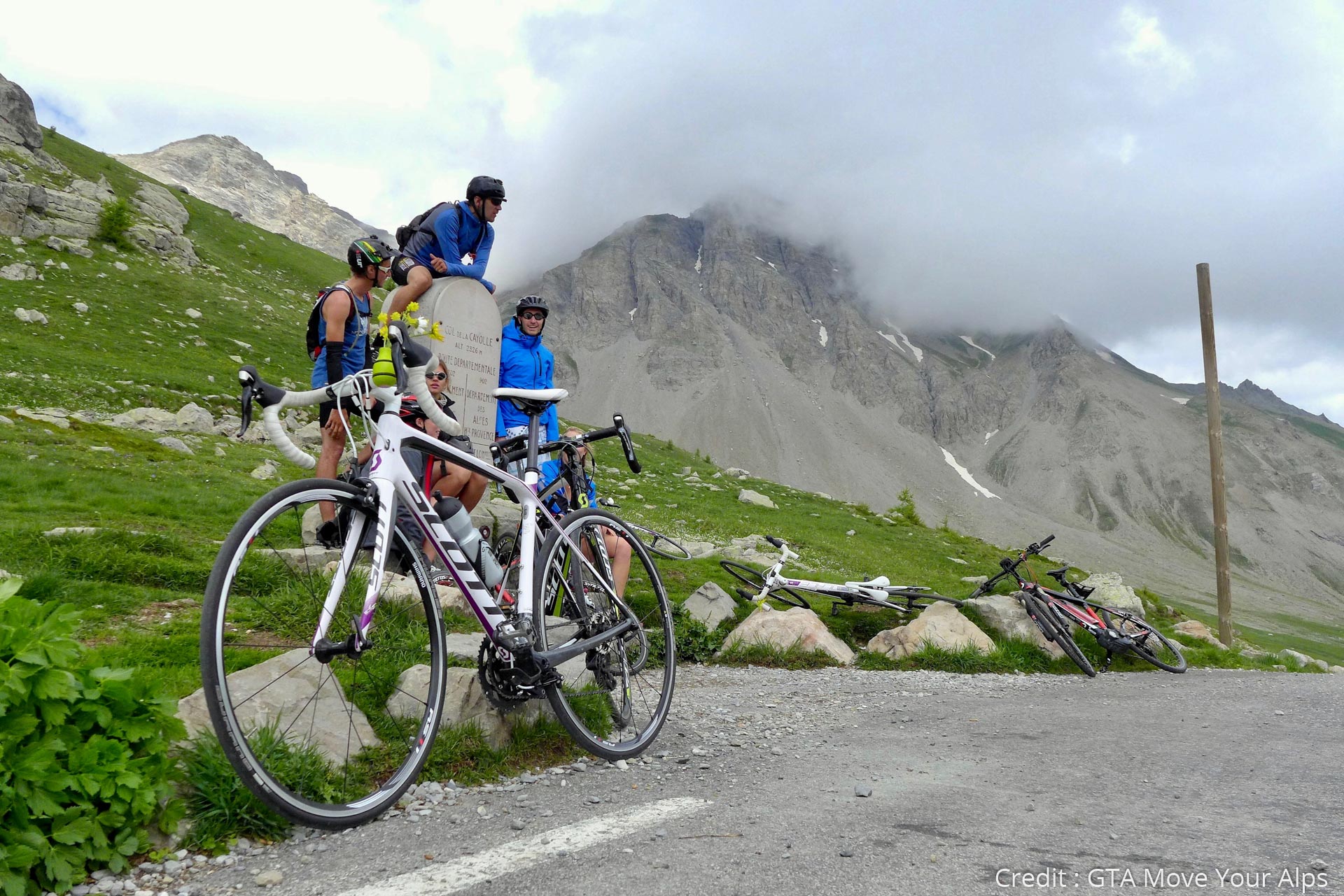
A long stage in the heart of the Ubaye landscapes with the ascent of the magnificent Col de Cayolle (2326 m), the descent of Val d'Entraunes and a second ascent to reach Valberg!
- Sværhedsgrad
-
tung
- Evaluering
-
- Bedste sæson
-
janfebmaraprmajjunjulaugsepoktnovdec
- Højeste punkt
- 2.329 m
- Destination
-
Valberg
- Højdeprofil
-
 © outdooractive.com


- Forfatter
-
TILT COM’SEILRundvisningen Route des Grandes Alpes - From Barcelonnette to Valberg (11) bruges af outdooractive.com forudsat.