© William Fautré - VTTMag

© CD84

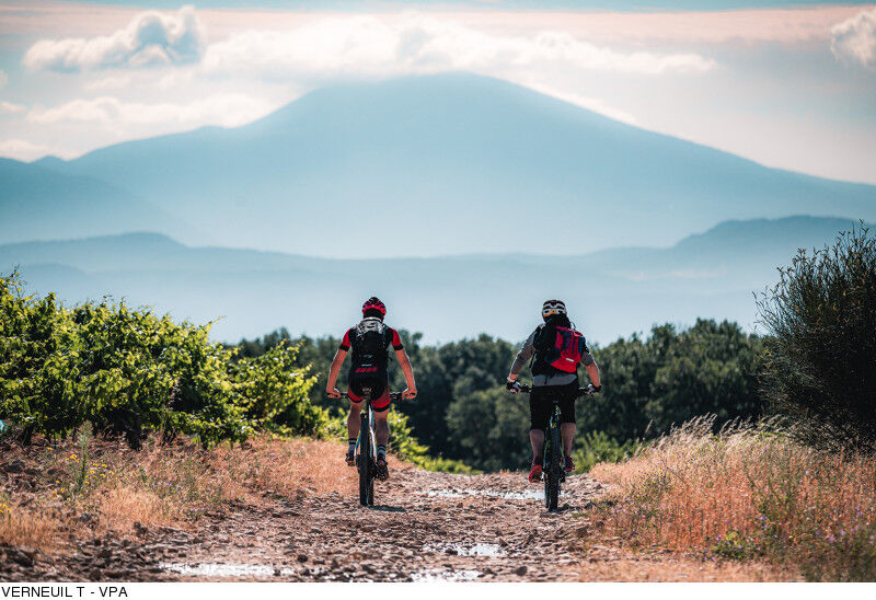
© VERNEUIL T.

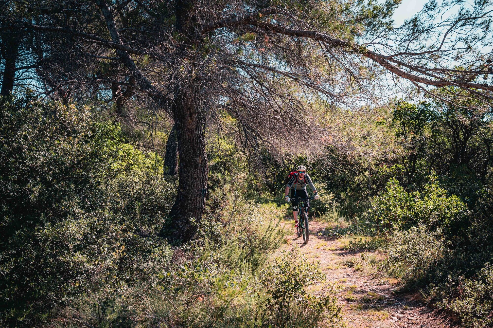
© VERNEUIL T.

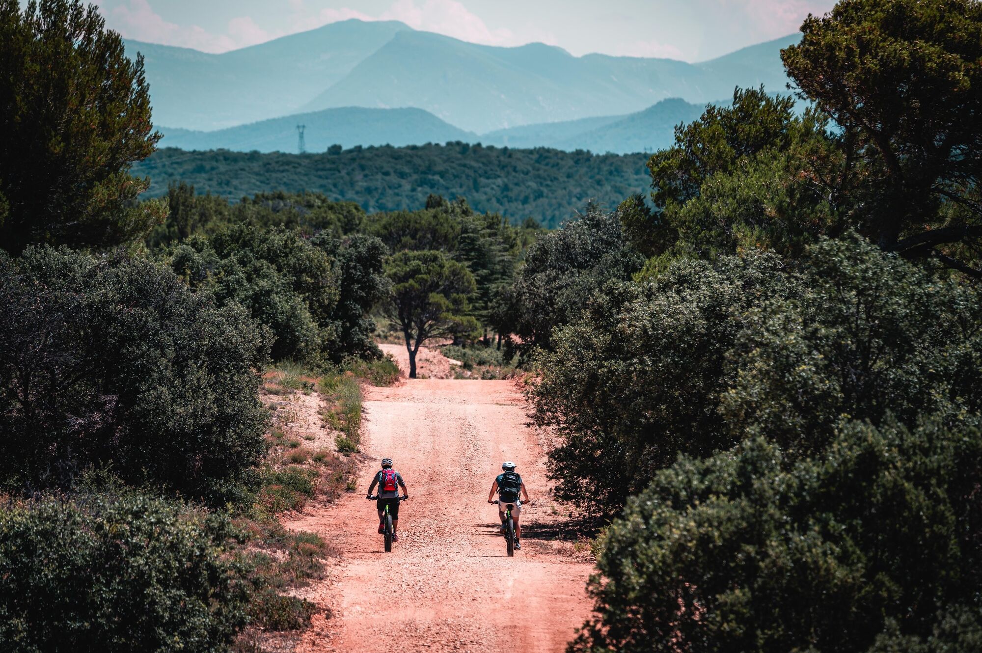
© VERNEUIL T.

© VERNEUIL T.

- Kort beskrivelse
-
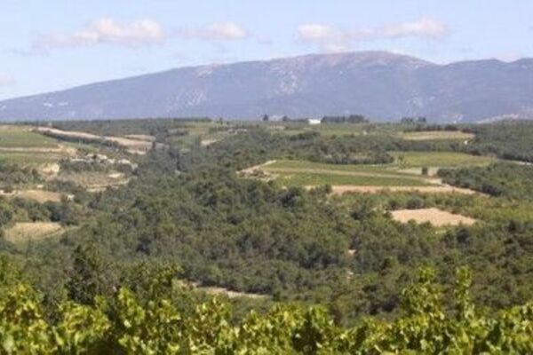
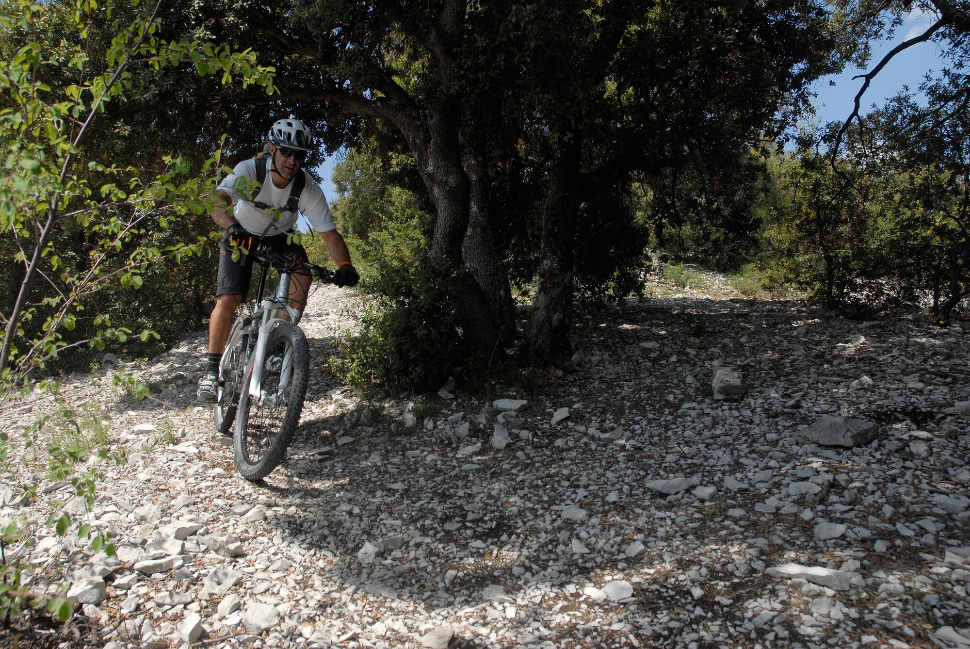
A new mountain bike trail in the heart of Provence and close to the Rhone, easy and accessible to all.
- Rute
-
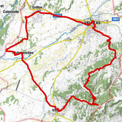
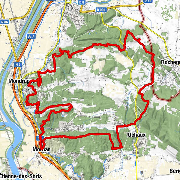
Montmout2,6 kmMondragon10,7 kmLa Mastre28,2 kmLes Farjons28,4 kmCastellas30,4 kmÉglise Notre-Dame du Val-Romigier40,2 kmMornas40,4 kmRestaurant La table du manoir40,5 kmÉglise Saint-Georges40,5 km
- Højeste punkt
- 256 m
- Højdeprofil
-
 © outdooractive.com


- Forfatter
-
Rundvisningen MTB no. 7 - GPS Tour of Pays d’Uchaux bruges af outdooractive.com forudsat.
GPS Downloads


Flere ture i regionerne
-
Vaucluse
99
-
Rhône Lez Provence
31