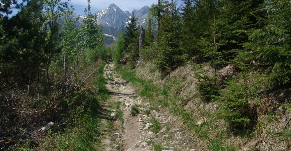
© Region Hohe Tatra - Slavomir Krestian
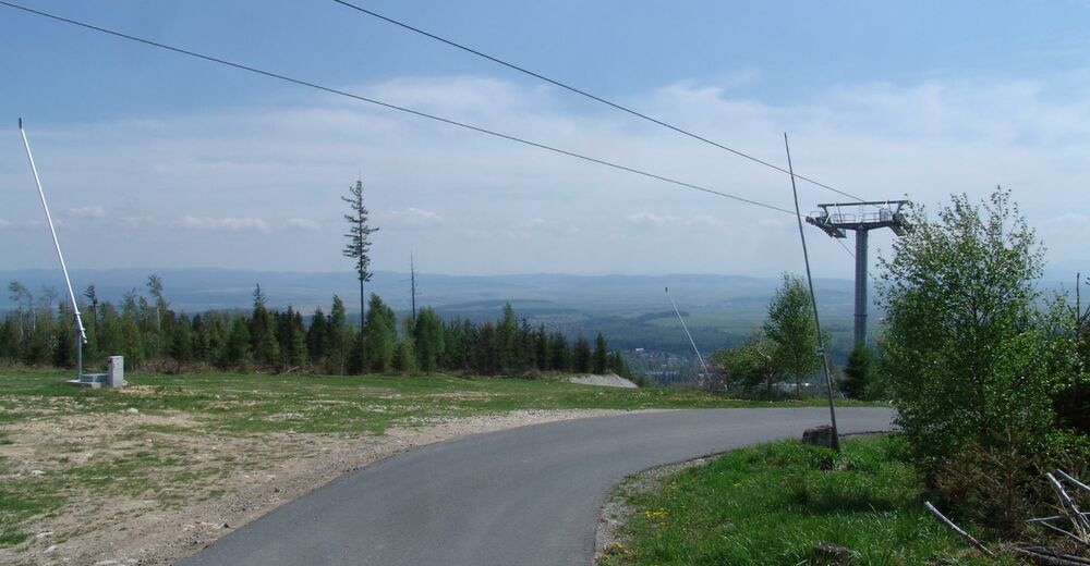
© Region Hohe Tatra - Slavomir Krestian

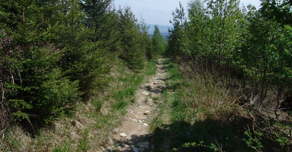
© Region Hohe Tatra - Slavomir Krestian
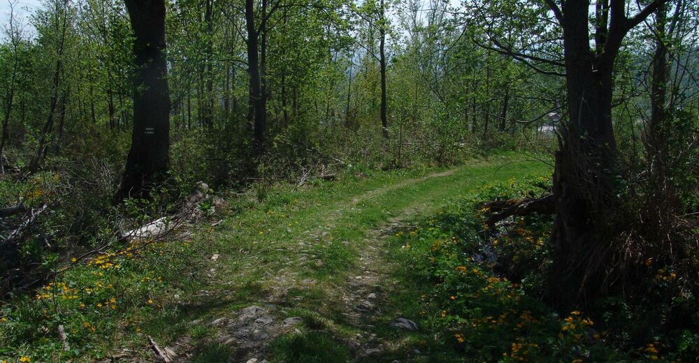
© Region Hohe Tatra - Slavomir Krestian
© Region Hohe Tatra - Slavomir Krestian
Turnédatoer
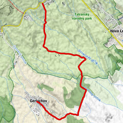
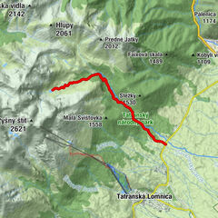
1,88km
854
- 1.029m
154hm
00:31h
Region Hohe Tatra
- Sværhedsgrad
-
let
- Evaluering
-
- Højeste punkt
- 1.029 m
- Destination
-
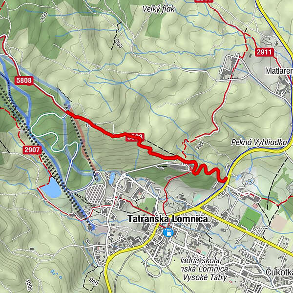
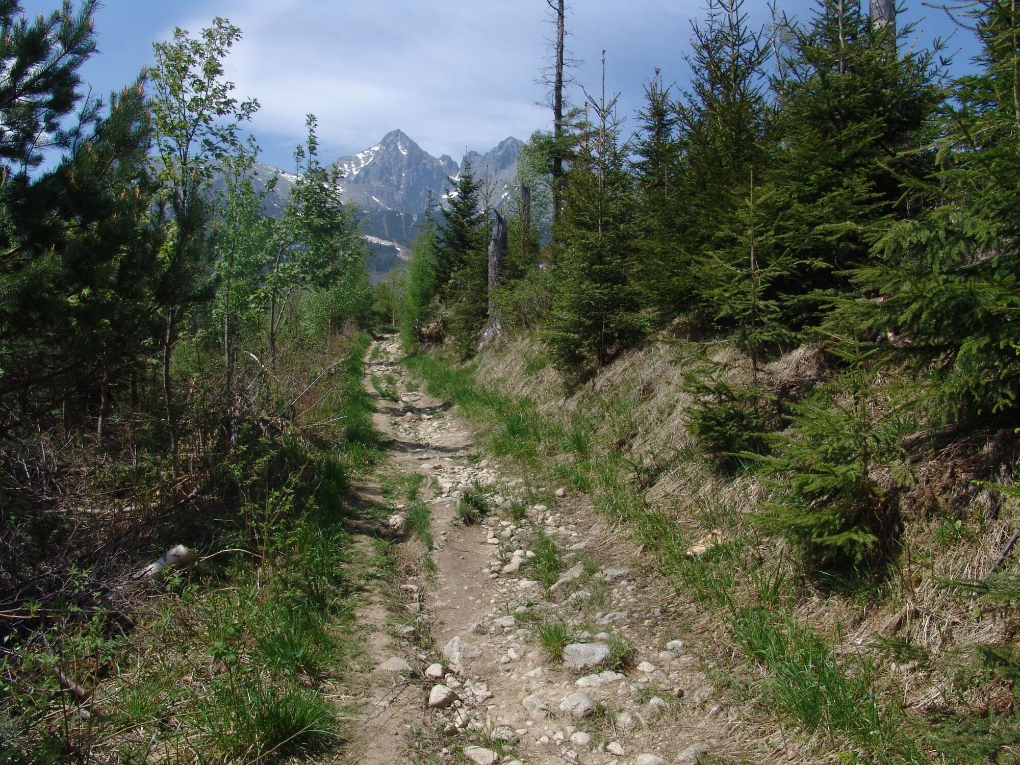
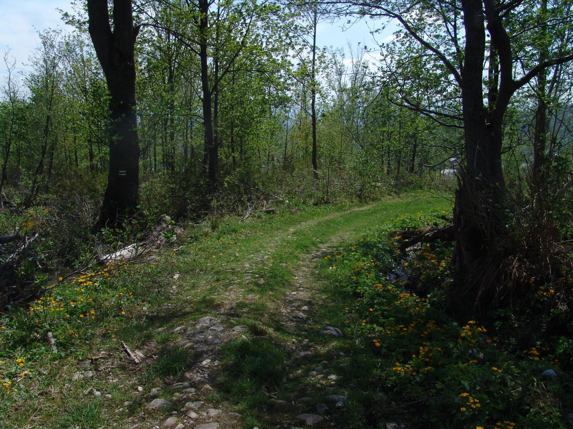
Pod Štartom
- Højdeprofil
-
 © outdooractive.com


- Forfatter
-
Region Hohe TatraRundvisningen 8876 - Tatranská Lomnica - Pod Štartom bruges af outdooractive.com forudsat.
GPS Downloads


Flere ture i regionerne
-
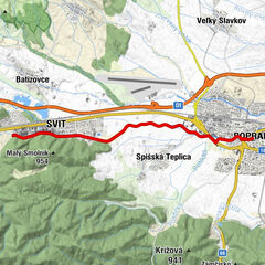
Poprad
19
-
Bachledka - Ždiar
5