© Gressoney Monterosa - Consorzio Gressoney Monterosa

© Gressoney Monterosa - Consorzio Gressoney Monterosa

- Kort beskrivelse
-
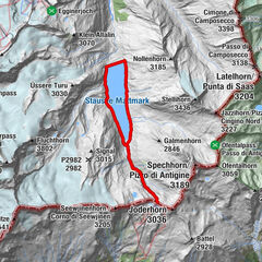
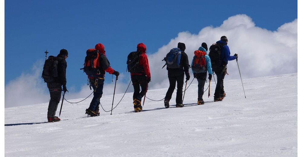
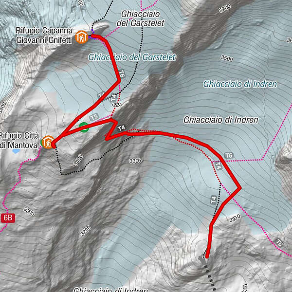
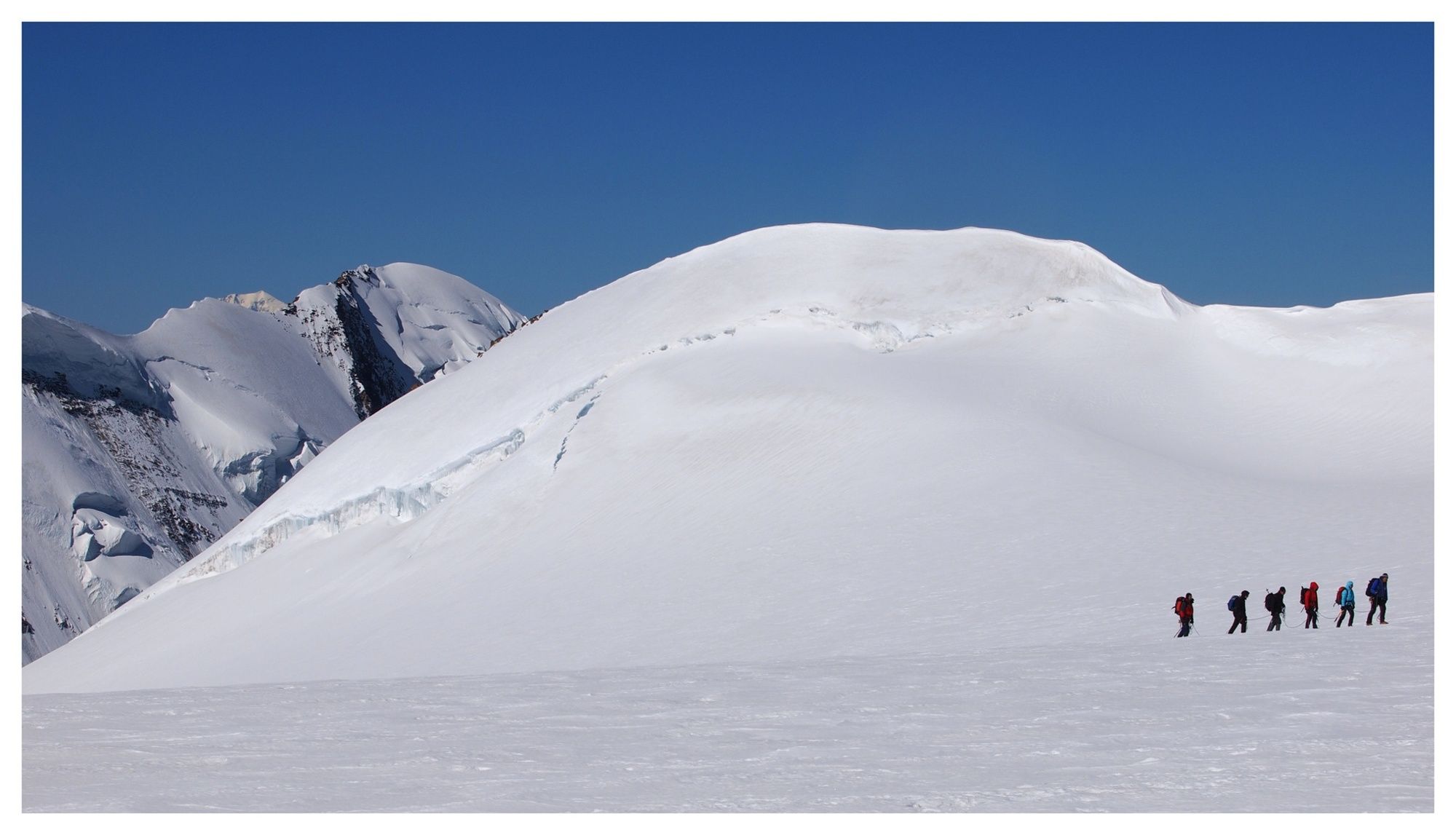
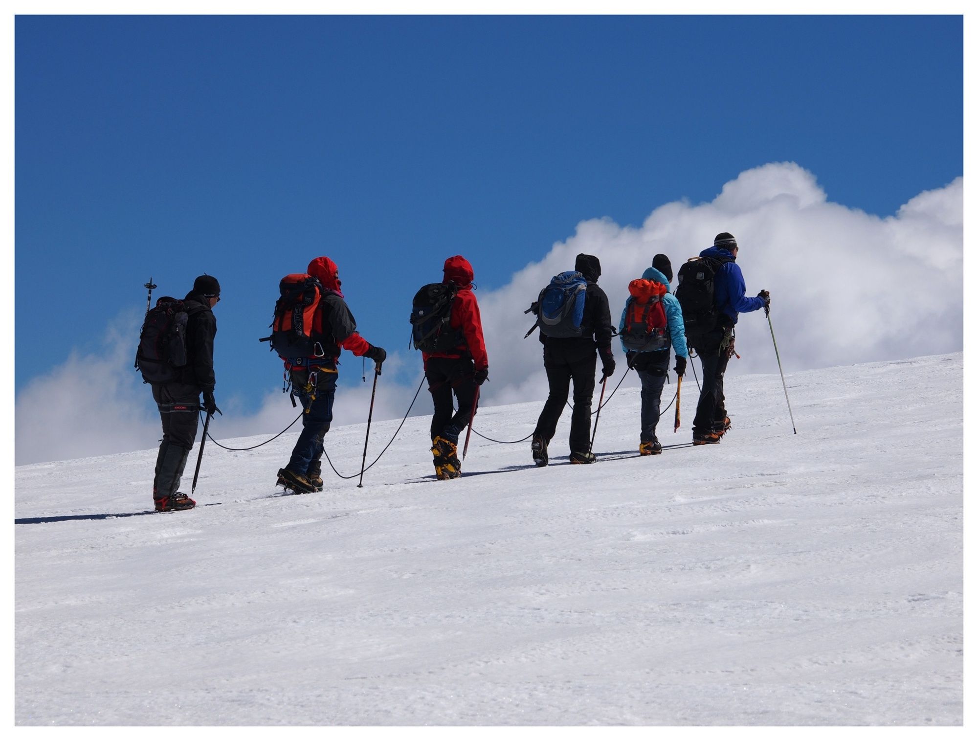
Climb to the shelters on the glacier, first stretch with cableways.
- Sværhedsgrad
-
tung
- Evaluering
-
- Rute
-
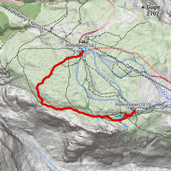
Rifugio Città di Mantova1,4 km
- Bedste sæson
-
janfebmaraprmajjunjulaugsepoktnovdec
- Højeste punkt
- 3.593 m
- Destination
-
Rifugio Città di Mantova e Rifugio Gnifetti
- Højdeprofil
-
 © outdooractive.com
-

-
ForfatterRundvisningen unta Indren - Refuge Città di Mantova - Refuge Gnifetti bruges af outdooractive.com forudsat.
GPS Downloads


Generel information
Forfriskningsstop
Lovende
Flere ture i regionerne
-
Biella und Umgebung
262
-
Monte Rosa
215
-
Gressoney La Trinité
61

")