© Appenzellerland Tourismus AR - Nina Ergens
- Kort beskrivelse
-
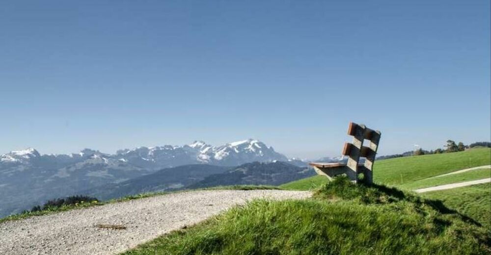
View from the Rhine Valley as far as the Voralberger Alps
- Sværhedsgrad
-
let
- Evaluering
-
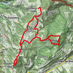
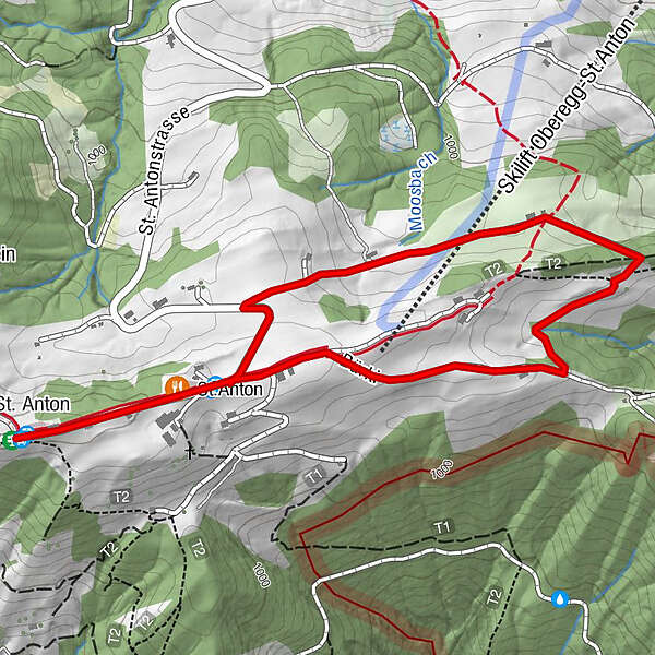
- Rute
-
St. AntonKapelle St. AntonSt.Anton0,3 km
- Bedste sæson
-
janfebmaraprmajjunjulaugsepoktnovdec
- Højeste punkt
- 1.108 m
- Destination
-
Kafi Anton
- Højdeprofil
-
 © outdooractive.com

- Forfatter
-
Rundvisningen St. Anton circular trail - easy route bruges af outdooractive.com forudsat.
GPS Downloads


Generel information
Forfriskningsstop
Lovende
Flere ture i regionerne
-
St. Gallen - Bodensee
2065
-
St. Galler Rheintal
1332
-
Oberegg
249