© Unbekannt - Vielfalt überall - Erlebnisweg Honigbienen Rehetobel - Emanuel Hörler

© Unbekannt - Vielfalt überall - Erlebnisweg Honigbienen Rehetobel - Emanuel Hörler
- Kort beskrivelse
-
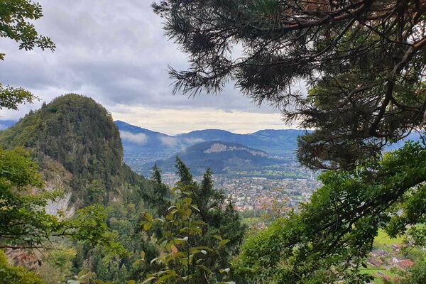
The bee trail leads through the beautiful countryside between the village centre and Moosbach on attractive tracks and paths.
- Sværhedsgrad
-
let
- Evaluering
-
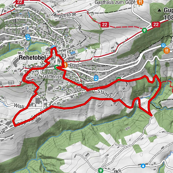
- Rute
-
Dorf 50,1 kmPost0,1 kmReformierte Kirche0,2 kmRehetobel3,3 km
- Bedste sæson
-
janfebmaraprmajjunjulaugsepoktnovdec
- Højeste punkt
- 954 m
- Destination
-
Community center, Rehetobel
- Højdeprofil
-
 © outdooractive.com
- Forfatter
-
Rundvisningen Honeybee trail bruges af outdooractive.com forudsat.
GPS Downloads


Generel information
Forfriskningsstop
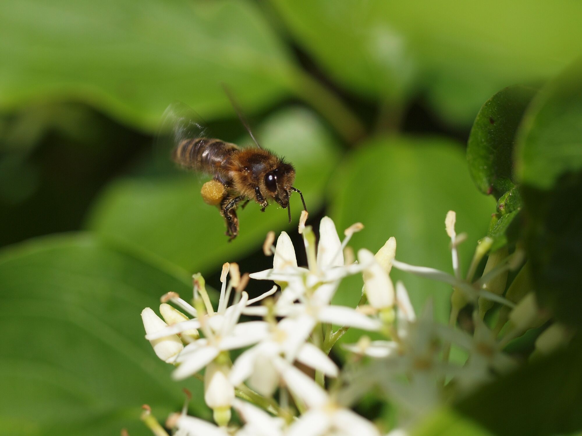
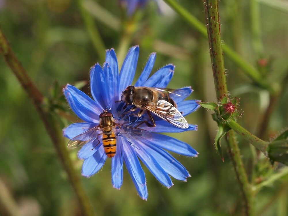
Flora
Fauna
Flere ture i regionerne
-
St. Gallen - Bodensee
2067
-
St. Gallen und Umgebung
726
-
Rehetobel
229