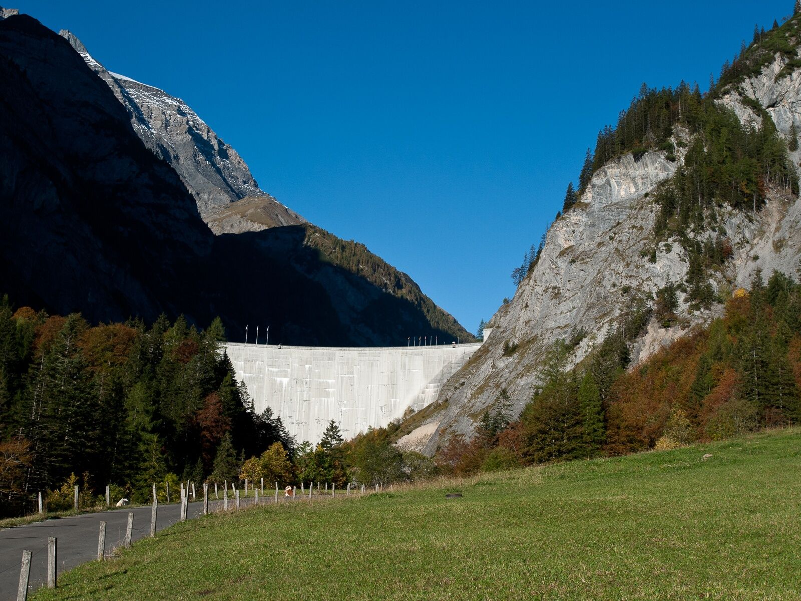
© Heidiland Tourismus - Thomas Kessler


- Kort beskrivelse
-
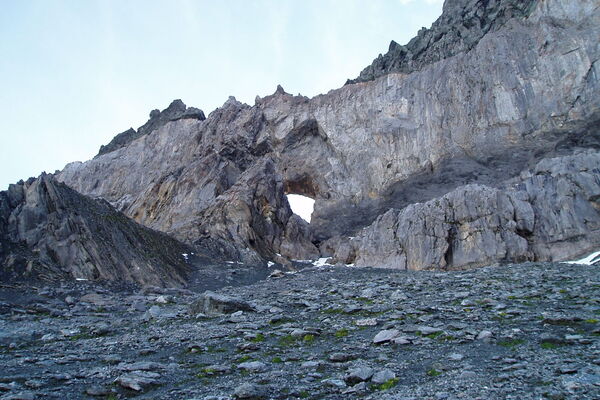
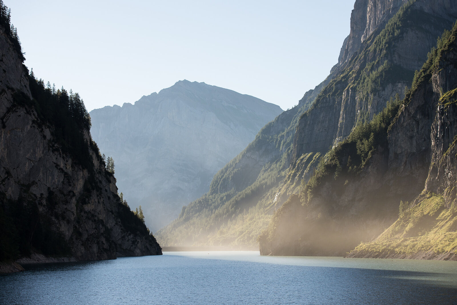
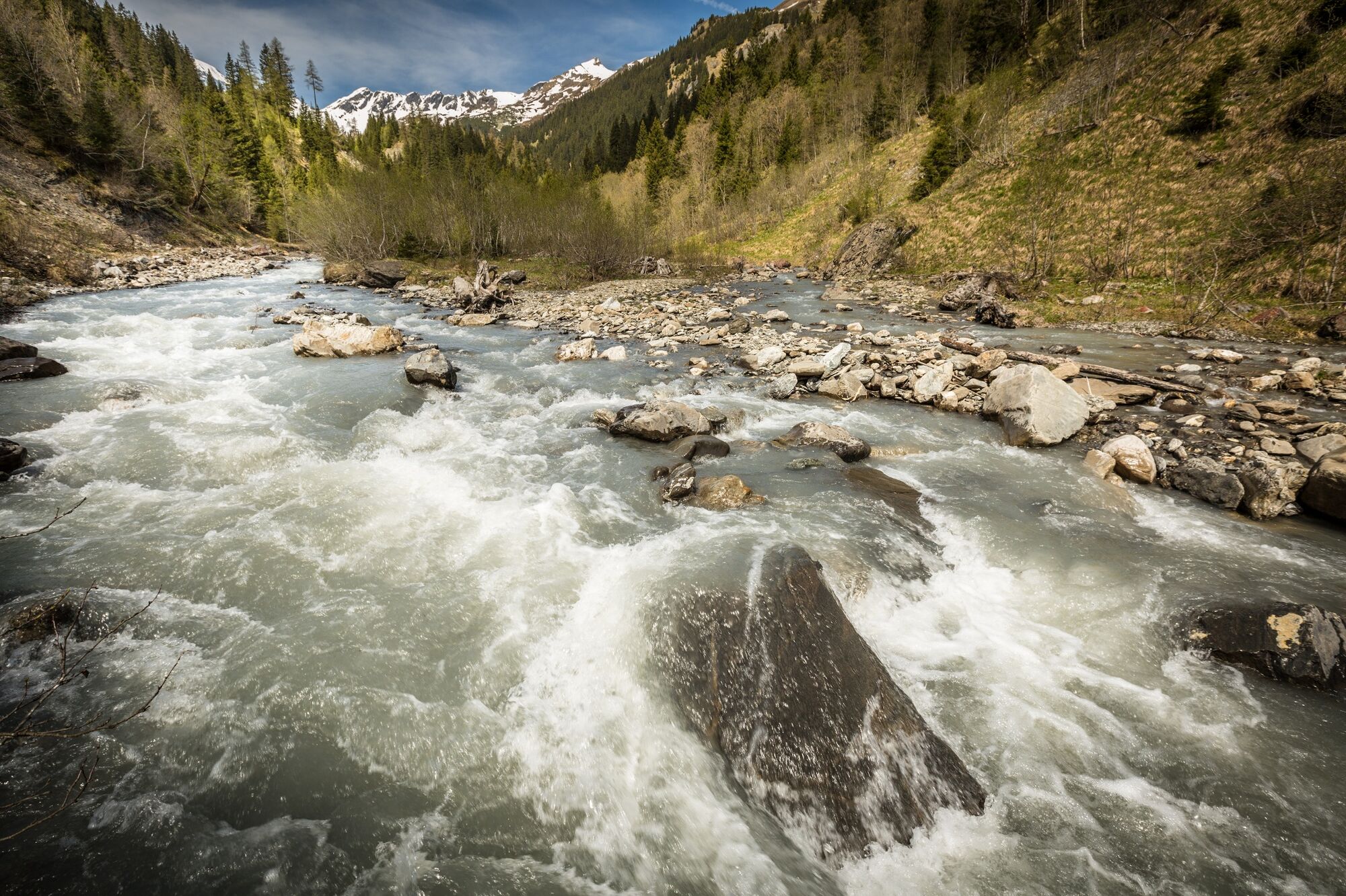
A journey to the past.
- Sværhedsgrad
-
medium
- Evaluering
-
- Rute
-
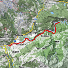
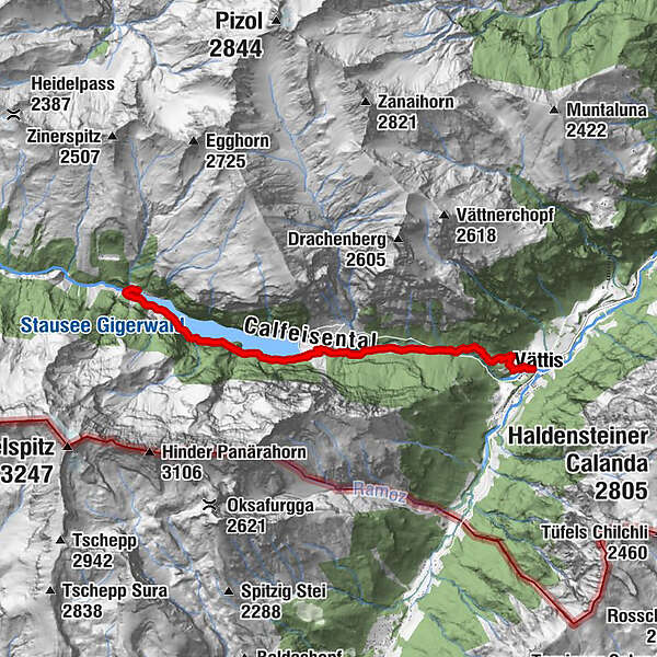
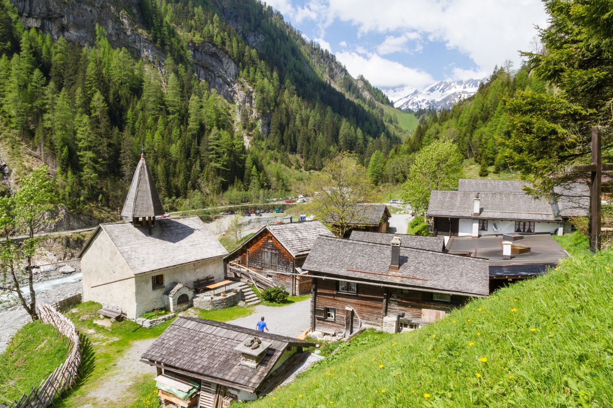
Vättis (943 m)St. Martin im Calfeisental8,0 kmSankt Martin8,0 kmSt. Martin8,0 km
- Bedste sæson
-
janfebmaraprmajjunjulaugsepoktnovdec
- Højeste punkt
- 1.348 m
- Destination
-
St. Martin
- Højdeprofil
-
 © outdooractive.com
- Forfatter
-
Rundvisningen From Vättis to the Walser settlement St.Martin bruges af outdooractive.com forudsat.
GPS Downloads


Generel information
Forfriskningsstop
Lovende