
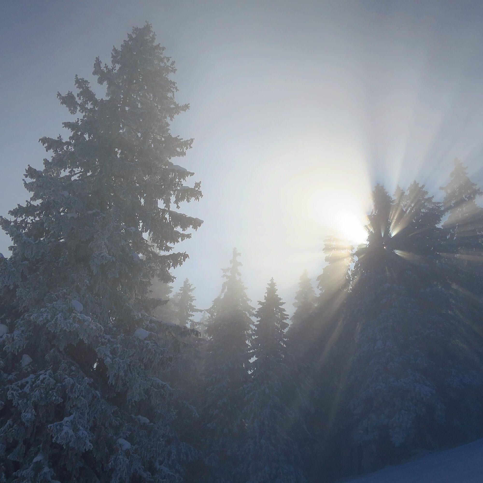
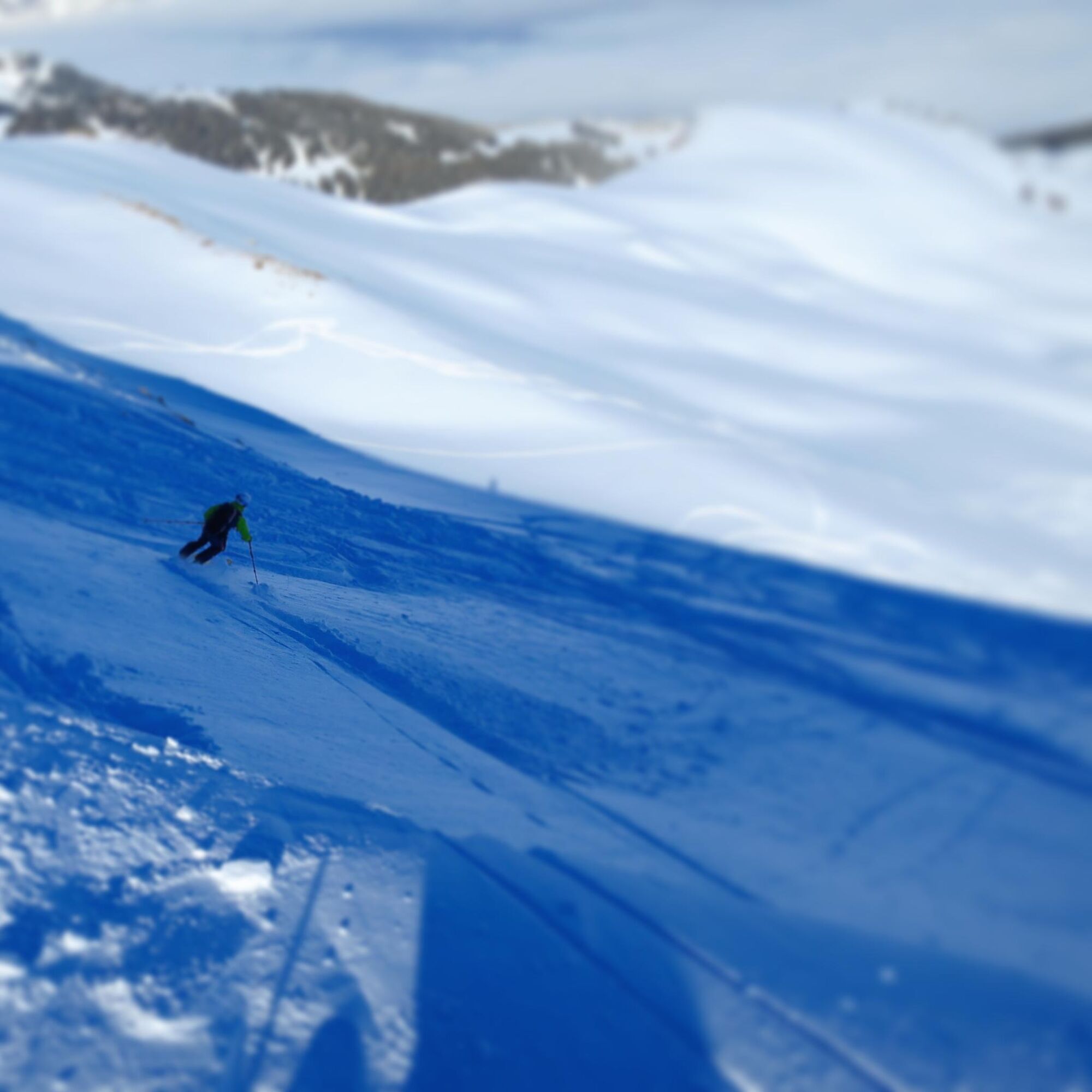
© Swiss Alpine Adventure - Dave O'Riordan
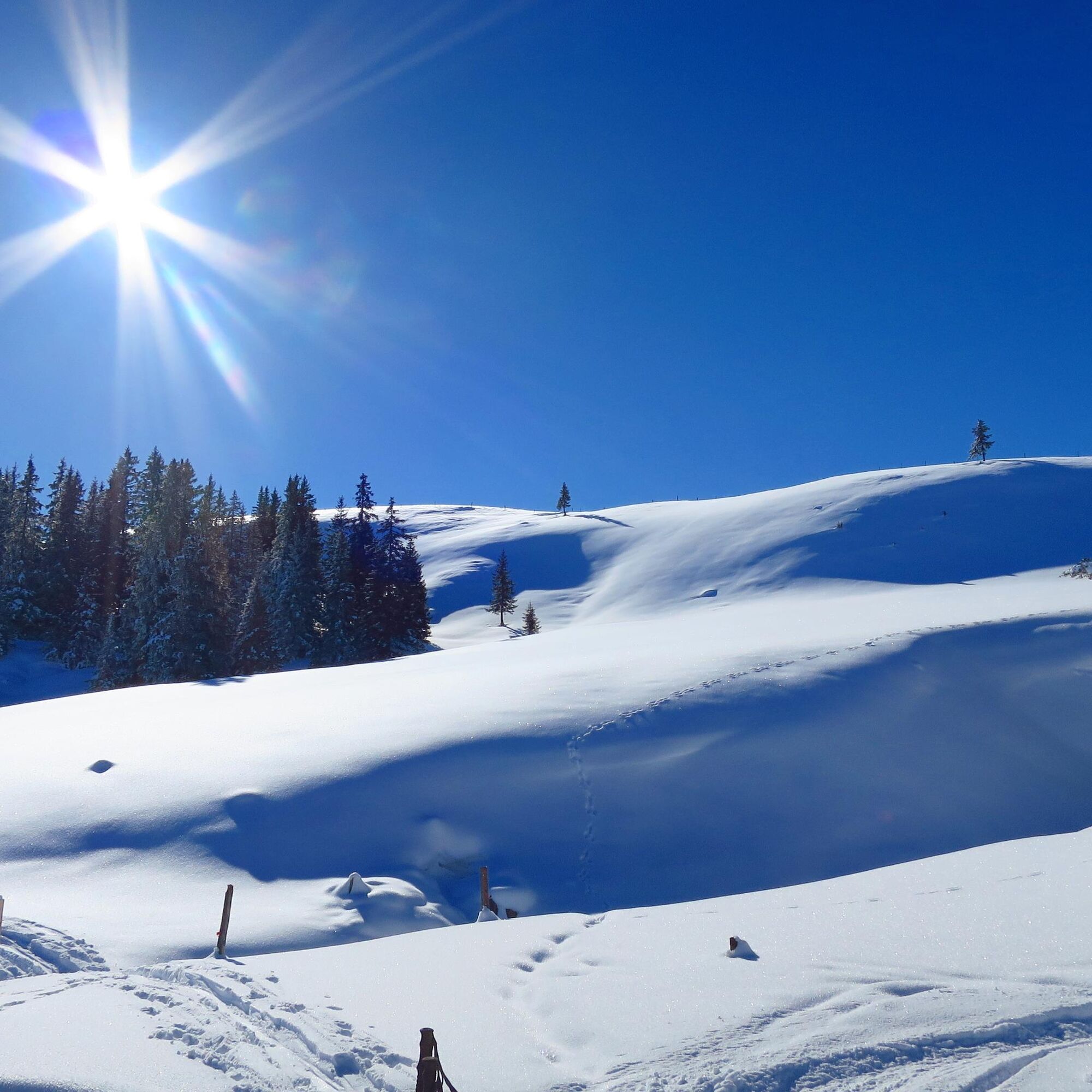
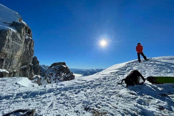
© Swiss Alpine Adventure - Dave O'Riordan
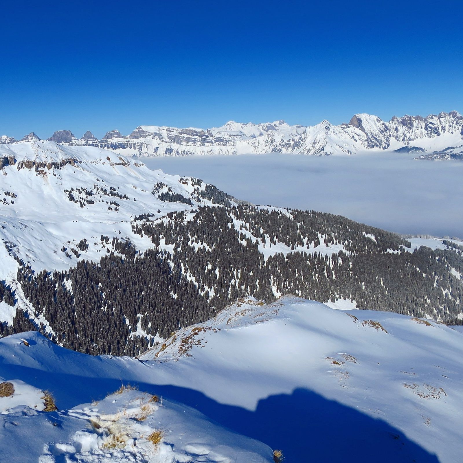
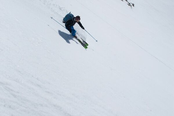
© Swiss Alpine Adventure - Dave O'Riordan
© Swiss Alpine Adventure - Dave O'Riordan
- Kort beskrivelse
-
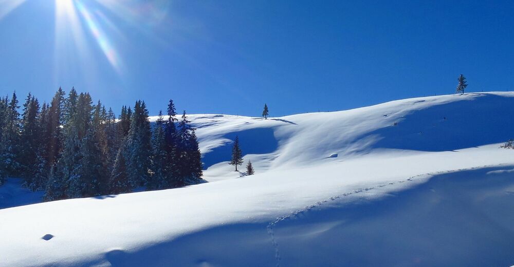
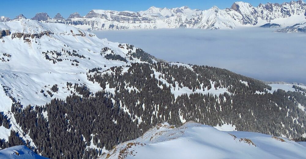
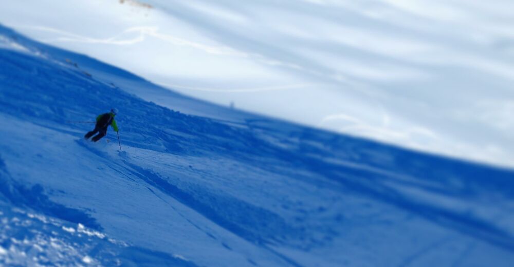
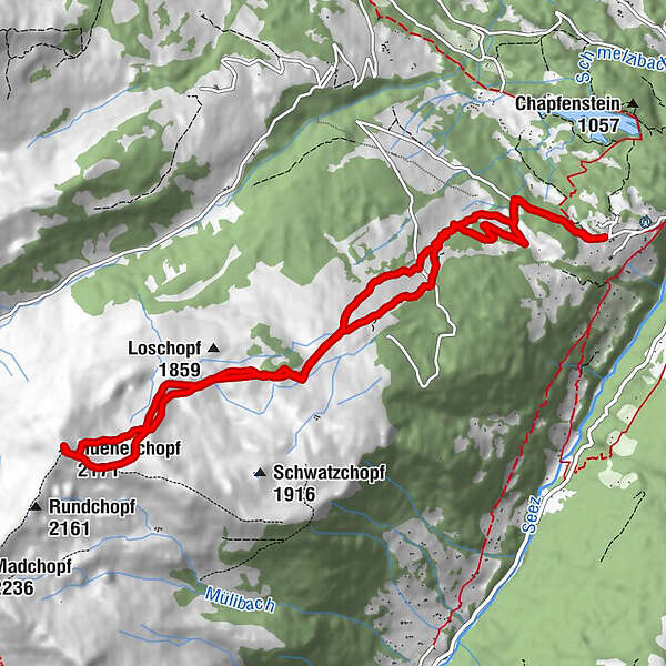
Technically quite easy and relatively safe tour with some beautiful views over the Rhein valley and the Churfirsten.
- Sværhedsgrad
-
medium
- Evaluering
-
- Rute
-
Lutzboden0,9 kmHüenerchopf (2.171 m)6,6 kmLutzboden11,5 kmVermol12,6 km
- Bedste sæson
-
augsepoktnovdecjanfebmaraprmajjunjul
- Højeste punkt
- 2.149 m
- Destination
-
Vermol
- Exposition
- Højdeprofil
-
 © outdooractive.com
-

-
ForfatterRundvisningen Hünerchopf bruges af outdooractive.com forudsat.
GPS Downloads


Flere ture i regionerne
-
Heidiland
81
-
Heidiland / Graubünden
42
-
Schwendi
4


")
