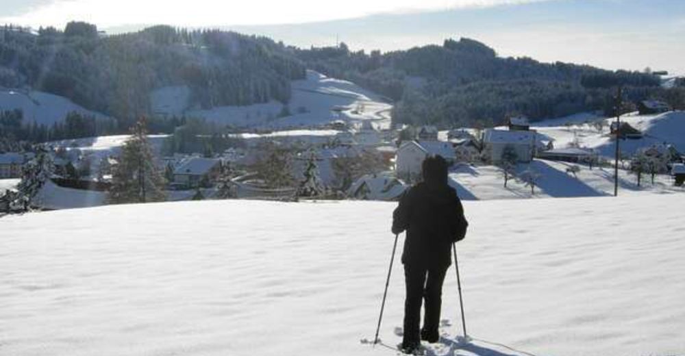
© Appenzellerland Tourismus AR - Jana Bacher
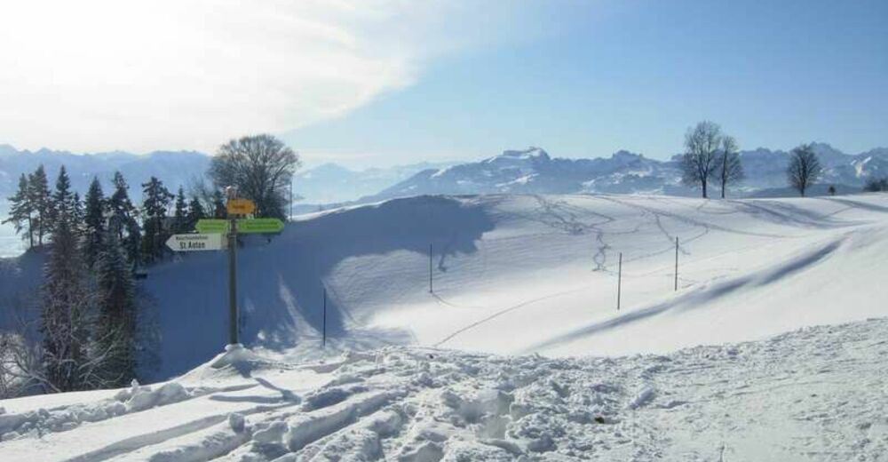
© Appenzellerland Tourismus AR - Jana Bacher
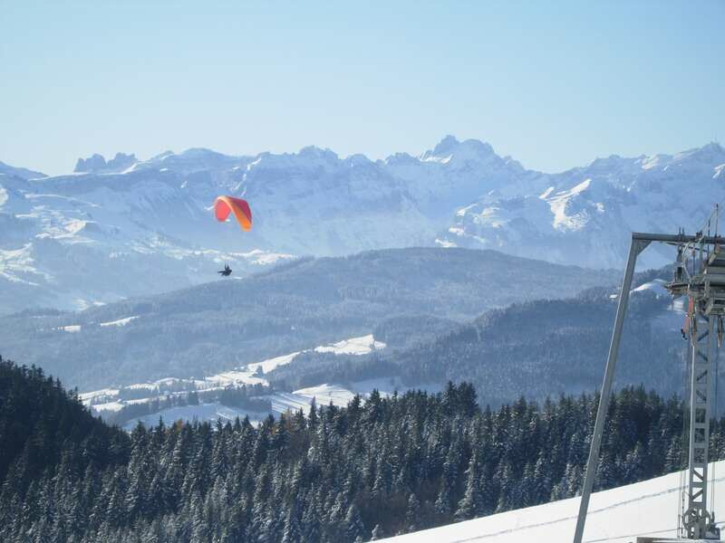
© Appenzellerland Tourismus AR - Jana Bacher

- Kort beskrivelse
-
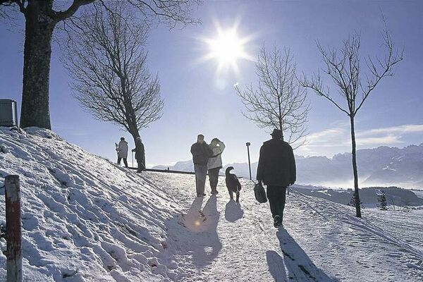
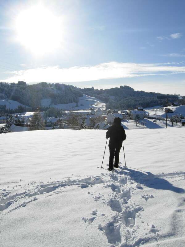
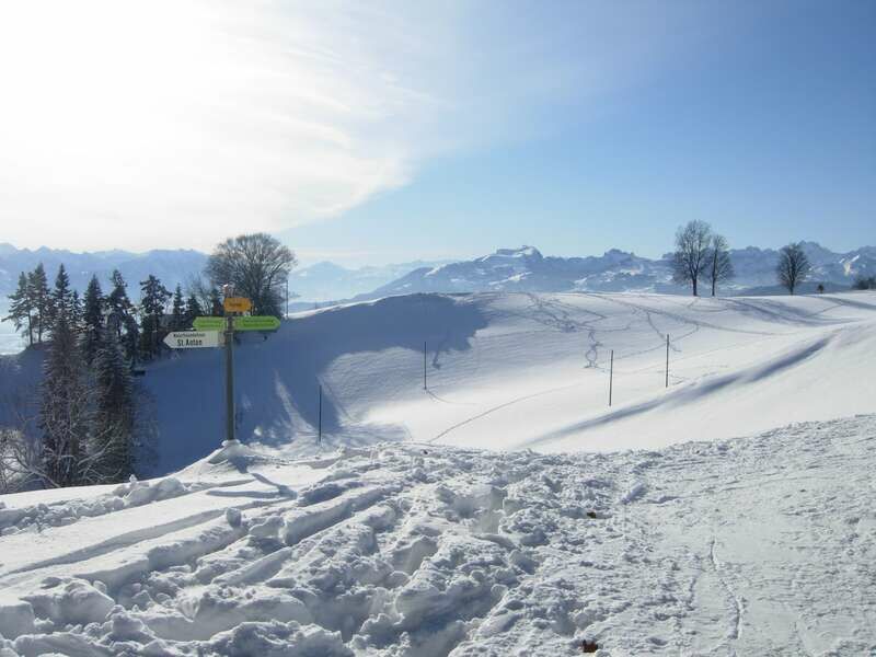
Discover the enchanting winter landscape above Oberegg.
- Sværhedsgrad
-
let
- Evaluering
-
- Rute
-
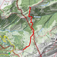
Kapelle St. AntonSt. Anton0,0 kmSt.Anton0,3 kmSt. Anton (1.110 m)3,3 kmKapelle St. Anton3,4 kmSt. Anton3,5 km
- Bedste sæson
-
augsepoktnovdecjanfebmaraprmajjunjul
- Højeste punkt
- 1.108 m
- Destination
-
St. Anton, Kafi Anton
- Højdeprofil
-
 © outdooractive.com
- Forfatter
-
Rundvisningen With a view of the Rhine Valley bruges af outdooractive.com forudsat.
GPS Downloads


Generel information
Forfriskningsstop
Flere ture i regionerne