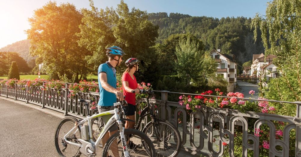
© Heidiland Tourismus - Thomas Kessler
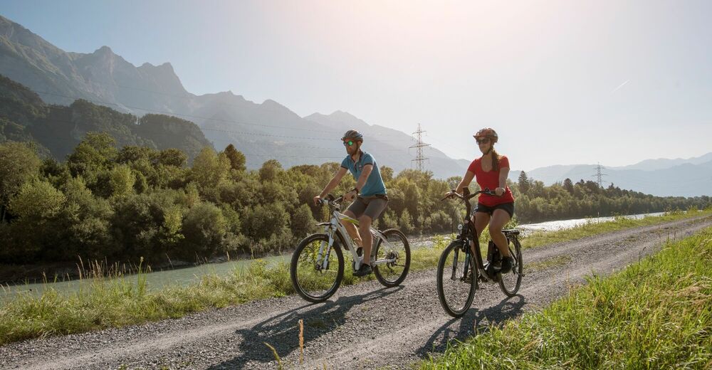
© Heidiland Tourismus - Dolores Rupa
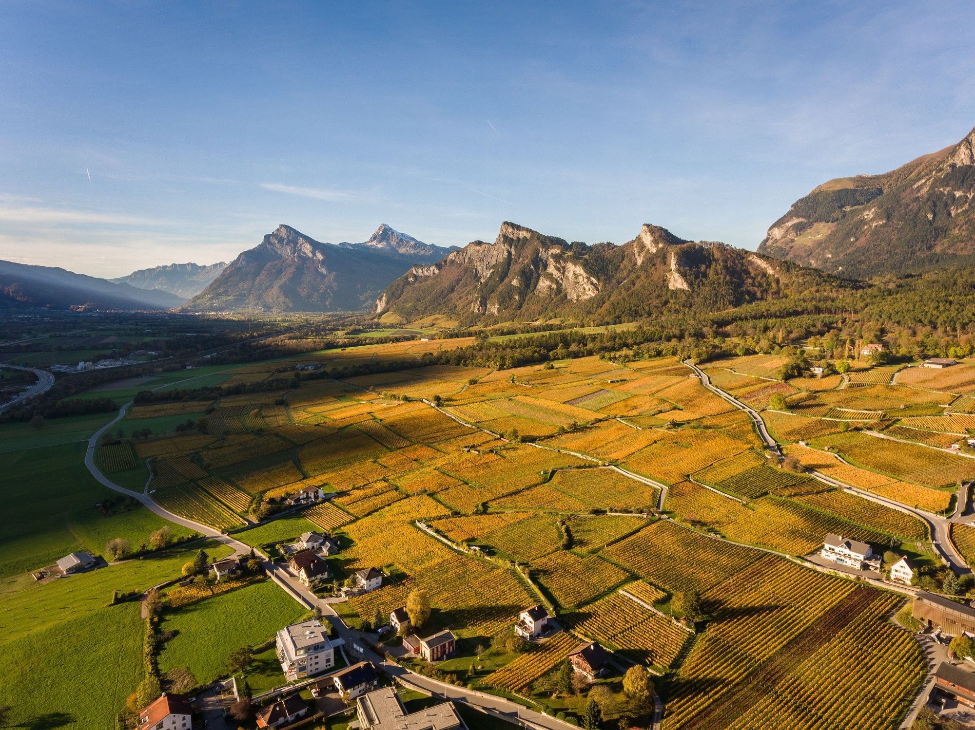
© Heidiland Tourismus - Dolores Rupa

- Kort beskrivelse
-
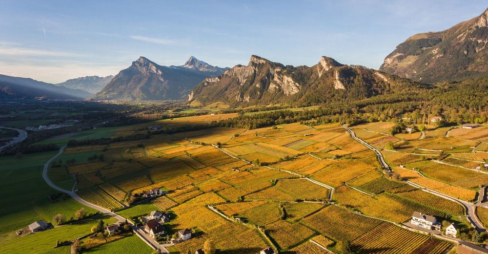
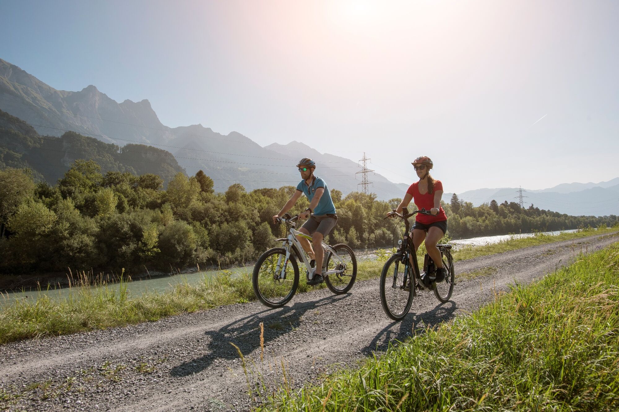
Beautiful round tour to one of the most beautiful viewpoints of the region with views over the Rhine Valley and the Principality of Liechtenstein as well as the surrounding mountains.
- Sværhedsgrad
-
medium
- Evaluering
-
- Rute
-
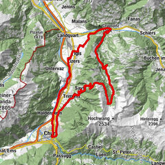
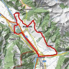
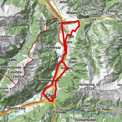
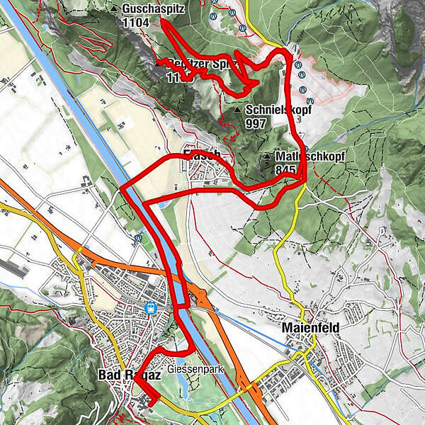
Evangelisch-reformierte Kirche Bad Ragaz0,2 kmBad Ragaz (516 m)0,5 kmFläsch (528 m)4,6 kmGasthof St. Luzisteig6,9 kmSteigkirche6,9 kmSankt Luzisteig (713m)6,9 kmSankt Luzisteig6,9 kmKaserne Sankt Luzisteig7,7 kmRestaurant Panorama7,9 kmRegitzer Spitz (1.135 m)11,7 kmMünz13,1 kmRestaurant Panorama16,4 kmKaserne Sankt Luzisteig16,4 kmSankt Luzisteig (713m)17,2 kmSankt Luzisteig17,3 kmSteigkirche17,3 kmGasthof St. Luzisteig17,3 kmFläsch (528 m)19,5 kmMühle20,5 kmBad Ragaz (516 m)23,4 kmEvangelisch-reformierte Kirche Bad Ragaz23,6 km
- Bedste sæson
-
janfebmaraprmajjunjulaugsepoktnovdec
- Højeste punkt
- 1.123 m
- Destination
-
E-Bike Station Bad Ragaz
- Højdeprofil
-
 © outdooractive.com

- Forfatter
-
Rundvisningen E-Bike Regitzerspitze bruges af outdooractive.com forudsat.
GPS Downloads
Generel information
Forfriskningsstop
Kulturel/Historisk
Lovende
Flere ture i regionerne
-
Heidiland
154
-
Bündner Herrschaft
87
-
Fläsch
33