
- Kort beskrivelse
-
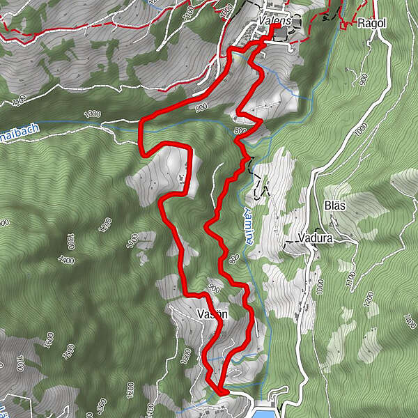
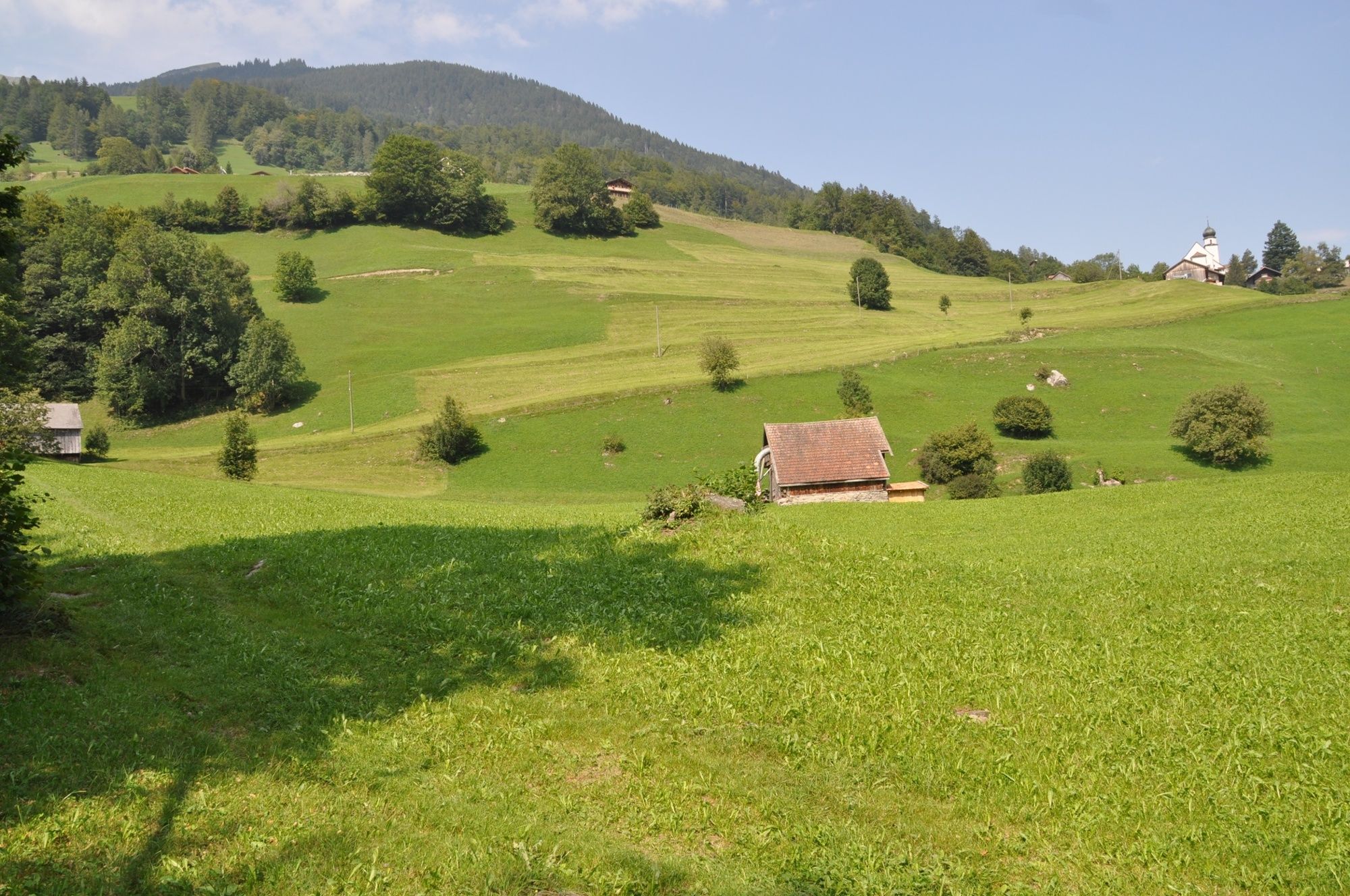
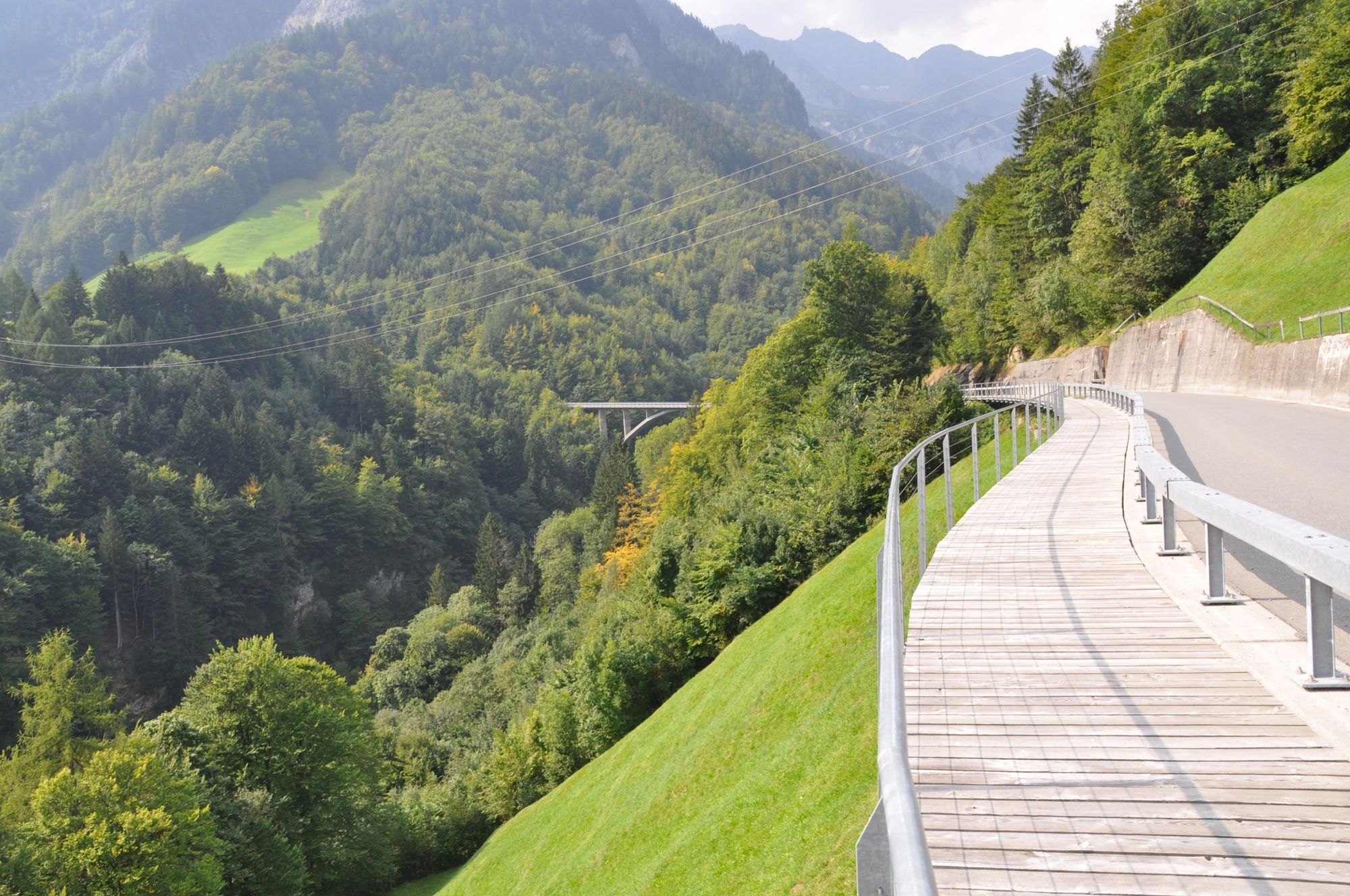
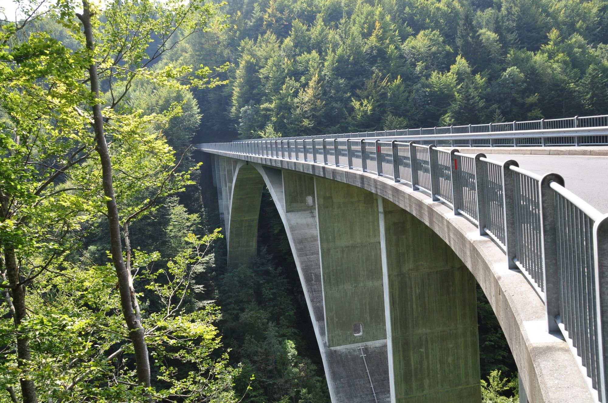
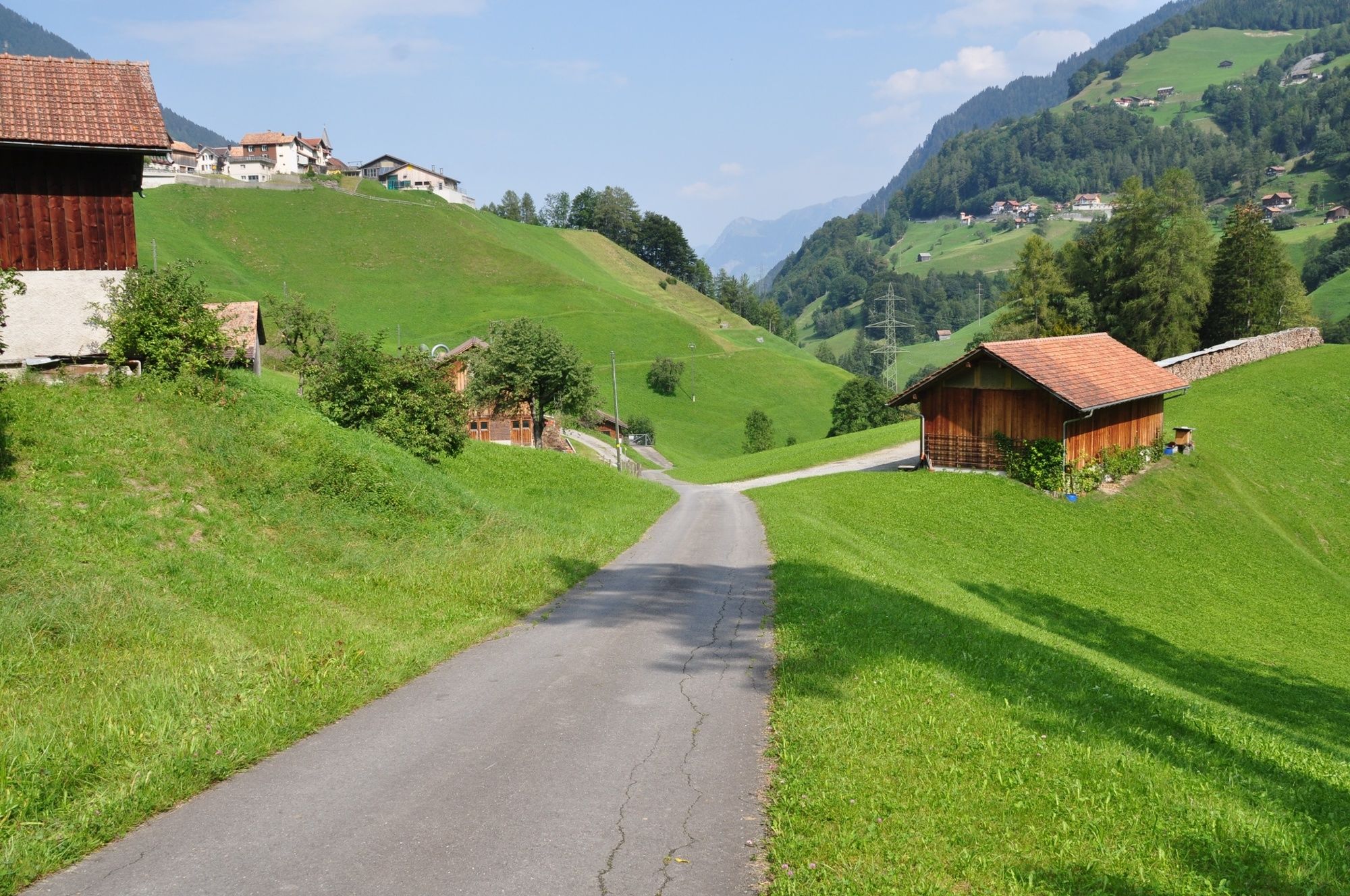
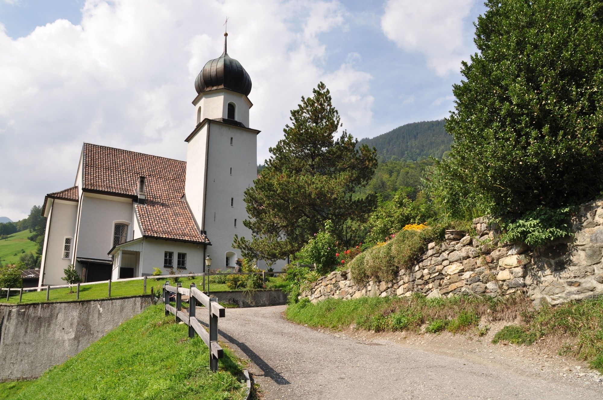
The spectacular Tschenner bridge, the idyllic village Vasön, meadows, pastures and forests - and finally a short climb back to Valens: these are the key features of the Glarina Trail.
- Sværhedsgrad
-
medium
- Evaluering
-
- Rute
-
Valens0,1 kmKatholische Kirche St. Philipp und Jakob0,2 kmVasön3,1 kmKuhgaden3,8 kmKatholische Kirche St. Philipp und Jakob6,7 kmValens6,8 km
- Bedste sæson
-
janfebmaraprmajjunjulaugsepoktnovdec
- Højeste punkt
- 950 m
- Destination
-
Valens, Infopoint der Station Valens
- Højdeprofil
-
 © outdooractive.com


- Forfatter
-
Rundvisningen Glarina-Trail 417 bruges af outdooractive.com forudsat.
GPS Downloads


Generel information
Forfriskningsstop
Lovende