

© otvtma


- Kort beskrivelse
-
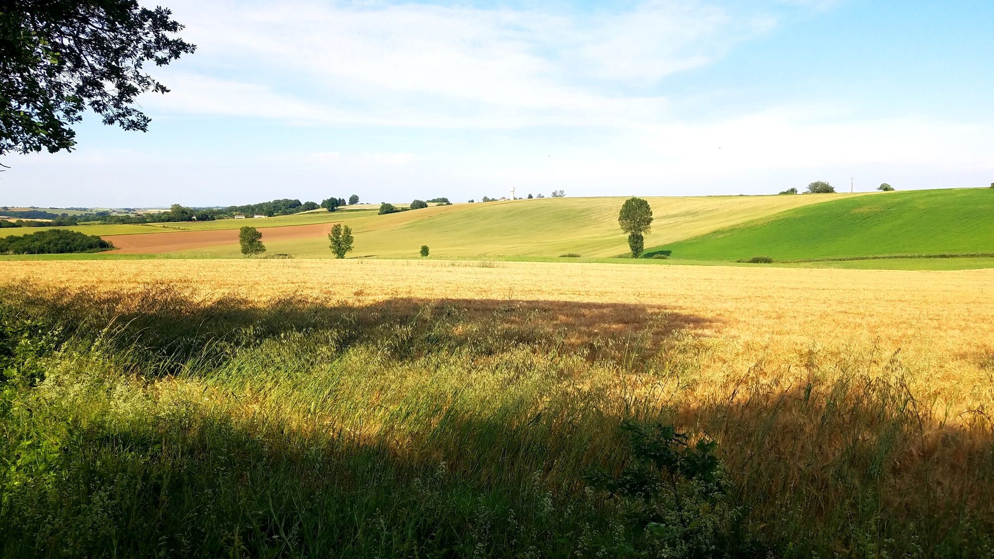
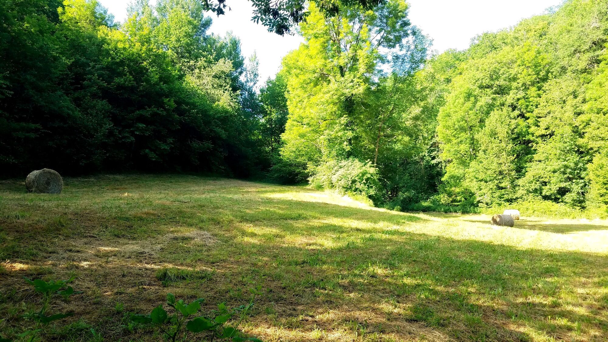
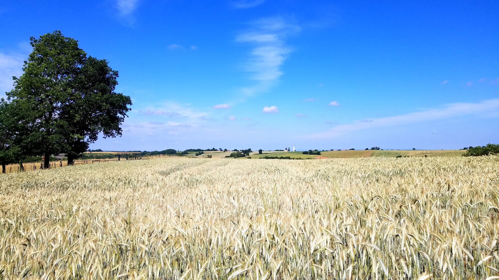
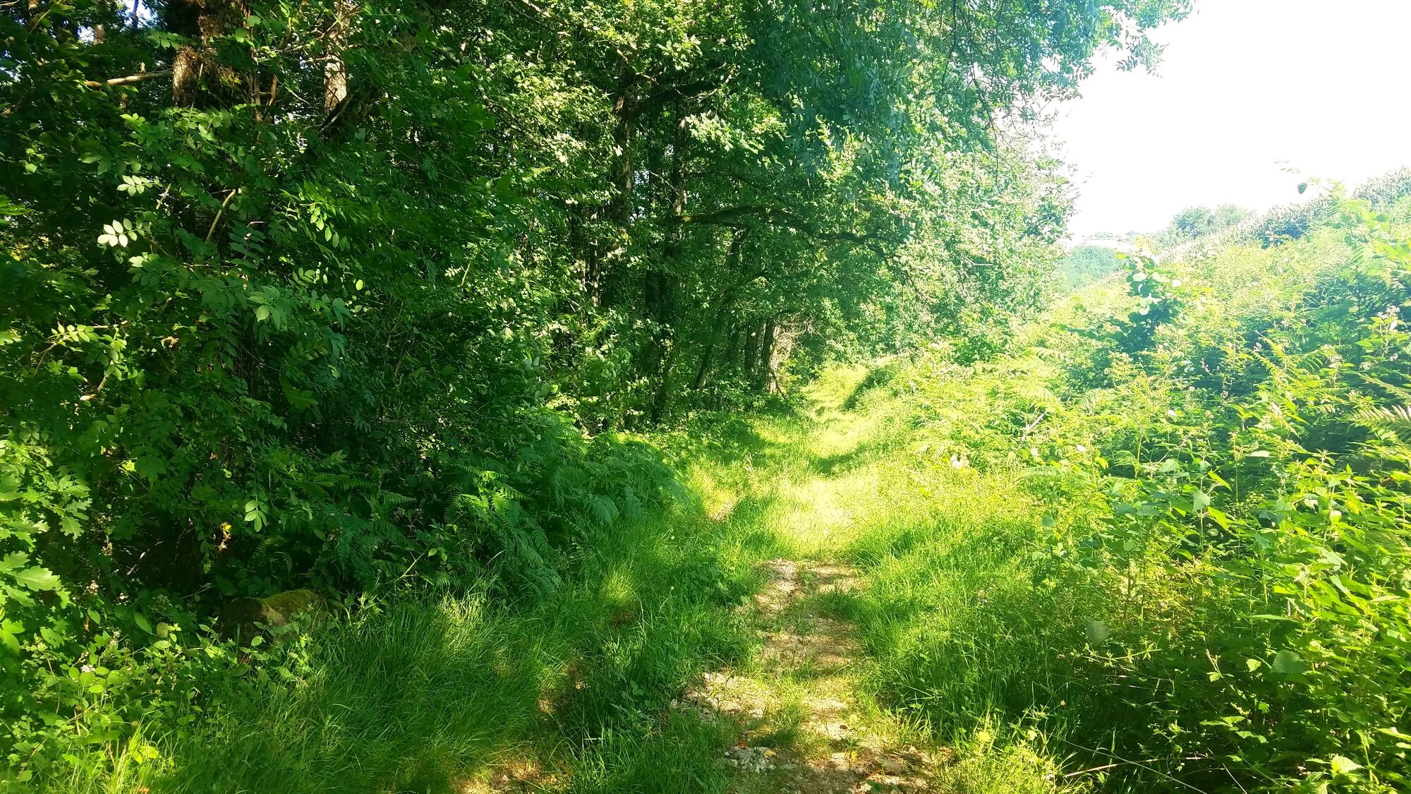
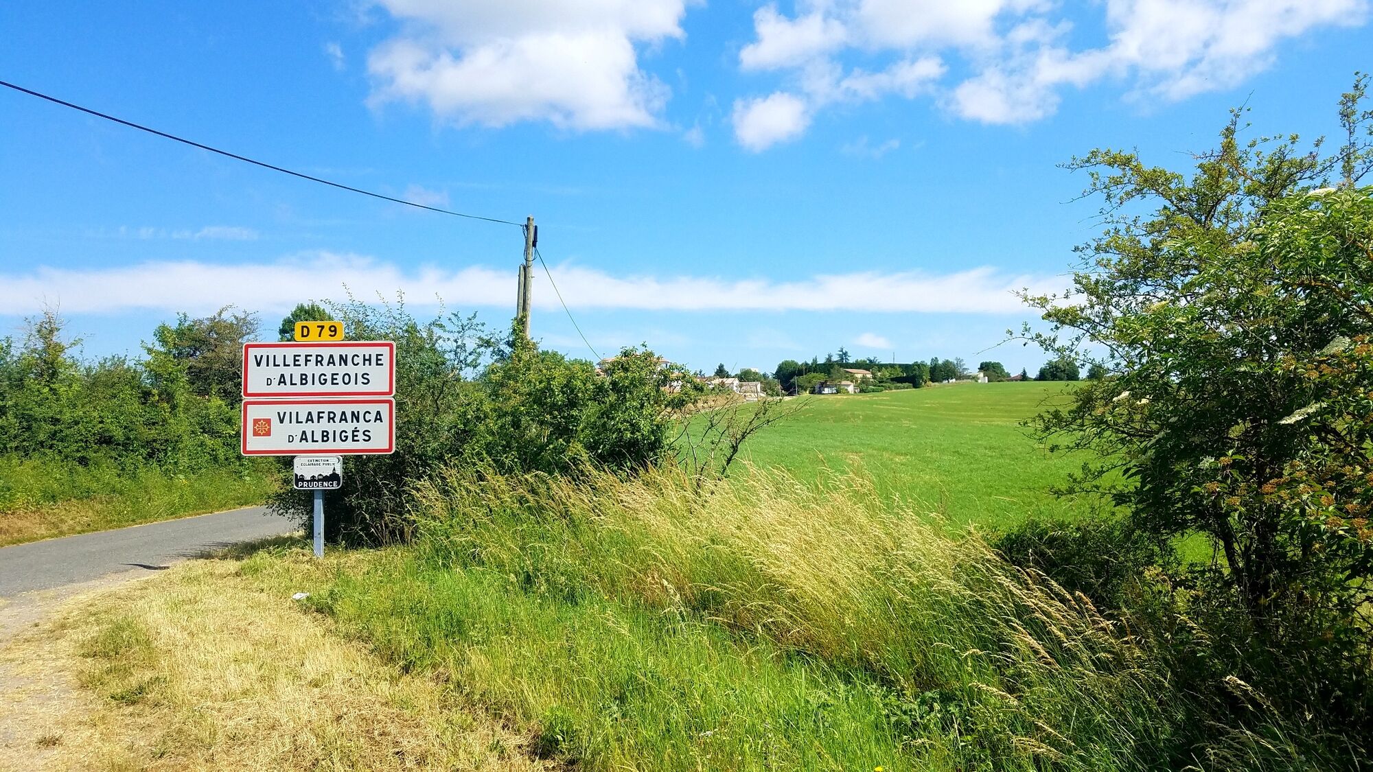
The landscapes of the Villefranchois are composed of wide valleys and beautiful plateaus. The climate is rather temperate, Mediterranean under the influence of the Autan wind, Atlantic under the dominant west winds.
- Sværhedsgrad
-
medium
- Evaluering
-
- Rute
-
Villefranche-d'AlbigeoisVillefranche-d'Albigeois7,0 km
- Bedste sæson
-
janfebmaraprmajjunjulaugsepoktnovdec
- Højeste punkt
- 448 m
- Destination
-
Villefranche-d'Albigeois
- Højdeprofil
-
 © outdooractive.com


- Forfatter
-
Rundvisningen Le Sentier de Calle bruges af outdooractive.com forudsat.
GPS Downloads


Generel information
Helbredende klima
Kulturel/Historisk
Flora
Lovende
Flere ture i regionerne