

© Perpignan Méditerranée Tourisme - ©Lionel MOOGIN - Agly-Verdouble

© Perpignan Méditerranée Tourisme - ©Lionel Moogin - Agly-Verdouble

© Perpignan Méditerranée Tourisme - ©Lionel MOOGIN - Agly-Verdouble

© Perpignan Méditerranée Tourisme - ©Lionel Moogin - Agly-Verdouble

© Perpignan Méditerranée Tourisme - ©Lionel Moogin - Agly-Verdouble

© Perpignan Méditerranée Tourisme - ©Lionel MOOGIN - Agly-Verdouble

© Perpignan Méditerranée Tourisme - ©GOR
- Kort beskrivelse
-
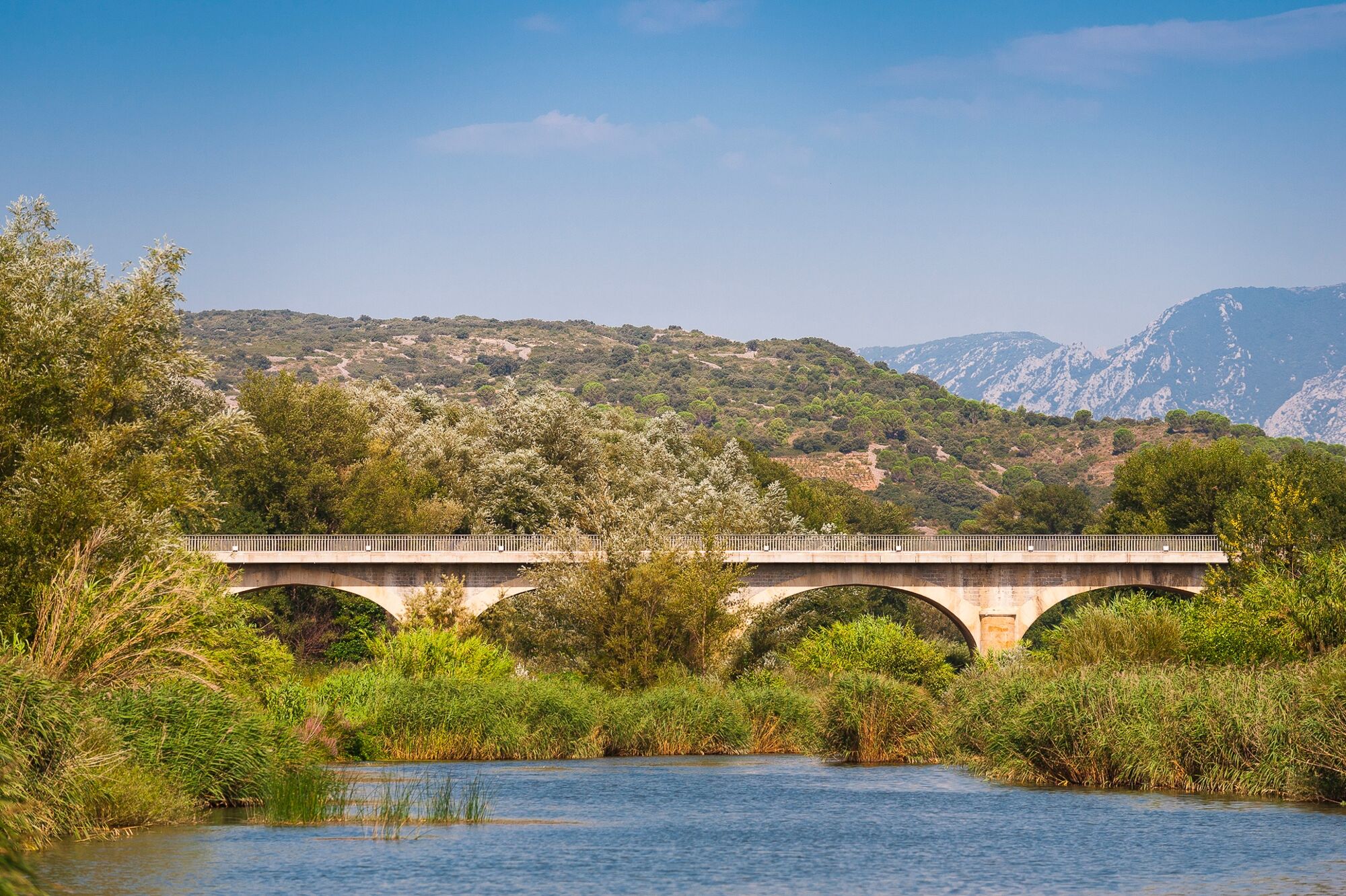
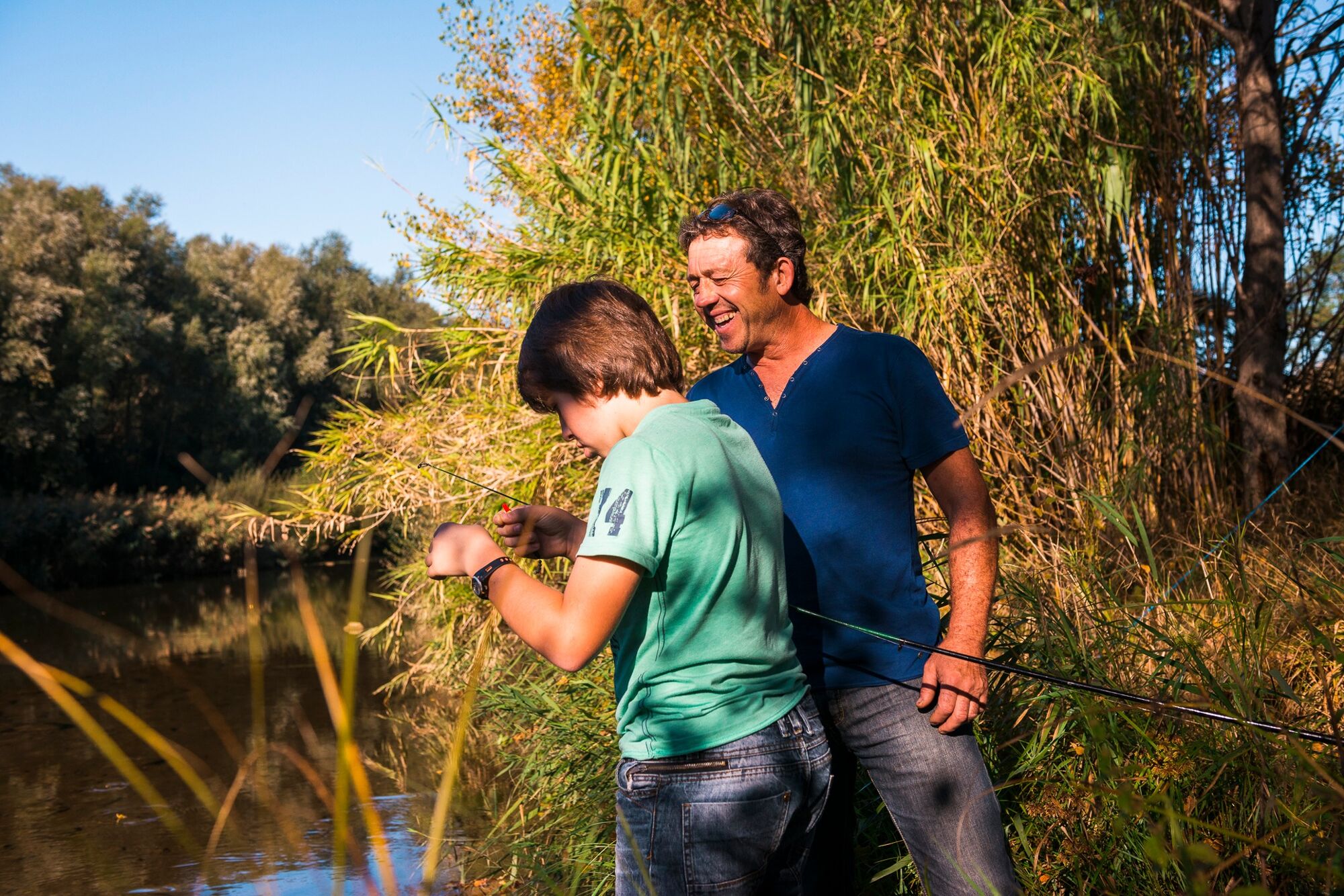
The locals say that the river Agly is difficult to see. Nestled away in its lush sanctuary and protective vegetation, it hides from all except those who venture to meet it at its bed.
- Sværhedsgrad
-
let
- Evaluering
-
- Bedste sæson
-
janfebmaraprmajjunjulaugsepoktnovdec
- Højeste punkt
- 95 m
- Højdeprofil
-
 © outdooractive.com

-

-
ForfatterRundvisningen Circuit randonnée : Bords d'Agly - ESTAGEL bruges af outdooractive.com forudsat.
GPS Downloads


Generel information
Forfriskningsstop
Insider-tip
Flere ture i regionerne