© Unbekannt - Syndicat Général de l'AOC Corbières
© Syndicat AOP Corbières

© Unbekannt - Syndicat Général de l'AOC Corbières

© Unbekannt - Syndicat AOP Corbières

© Unbekannt - Syndicat Général de l'AOC Corbières

© Unbekannt - Syndicat AOP Corbières

© Unbekannt - Syndicat Général de l'AOC Corbières

© Unbekannt - Syndicat Général de l'AOC Corbières

© Unbekannt - Syndicat Général de l'AOC Corbières

- Kort beskrivelse
-
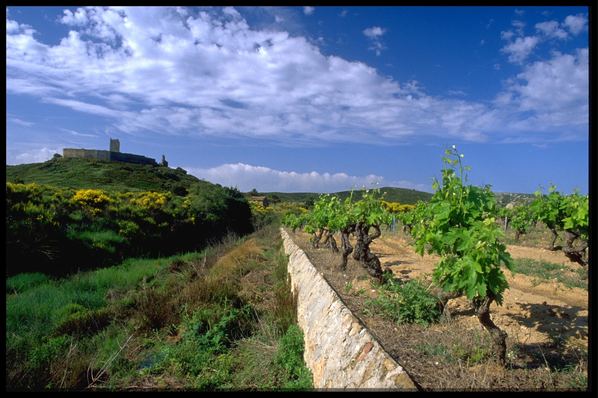
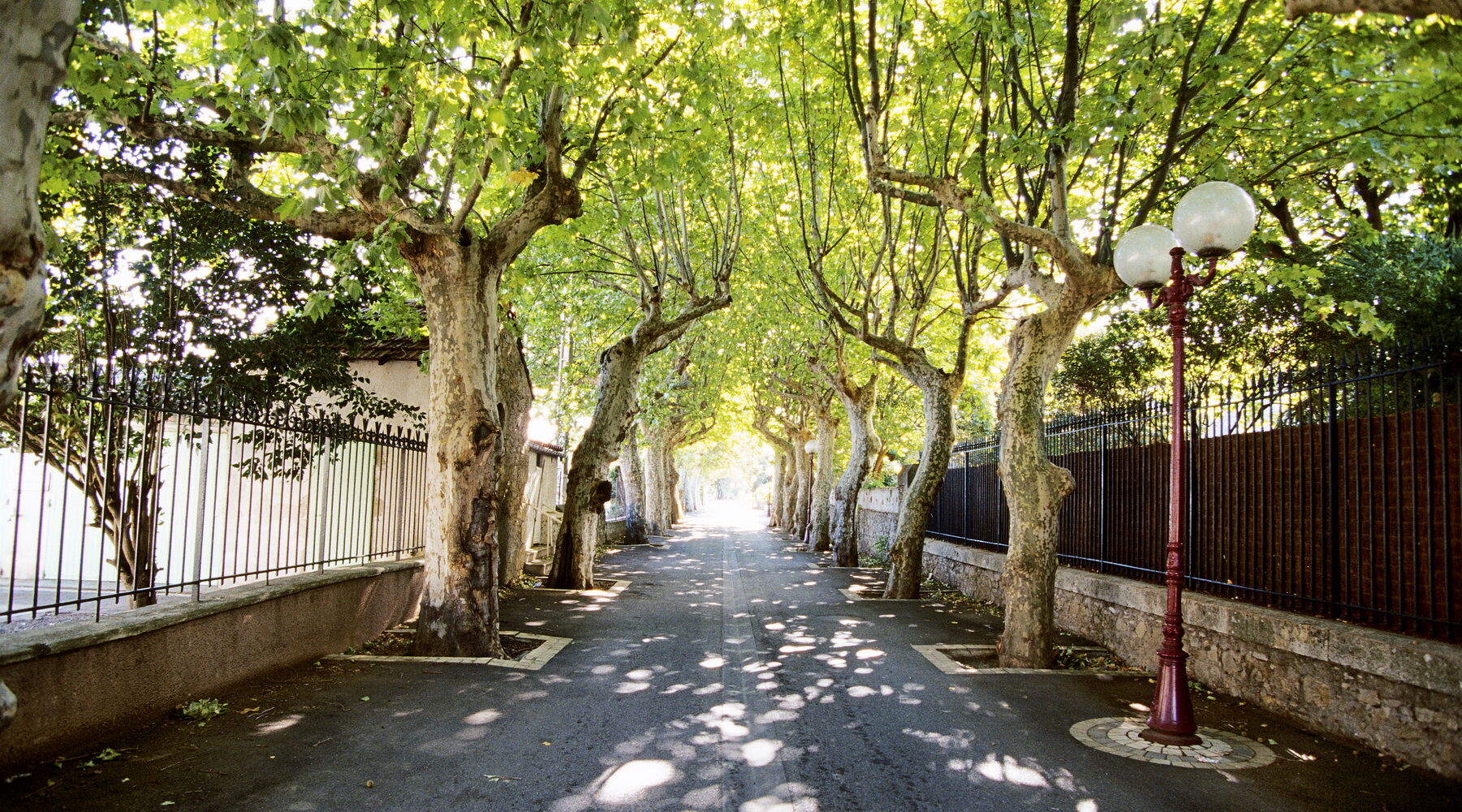
Of its glorious Roman past, Narbonne has kept several vestiges, among which the highly symbolic via domitia. The privileged situation of this road, at the crossroads of ancient civilizations made it a major commercial line for the transportation of Mediterranean goods such as wine, olive oil, and ceramics.
- Sværhedsgrad
-
medium
- Evaluering
-
- Rute
-
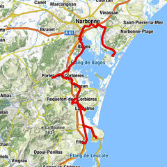
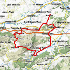
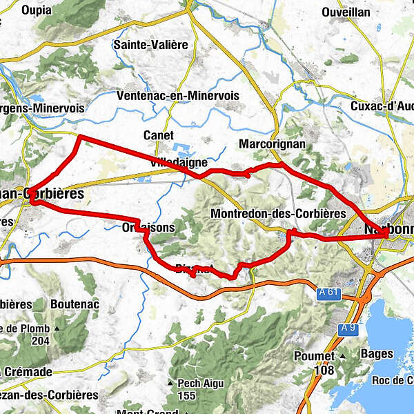
Narbona0,3 kmLa cantine d'Anatole1,4 kmBadens1,7 kmSaint-Félix2,8 kmNévian10,4 kmLaparre13,3 kmVilledaigne14,7 kmLézignan-Corbières24,5 kmCruscades29,8 kmÉglise Saint-Saturnin32,4 kmOrnaisons32,5 kmÉglise Saint-Pierre-ès-Liens36,3 kmBizanet36,8 kmLa Forge36,9 kmNarbona50,3 km
- Bedste sæson
-
janfebmaraprmajjunjulaugsepoktnovdec
- Højeste punkt
- 111 m
- Destination
-
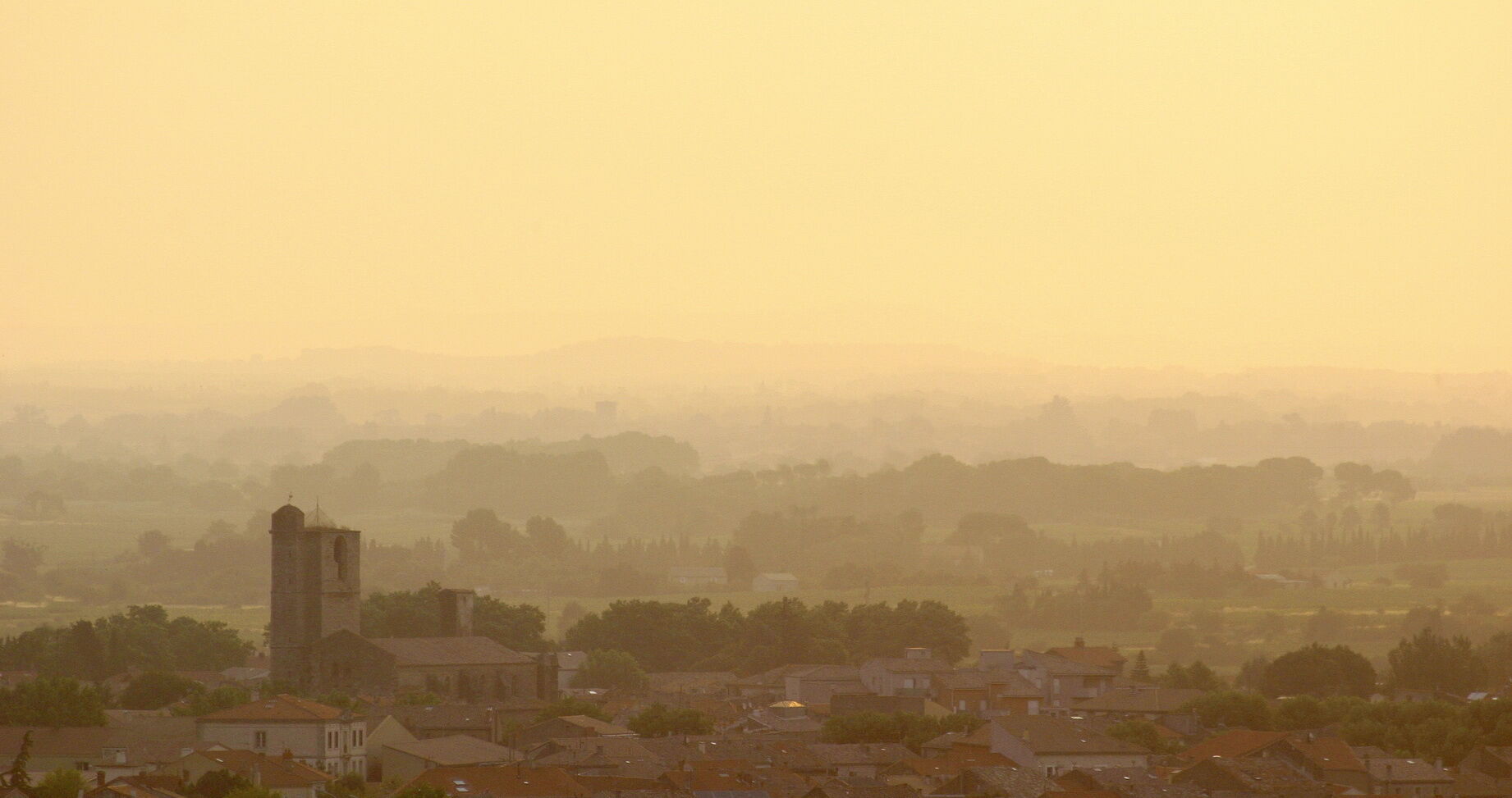
Narbonne
- Højdeprofil
-
 © outdooractive.com
-

-
ForfatterRundvisningen The Narbonne to Lézignan-Corbières route bruges af outdooractive.com forudsat.
GPS Downloads


Generel information
Forfriskningsstop
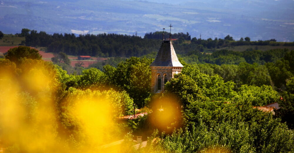
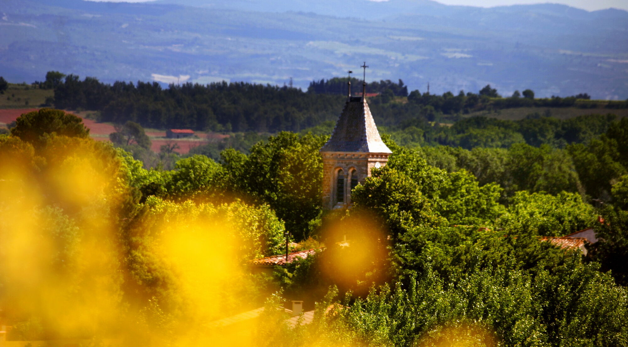
Kulturel/Historisk
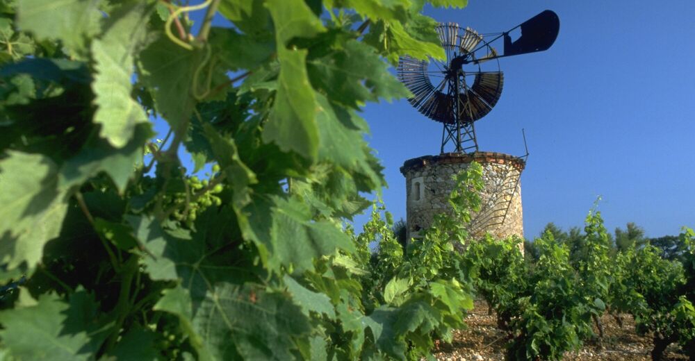
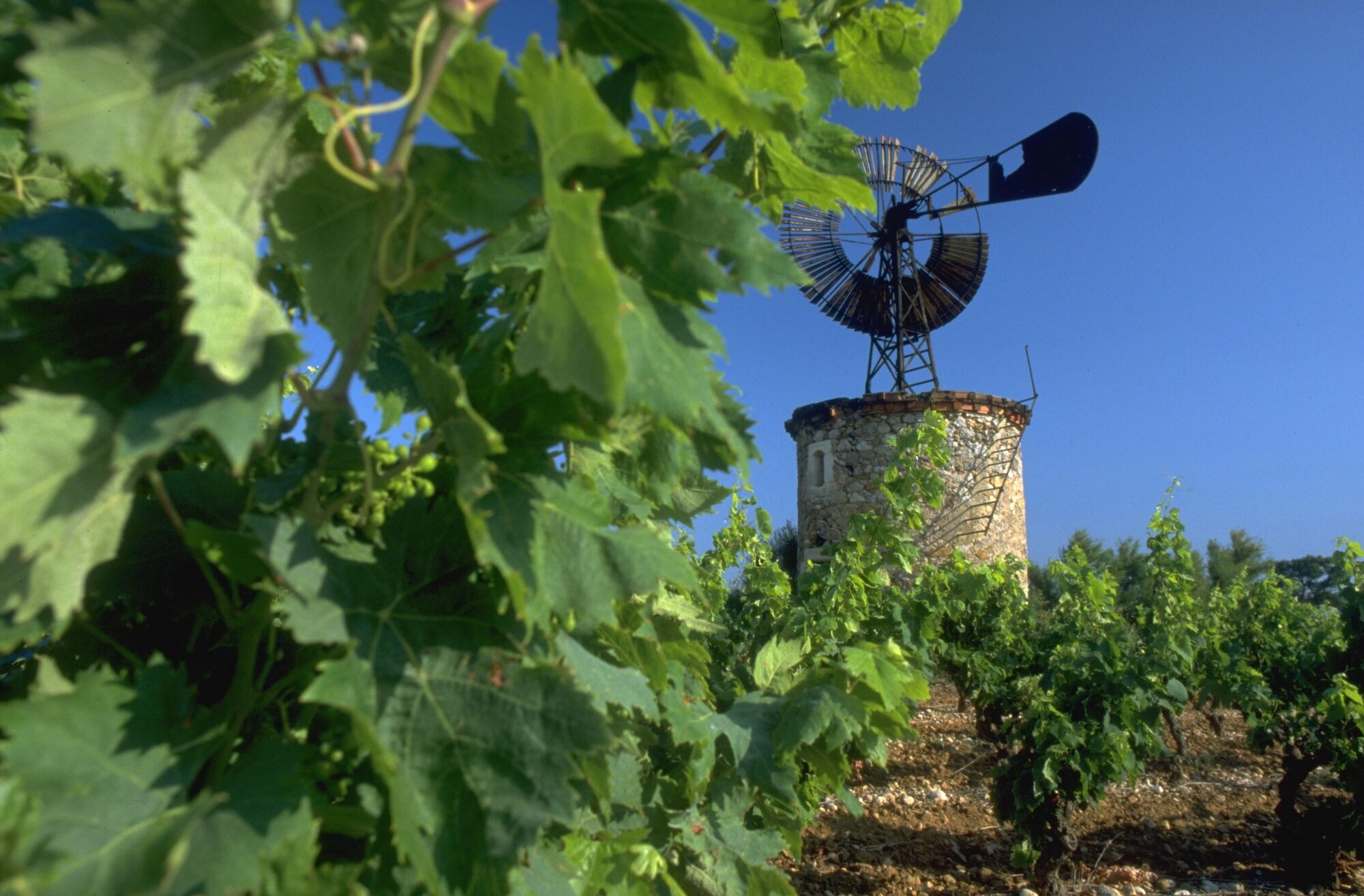
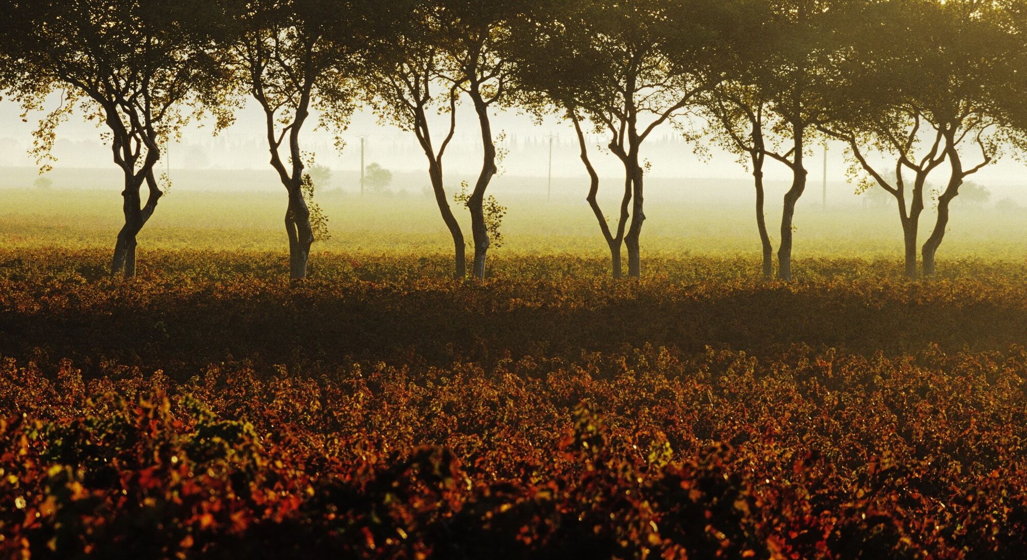
Flora
Lovende
Flere ture i regionerne
-
Aude
14
-
Grand Narbonne
8