© TV Nationalpark Region Ennstal/Kraushofer

© TV Nationalpark Region Ennstal

© TV Nationalpark Region Ennstal

- Kort beskrivelse
-
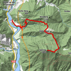
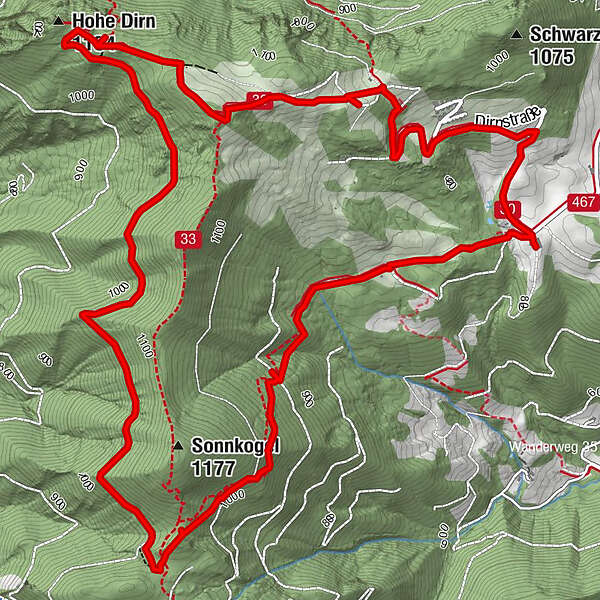
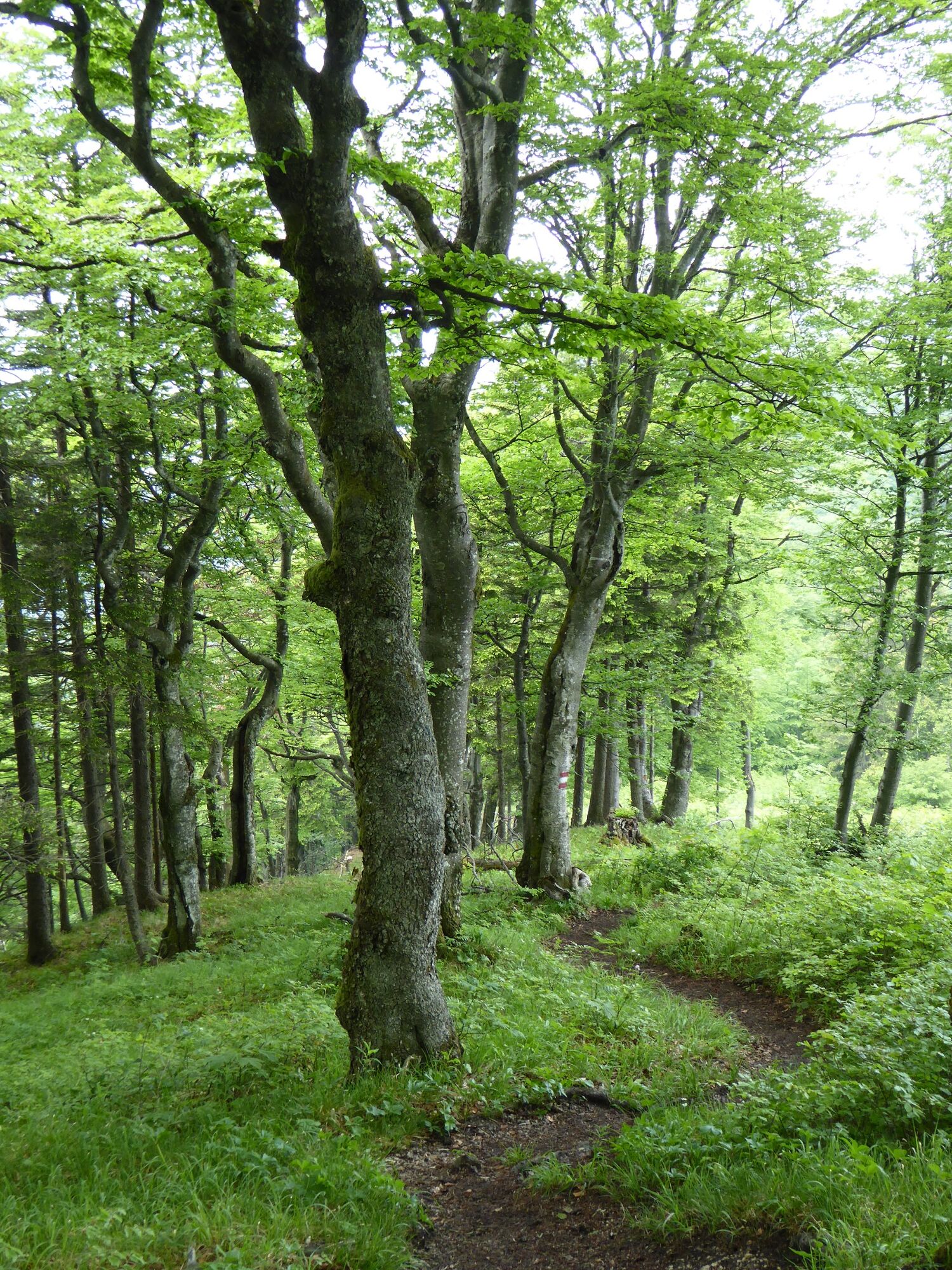
Via forest paths and forest roads around the Sonnkogel and to the summit of the Hohe Dirn (1,134m)
- Sværhedsgrad
-
medium
- Evaluering
-
- Rute
-
Hohe Dirn (1.134 m)6,9 km
- Bedste sæson
-
janfebmaraprmajjunjulaugsepoktnovdec
- Højeste punkt
- 1.155 m
- Destination
-
Reichraming/Hohe Dirn parking (access via Losenstein)
- Højdeprofil
-


- Forfatter
-
Rundvisningen Big Dirn Circular Trail bruges af outdooractive.com forudsat.
GPS Downloads


Generel information
Forfriskningsstop
Lovende
Flere ture i regionerne
-
Traunviertel
1939
-
Steyr und die Nationalpark Region
1369
-
Losenstein
396